I completed the first-ever activation of Goat Mountain (not to be confused with Goat Peak, W7W/OK-107 or other Goat Mountains in W7W) today. The summit is a communications site, so in the summer it's likely possible to drive all the way up. There were no closed gates or signs that would indicate that public access is limited, though the last stretch of road is in bad condition with several trees blocking it.
To get to the summit, take NF-8140 and turn on NF-8140145. The turnoff is located at (48.00516, -120.01544) and there are signs for the radio towers. From there, follow the road to the summit. There are a few different branches, but stay on the main road, which is fairly clear.
NF-8140 was in good condition, even with a couple inches of snow. I ended up parking at a parking area right where the road enters the National Forest, at (47.98929, -120.01036). I was comfortable driving my AWD crossover with all-season tires to this point despite the snow, since the road is not particularly steep. In the summer I think it would be appropriate to take a sedan here.
I took my fat tire ebike from that point. I would have been comfortable driving all the way to the turnoff, but there's no great place to park or turn around there, so I was happy with my choice to start biking where I did. After the turnoff to NF-8140145, the road becomes more treacherous. There were several downed trees and a few stretches with deep ruts. The road might be better in the summer, but based on this I wouldn't recommend attempting it without a high clearance vehicle.
Shortly after the turnoff, it became difficult to keep my bike under me, even after letting some air out of the tires. The road was steeper and the snow hid a lot of ruts. So, I parked the bike and hiked the last ~1000 feet of elevation.
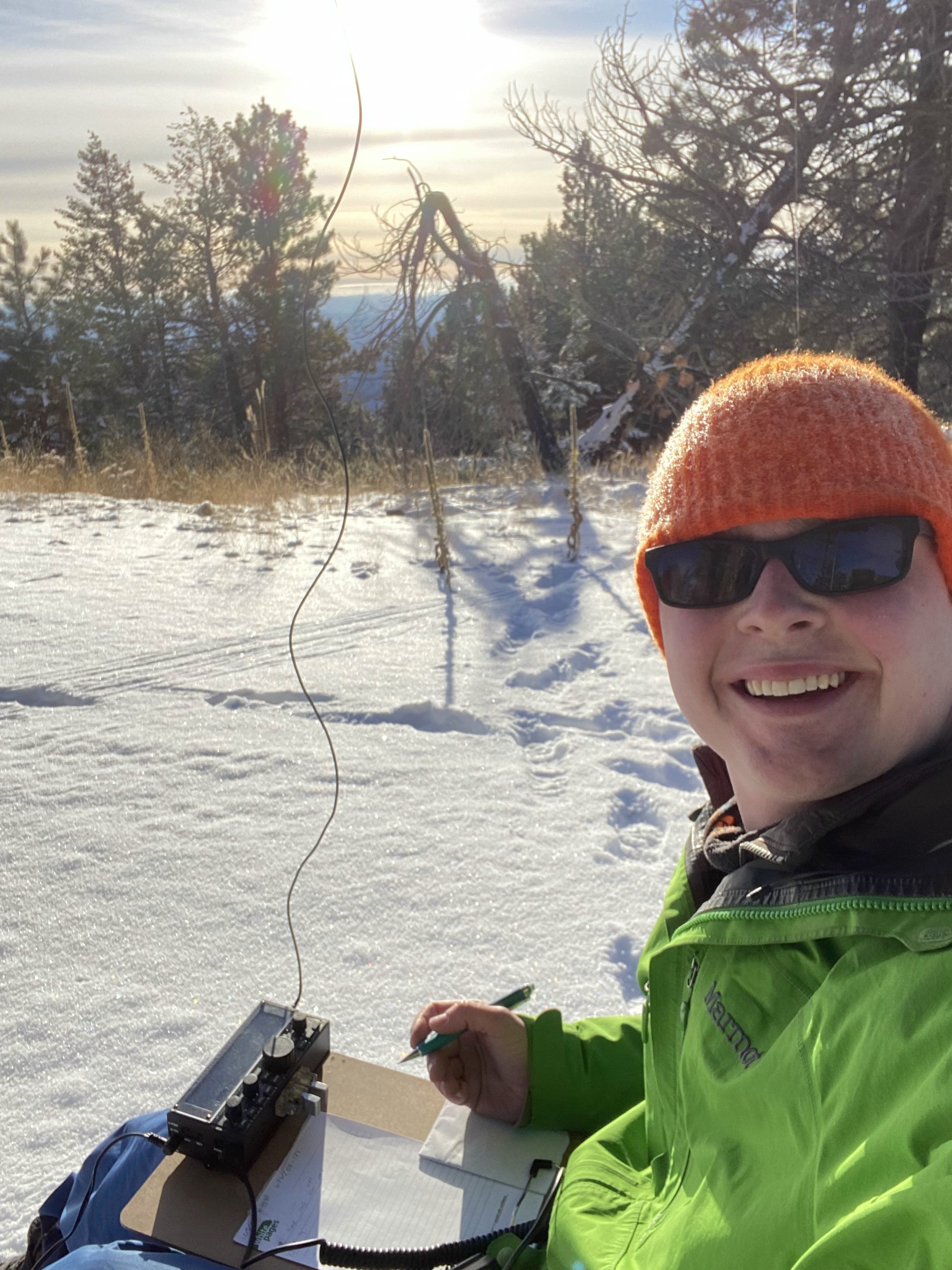
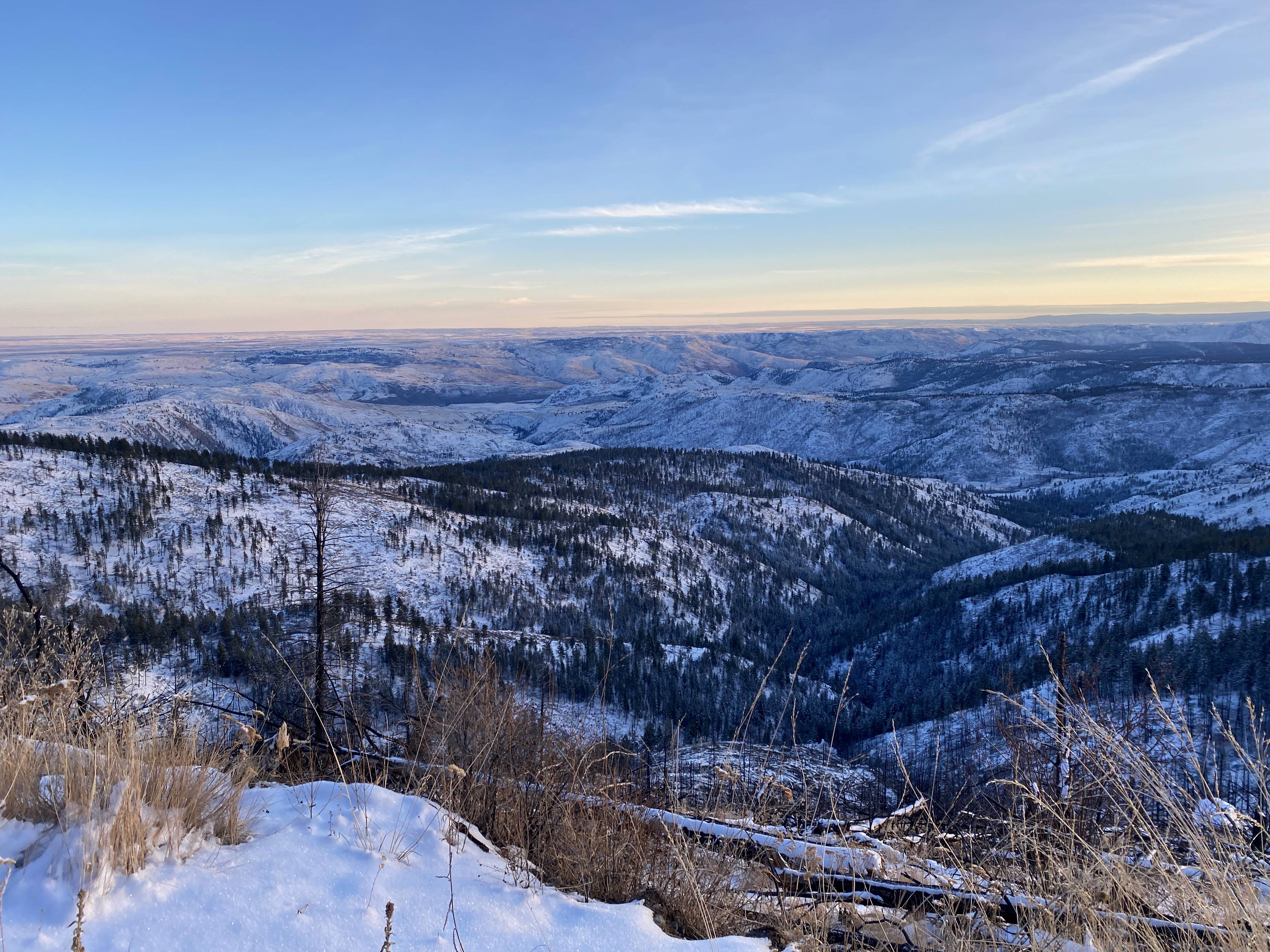
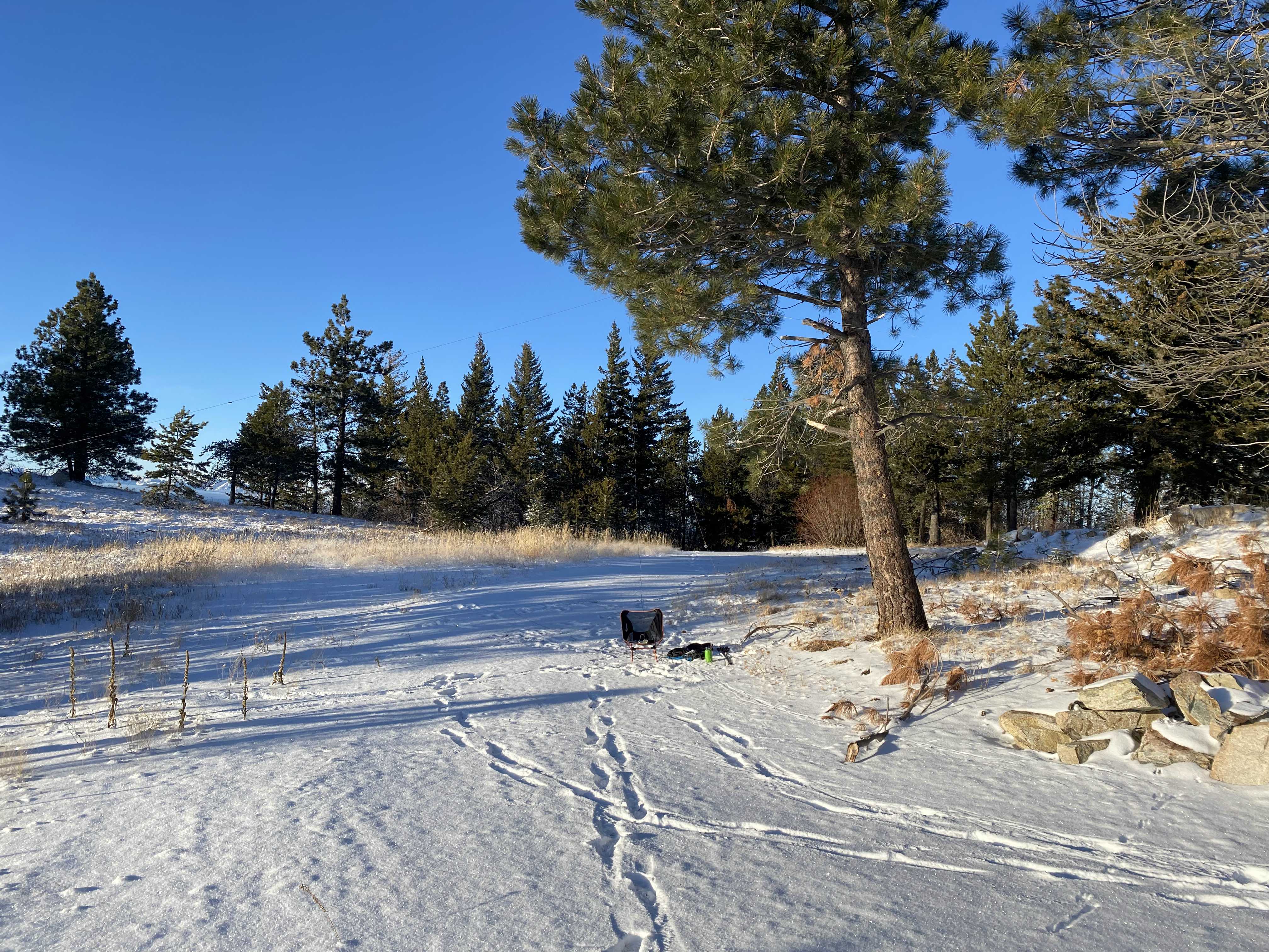
The summit is sparsely forested, but the trees hide the views. There are a few good clear viewpoints on the way up, so make sure to stop and take it in. There are numerous trees to choose from to use as antenna supports. I set up a 40 m dipole and made 15 contacts around the western US before it was time to head down so as not to be caught in the dark.