I did this summit in the area my family hunts mule deer, as I didn’t have a tag this year and was just out there for the family vacation.
The entire area is accessed by “roads” that were never cut by a grader but worn in by years of mostly rangers driving out to care for fences, waterholes, and salt blocks for the cattle they graze in the region. They drove around the lava beds they could, and over the ones they couldn’t. As such, you’ll want a decent amount of clearance, and may not always have enough room to get around junipers, sagebrush, and bitterbrush without scratching your paint. Carry a spare tire and know how to change it. We’ve lost more than one sidewall out here over the years, and you’re not going to find a tow truck likely to come fetch you.
Also, while not super common, we’ve seen rattlesnakes and mountain lions out here on plenty of trips. If those make you uncomfortable, take whatever precautions you feel appropriate.
Another note, always leave gates the way you found them. Carelessly leaving a gate open could result in days of extra work for ranchers tracking down the cattle you let out of where they expected them.
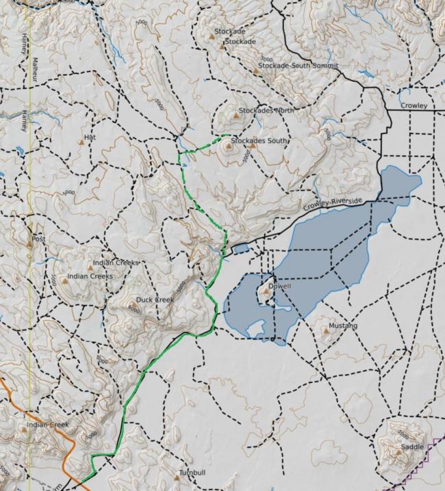
To get to the base of the Stockade Butte from Burns, take Highway 78 East and South 65 miles to the Crowley Riverside Road, and turn left (NE) and follow the gravel road out about 13.5 miles to a ranch with a house on the left, a big barn complex on the right, and a feedlot on the left side of the road with a gate on both sides of it. This feedlot accesses a BLM road that you will take up the hill into the BLM area on top. About 5 or six miles and a couple of gates and waterholes, you’ll find a road that tees in from the right, with a yellow cattleguard about 100 yards in from the intersection. Turn East on to this road and you should be pointed straight at Stockade Butte. Keep going until you find an aspect of the butte that you’d like to climb.
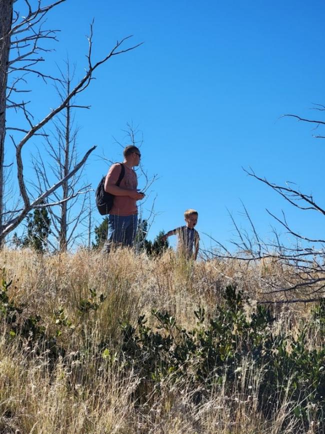
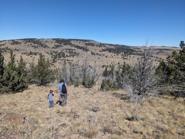
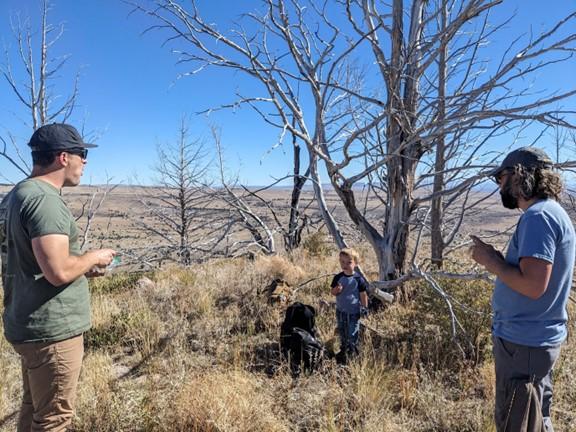
My preference is the North face, as it’s the shortest walk from the road. It is probably the steepest, though. About 550 vertical feet in around 1000 yards. The east side has a finger ridge that will make the approach a gentler slope, but you’ll cover a lot more ground. There are no trails, and you can expect it to be steep with lots of broken and tumbly basalt flows. Just pick a line. There are quite a few dead junipers around the summit, killed in a fire the summer of 2014. As of 2023 most of the ones on top were standing, and made good antenna supports. Lots of the trees killed in that fire are starting to rot off under the ground and fall over, though, so use caution loading them with more than a wire.


