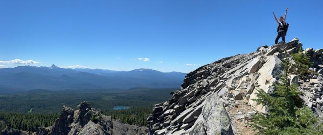
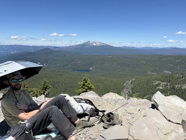
Sawtooth is a glorious peak; nice hike, interesting rocky summit and great 360 views.
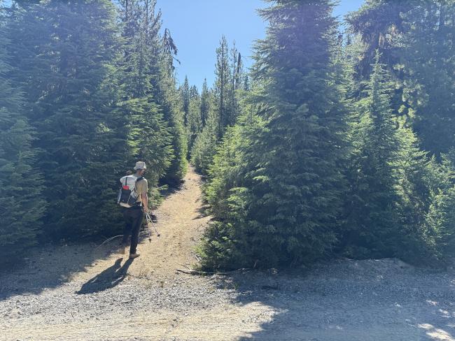
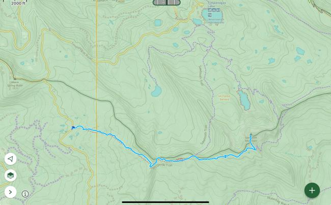
There are multiple hikes to reach Sawtooth. I took a route from the west, following the High Divide trail to the Windy Pass trail. This was the approach with both the shortest drive time and hike (from Diamond lake). It was 4 miles and 1700ft one way. It does seem to be a less commonly followed route, though the trails are maintained.
The main detractor to this hike was the voracious mosquito population. You start off by strolling past a skeeter hatchery near the trailhead. I managed with a well-applied layer of Deet, and the motivation to keep it moving. The exposed summit itself was free from the scourge.
There is a pull out near the start of the trail with space for a car to park.
Hiking towards sawtooth on the High Divide trail, it was quite hard to follow the trail and we lost it several times. It's often through pretty open forest, and the trail just kinda fades into the background. This added about a mile overall to our journey, though we were able to find the trail again each time, with the aid of a GPS app and finding local clues (blazes, flagging, sawn logs). On the way back the trail was much easier to follow. I have uploaded that track to sotamaps for anyone wishing to take this route to follow. Once you get to the Windy Pass trail it's very easy to follow the trail all the way to the summit.
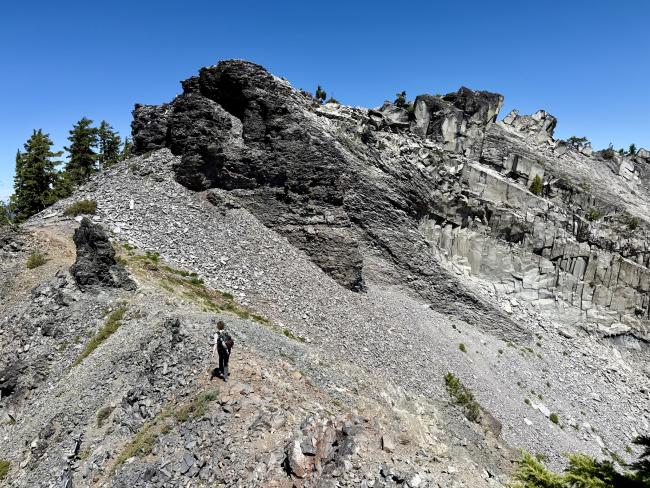
The summit itself does in fact look kinda saw-toothy. As you first approach it, it looks like you may have a scramble/climb ahead of you, but there is a path between and around the teeth that allow one to walk up. The dodgiest bit is the loose rocks on the first tooth and I’d recommend trekking poles at least for the way back down.
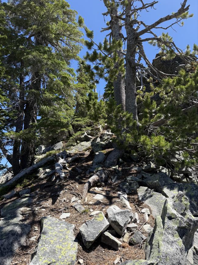
On the second tooth you can walk all the way around and clamber of the rocky side, which wasn’t bad, but actually instead there is an easy path up the small tree ridge that would be safer (we came down this way). I have included a photo of that.
I activated Sawtooth at the 2025 W7O campout and as such easily got several contacts on 2m. There would be enough space to set up HF, note that there are only stubby wee trees down off the summit itself. It was a Saturday and we didn’t see anyone else the whole time for the hike/activation.
An alternative route which will add about 1.5 miles and 500ft total would be to start at the June Lake trailhead and do a loop hike from there. I gather the trail may be easier to follow.


