K7FOP and I joked that this summit report could be summed up in two words: “NOT RECOMMENDED”. But I’ll go into more detail if you’re up for an adventure with your GPS and machete in hand. It’s a heck of a bushwhack for just one point. For a much easier drive up point, try Little Hebo North of Hwy 22.
Getting to the trailhead is easy enough from Portland. Take Hwy 22 toward the coast and turn left/south on Forest Road 2281. The turnoff is at 45.0957, -123.7444. Alternatively, you could try Forest Rd 12 a bit further West for a shorter drive on gravel. We didn’t test this route, but it joins 2281 and looks rather well traveled and maintained at that point.
The gravel road is fairly smooth with a few avoidable potholes along the way to the trailhead. It’s single lane, so the usual cautions about turning on your lights and going slowly around curves apply. Keep left/south where you join Forest Road 12. All told, it’s about 6.5 miles to the trailhead, Forest Road 121 on USFS maps.
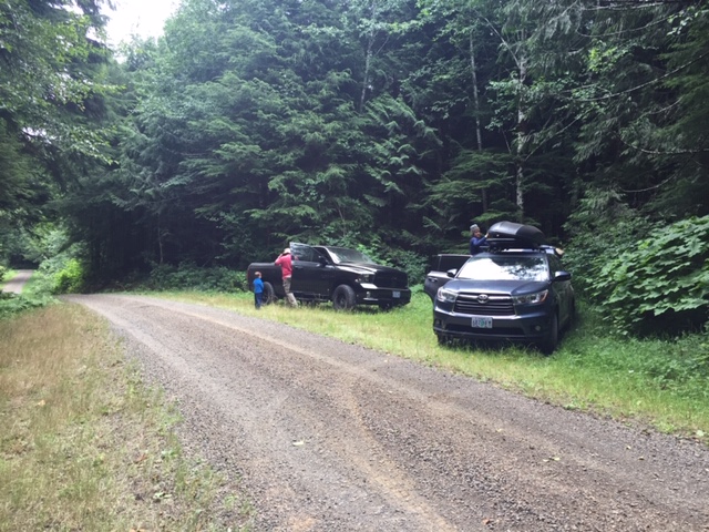
There’s plenty of parking for several vehicles directly across from the “trail” at 45.0728, -123.8112.
When looking at the roads to a summit you never know if it’s an open and active logging road or if it’s been long abandoned. If Forest Road 121 wasn’t blocked and totally overgrown, you could drive another mile to the summit from here and hike less than 500 feet for a fairly easy activation. Several decades of blow down and growth have overtaken the road and made the journey much tougher.
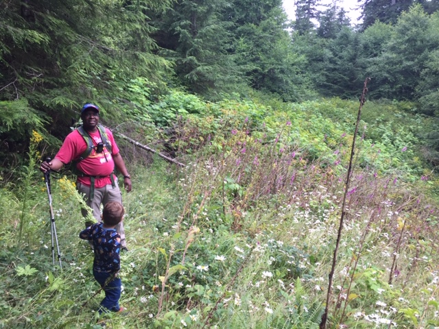
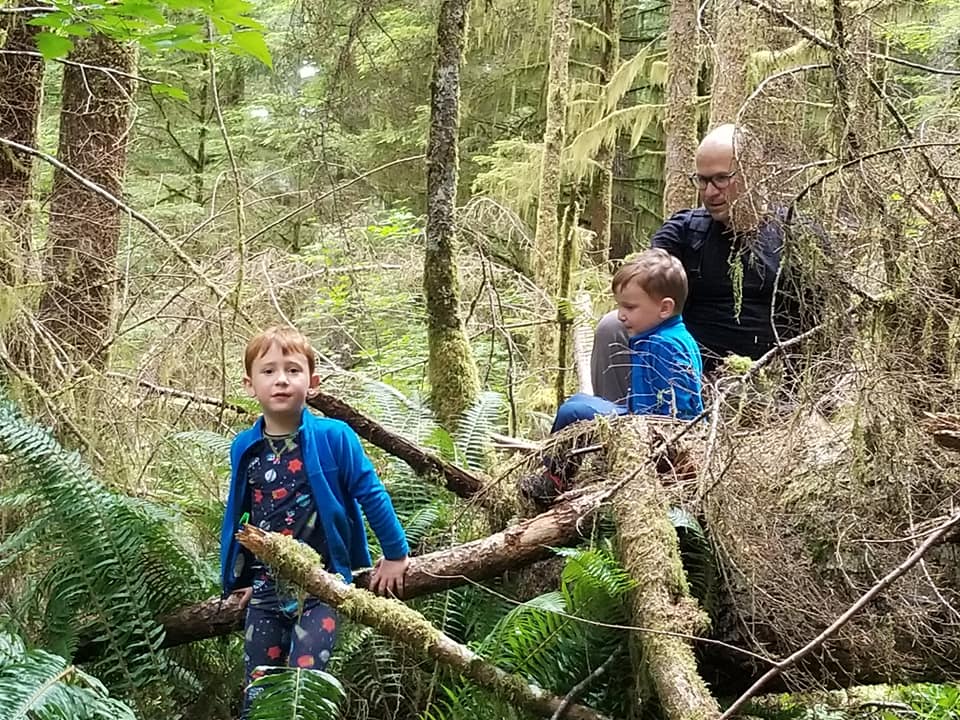
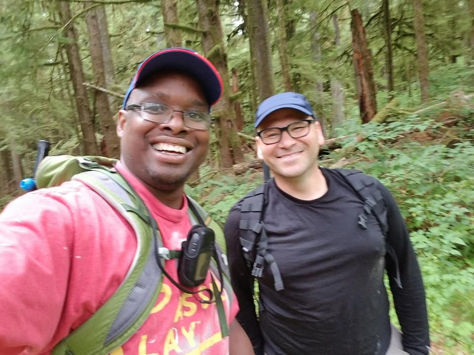
Renee (KF7TED) and I got out of the car and I started sizing up the closed and abandoned road. Max (6 years old) and Sam (4 years old) quickly warmed up to Roland (K7FOP) and kept him entertained with non-stop dialogue for the next 4 hours.
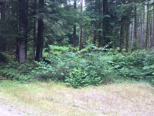
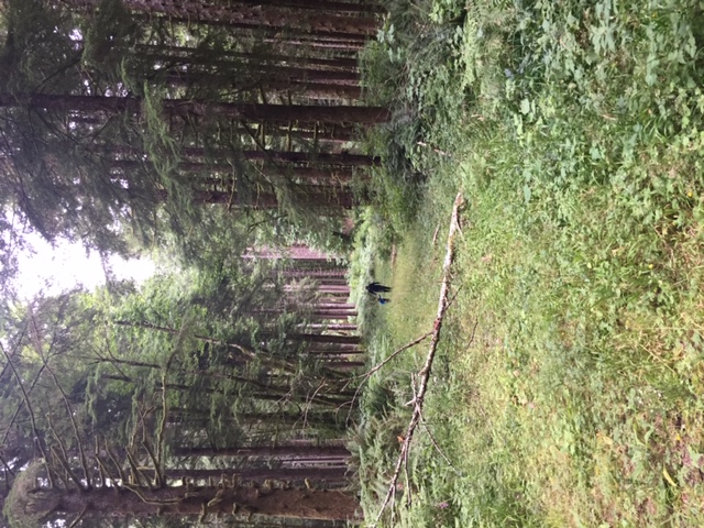
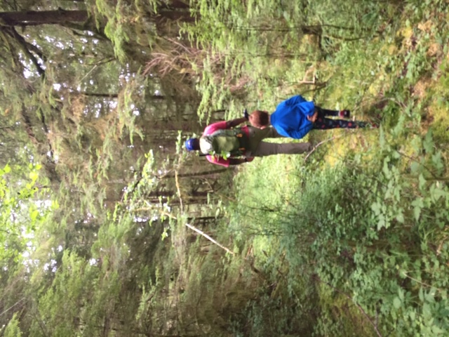
The first 1000 feet of trail is walkable with two or three people side by side. This abandoned road continues a bit to your right about 1000 feet from where you parked. But your “trail” is through the ferns, thorns, and saplings to the left. And it won’t get any better for the next mile to the summit. Be prepared to either go through, over, or around dense thickets and downed trees.
At first we plowed headfirst into the brush. But we soon came across an impenetrable wall of thorns and saplings. We abandoned the road all together in favor of climbing around and over downed trees. Where we rejoined the roadway, Max and Sam simply ducked down below the encroaching brush and went through the small tunnel of green. The adults either went around again or wrestled with the branches hitting us from waist to face. If you decide to climb up above the road, be warned that the saddle attached to this summit is a giant patch of thorns. Keep south of the saddled to avoid it. After over 2 hours we finally made it the mile to the summit. We followed the road more closely on the way down. It took us about an hour and a half to get back to our cars.
Will it take you that long without a 4 and 6 year old? Probably. I was grateful when we needed to pause for a minute while they climbed over a log as it gave me a chance to catch my breath.
Should you even attempt it? Probably not. There are lots of easier one-pointers around.
Am I saying my two boys are tougher than you? Absolutely. ;)
But if you do decide to give this one a try… Bring your GPS and a machete. The reward is a wooded summit with no view and bragging rights to the bushwackiest activation we’ve ever experienced.