Access to Saturday Rock summit is via NF-42 which begins at Sunset Campground at the end of NE Sunset Falls Road. The road is well graded, though peppered with its fair share of chuck holes. Follow NF-42 for approximately 9.4 miles to the intersection with NF-53. Continue on NF-53 for another 2.4 miles to the intersection of NF-53 and NF-38. Plenty of room to park at the intersection off the main roads.
Summiting Saturday Rock is a definite challenge! There is no trail to the summit. There appears to be two “reasonable” routes, one from the East of the summit at the rock quarry and one from the West at the junction of NF-53 and NF-38. I chose the West side approach. You’ll need a good Topographic map and preferably an electronic tracking device. It ended up being approximately .61 miles of uphill bushwhacking (520’ vertical rise). The undergrowth is thick in places, but mostly just climbing over dead fall and through small trees. Lots of arm scratches. The East approach might have been shorter, but definitely steeper.
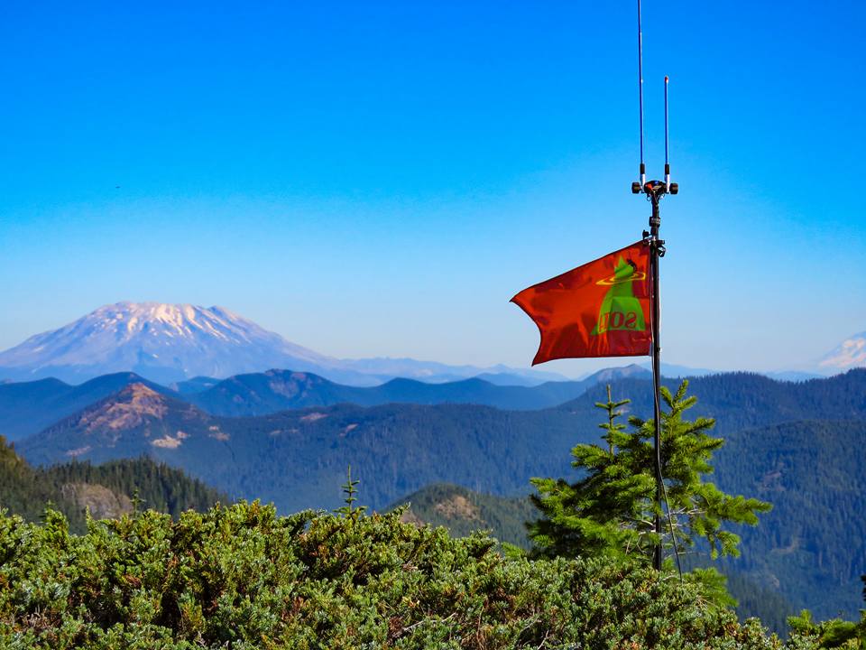
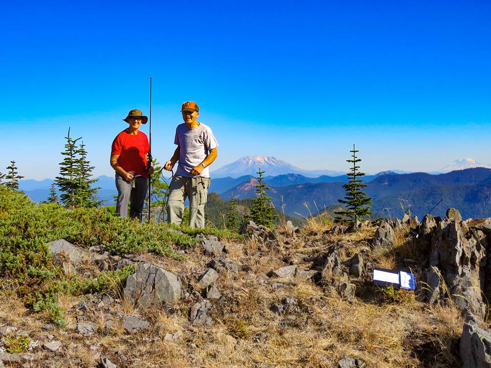
The summit treats you with beautiful 360-degree views, including Mt. St. Helens, Mt. Rainer, Mt. Adams, Mt. Hood and Portland, Oregon. A clear day may open up more distant views to the south, though on this day it was in a thick smokey haze. There is plenty of room to set up an antenna(s).