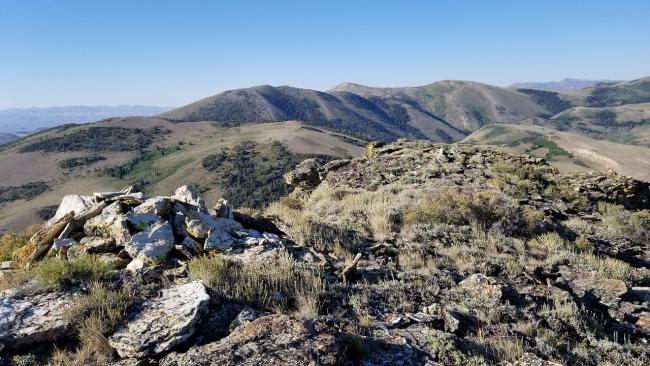
There are no established trails to the summit, but you basically head east up the mountain. This is a total bushwhack, steep and lots of scrub oak and sagebrush. The summit is exposed with lots of room to set-up my inverted “V” wire antenna. The ascent is just shy of a half mile and 500 feet of elevation gain. The first 8 miles of the dirt road is Prius friendly but the remaining drive requires high clearance, though not a 4wd.
Quartzite Butte (W7N/EN-094) is just a stones throw to the south and makes for a short double activation.
Directions: Head west from Hwy 93 onto Three Creek Road out of Rogerson, ID. This is also called Jarbidge Road. Turn east off Three Creek Road at 42.11494, -115.02895. It doesn’t appear this road has a name or designation. Continue generally south on this road for approximately 8.33 miles and then turn right at 42.00408, -115.01320 (maps don’t indicate a number/name). As you drive down this road, you’ll cross a cattle guard at the Idaho/Nevada border and shortly thereafter a sign for Humbolt National Forest. From the beforementioned intersection drive approximately 5.75 miles south to a side road (left turn) that begins the ascent to Wrangle Mountain. I drove as far as I felt safe and parked (41.93576, -115.05072). From here the hike to the summit begins. I couldn’t open the cattle gate so had to climb over the barbed wire fence.


