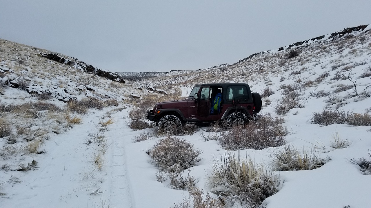
From Hwy 93, turn east at 42.06156, -114.67514. This is near mile marker 5 (5 miles north of the Nevada border/Jackpot). Take an immediate right and then left. Continue east up a well-graded road. The road begins to deteriorate after about a mile into deep ruts. A high clearance vehicle is recommended. The road eventually heads north. At approximately 4.9 miles from Hwy 93, make a right turn at a barbed wire cattle fence gate (42.07324, -114.63633). You’ll need to open the gate and put it back once you are on the opposite side. Head east along this less-maintained road. On this day, the road was unpassable at about ¼ mile (42.07147, -114.63207) due to deep snow. I parked the Jeep and walked the remaining 2.5 miles to the summit.
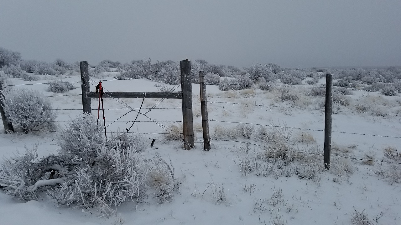
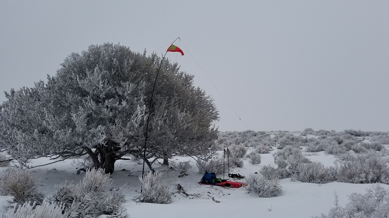
SOTA maps indicates the summit just outside another barbed wire cattle fence gate (42.08326, -114.59982). It is obvious that the SOTA summit is lower than the actual summit. I think, the true summit is at 42.08422, -114.59863 as indicated on the USGS topo map. I couldn’t get the wires holding the gate to budge, so I climbed over it! The summit is a quick ¼ mile from the gate. There is a small grove of trees near the USGS summit that “would” be perfect for summer shade and attaching wires. This is where I set up my station to get out of the cold winter wind.
I use Gaia GPS for navigating, but in this case its map is not as detailed as the USGS topo maps. The USGS maps indicate additional roads that would make accessing this summit much clearer.
This area of Idaho has been abysmal for working 2 meters. There are not many chasers within 100 miles of the W7I/CI Region. 20 and 40 meters apear to be the money bands.