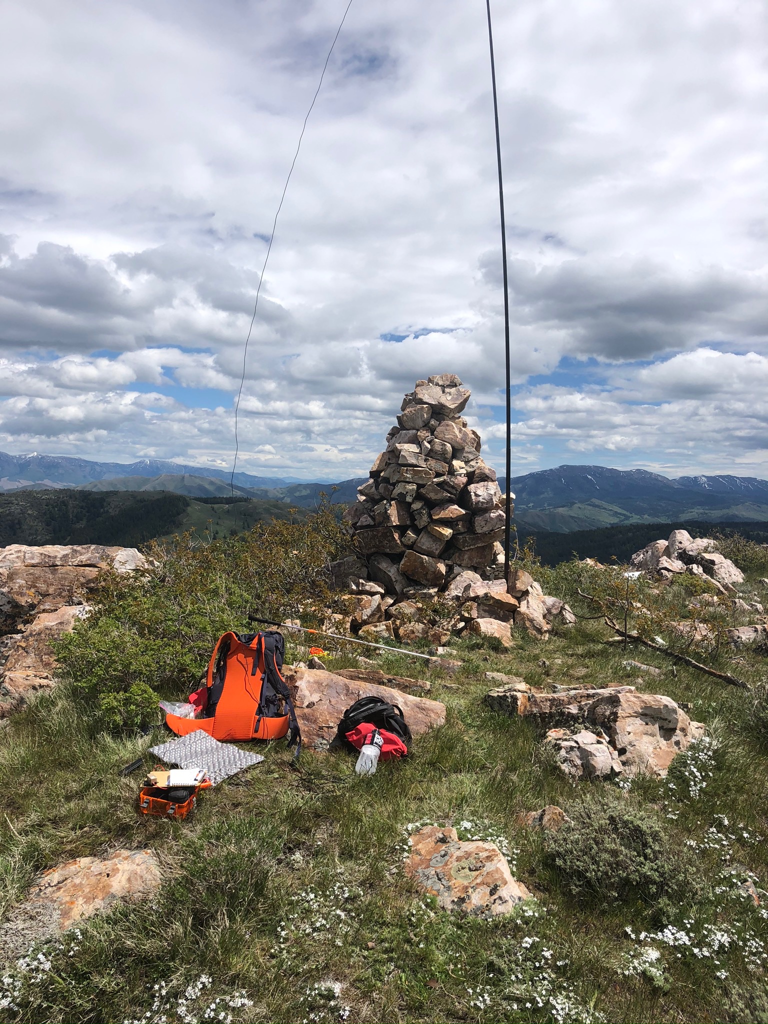
This summit is located South of Pocatello Idaho. Take Bannock Hwy through Pocatello to Gibson Jack Rd which will take you to the Gibson Jack TH (see W7I-SI-153 Writeup below). Trailhead parkinglot has recently been paved and has nice Forest Service vault outhouse. Trail is dog friendly with doggie bag dispensers located at beginning of TH. Take trail 7014 single track approx 5 miles in a Westerly course which later turns South for approx 1/2 mile to what we locals call "the Pink Gate". After going through the gate proceed about 200yds downhill until the trail intersects with Elk Meadow trail. From there take a right in a Westerly direction approx .50 of a mile. Watch for a old FS trail to the North barely visible. Watch for will the corner of the fence line . Follow the fenceline about a mile, all of which is uphill. You will see a bobwire gate 3/4's of the way to the summit. Go through that and bushwhack to the summit. Try to keep on the ridgeline. Once at the summit there is a rock cairn you cannot miss.
Total Distance is Approx. 13 miles round trip. Look to your East when you reach Elk Meadows intersection and you will see a very good double track going to W7I/SI-153..see the below write up on that peak if you want a 2 fer.
Good Luck !