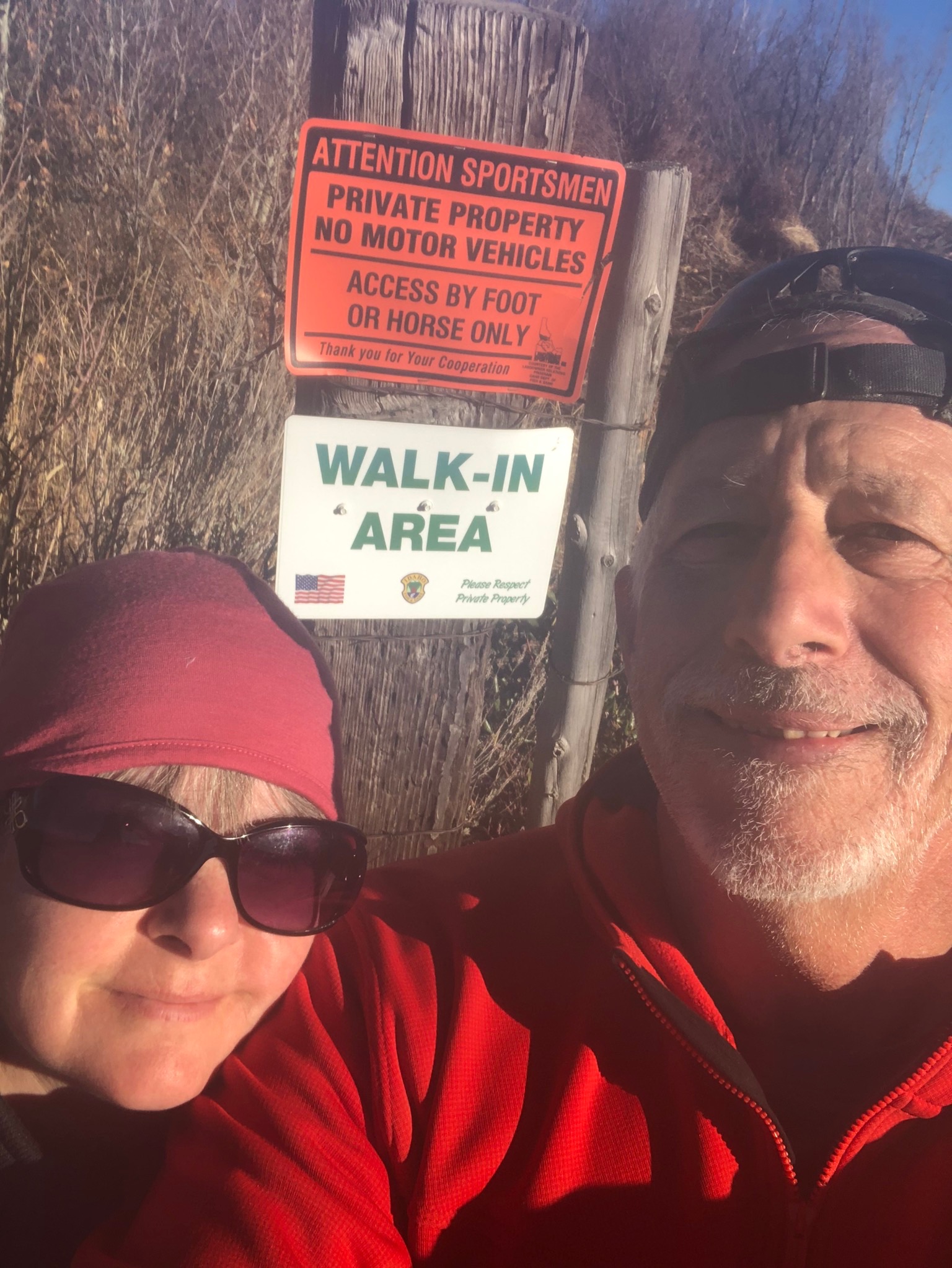
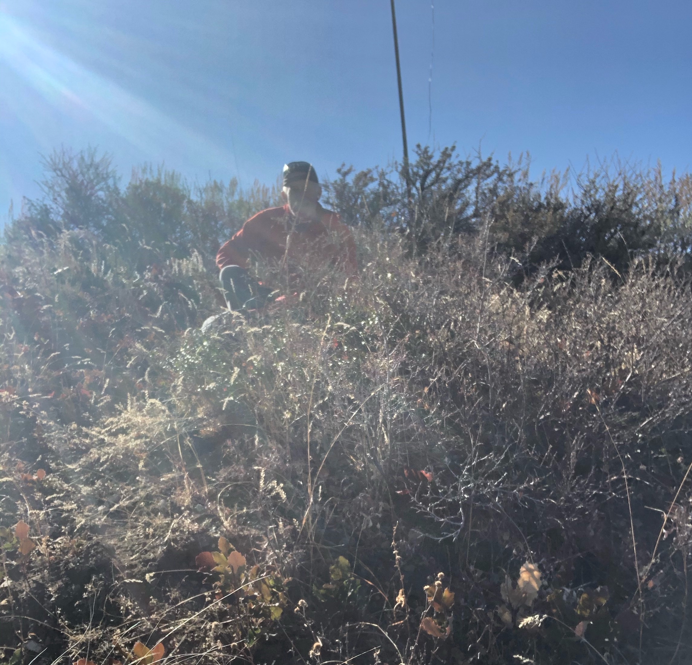
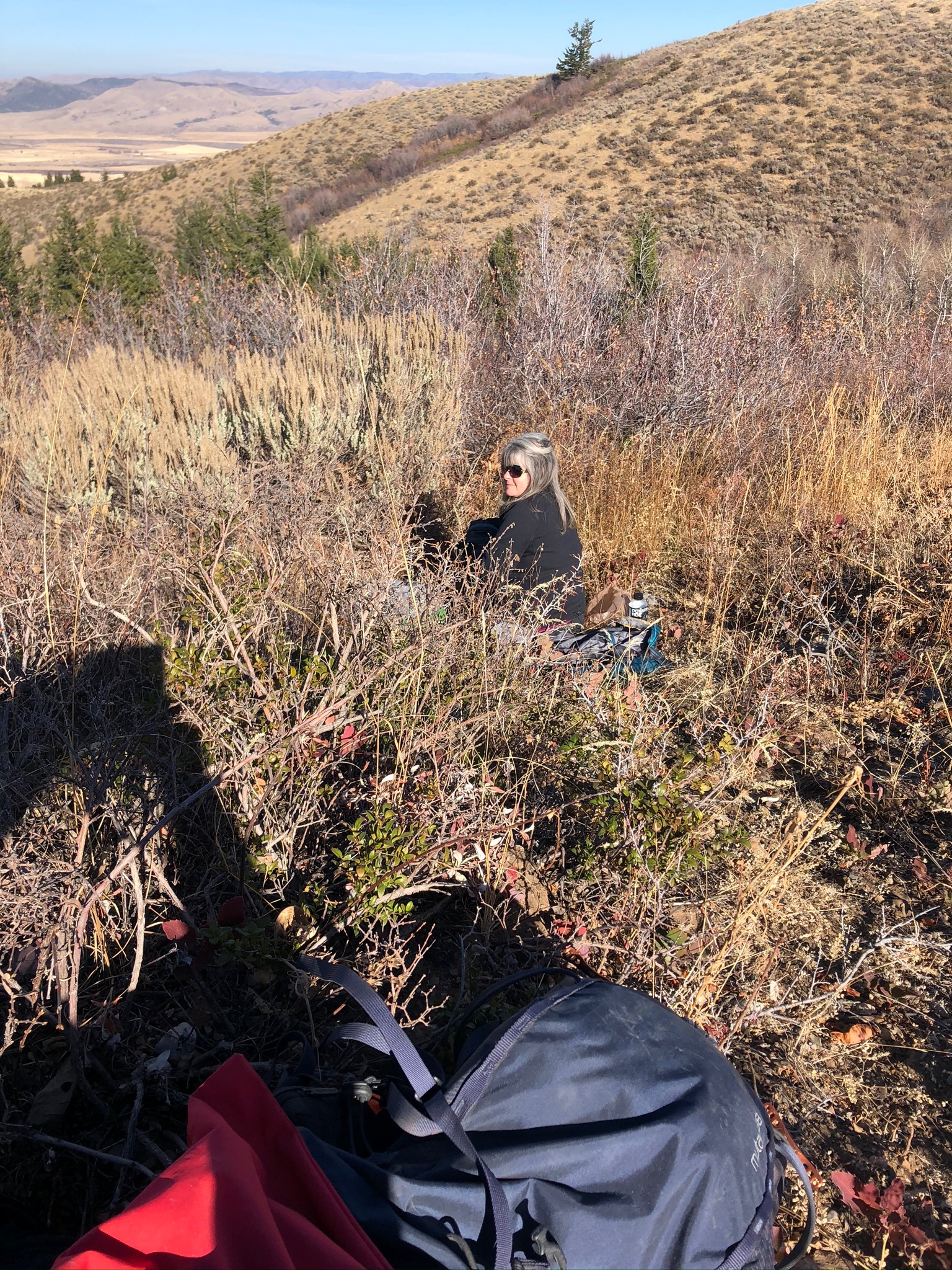
Summit 6620 is located in N Bannock County. Travel North down Hiline road from Pocatello Id to 2 1/2 mile rd in Tyhee Idaho. Proceed up 2 1/2 mile road pass the Oregon Trail Gun Club. You will go literally through a landowners property with his house and outbuildings, drive slow and be respectful. Proceed down the Rd until you see a paneled gate..on the gate it states "OPEN AUGUST 31st TO NOV 16 ". The admission onto this property is allowed through what is called "Access Yes" by our Fish and Game Dept. only through hunting season and lets you access BLM/Forest Service land through landowner property so please tread lightly. Continue up in a Easterly direction for another 2-3 miles on the main road. Be aware that on your left is the Fort Hall Indian Reservation so do not wander onto it without permission. As a side note, the road you are on is literally one of the branches of the Old Oregon Trail...just North of this road is Ross Fork which is the main part of the Oregon Trail that goes into the Original Ft. Hall location which is now under American Falls Reservoir. You will come to a barbwire gate with a Fish and Game sign in sheet so make sure you fill it out. Go another 2 miles on the double track road and you will come to another electric cattle fence that is not live..go through that and proceed until you see the sign which states Walk In Area Only. I park here at the barricade. Walk throught the gate and make sure you leave it closed if it was closed, open if it was open..this goes for all the gates you go through. You will have a easy hike following a single track starting at about 200 yds from the road. Follow the fence line but stay North of it on the single track. During this time you will see a summit with a double track UTV/Jeep track on it. This will be the steepest part..about a 1/4 mile uphill hike. Once on top head South about a 1/2 mile to the summit.
This is around a 5 mile round trip hike...enjoy !
If you decide to try this summit get ahold of me...I live off of 2 1/2 mile Rd on Whitecloud St. so this summit is sorta in my backyard ...but there is a small window of time to access it.