Spencer Butte is the site of a former fire lookout in the Gifford Pinchot National Forest, just north of the town of Northwoods. At the time of my attempt, the simplest access is to go north on FR 25, turn onto FR93 (if you go through the winter gates on 25, you just missed it), and follow 93 to the trailhead. This route is mostly paved, just a short section of gravel from the Muddy River up to the junction with road 9039. However, the Forest Service has received approval to decomission this gravel section of road, moving the access to the trailhead via FR 90, then 9039, and finally back onto 93. This route involves more gravel, but is nothing that a regular car can't handle, just keep an eye out for potholes. There was no large signage at the trailhead, but there is a fairly obvious parking spot on the east side of the road, trail takes off to the west.
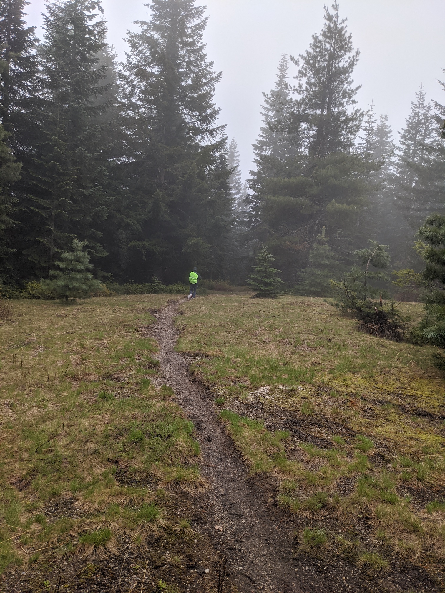
The trail up to Spencer Butte is open for hiking, as well as motorcycles. This means that for the majority of the trail there is a 6+ inch rut up the middle. It is not difficult, but does wear your hips out with walking in such a narrow rut, or trying to straddle the rut. From the trailhead it is just over 1.5 miles to the summit, with an elevation gain of 750 feet.
Once at the summit, you will find the remains of the fire lookout piers and some anchor cabling around in the trees. There is plenty of open space to activate, and a variety of trees to throw a line over, you can leave your mast in the car.
There are likely some good views from the summit, but on the day I was up there, it was cold, windy, and started to rain. The WX (and cold hiking partners) pushed me off the summit with only 2 completed activations, though I did also have some difficulties with the clock on my laptop as I was doing FT8.