This was summit 1 of a 2 First Activation day with Hat Rock W7W/LC-017
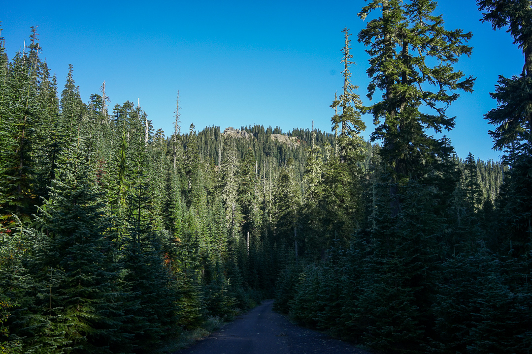
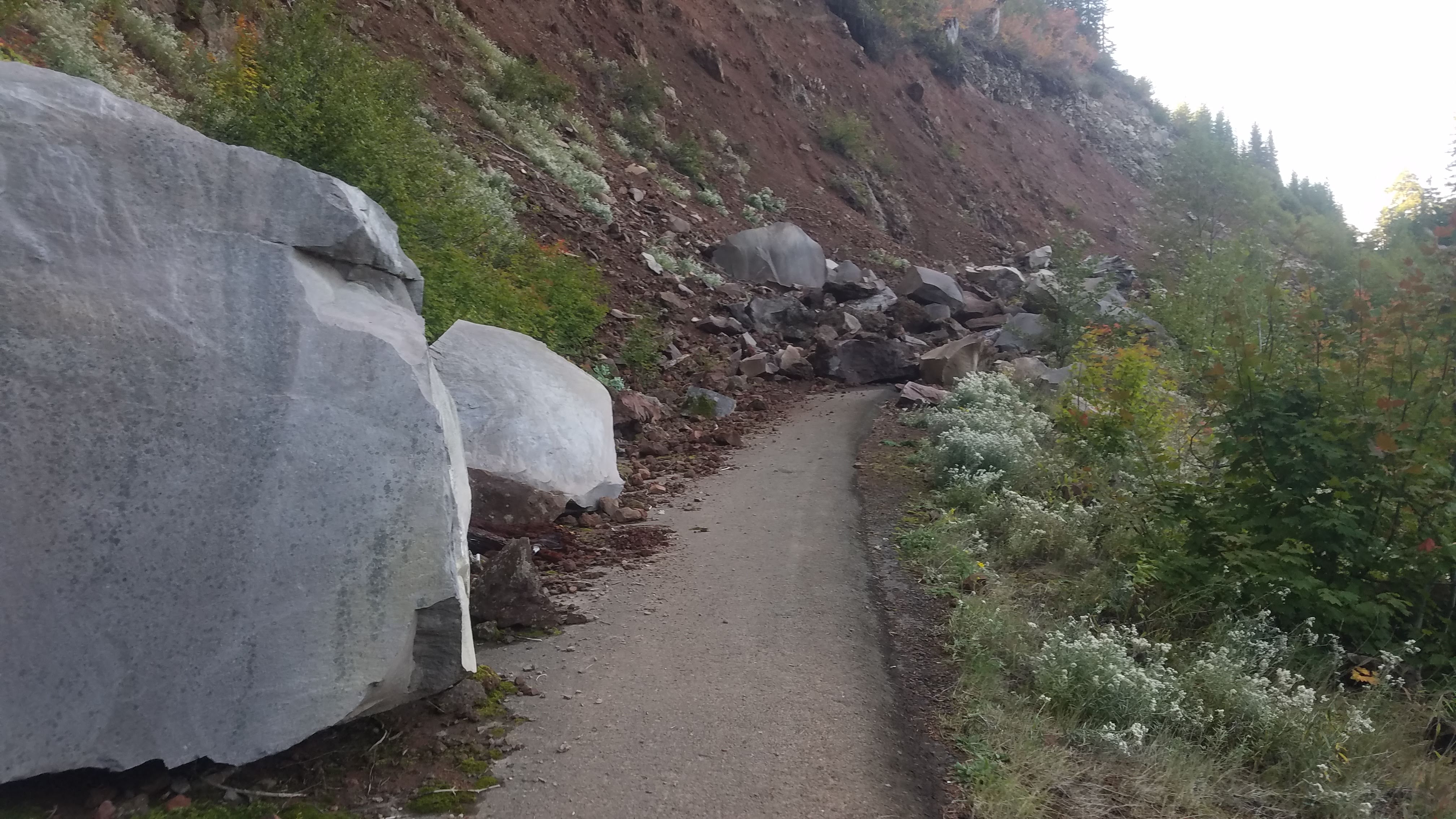
On the map, Snagtooth looks like a straight forward hike. I checked the forest service website and it looked like 46.23073, -121.82869. I parked here and followed the well worn trail across the mass wasting. After the slide it is three miles on mostly pristine pavement to the trailhead. I really wish I'd brought my bicycle because those three miles would have been quick work. Instead it added 45 minutes to the approach. NOTE: There were numerous cougar scat/droppings on the road. Keep your wits about you and consider doing this activation with a friend.
Once at the trailhead proper (46.24802, -121.81512), you may be tempted to dive into the brush like I did. If you take two seconds to look around you'll find where the motorcycle trail crosses the road and save yourself some minor bushwacking. The trail is steep and rutted in places. Really only motorcycle riders come out here I think. Overall it is not a bad trail. You'll pass a small waterfall and cross a stream.
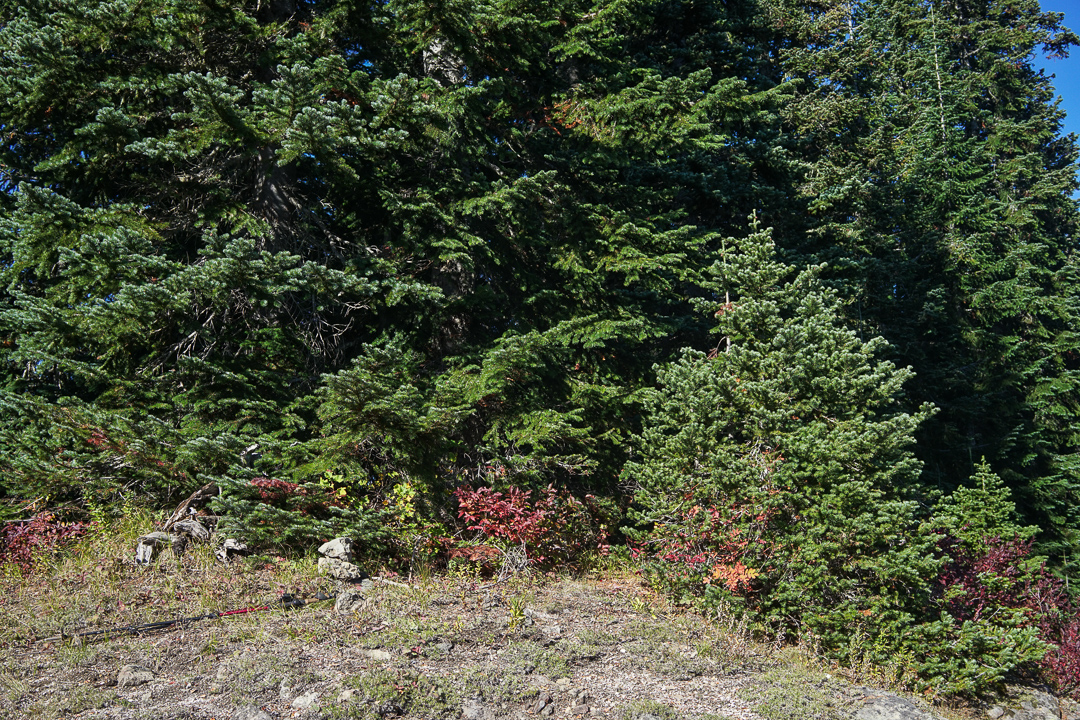
Once on the saddle, there is a spur trail that leads to the summit of Snagtooth Mountain. Follow it up and push through the brush until you find the small pile of rocks in a clearing that mark the summit.
There were a number of activators out in LC land this weekend. I got on VHF with a RUJP and quickly got 8 contacts including 3 S2S. K7AHR had already left her summit and was heading toward her next objective. I could see my next summit from here and could tell Hat Rock (W7W/LC-017) was going to be a difficult bush bash and take some careful navigating. With Snagtooth activated I decided to packup and head on.