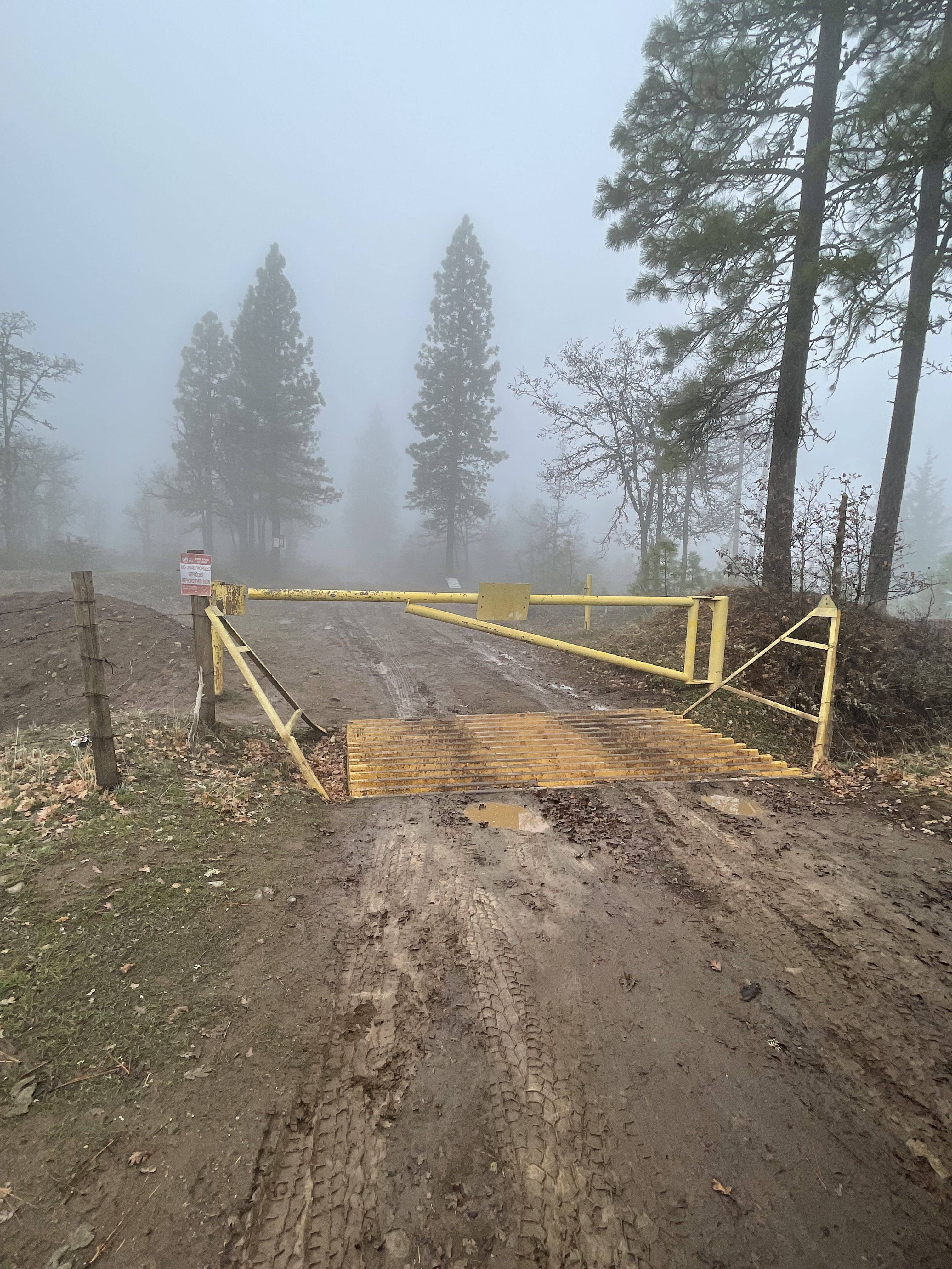
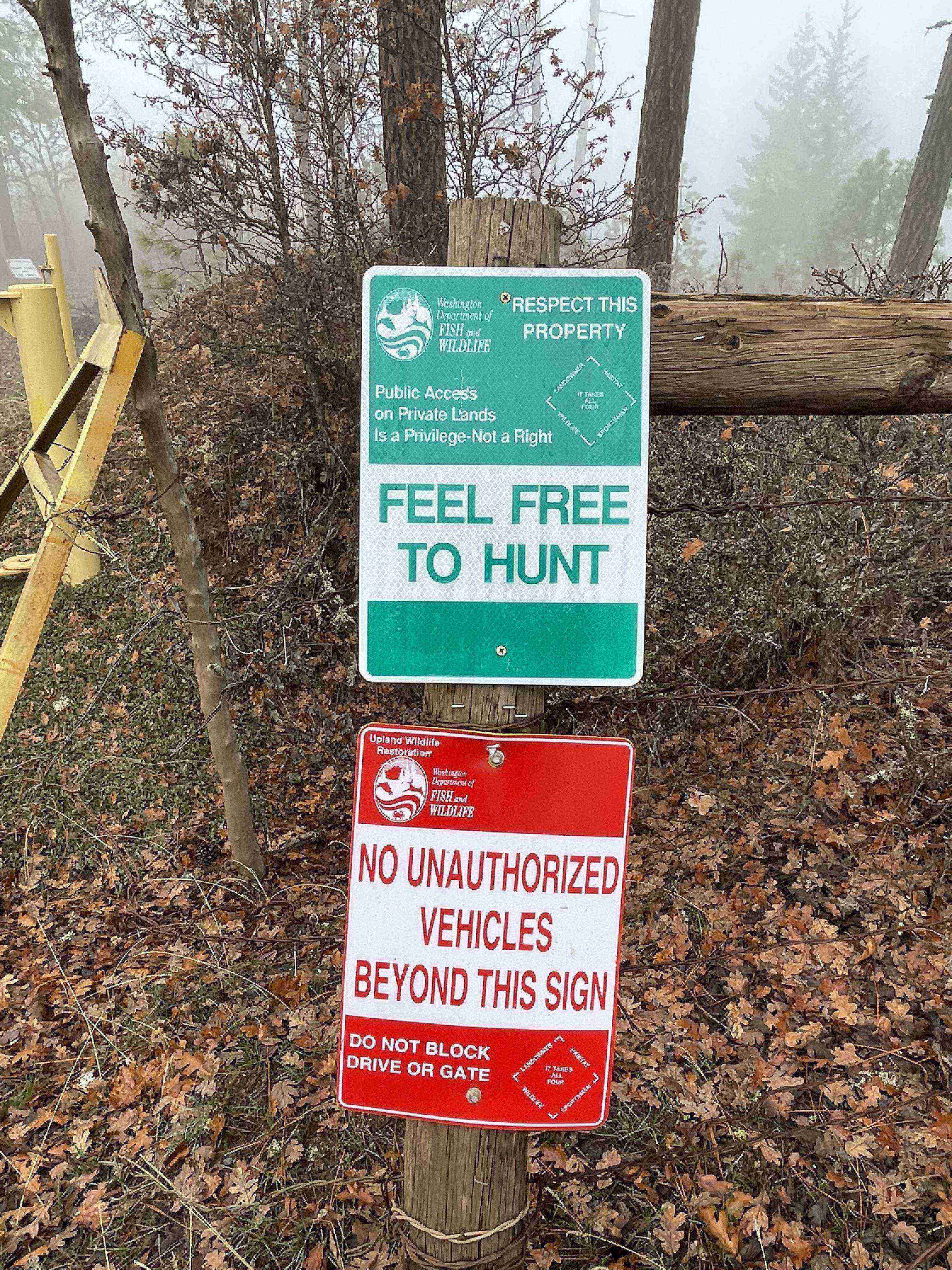
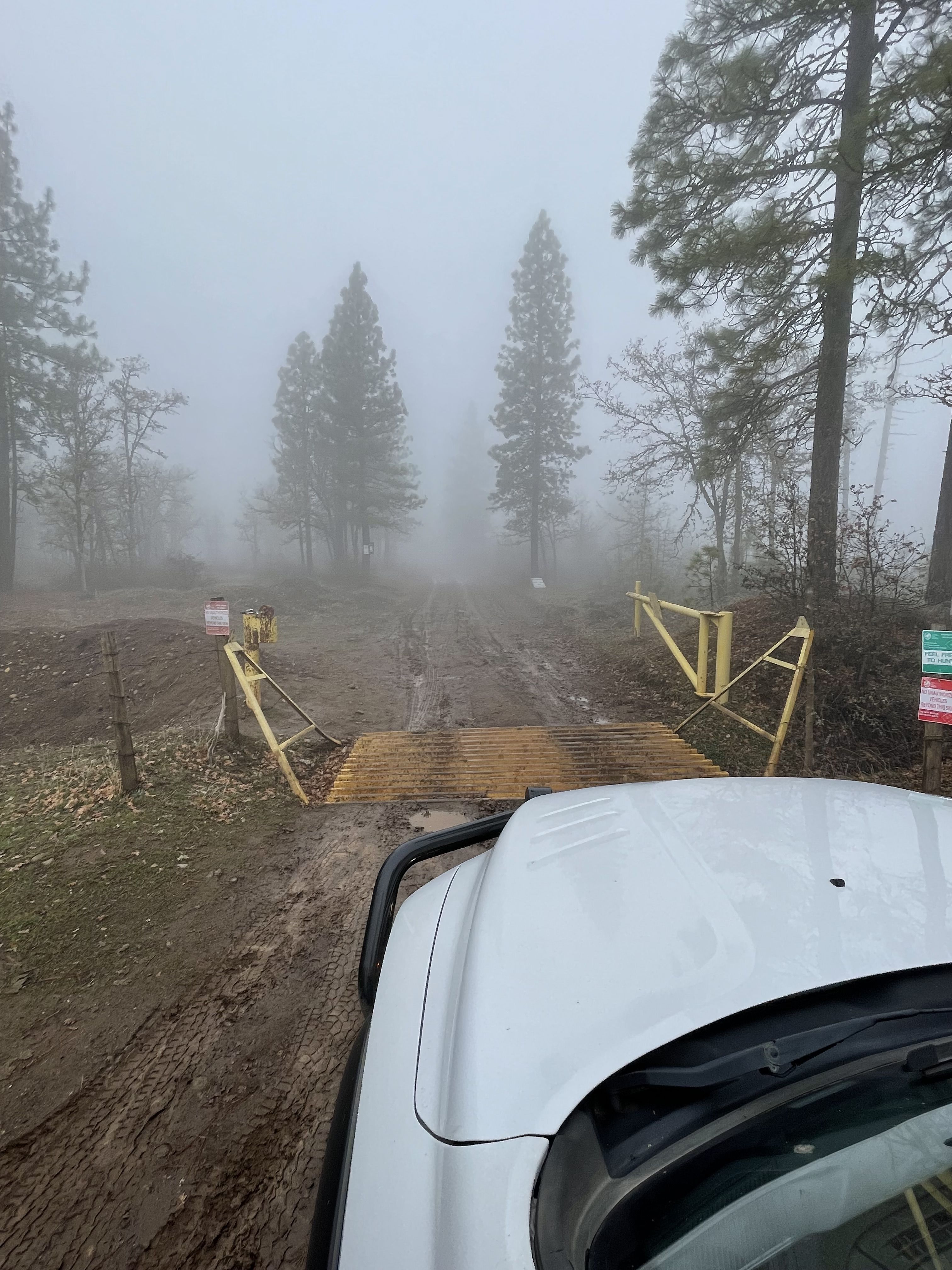
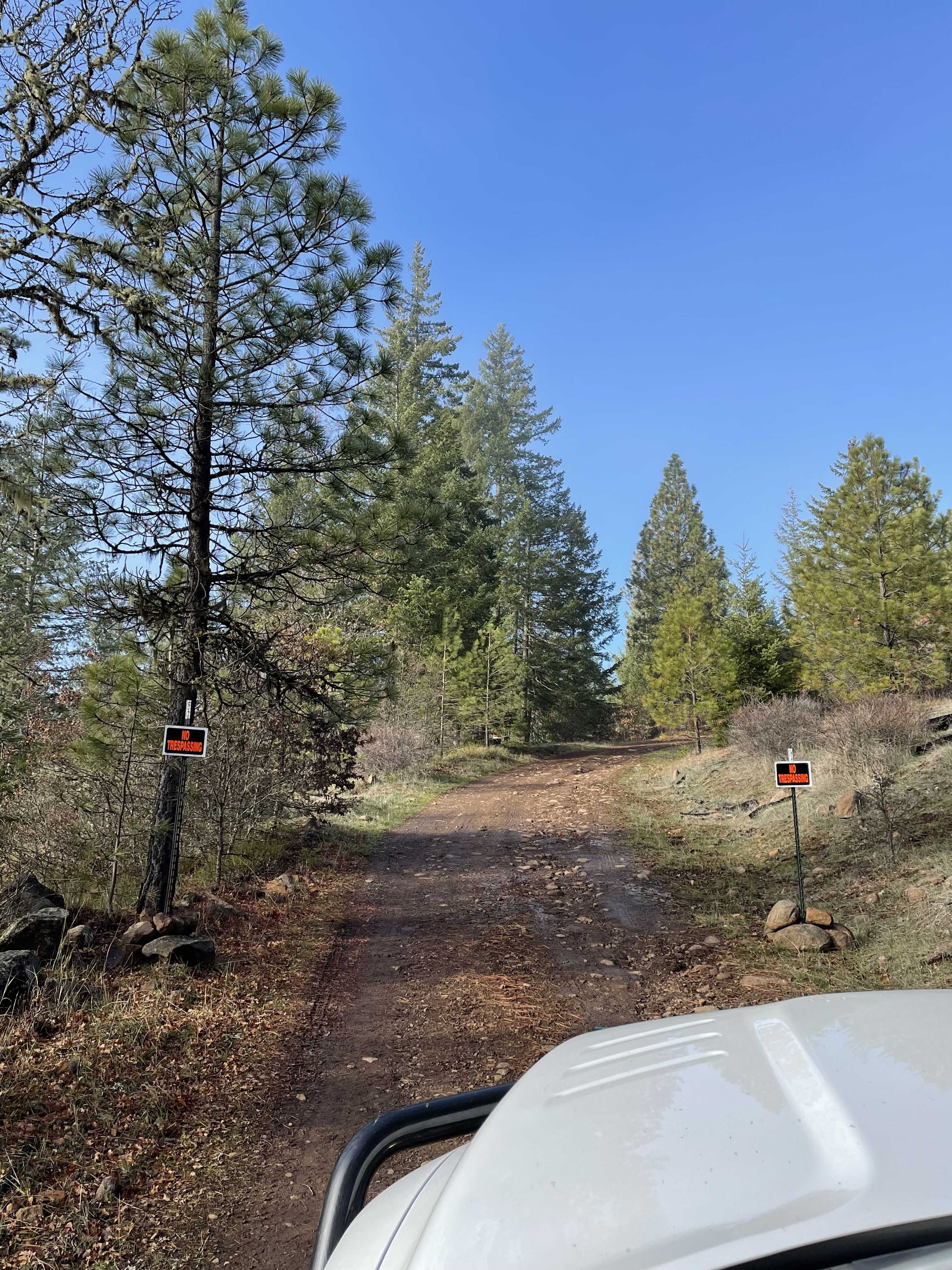
The recent Grayback Mountain WA pnwPOTA Blogs by K7ATN (11/03/2021) and KJ7EHA (04/12/2021) highlight the recent difficulties of gaining public access to the summit. In the past, Western Pacific Timber LLC (WPT), the State of Washington and the few private property owners didn’t restrict entry to walk-in visitors, horseback riders or hunters – just unauthorized motorized vehicles. Ironically the inviting “Feel Free to Hunt” come on in sign is still near the main gate. However, I noticed a pair of new No Trespassing signs approximately 1,500 feet from the main gate. These signs didn’t exist on my last trip a month ago.
Talking to an agent of WPT, access will forever change due to the sale of over 2,000 acres on the mountain. Prior to the recent sale, WPT owned nearly 64,000 acres on this single tree farm. Apparently WPT is in the process of selling all of their land in the area.
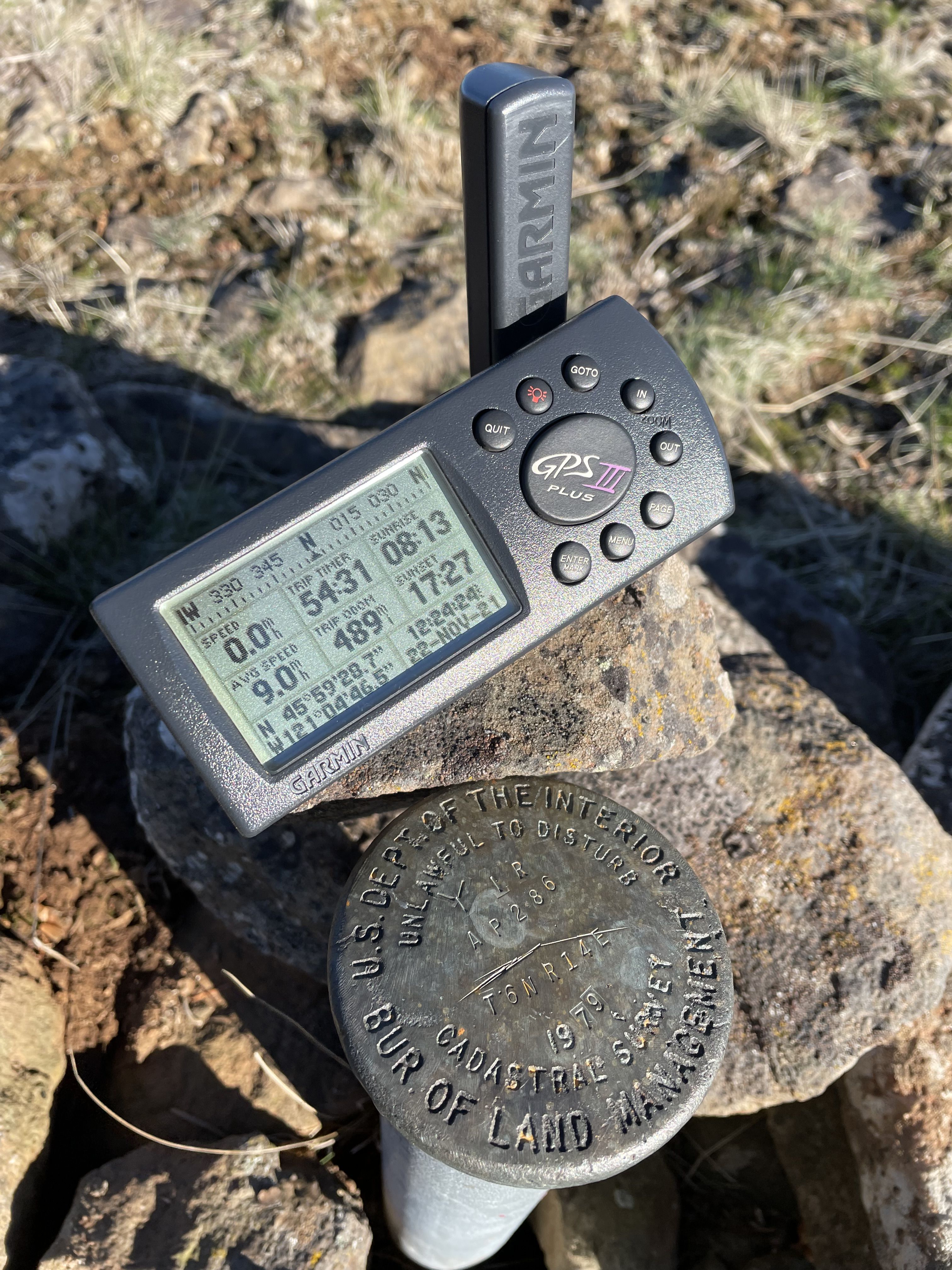
The summit of Grayback Mountain is located on State of Washington DNR land. It is surrounded by private timber land and Yakima Nation property. The property owners, WPT foresters, loggers and their agents, and the Klickitat County First Responders have gate keys and approvals to gain access. Radio site service personnel also have an easement to travel to Grayback Mountain.
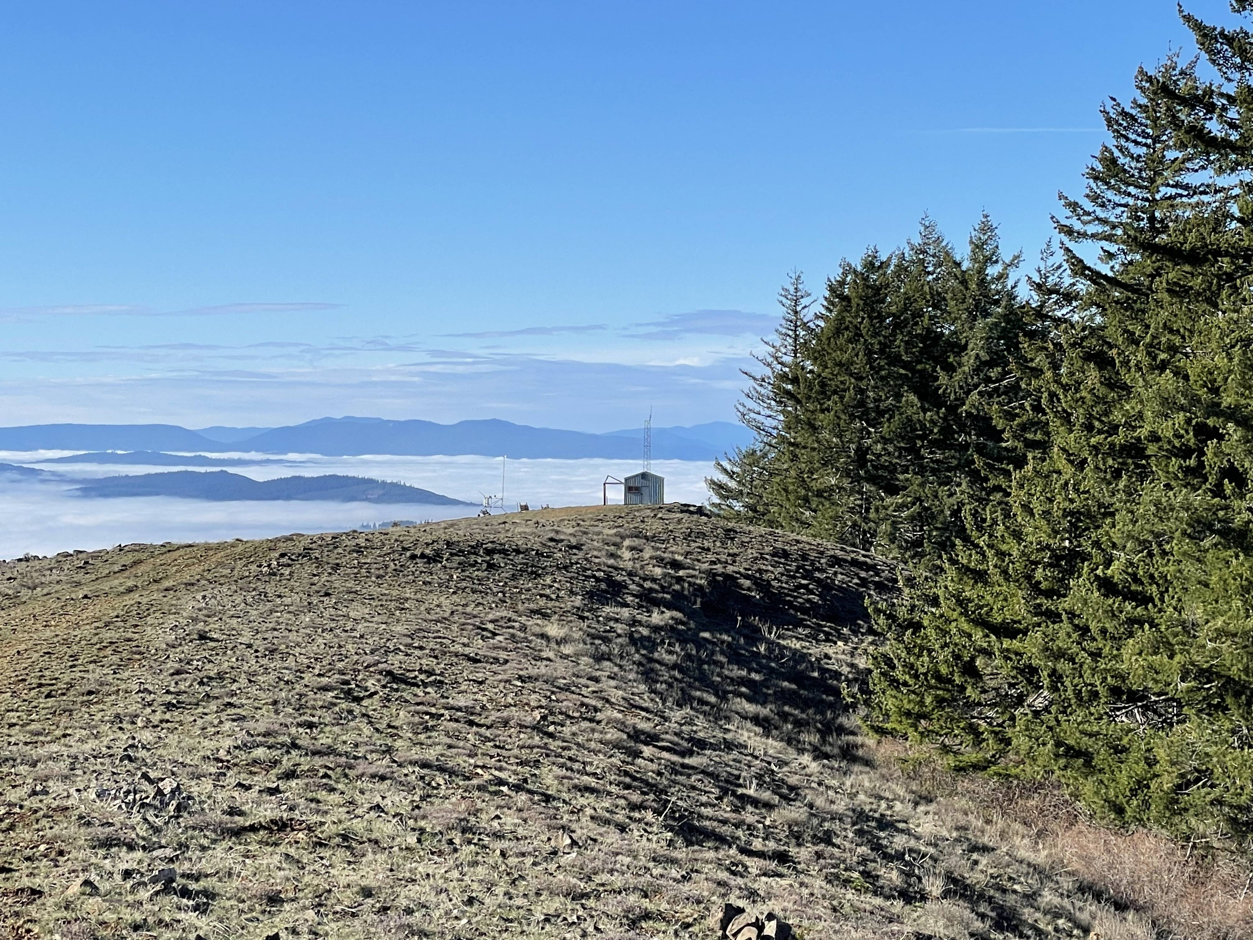
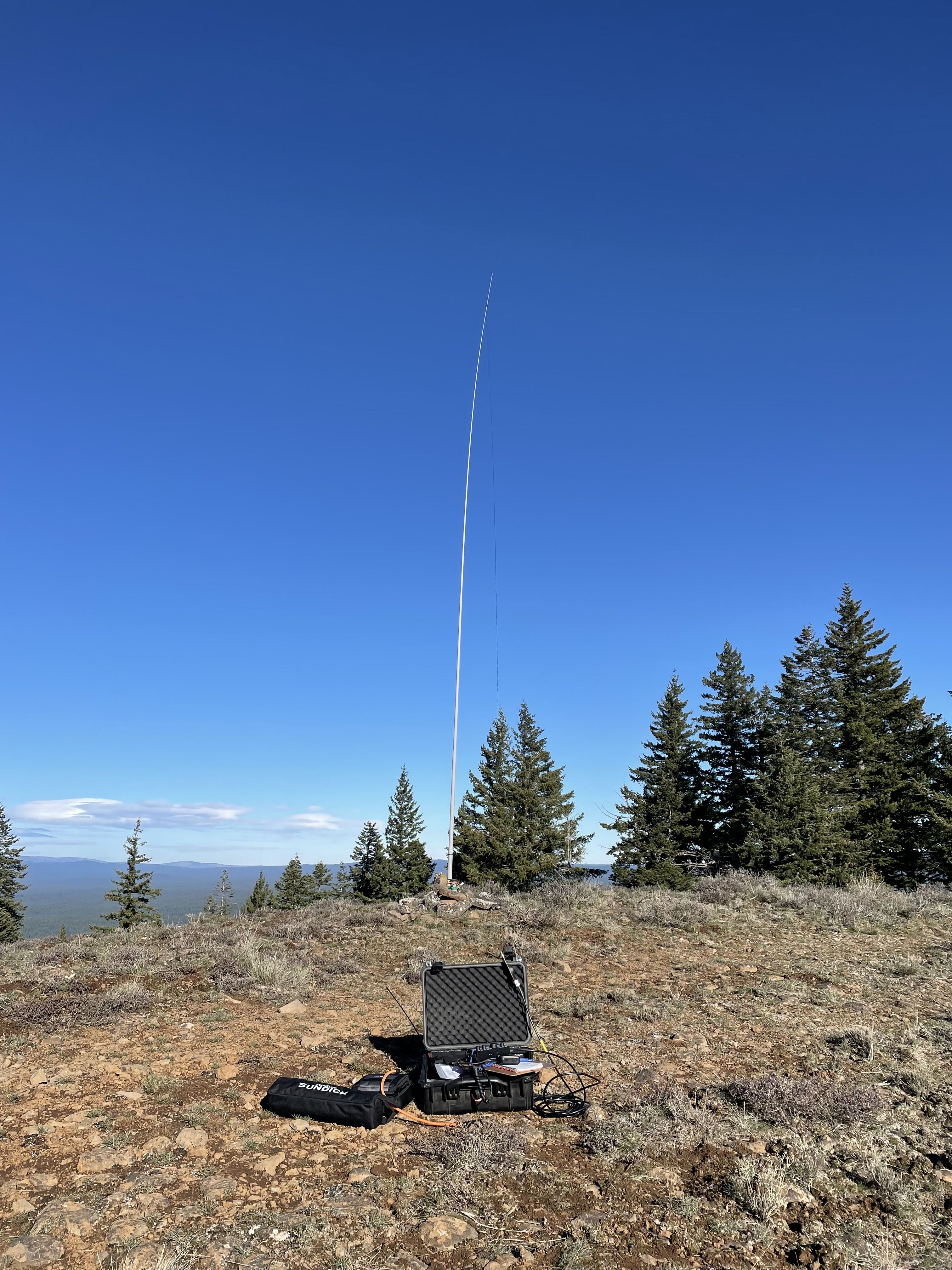
Partial public access is allowed from the Glenwood Highway to Grayback Road through DNR property to the locked yellow gate. Approved access would be required beyond the gate to the summit along the well-traveled Grayback Road. The overall distance from the paved highway to the summit is approximately 6 miles. The actual summit is a short 0.21 mile walk or drive from the nearby radio site on the western edge of Grayback Mountain.
An adventurous SOTA activator that is interested in going to Grayback Mountain may want to look at the Klickitat County online GIS maps, as there’s only one private property owner between some BLM land along the Glenwood Highway and the DNR Grayback Mountain property that leads to the summit. It seems to me it would be a whole lot easier to receive a single owner approval for access versus the dozen plus owners along the main Grayback Road. Expect a very steep climb to the top. A breathtaking view and hopefully good propagation will be your reward.