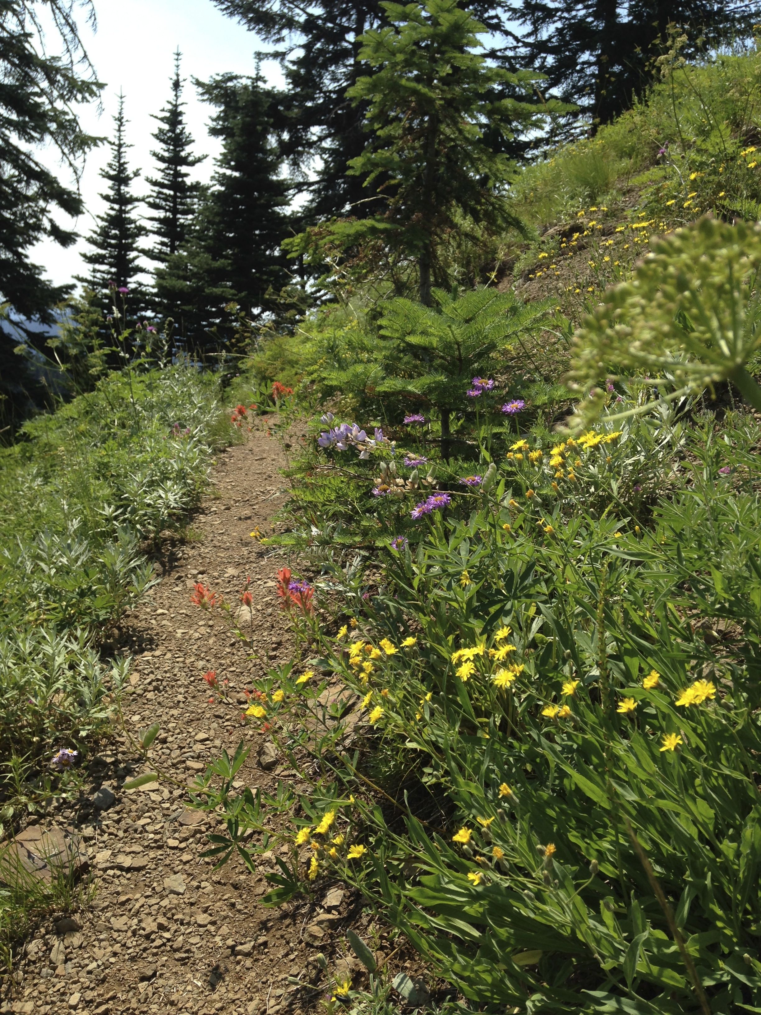
Browder Ridge is one of those hikes that you really don't want to tell anybody about. Its well known for its wildflowers and mentioned as an alternate to crowd-packed Iron Mountain/Cone Peak. Unlike the more popular Iron Mountain loop, Browder Ridge stays in bloom far into summer. It has a number of great views and dramatic old growth fir/hemlock/cedar forests. I was there in early August and there were an amazing number of flowers and blooming things.
Browser Ridge is most easily reached from the west side of the Cascades by taking US Hwy 20 East towards Santiam Junction. About 2 miles before the intersection with Hwy 126, turn right on FS 2672, which is also marked as Hackleman Creek Rd.
Take Hackleman Creek road to FS 1598 and go right. A few miles later, the road will take a sharp left turn where it goes over Gate Creek. The trailhead is where Gate Creek crosses the road and is clearly marked.
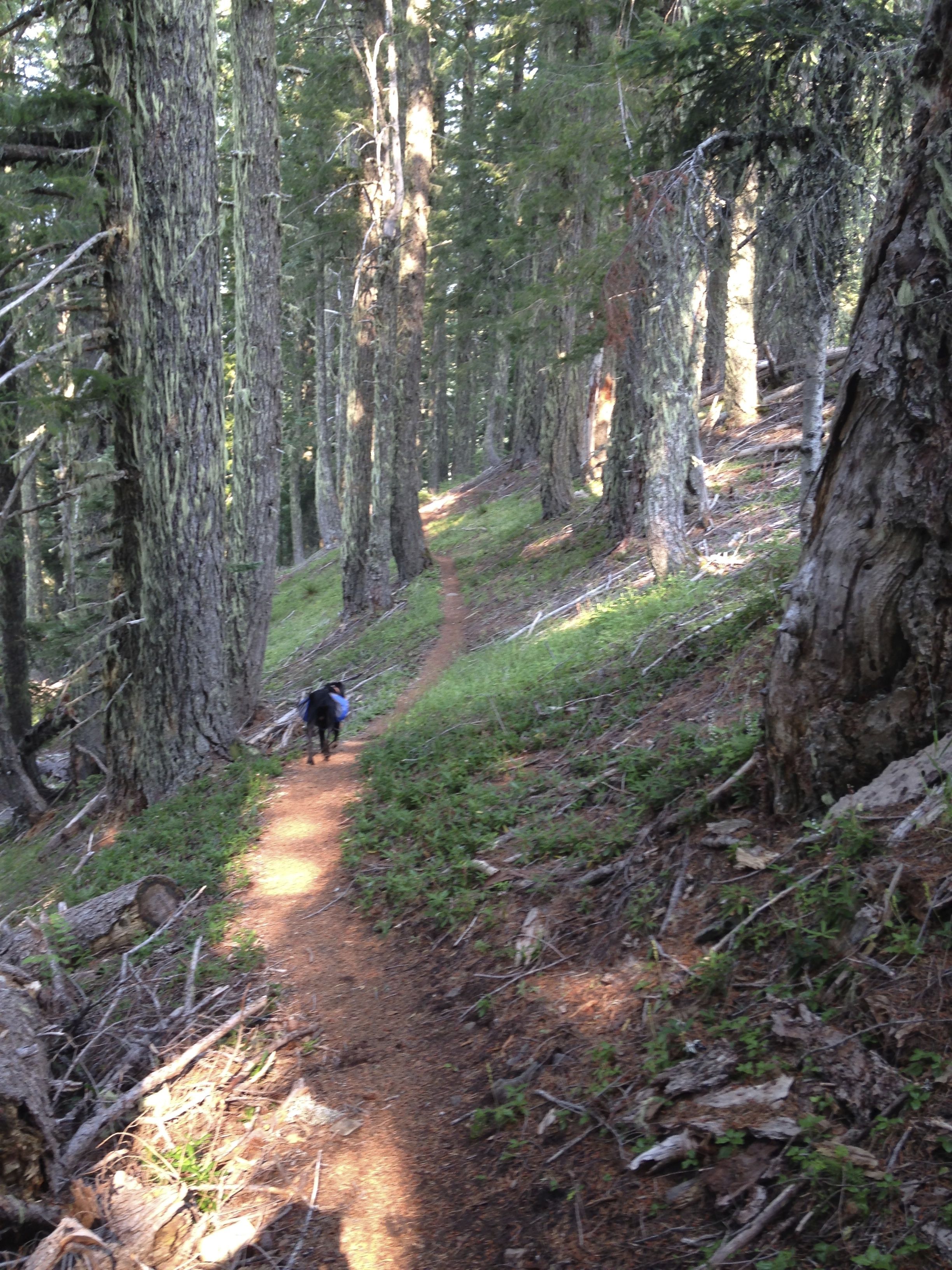
The Gate Creek trail ascends steeply for the first mile and then tapers off a bit. It then continues to ascend through alpine meadows and deep forest. After reaching the ridge crest, the trail continues at or near the ridge top for some time.
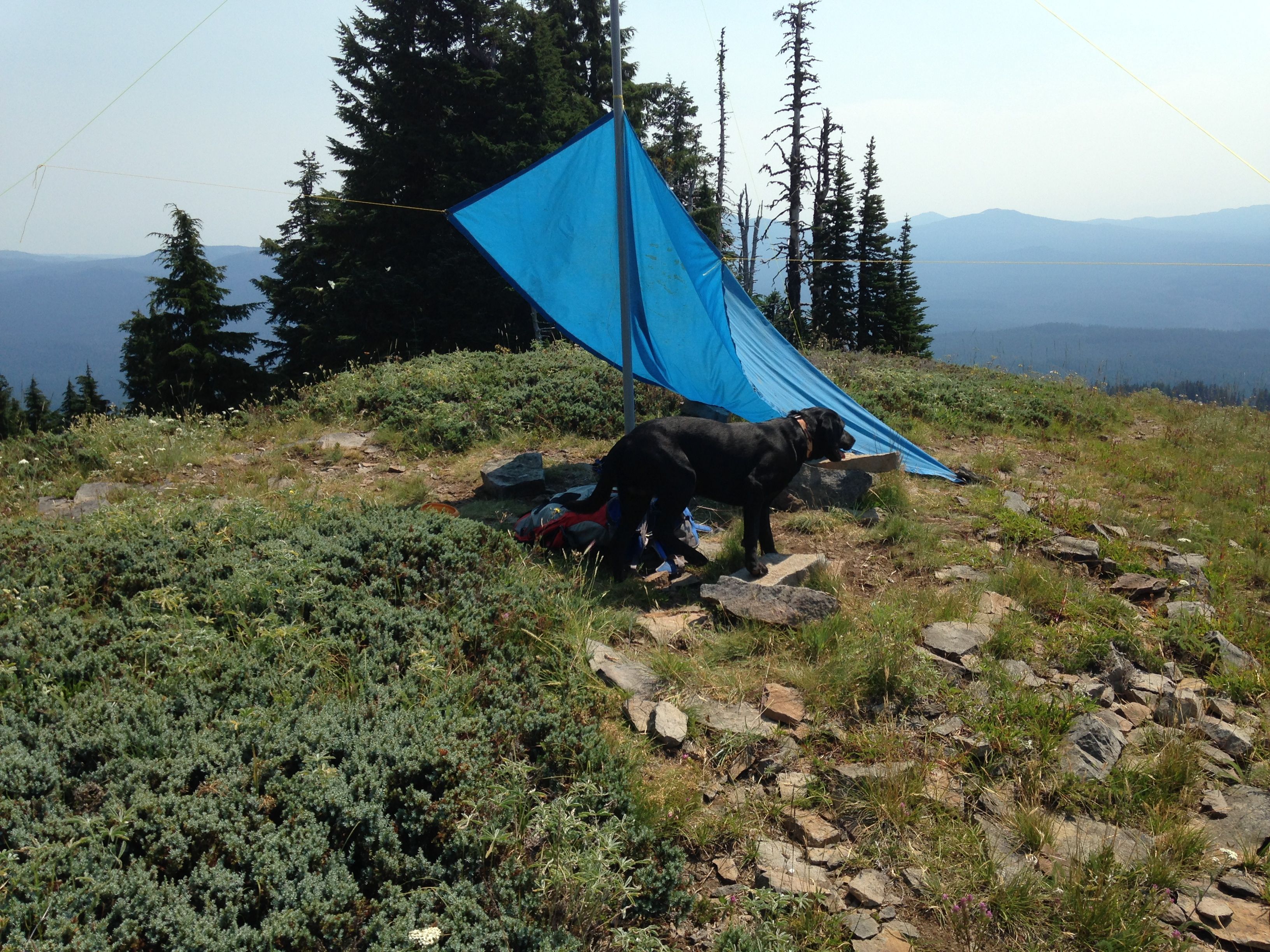
After intersecting trail #3409, you will go through a big meadow below a large rock face, then reenter the forest again. The point at which you reenter the forest is where you take a sharp left turn and travel cross country west for about a quarter of a mile, following the rocky edge of the ridge. A faint, narrow trail leads to a grassy opening at the summit. The summit is about 4.5 miles from the trailhead.
The summit is very nice, grassy with enough big rocks for antenna supports. The summit is open to all directions. Trees for antenna supports are about 150 ft from the summit.
On your way home, just before reaching Hwy 20 and crossing Hackleman Creek, pull off to the right and enjoy soaking your feet in the creek. Its a really nice cooling off spot. Browder Ridge is worth the 4 points. But, don't tell anybody else about it.
New information from 2021:
On the SOTA Atlas (https://sotl.as/map/coordinates/44.379426,-122.085180/14.0) there aren't enough topo lines to get to 5758 or 5780 feet where it shows the summit. It appears that the SOTA database is in error regarding the location of the peak - and someday it will be corrected to reflect this: https://listsofjohn.com/peak/82209. The way to the summit that I have described is correct.