Outerson Mountain is one of a trio of summits near Triangulation Peak located
just east of Detroit Oregon. Outerson Mountain, Timber Butte, and Triangulation Peak
are all within about 2 miles of each other and would be a good set of summits
to do in a day and more importantly, one car trip.
Outerson Mountain is reached by taking Oregon Hwy 22 east from Idanha. Just east
of Idanha, (MP 56.2) take NF2233 left. The turn here is also marked as "McCoy Park".
Mc Coy park is a popular motorized off-road vehicle recreational area. Follow NF2233
to Mc Coy shelter. You will not see the shelter though it is right off the road
nestled in the trees. The shelter is at the intersection of roads 812 (to Timber Butte)
and road 576.
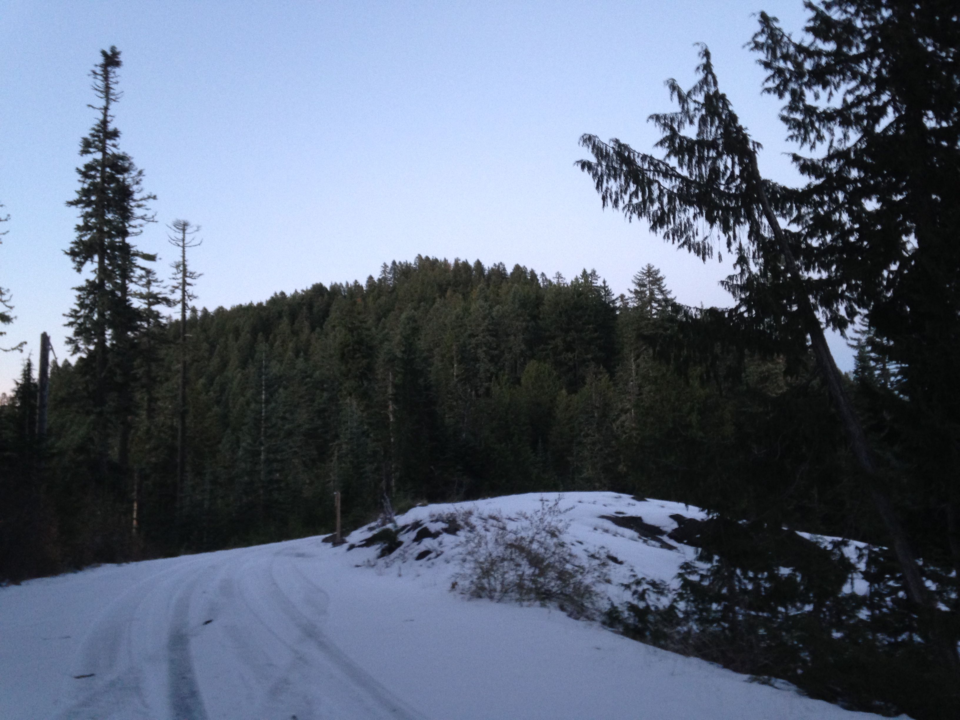
At the shelter, NF2233 takes a sharp right. Continue on NF2233 to the trailhead
for Triangulation Peak. Permits are required for entry here during the active
season. You can park here or continue up road NF2233 another quarter a mile or so
to park at the Outerson Mountain "trailhead". I encountered significant snow at
this point and thus parked at the Triangulation Peak trailhead. Passenger cars
can easily it up these roads.
From the trailhead parking, walk up NF2233 about 0.25 mile till you reach a slight
saddle in the ridge to your left. This is where the "trailhead" is or should be
according to the map. Current topo maps show a trail up the southwest ridge to the
summit. Don't believe it for a moment. Only occasionally did I find some traces
of a trail that must have existed at some time. It took considerable imagination!
Anyway, work your way up the southwest shoulder of Outerson mountain, staying
as near the spine as is reasonable. This is about a 400ft vertical climb. I did find
a few places where there was a thick steel wire along the "path" that maybe accompanied
a fence along the way at one time. Just follow the spine the best up to the rocky summit.
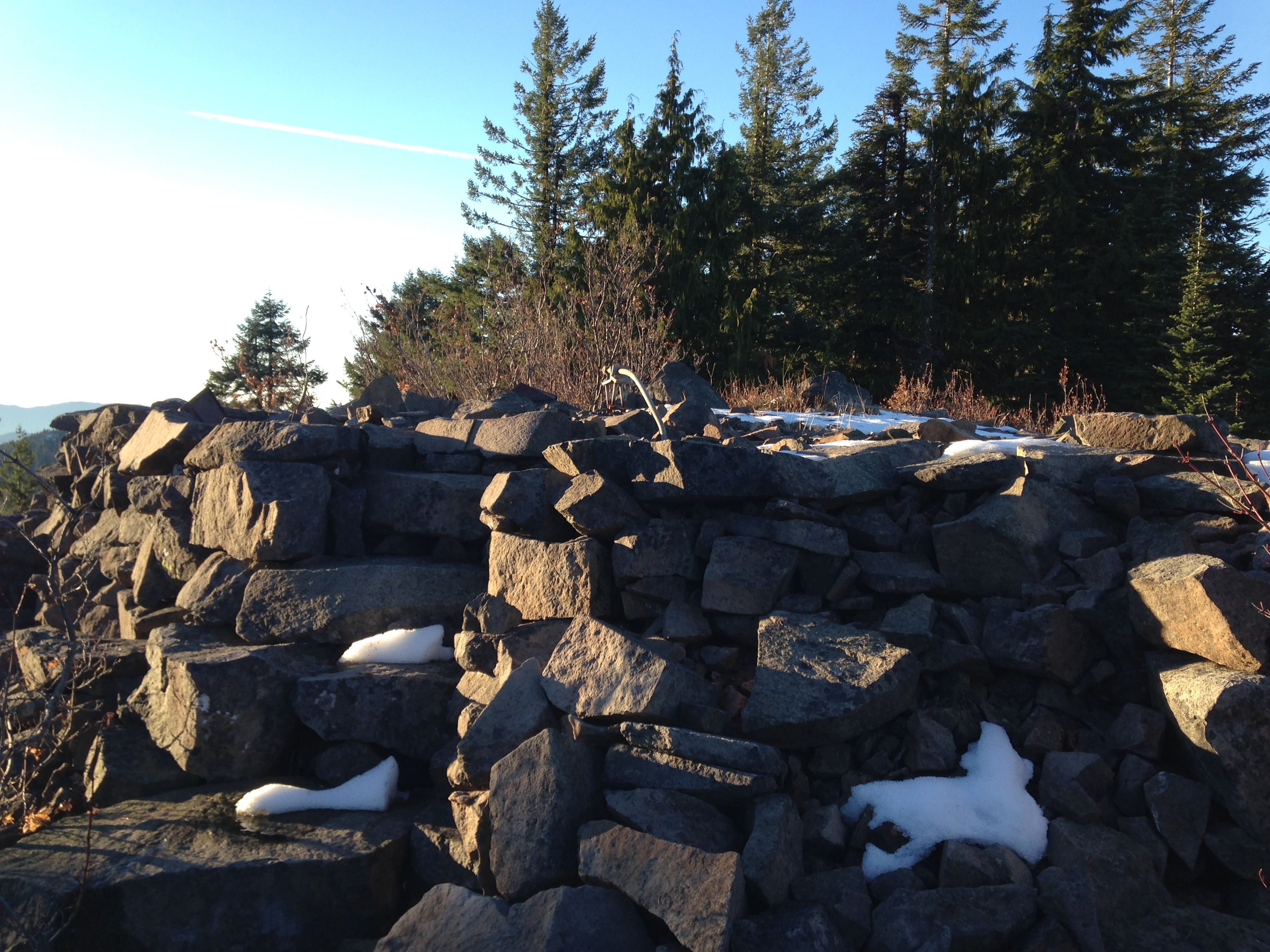
The summit itself is a nice clear area where a fire lookout must have stood. The rock
base of the lookout is still there along with the large metal foundation bolts. A once
nice rock staircase is still usable there. It took me about 30 minutes to attain the
summit from the Triangulation Peak parking area.
The summit has nice views in most directions including Mt. Jefferson and to the
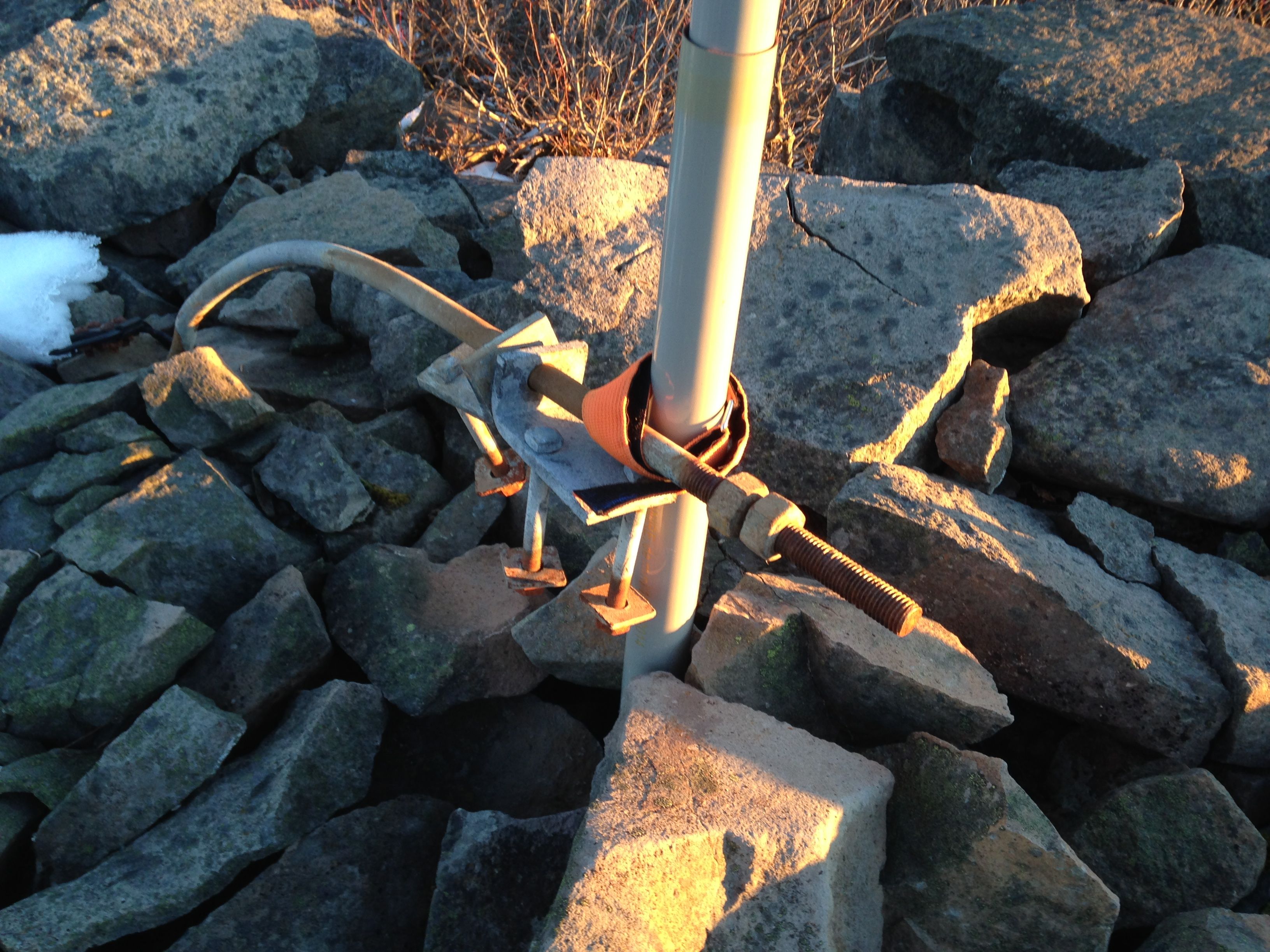
west. There are no trees except very scrubby ones near the summit. There is enough
rock and foundation hardware left to strap a vertical pole to. I stuffed my SOTA pole
into a crevice in the rocks and strapped it to a foundation bolt. Worked great.
The eastern spine of Outerson mountain may be an easier route after looking at the
map a bit more. Since there is no trail on the southwest side, the eastern approach
may be even better as it looks slightly less steep.
This was the third summit of a late fall day. I left the Outerson summit at 4:30pm
with darkness rapidly falling. The trail back down was as "fun" as the one I took up.
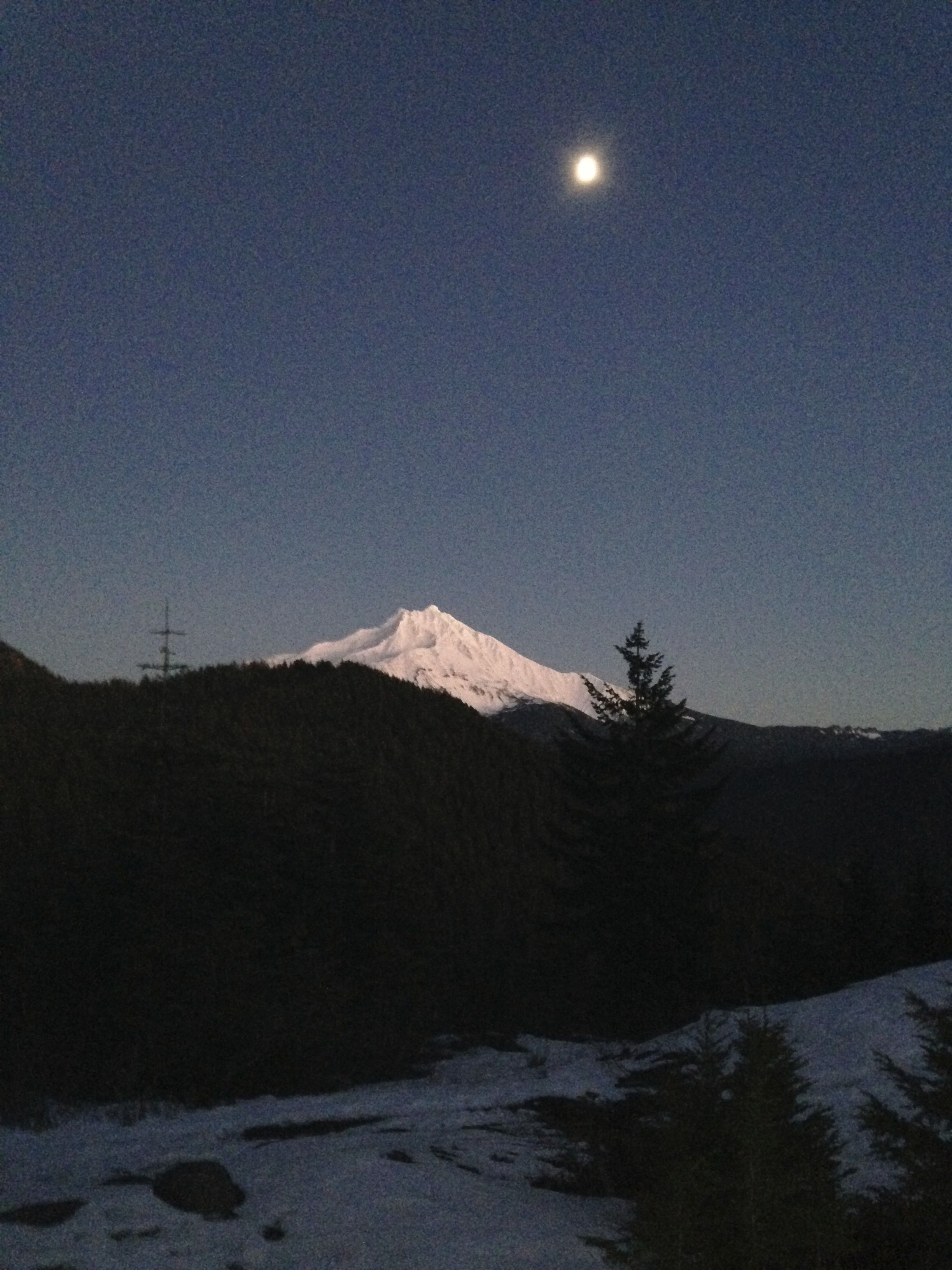
Most likely because I took two differing routes! Once back to the saddle, I was
rewarded with a wonderful view of Mt. Jefferson with the moon rising above. I only
wish I had a good camera instead of my camera phone. It was a beautiful close to a
long day in the mountains. I am so thankful to be a traveler in such places and times.