Woodpecker Hill is one of a cluster of four point peaks directly off of Oregon
Hwy 22 near the town of Detroit Oregon. Travel Oregon Hwy 22 east past Detroit
just about to milepost 62. Turn left onto NF-040 and travel for 4.8 miles till you
meet RD035 which turns off to the left. Go up RD035 for maybe a hundred yards
till you find a good wide place in the road to park.
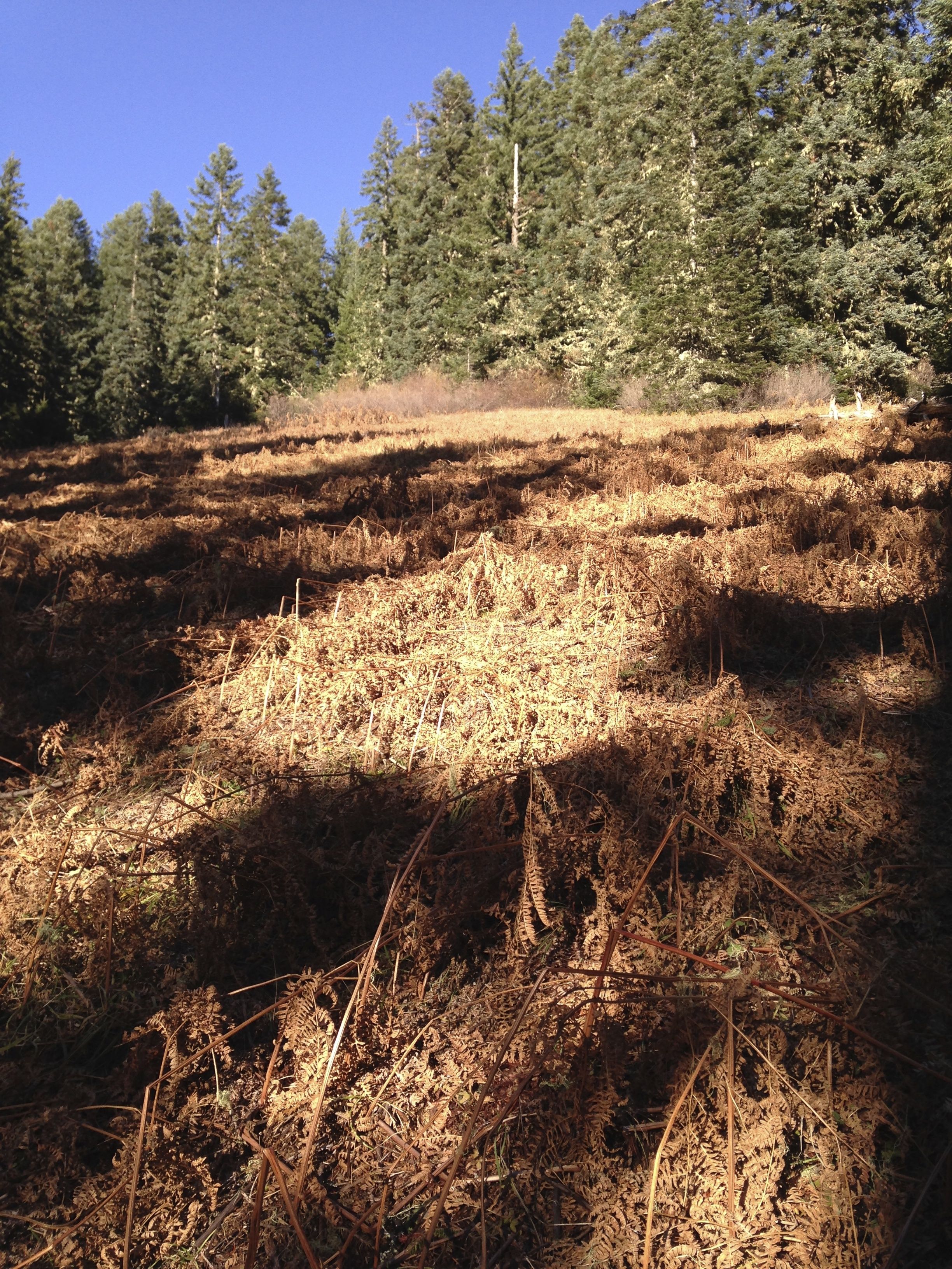
On current topo maps, looking at the southern slope of Woodpecker Hill, you will
see a lower altitude teardrop-shaped open area with another oblong shaped open
area above it. I strongly suggest proceeding directly north from RD035 utilizing these
clear areas to ascend the slope. You have about 600 vertical feet of altitude to gain
in a short distance. The open meadows are far better than the deep forest for
ascending. It took about 35 minutes from RD035 to the summit.
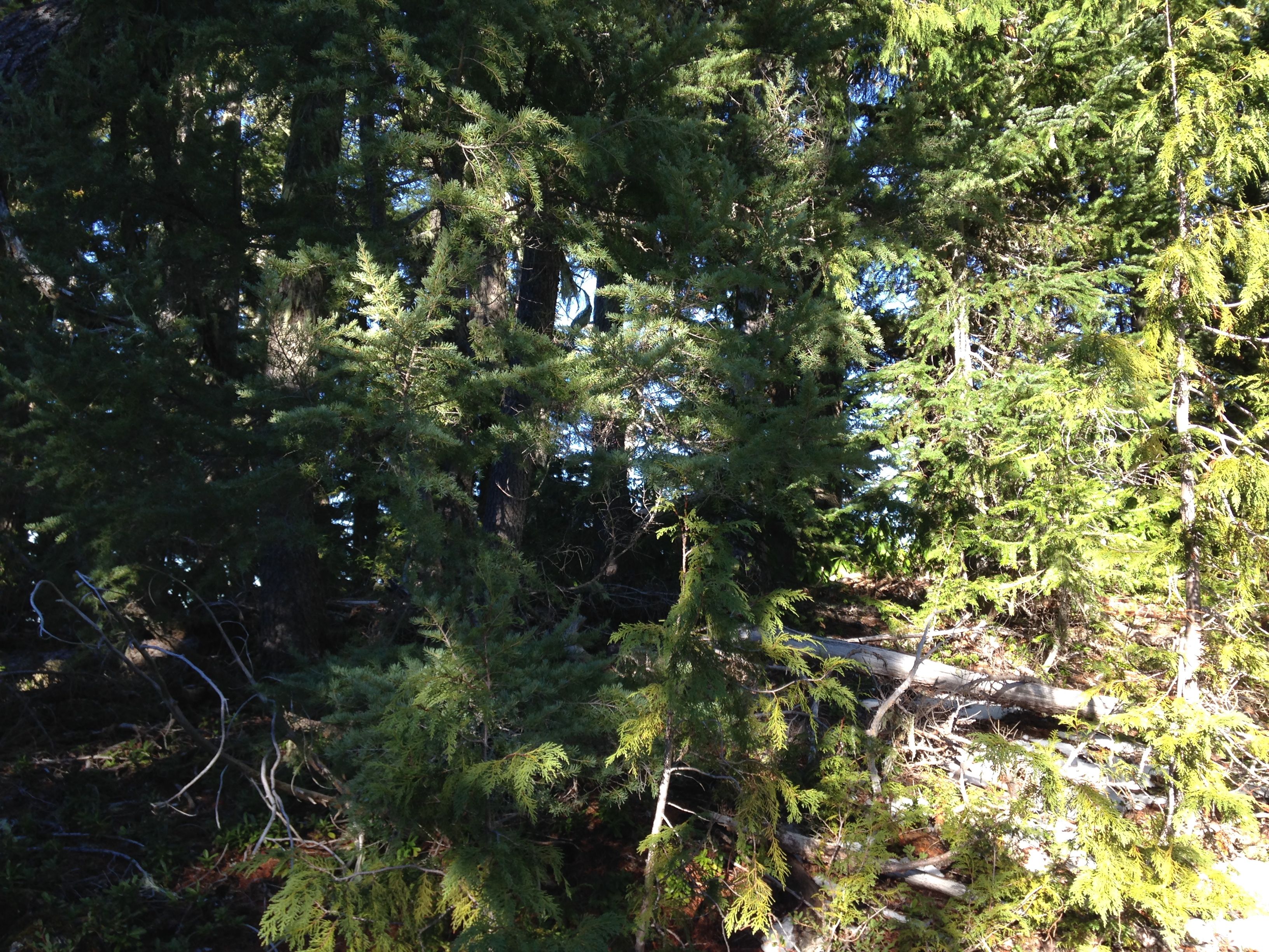
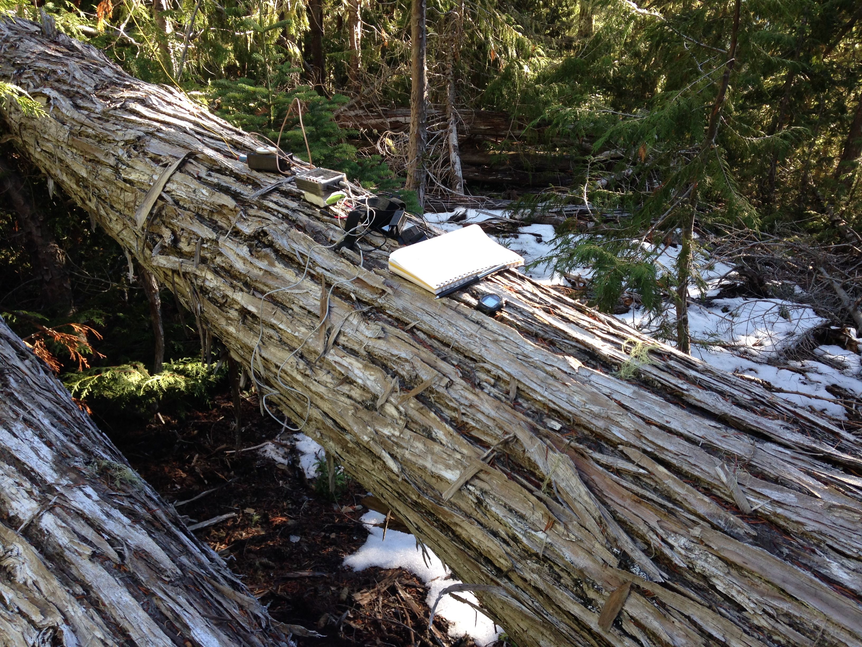
The summit is a tangle of downed trees and some pretty cool specimens of western
red cedar. Otherwise, there is nothing to recommend it. No views here and no cell
coverage either. However, there were two downed cedars that together made the best
seat and table setup I've ever had in the field. There are plenty of trees for
dipoles and a few scrawny ones to strap a EFHW onto.
Not much else to say about this summit. The meadows were pretty to walk through.
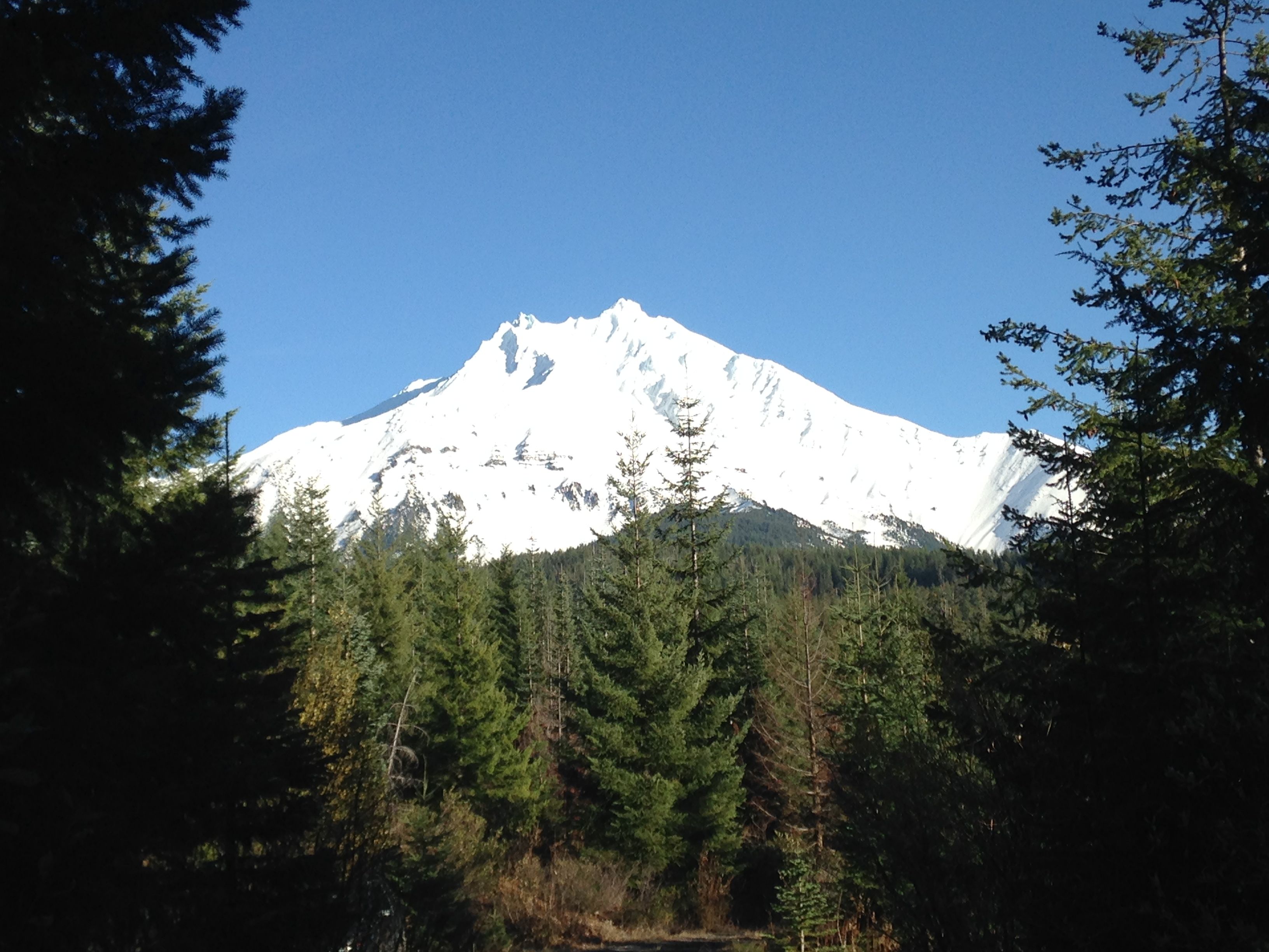
There are some views of Mt. Jefferson from RD035 that were amazing. Still, its
fun to navigate and summit these obscure NW peaks.
~