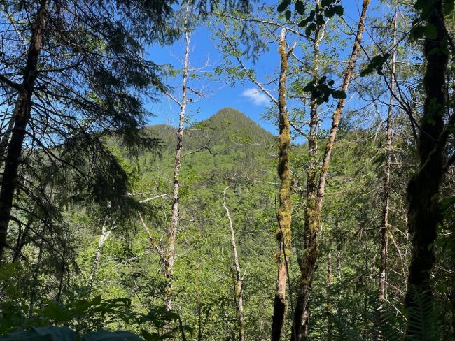
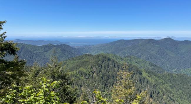
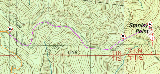
Stanley Peak is a 1 pointer inland from Tillamook, Oregon. The access route weaves across Tillamook State Forest and BLM land, but the peak itself actually sits on the BLM section. It's a lot of work for one point but includes a little point that pops above the trees, giving a lovely view of the bay and ocean.
Paved road driving: about 70 miles (from "Portland")
Gravel road driving: 5 miles
Hiking: 1.5 miles, 1000' gain (including final ascent)
Final ascent climb/bushwhack: 1000' run, 600' gain
Driving route:
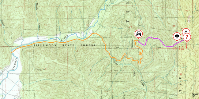
- Start by using your mapping tool of choice to get to the location "Kilchis River Rd & Kilchis Forest Rd, Tillamook, Oregon, United States". This is the turnoff from paved road to gravel, North of Tillamook proper and about 2 miles off Hwy 101.
- After 2 miles on Kilchis Forest Rd, turn right onto Clear Creek Rd (45.52543, -123.79139)
- After 1 mile fork left (45.51649, -123.77941)
- After about 1.7 miles, turn right (45.52345, -123.77124)
- The road starts to get gnarly and narrow pretty quickly, most vehicles will want to park within the first quarter mile of this road (suggested around 45.52315, -123.76932)
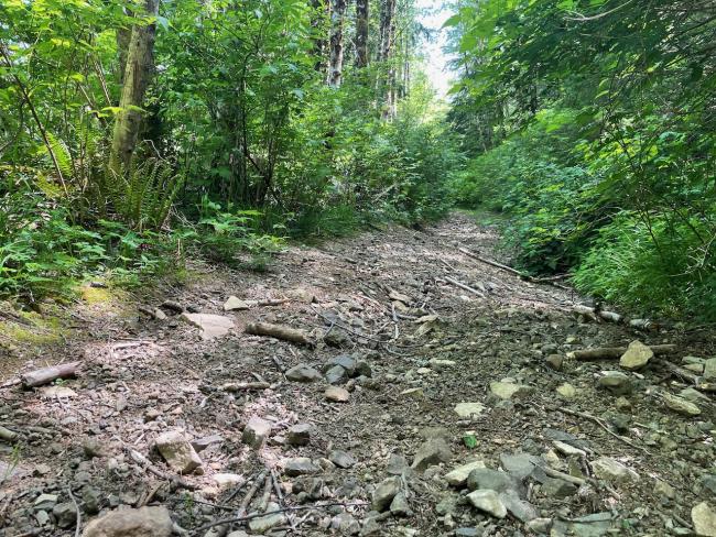
The hike follows the "main" road, such as it is, for a little over a mile. Proceed straight through the intersection 1/4 mile along (this is also your last chance to turn around if you drove that far, it's only worse past there), and begin bushwhacking after about a mile at 45.52251, -123.75134. This hike is short but technically bikeable, in the mountainbike style as a dilapidated Jeep track. It gets a bit rocky in some spots.
The bushwhack ascent is moderate to strenuous, but the ground cover is fairly open and paths are easy to reckon. At about 2150' elevation (45.52351, -123.74844), you may start to see a rock face ahead. I suggest traversing left/north at this point, before you reach the rock face and things get weird. I traversed right/southeast against the rock face and it made for an extremely steep final approach later. On the way down I found the north path was much better. Coming around the rock face and ascending will put you into a saddle which is within the AZ (45.52370, -123.74724). This is where I setup and operated. To the southeast of the saddle is a rock point that offers just enough purchase to climb up and get a view out from over the trees into the bay and ocean. The true summit is northwest of the saddle.
When I originally plotted a track, I considered continuing on the road around the bend another 1/4 mile and beginning the bushwhack at (45.52077, -123.74696). This makes some of the climb easier some of the elevation gain will happen in the open road instead of bushwhacking, and only about 300' of gain remains. Looking at LIDAR I'm not sure that path will work, it seems like there might be some more rock faces along that approach. Might be worth scouting though.


