Take exit 233 off of I-5 and head east on US 20. In 5.4 miles, turn left onto Hwy 226. In another 9.2 miles, go right onto 226 toward Lyons. In another 8.8 miles, stay right on the Lyons-Albany Highway. Go 5.6 miles and stay left on 226. Cross the river and turn right onto US 22 at 1.2 miles (toward Mill City).
Stay on US 22 for 14.6 miles to Niagara Heights Road. If you get to the turn to Niagara Park, you went 0.1 miles too far. Turn left onto Niagara Heights Rd.
Conversely, from the North, you can take exit 253 onto US 22. Then follow US 22 for 36.1 miles to Niagara Heights Rd.
Ignore the private driveways in the first quarter of a mile or so and head up the gravel road into the state forest. This road is steep and rocky in places. It is close to the limits for a street passenger car. At junctions, always stay on the main track following the signs to Rocky Top and Natural Rock Arch trails.
The Natural Rock Arch trail head is at the 6.2 mile point. Take a hard left uphill at this point toward Rocky Top. At 8.1 miles, you reach the Rocky Top trail head, with parking, up a small rise. Park here and head up the trail.
It is 700’ of elevation rise over about 0.5 miles of trail. The trail is steep and rocky in places.
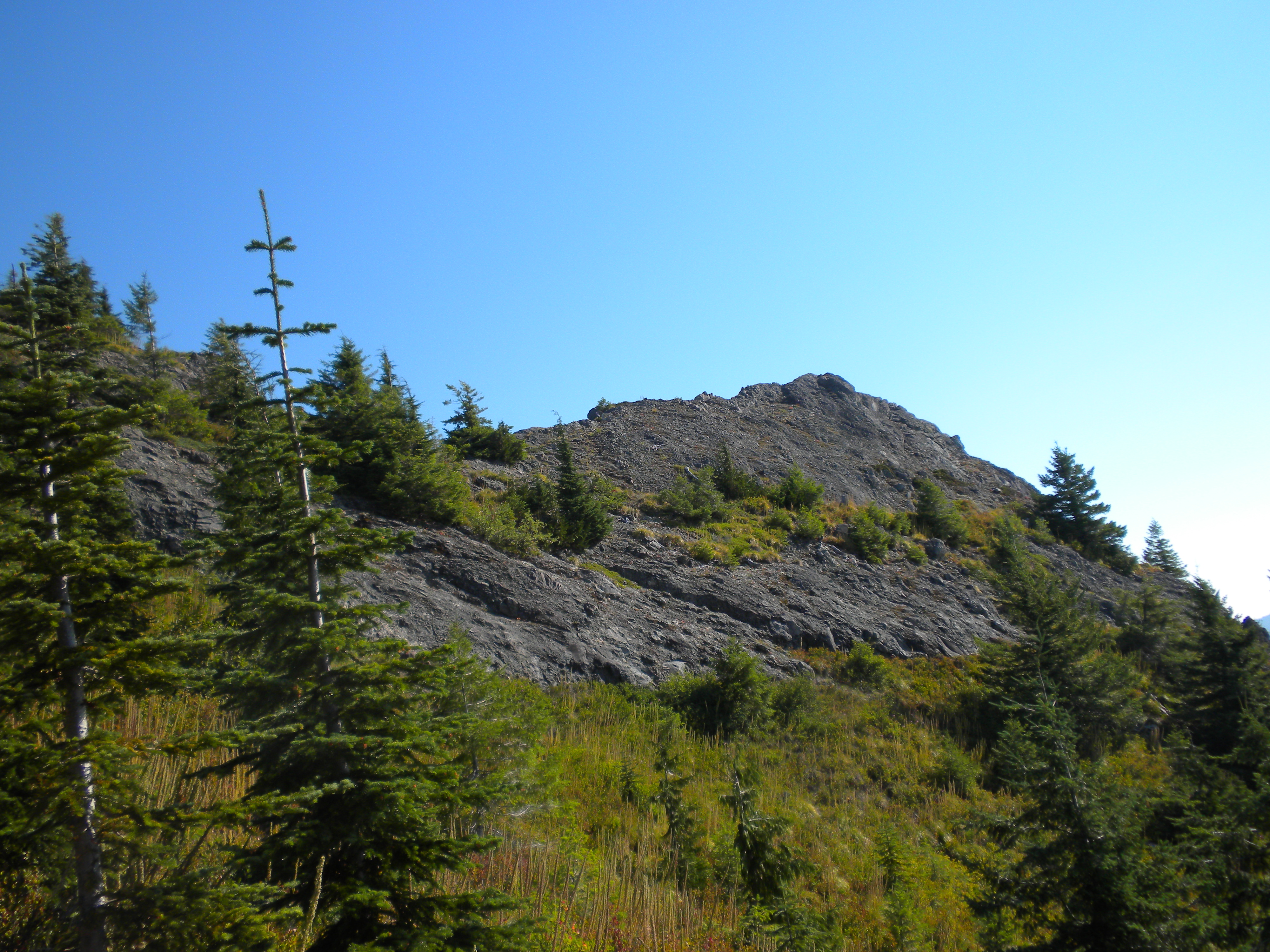
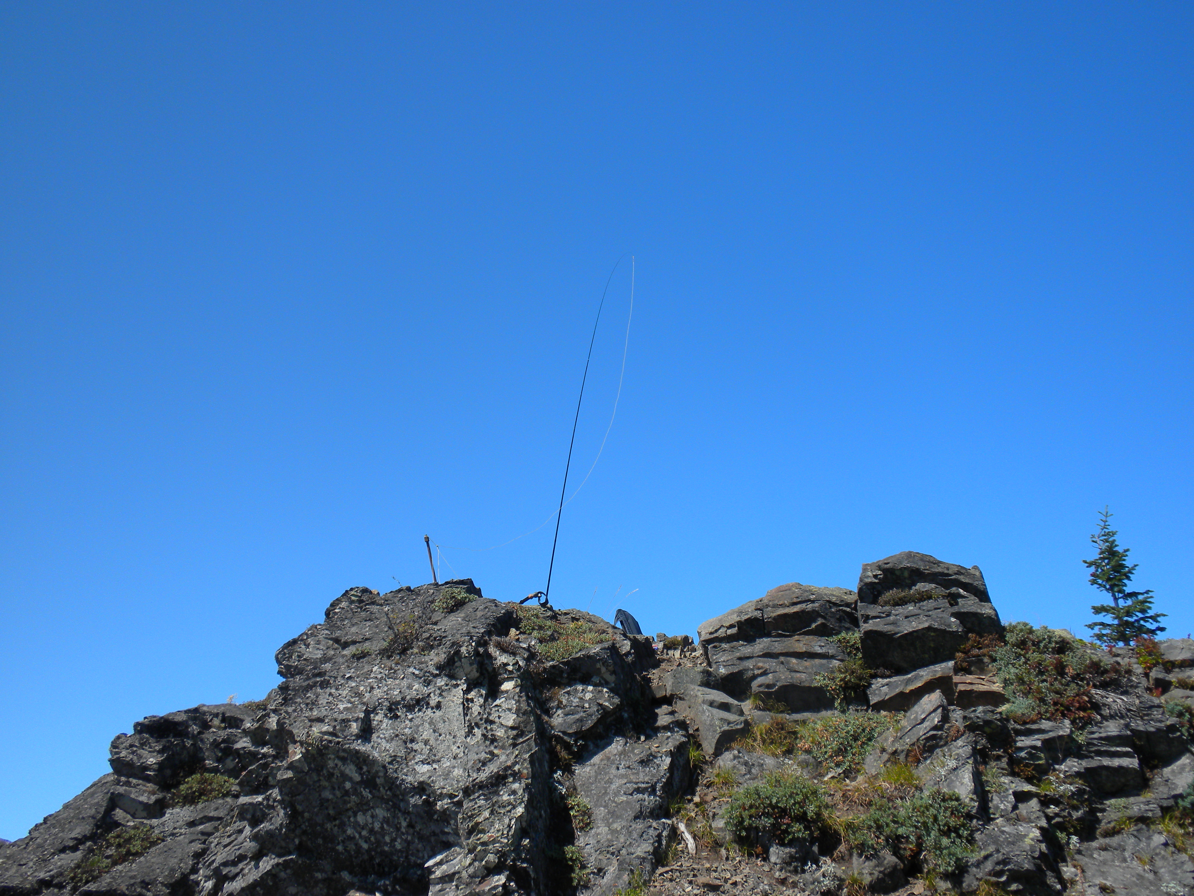
The summit is a small outcrop bordered by steep shoulders with small trees down from the summit. The trees can be used for antennas. There are old large bolts left over from a lookout in the past that stand up on the summit. These are convenient for lashing a mast or vertical antenna. There is no shade on top, but trees slightly down slope offer some cover.
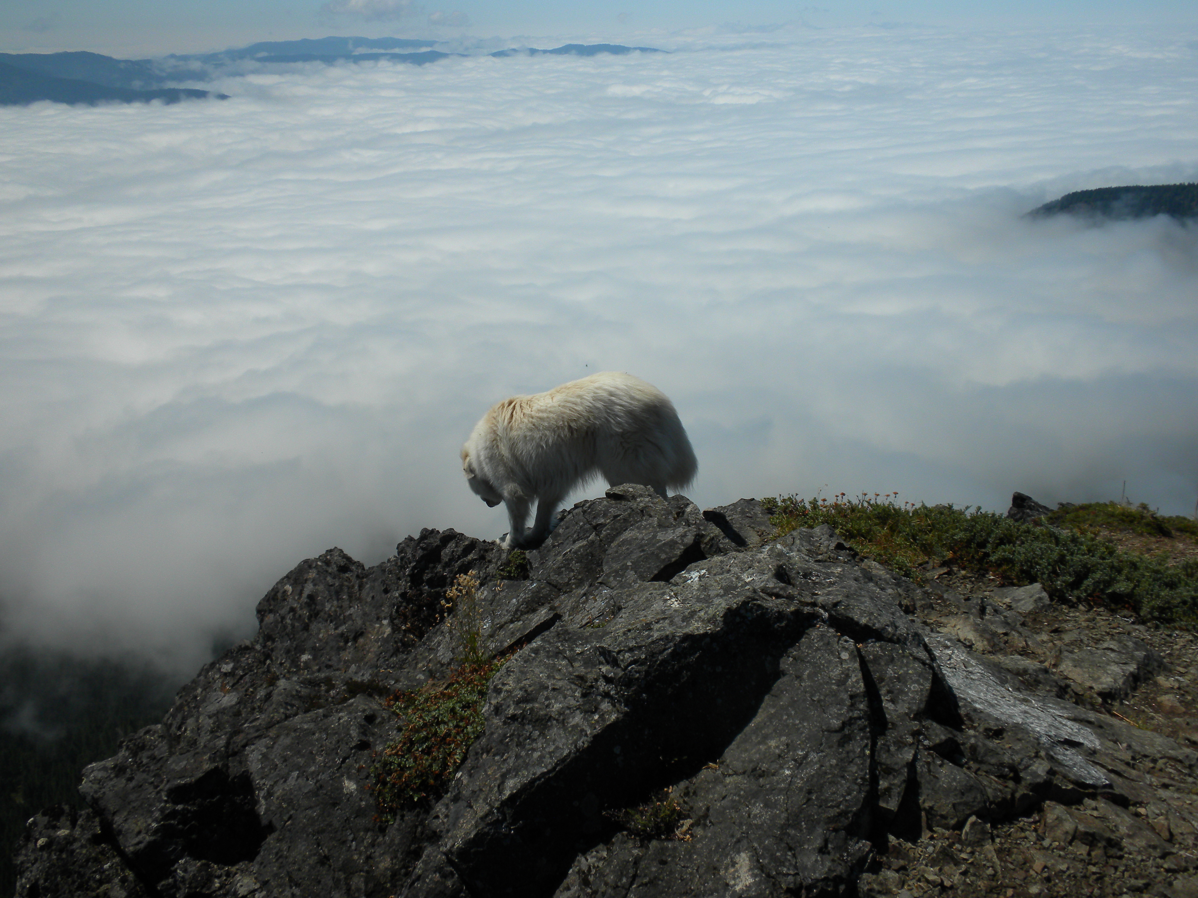
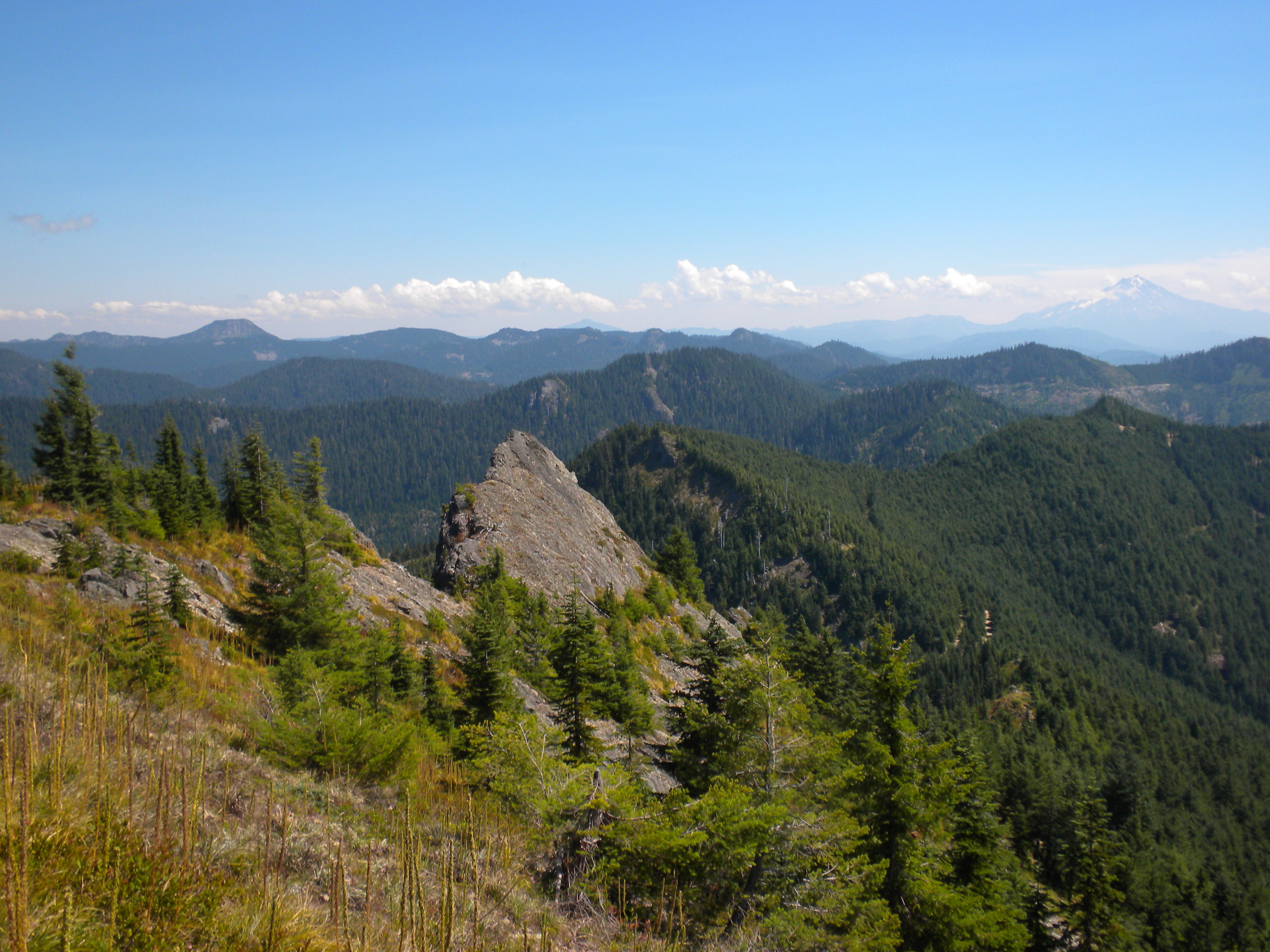
The views are wonderful.