On August 19 I activated Tidbits Mountain, W7O/CM-089 - or so I thought. First let me tell you about the hike, because it’s a nice trek.
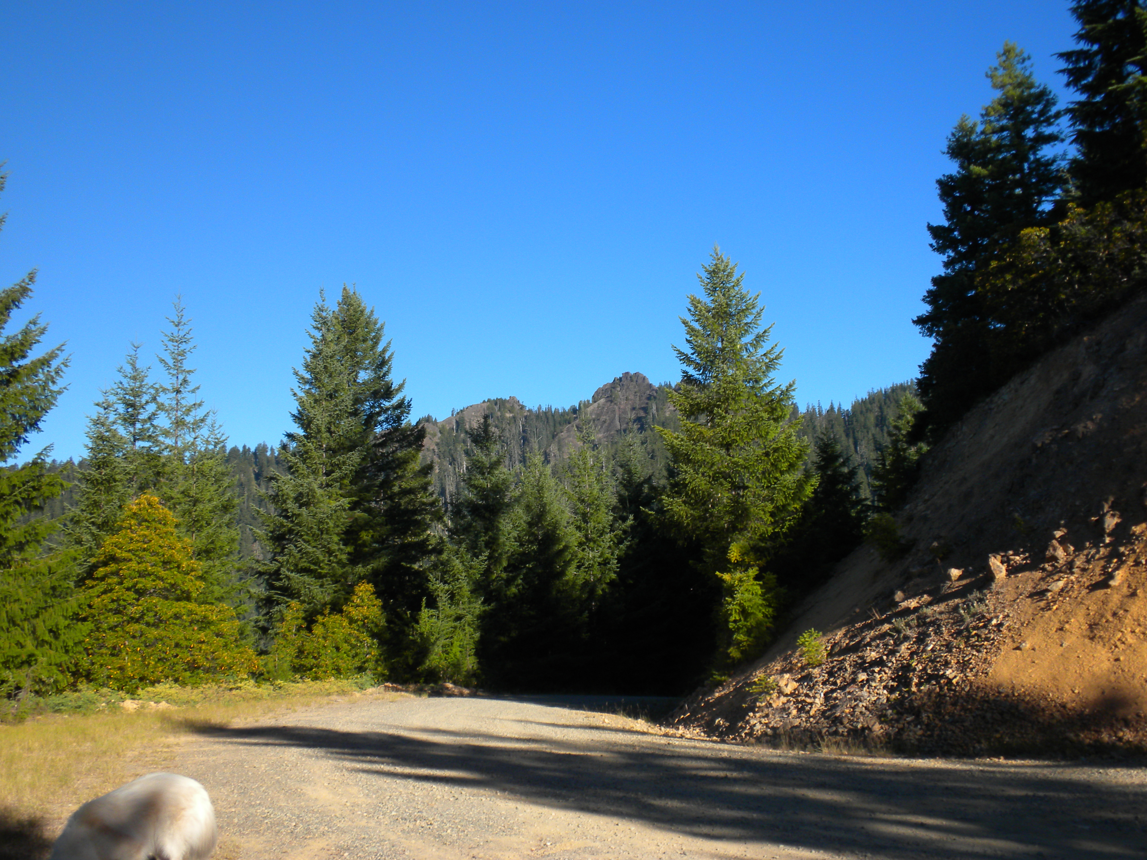
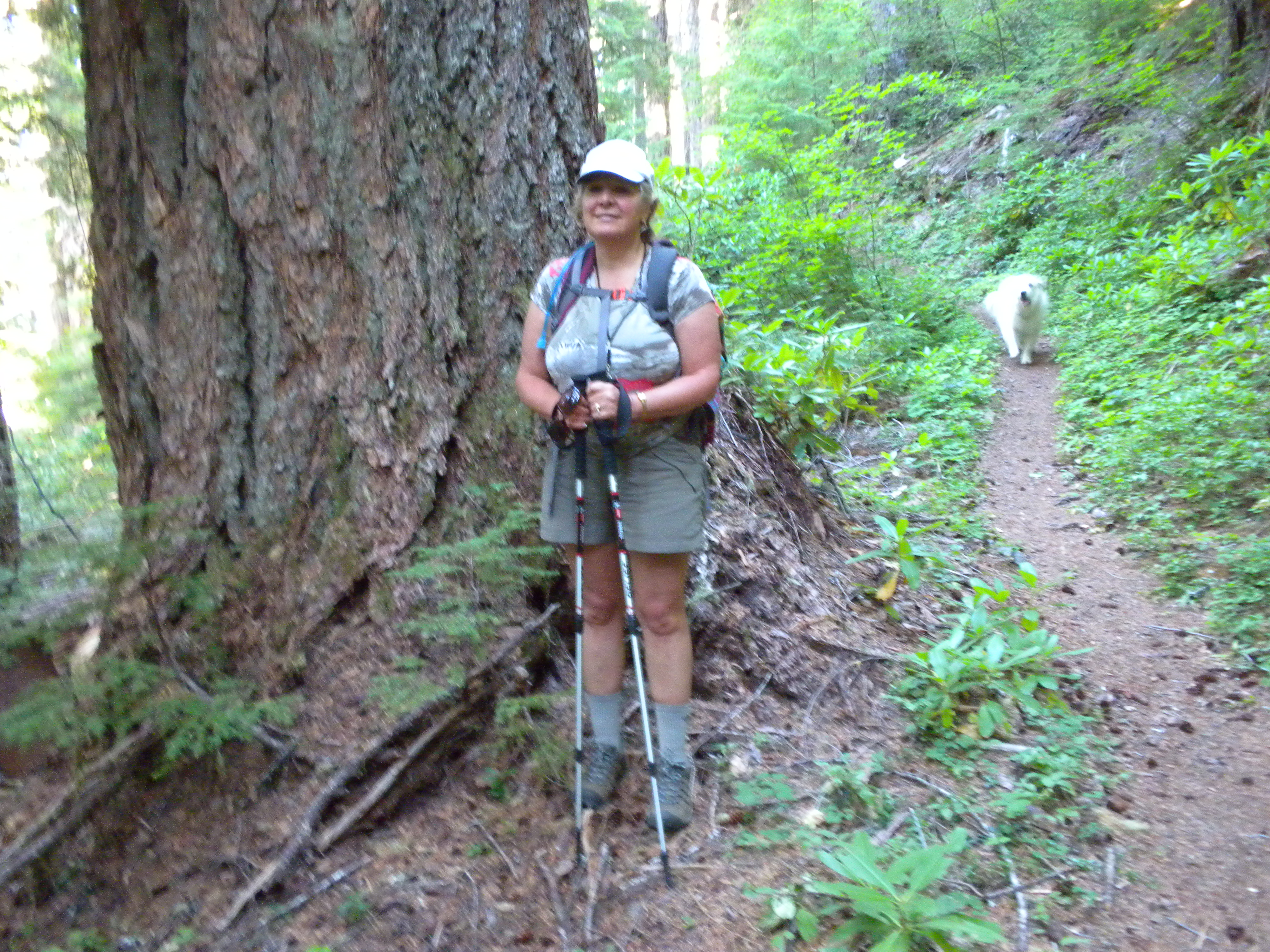
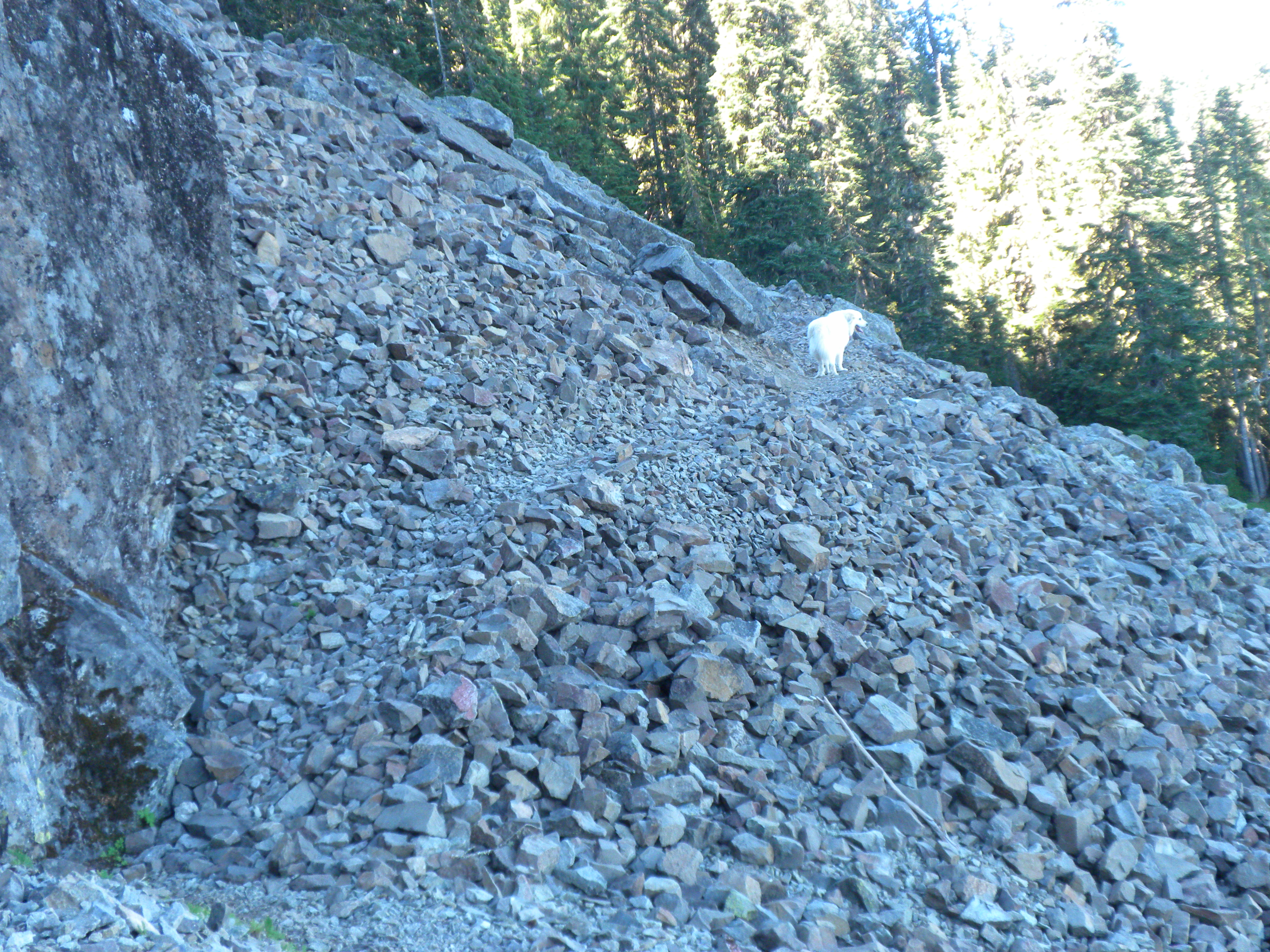
To find the summit, take Hwy 126 east from Springfield for about 44 miles. Near milepost 44, turn left on NF15 toward Blue River Reservoir. After 4.8 miles, the pavement ends. Turn slightly left here onto NF1509. Follow this road for 8.4 miles. The road up is rocky but well maintained. Park at the wide area across from the steep uphill on NF877. Hike up that steep road. Alternatively, if you have a 4WD vehicle, drive up the road 0.2 miles to another parking area, then hike from there. The hike is very enjoyable, 2.2 (or 2.0) miles each way with a 1100 to 1350’ (depending on how far your car gets you) climb on a well maintained trail that goes through old growth forest with 4 to 6’ diameter Doug-firs and across talus slopes with calling pikas. It is moderately strenuous with good documentation. There are many wildflowers, too.
Tidbits had an old lookout that is now just a concrete pad and downed wooden steps. This is on top of a rock pinnacle. I had a productive “activation” with two dozen plus chasers.
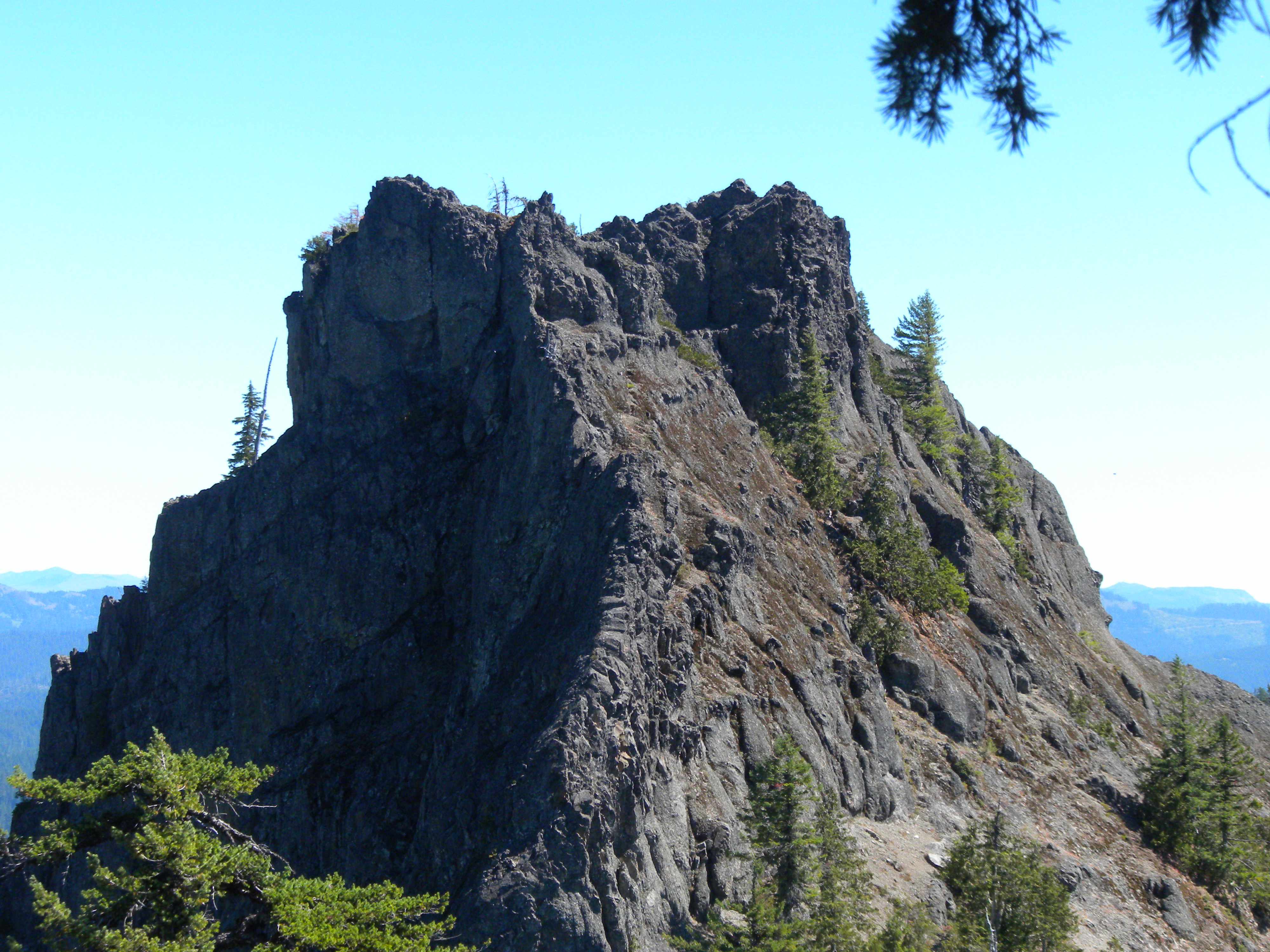
Here is where the story gets confusing. After the activation, I found out that I had not been on the taller pinnacle. Tidbits has a side (eastern) spire that is about 1000 horizontal feet from the main mountain. The mountain and the directions to it are well documented.
Here is a link to the NFS website description:
http://www.fs.usda.gov/recarea/willamette/null/recarea/?recid=4426&actid=24
The SummitPost site describes the two pinnacles, stating that the old lookout was built on the higher of the two:
http://www.summitpost.org/tidbits-mountain/151064
Sullivan’s site and guide book describes the hike to the 5185’ ASL summit. His book features a picture of the other spire that is captioned “View from Tidbits Mountain.” His drawn map shows the eastern spire as being lower than the western Tidbits Mountain pinnacle:
Clearly, the historically documented Tidbits Mountain is the 5185’ western pinnacle. However, The Oregon ARM and USGS topo map (neither of which I consulted before the activation) show the eastern spire as being 5220’ ASL. This eastern spire does not appear to be climbable without advanced technical skills. I ran into another hiker up there who said that he didn’t know of a trail to the eastern spire, and that it was not climbable as far as he knew. The problem is that from the SOTA standpoint, the eastern spire is the true summit. We consulted with the MT on this too.
Therefore, I have to erase the activation that I thought that I had done on 8/19/2013; you should remove this 4 point summit from your log if you chased me that day. I am sorry about this, but that’s the way it is.
The hike remains as a great way to spend some time in the mountains. If you are sure that you have the technical skills to tackle the eastern spire, you could try an activation on it. However, keep safety first in any decision you make on this summit.