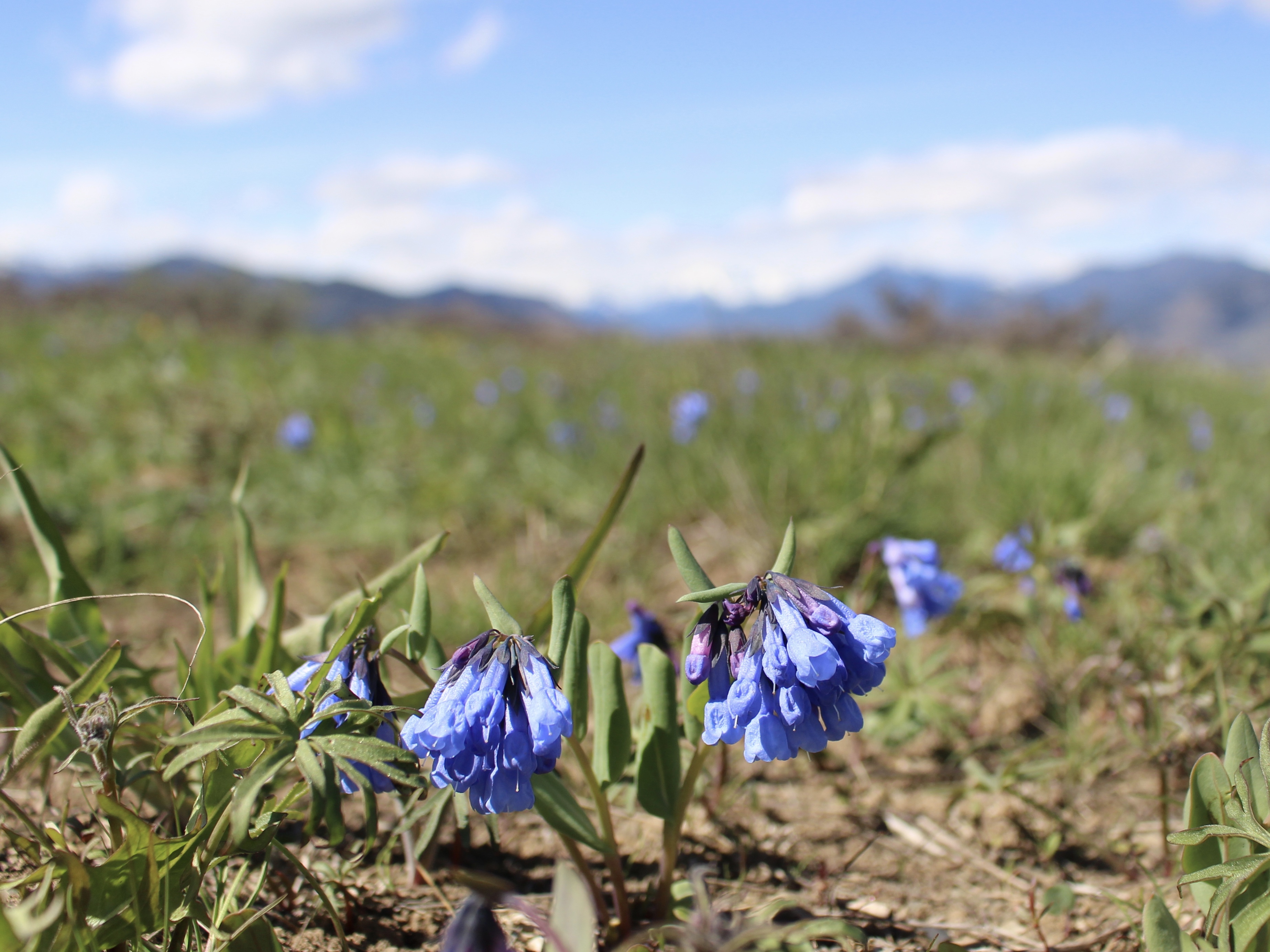
After the North Cascades Highway opened, enjoyed taking a mid-week day to activate this summit near Winthrop, WA. Spring is a great time as temperatures were in mid-60's, there was no snow, and some flowers were blooming. Both WTA and AllTrails have great trail information, and links are provided below. Trailhead is located about 15 minutes (7.8 miles) from main 4-way stop in Winthrop. Boatlaunch & Trailhead parking is at the Northeast corner of Patterson Lake, and a Discover pass is required for parking at the boat launch.
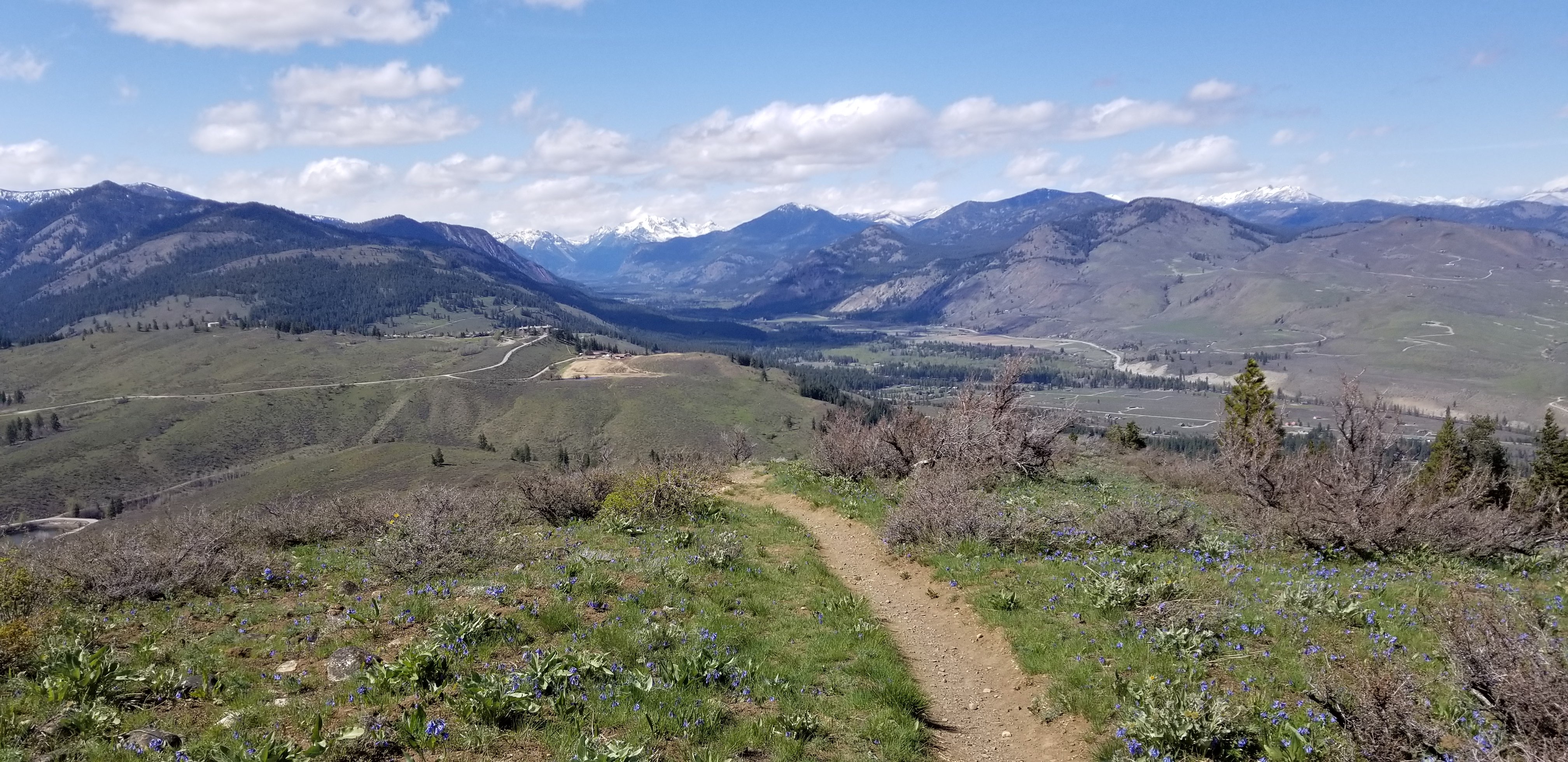
The round trip hike was 4.1m with 1,100 feet of gain. This included walking to the south summit which was easily accessable. Both trail and summit are very exposed, with limited trees or shade. Highly recommend doing the trail loop. I hiked the southern portion of loop to start, and the northern portion on the way back down. The northern trail had a bit more shade, and more views of Winthrop.
https://www.wta.org/go-hiking/hikes/patterson-mountain
https://www.alltrails.com/trail/us/washington/patterson-mountain-trail
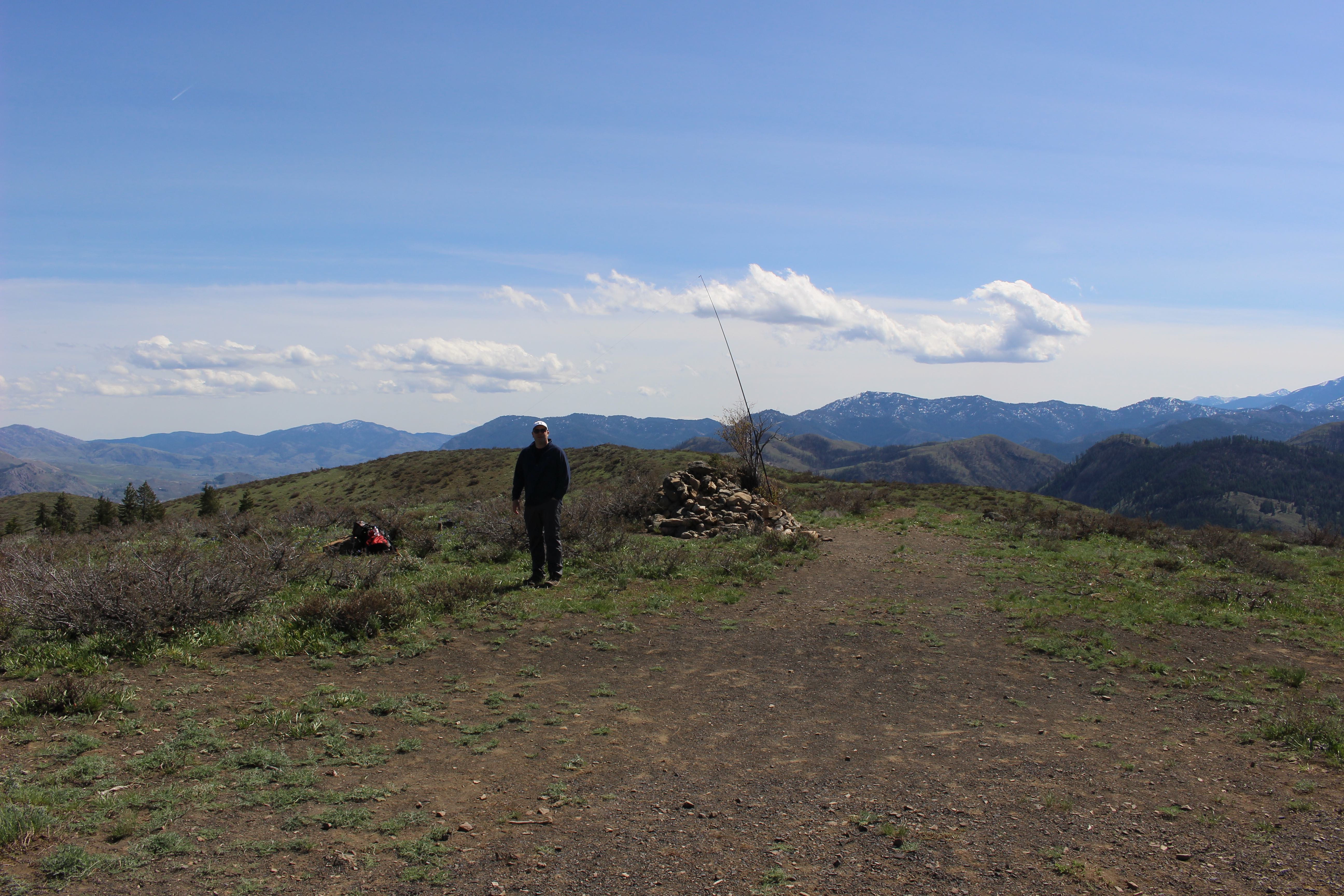
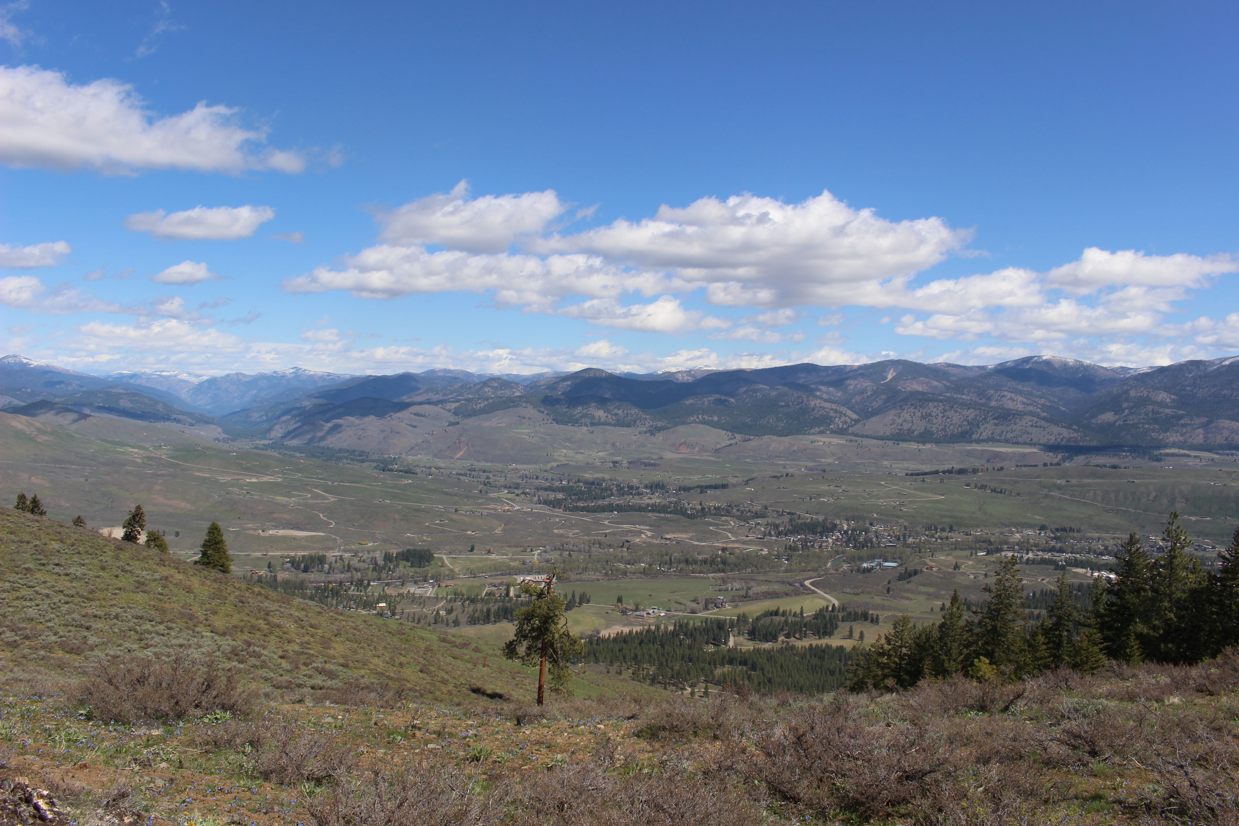
Since both summits were near same elevation, I activated at the main North summit cairn. For setting up the end-fed antenna, I strapped the extension pole to a small bush near the summit cairn. A little windy, but within an hour made 6 contacts on 20m, and one on 2M. Was not in a hurry with such a beautiful day and amazing views of Methow Valley, Winthrop, Twisp, etc.