Flagg Mountain is a great 4 point short hike (or drive-up) summit located west of Winthrop, WA. For a day trip, it could be combined with Goat Peak Lookout summit W7W/OK-107.
Directions/Access:
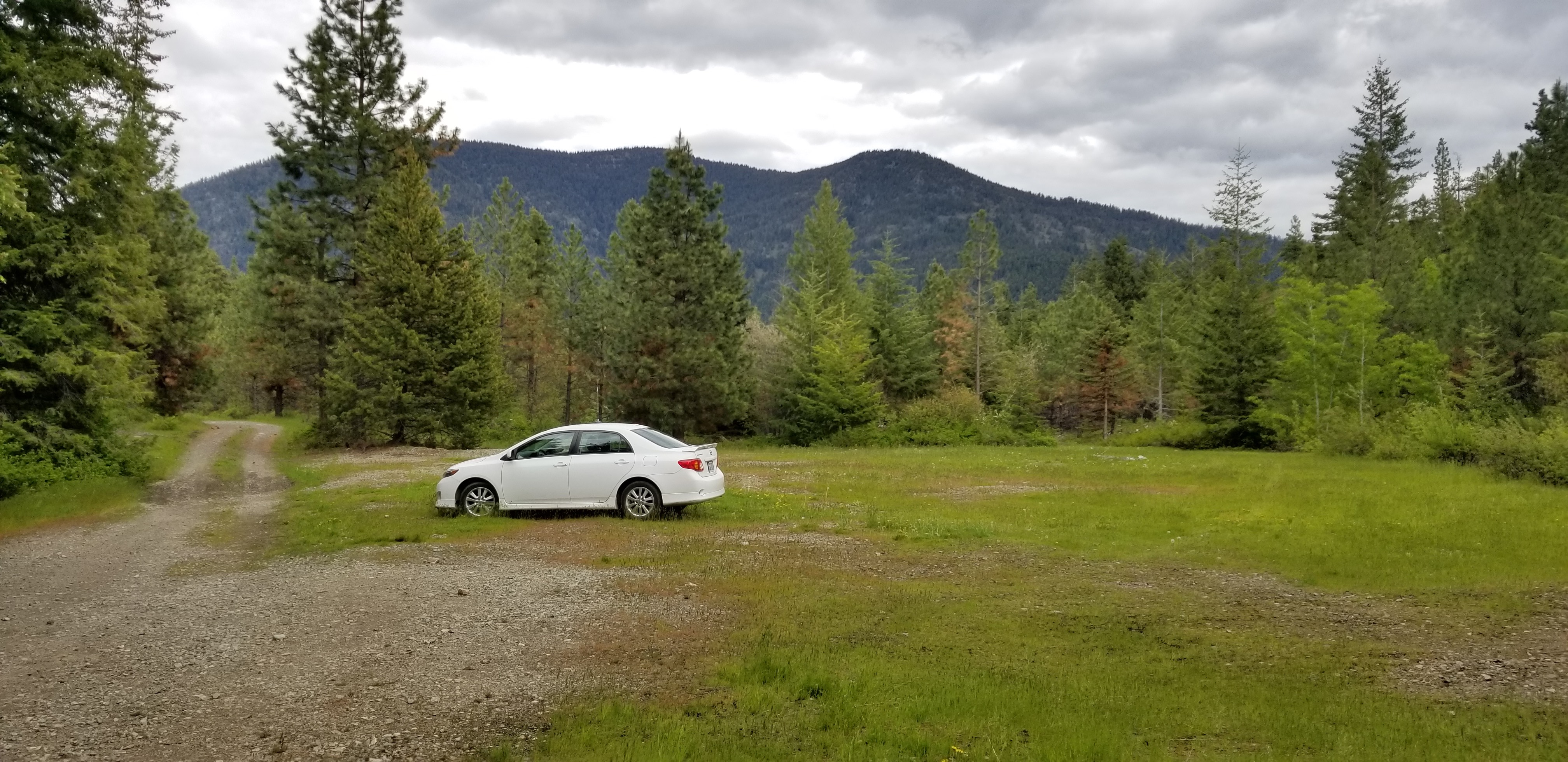
Heading East over the Cascades Highway 20, turn left onto Lost River Road heading North toward Mazama. In .4 miles turn right onto Goat Creak Road. In ~2 miles turn sharp left onto Goat Creak Road / NF-52. After driving on NF-52 for 2.6 miles, you will turn left (there should be a sign pointing toward Goat Peak Lookout). In 1.3 miles, turn left onto smaller road. I was able to drive a Corolla in .1 mile on this road to a nice open parking area. If you have a 4x4, you may continue on toward summit.
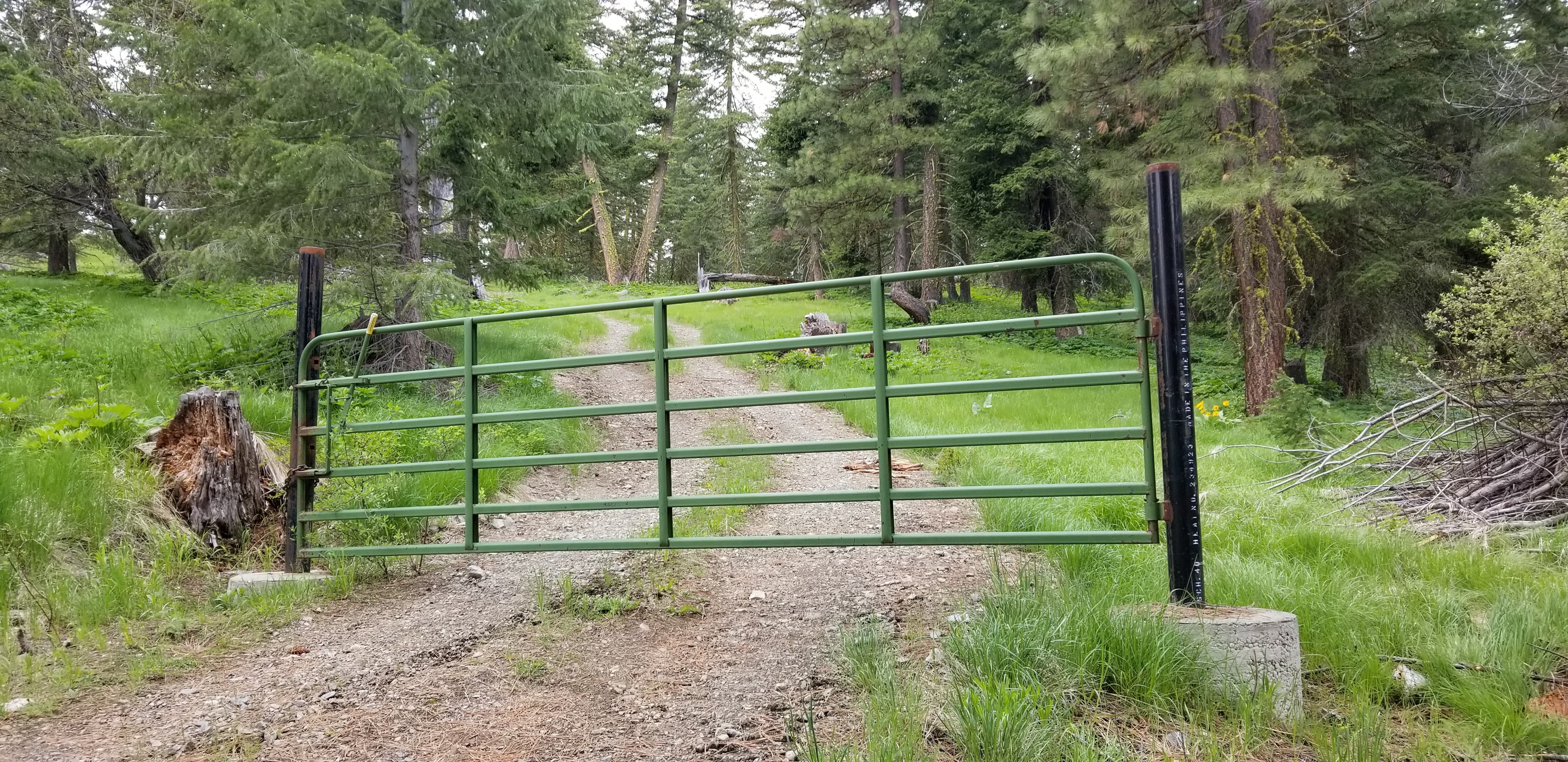
Hiking from this parking area was 2.6 miles RT, and 573 feet of gain. To hike/drive, continue straight on the main road. Via the map, it looks like there is a circular loop...but the west side of the loop was blocked by trees. In ~1 mile, you will arrive at the green gate. There are no signs posted, and I walked around the gate toward the summit which has two radio/cell towers.
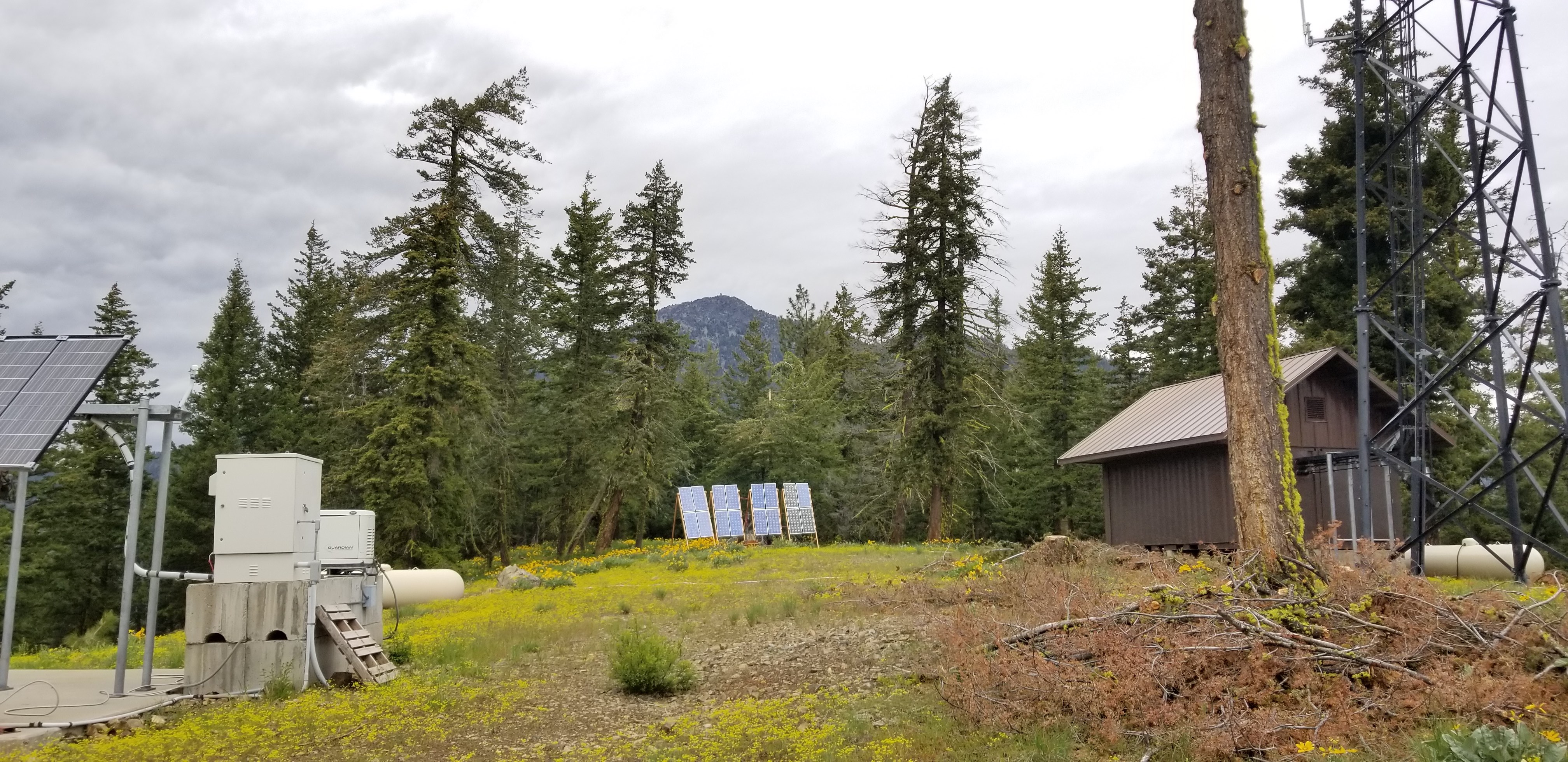
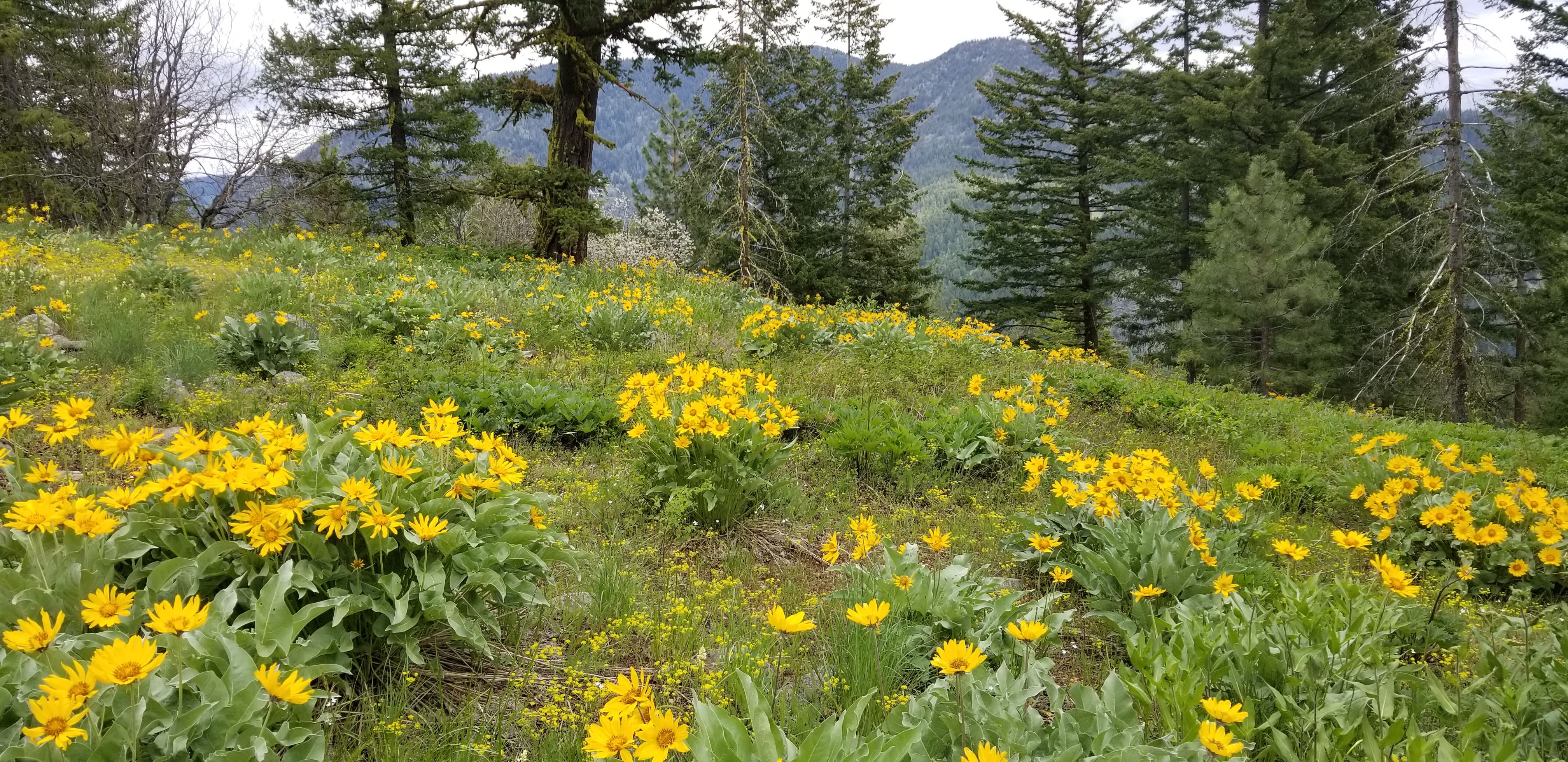
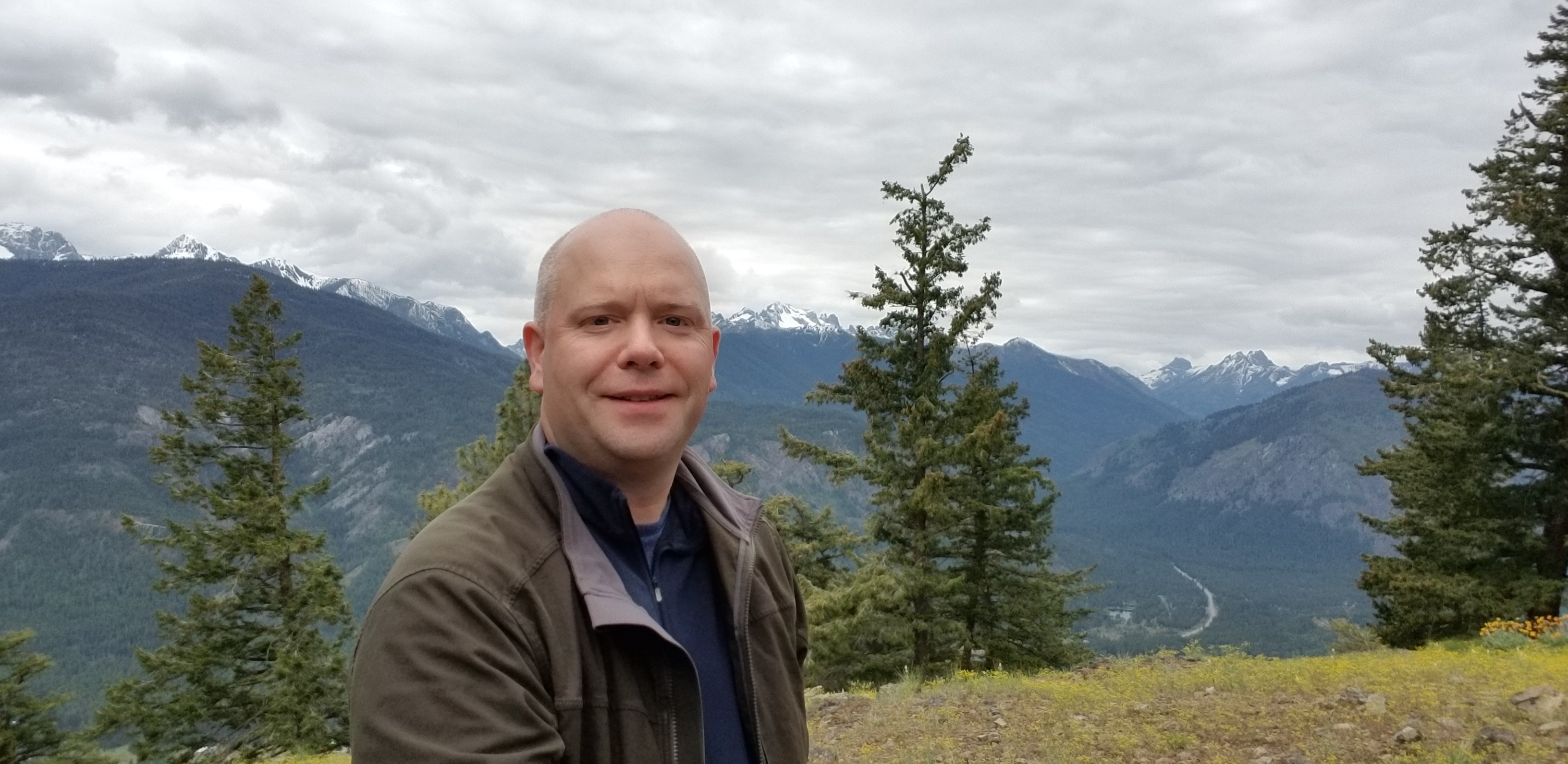
The summit is fairly open with some trees for antenna and/or mast. Views were great looking toward Highway 20, the Methow Valley, NW toward Goat Peak, and NE toward Fawn Peak. I leaned an antenna mast against a tree, and using a random wire antenna quickly made 6 contacts on 20m. Tried calling a few times on 146.520, but no response. Cell phone service (AT&T) worked great on the summit, and was able to self-spot.