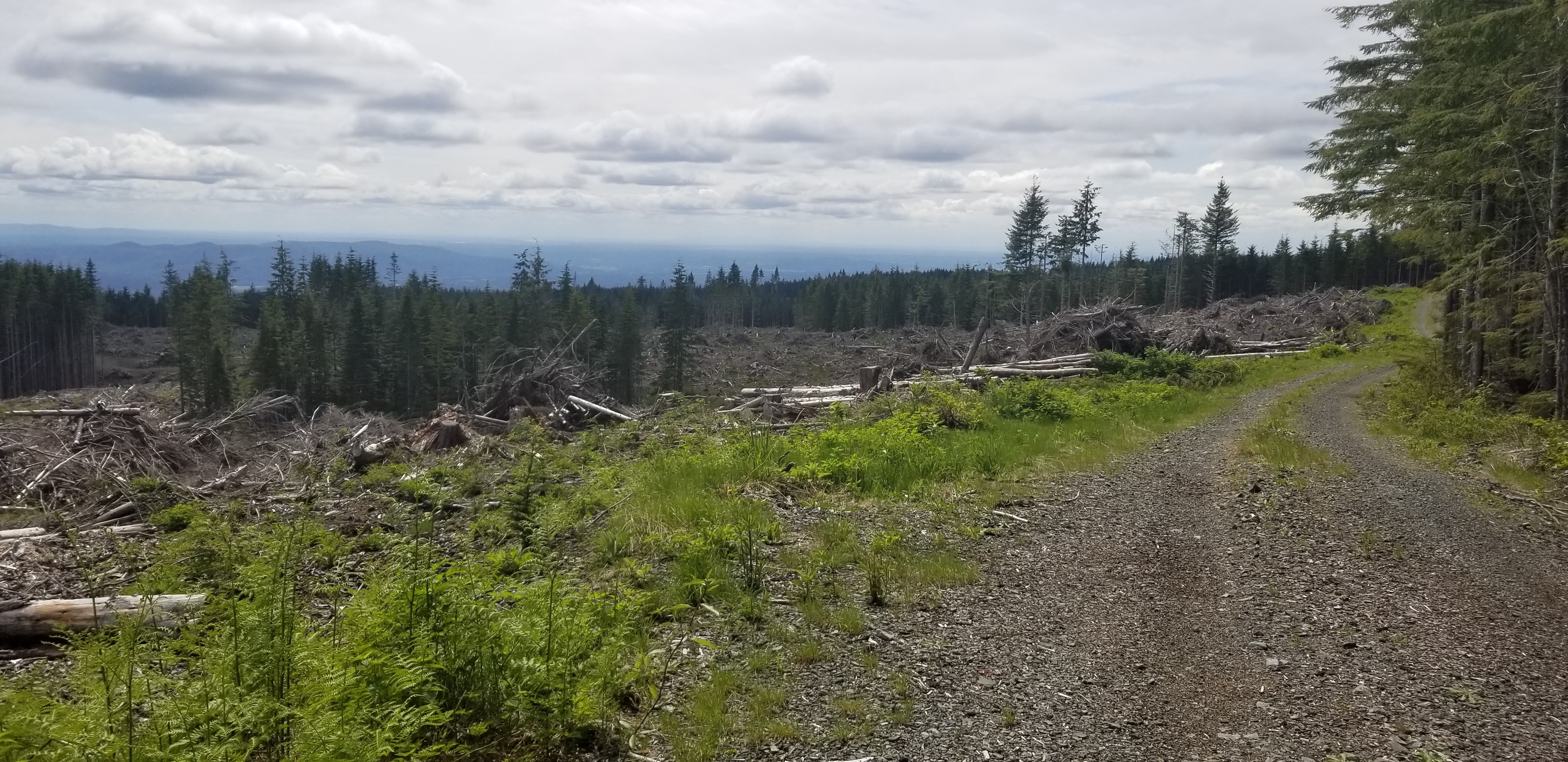
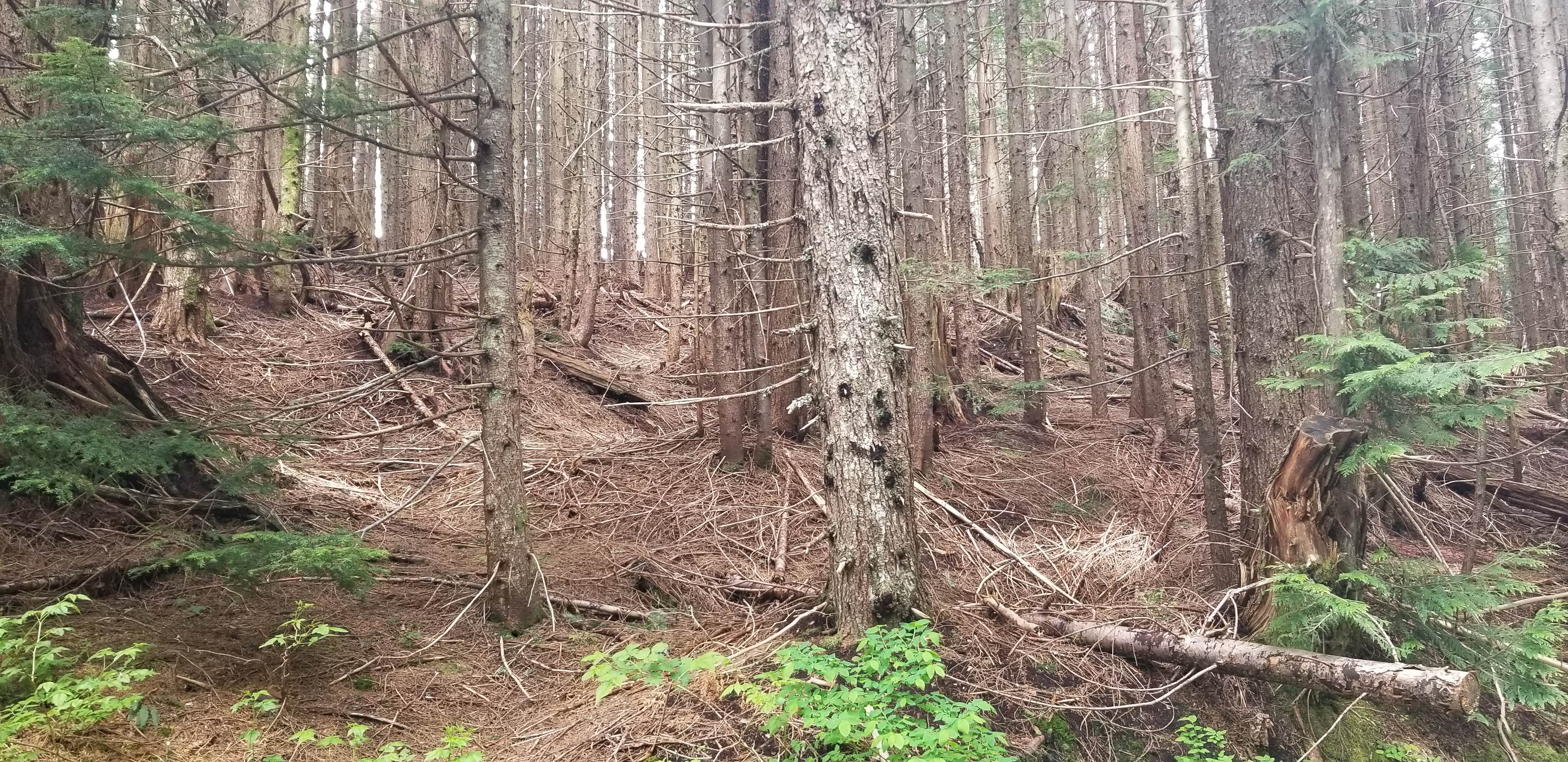
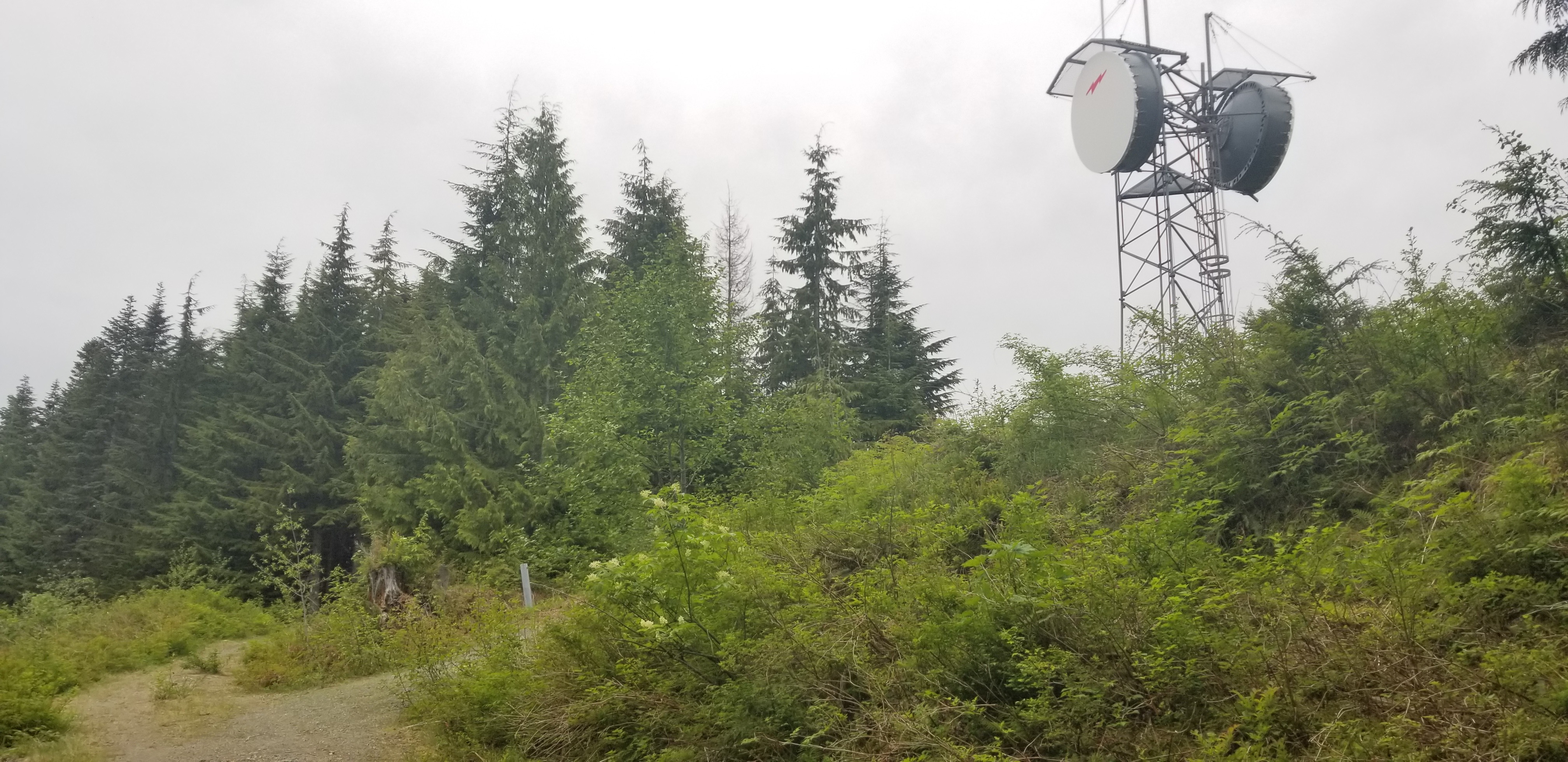
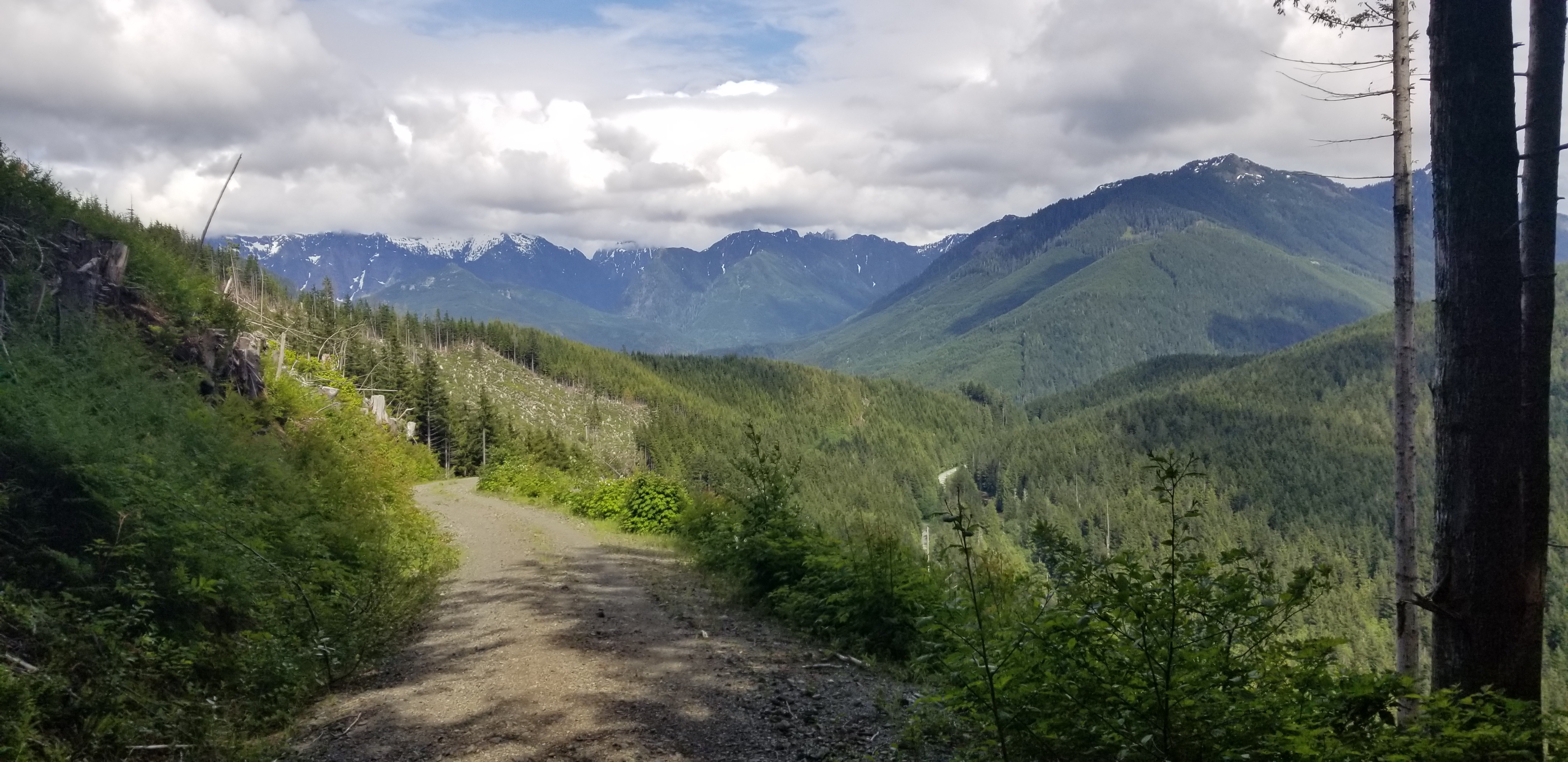
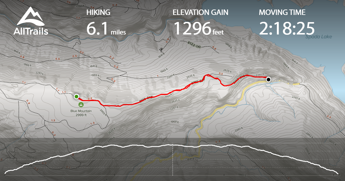
There are many Blue Mountain's, and this one is located in Snohomish County, WA and just east of Sultan. From parking gate to summit, it involves a 3 mile road hike (6.1 miles round-trip), and ~1,300 feet of gain. There are some views along the way, and limited views from the summit. With the summit being heavily wooded, I activated near the tower (west / northwest of the summit and ~40 feet below summit per CalTopo map). Was able to spot from the summit, but AT&T service was not consistent.
Directions:
From Hwy 2 in Sultan, turn north onto Sultan Basin Road. You will follow this road for a total of 12.8 miles (approx 25 minutes travel time), before reaching the gate for NF-210 on the left. Of the 12.8 total driving miles on Sultan Basin Road, the last 2.5 miles are gravel and passable via car. When parking near the gate, A Discover Pass is required.
Trail Information:
This is a 6.1 mile roundtrip road hike, with ~1,300 feet of total gain. The last mile before reaching the summit is relatively flat along a ridgeline, and elevation is gained relalively gradual in the first 2 miles.
https://www.alltrails.com/explore/recording/recording-jun-04-03-50-pm-12f7308?p=-1