For some reason, Chuckanut Mountain was not on the top of my list for a 2 point summit. Two reasons were probably the long hike for two points, and uncertainty about going off trail to the summit. After not hiking for 6 weeks due to Covid-19 lock-downs, this was a great hike to enjoy being back on a trail. While a bit longer hike, the elevation gain is gradual and the final off-trail summit push is also gradual and easy to traverse.
Directions:
From I-5, take exit 240 (Alger) and head west on Lake Samish Road. In about 0.5 mile, turn left on Barrell Springs road and travel 0.7 miles to Blanchard Hill Trail Road. Turn right onto Blanchard Hill Trail Road, and travel 1.7 mile to the upper parking lot. (Of note, there is a restroom at the lower parking lot, but not at the upper lot). From the upper parking lot, the Lily Lake trailhead was just south of the parking (and you would have just passed on the left driving to the upper lot).
Pass Required: Discover Pass is required
Trail Information:
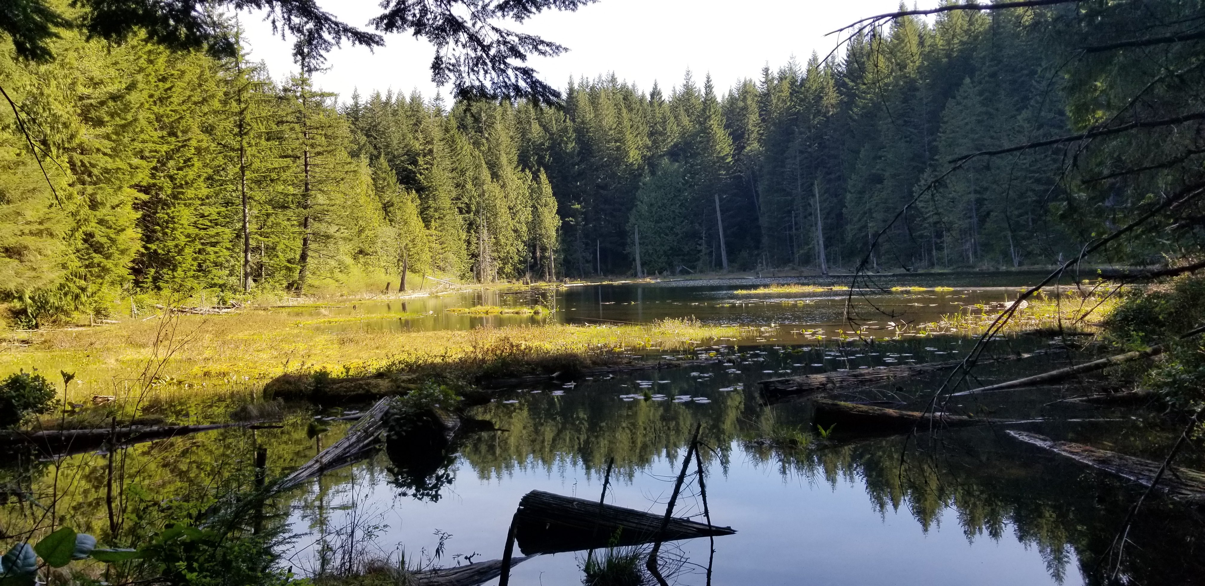
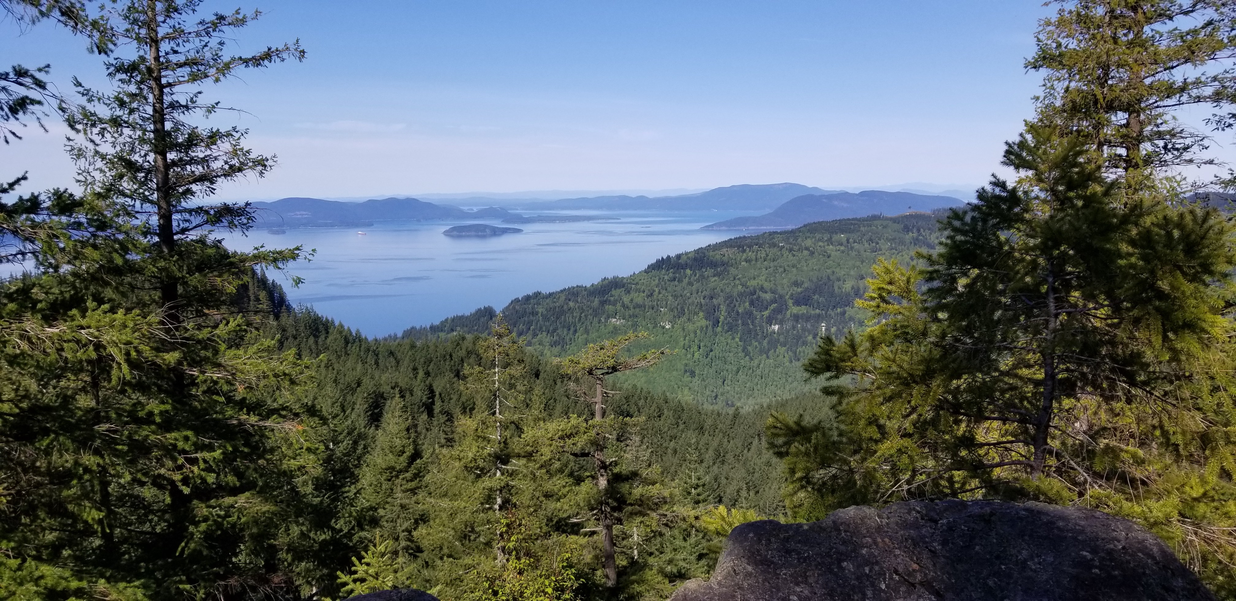
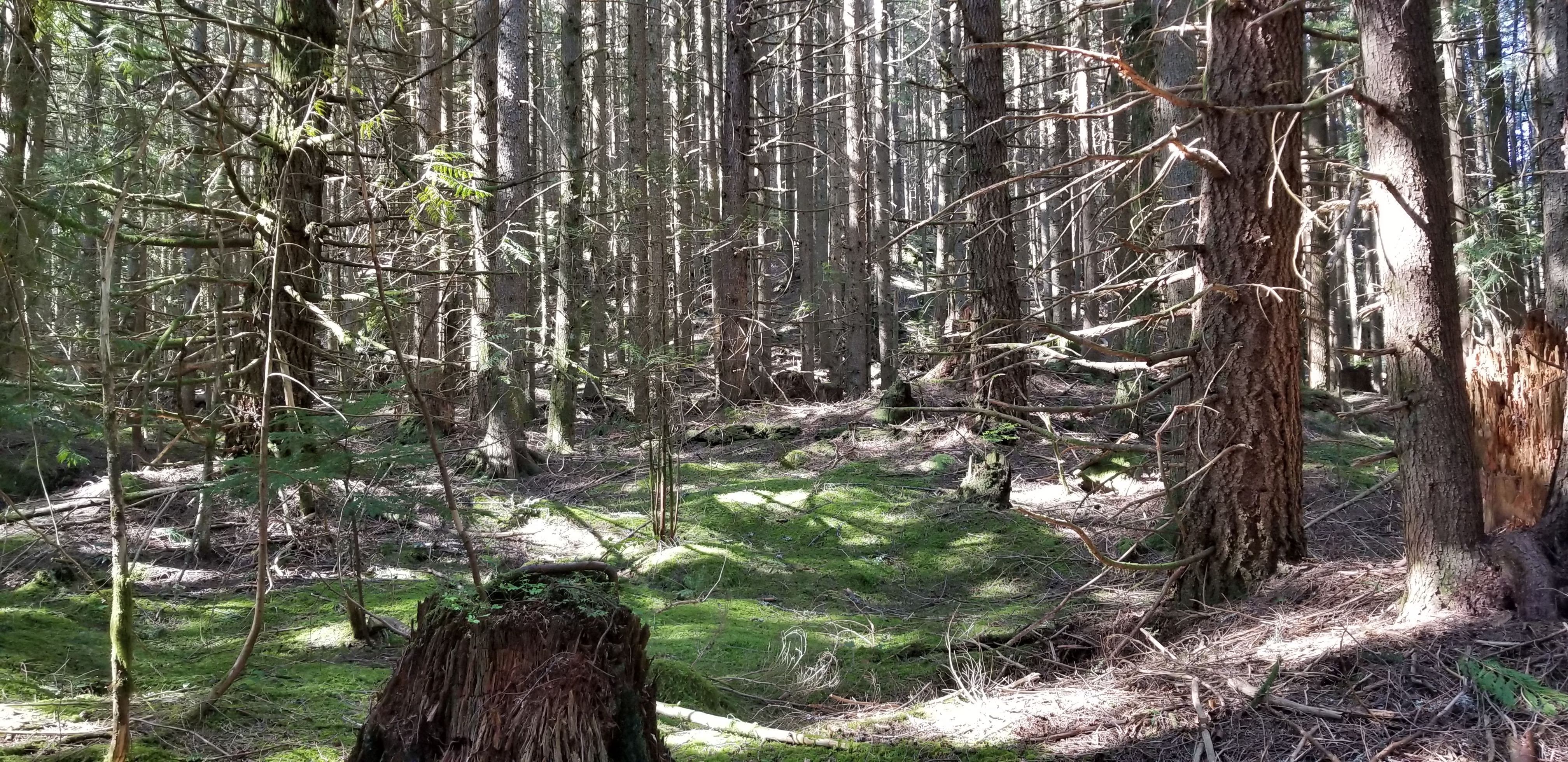
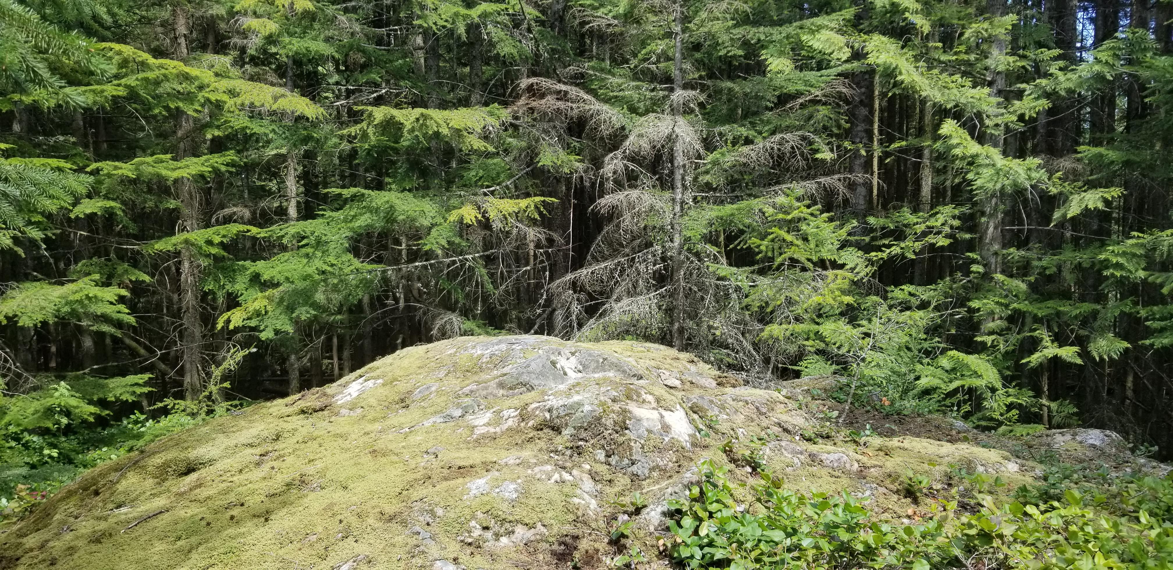
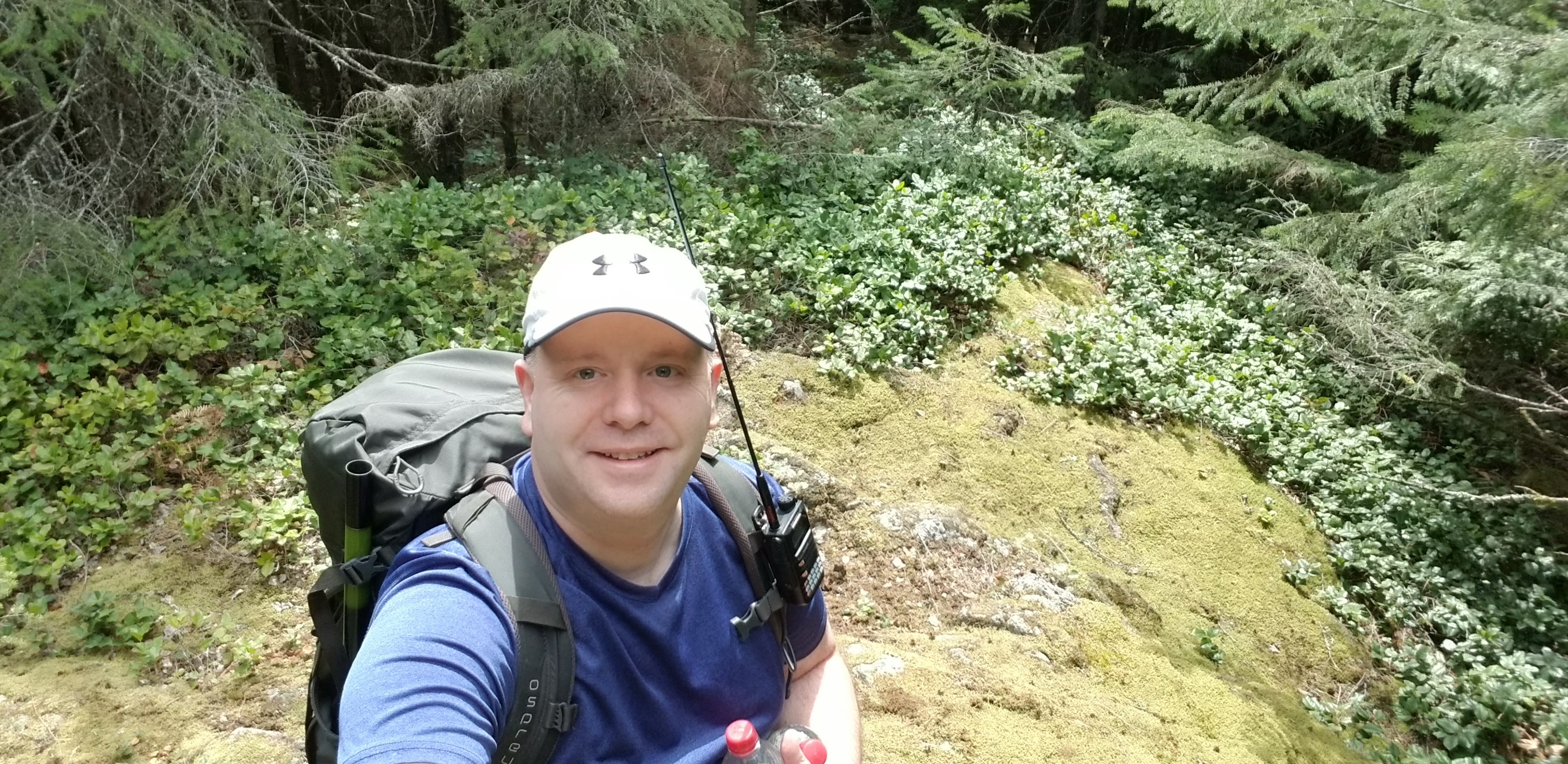
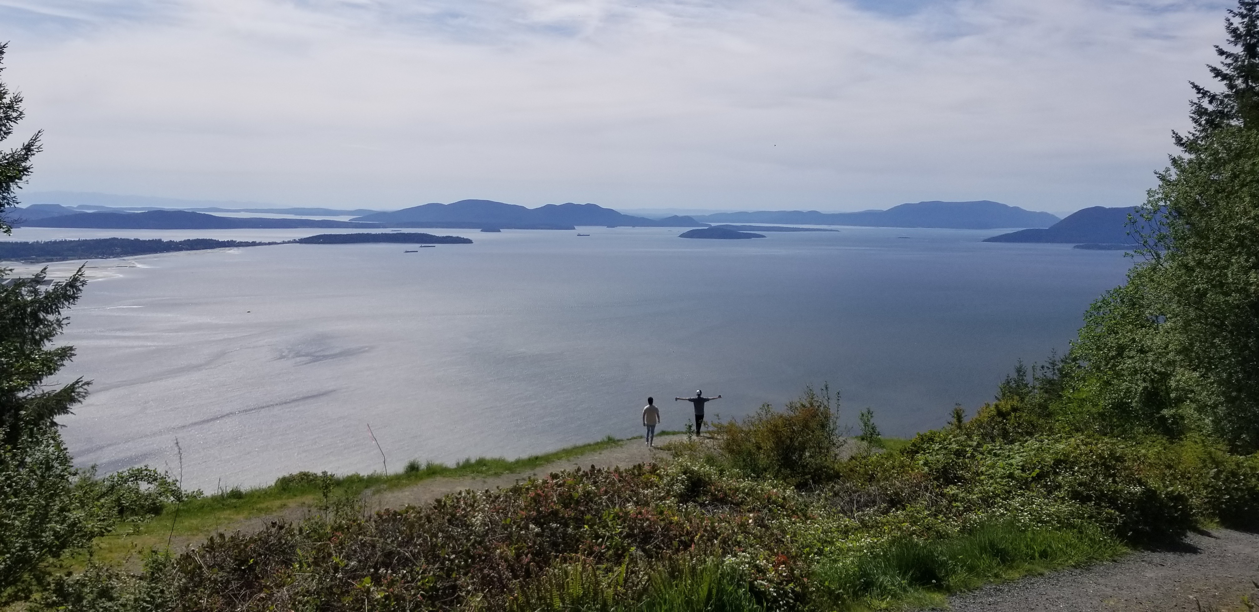
For trail information, I used the "Lily and Lizard Lakes trail" information, and then just north of Lily Lake I followed the North Butte side trail. Approximatly mid-way on the North Butte trail, I started heading south off-trail and toward the summit. There were primarily broken branches on the ground, and it was easy to traverse to the summit. From mid-point of the North Butte trail is was about 150 feet of gain to reach the summit. The summit is located at 48.626777, -122.407279 and there is a large open rock surrounded by trees. There are no views from the summit. (For some views of the sound or Baker to the west...travel to the end of North Butte trail.) Please note, there are a few trails options which may be slightly shorter.
https://www.alltrails.com/trail/us/washington/lily-lizard-lakes-loop-trail
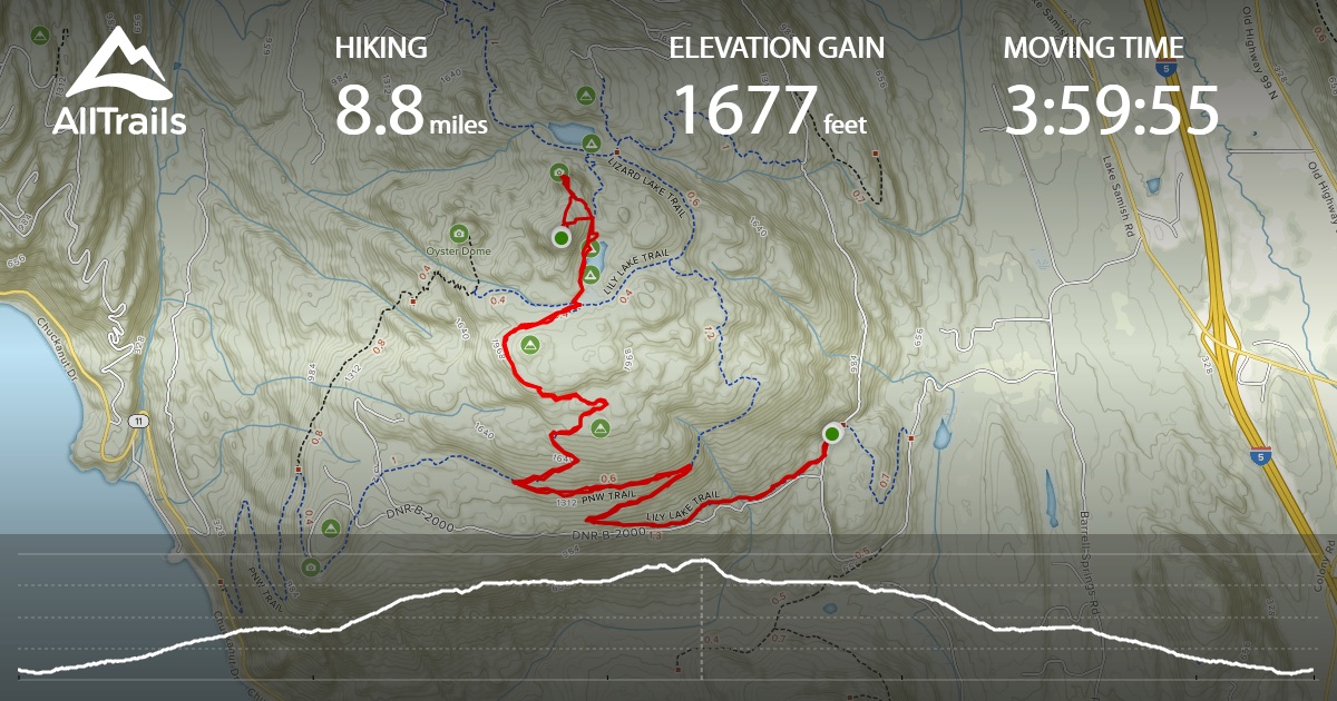
More detail on my track - 8.8 miles and 1,677 gain which included a short side trip to North Butte lookout area. I followed the Lily Lake trail, and then at ~1.5 miles took a left onto PNW Trail (there was a sign to turn left toward Samish Overlook). At ~2.2 miles, I then took a right onto "Max's Shortcut" (there is a sign pointed right to Lily Lake"). At ~3.7 miles, you'll be at Lily Lake. Go straight along the left/west side of the lake on the Lily Lizard Connetor trail. At ~4.1 miles, turn left onto North Butte trail. After turning onto the North Butte trail you can start heading SW to S toward the summit between the ~4.1 to ~4.2m mark. There are probaly other approaches, but this seemed the most straightforward.
https://www.alltrails.com/explore/recording/recording-may-09-02-41-pm-d8700cb
After your hike, suggest driving the short distance to the Samish overlook to enjoy the views and take a few minutes to relax. The gravel roads to the upper parking area and Samish overlook were in very good shape.