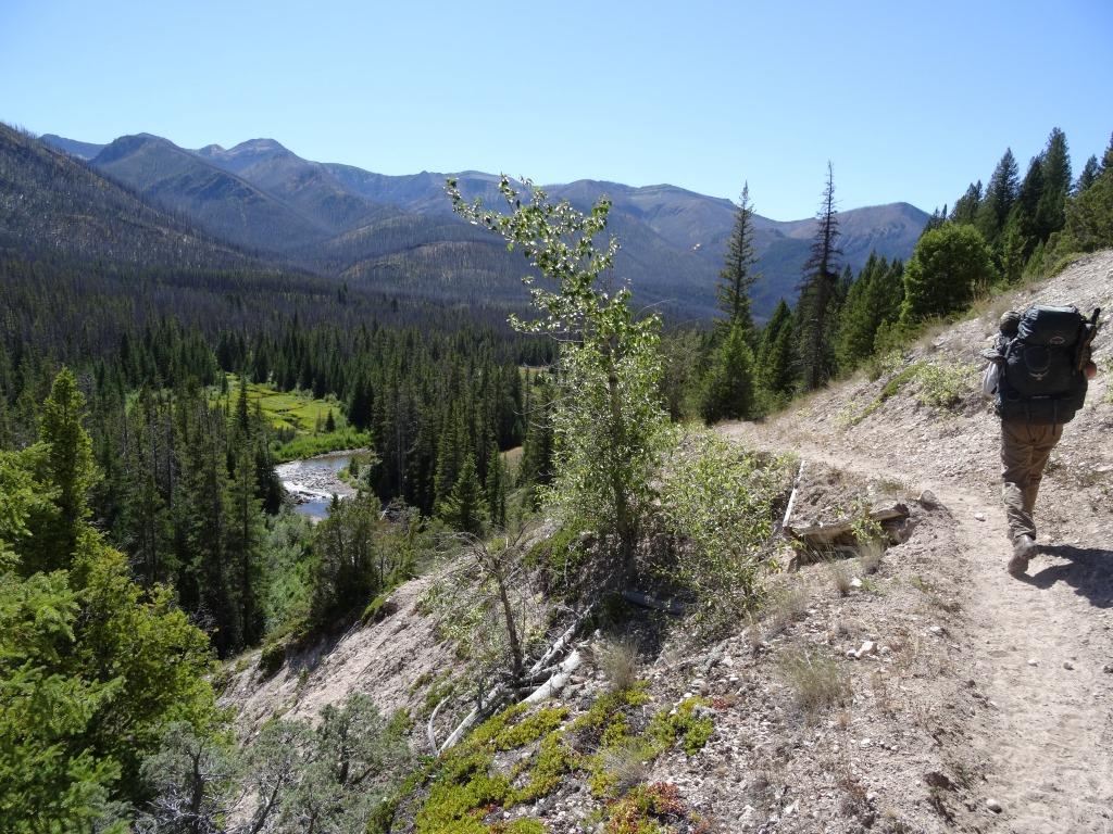
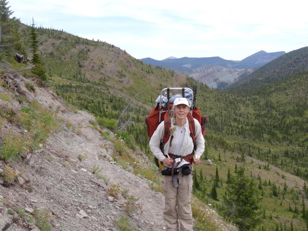
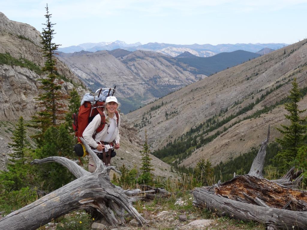
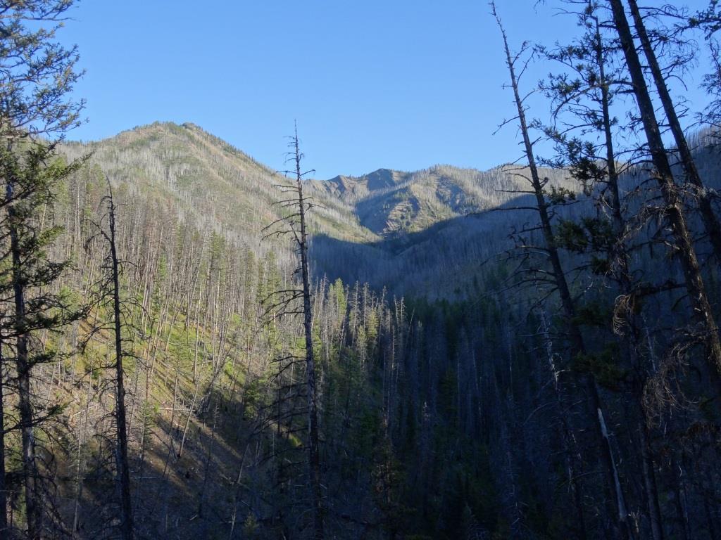
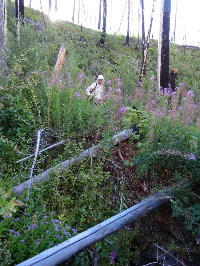
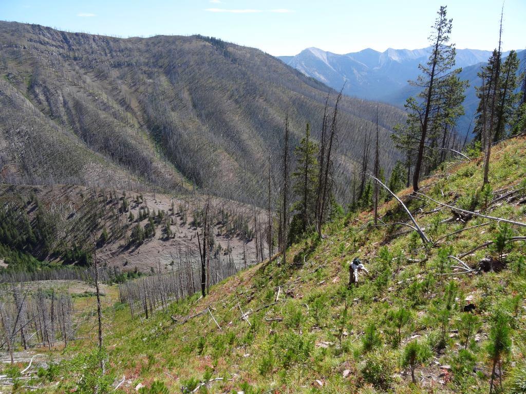
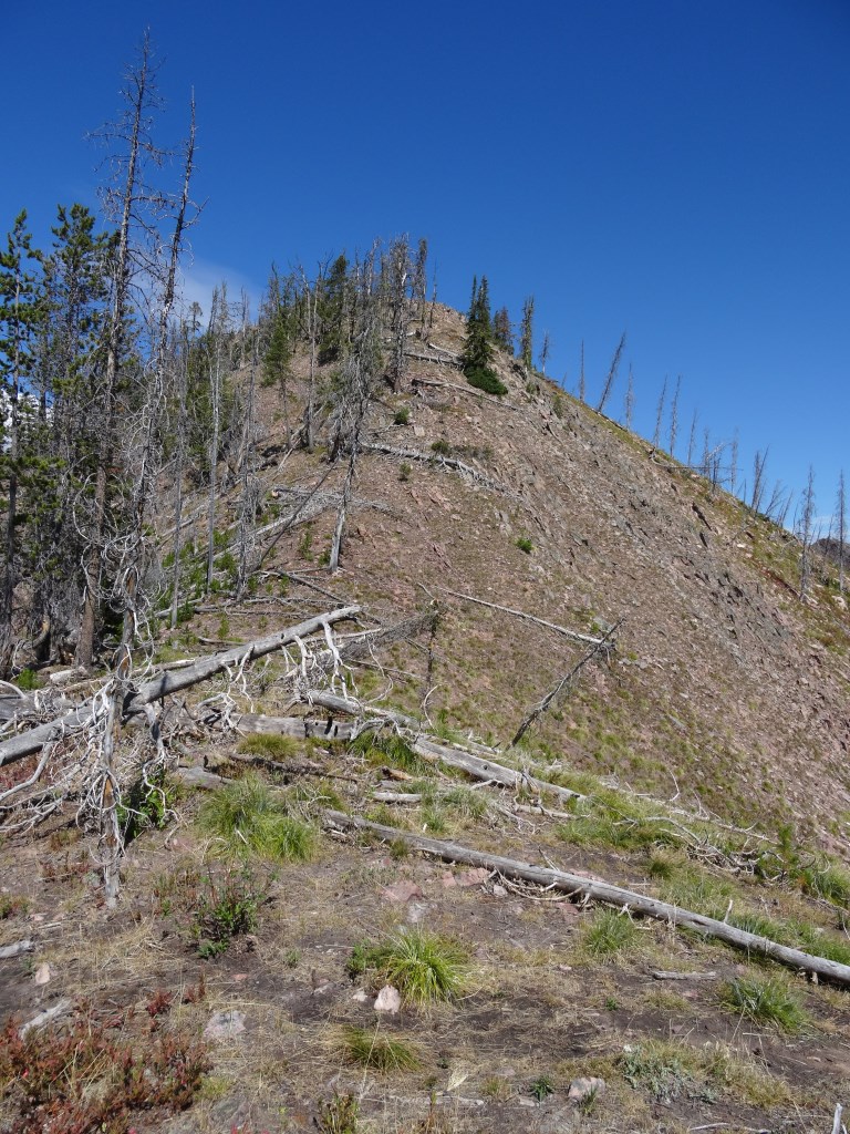
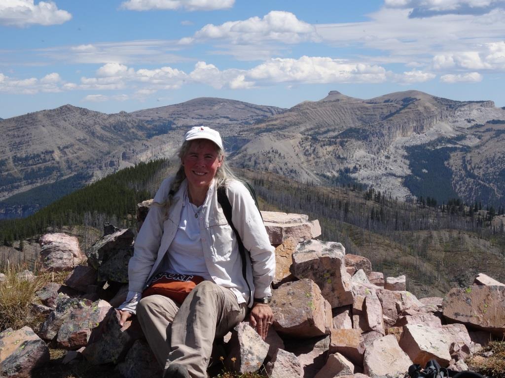
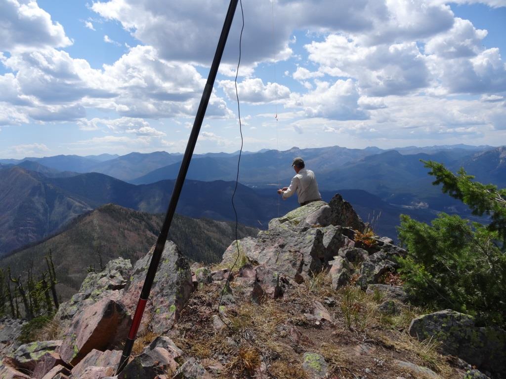
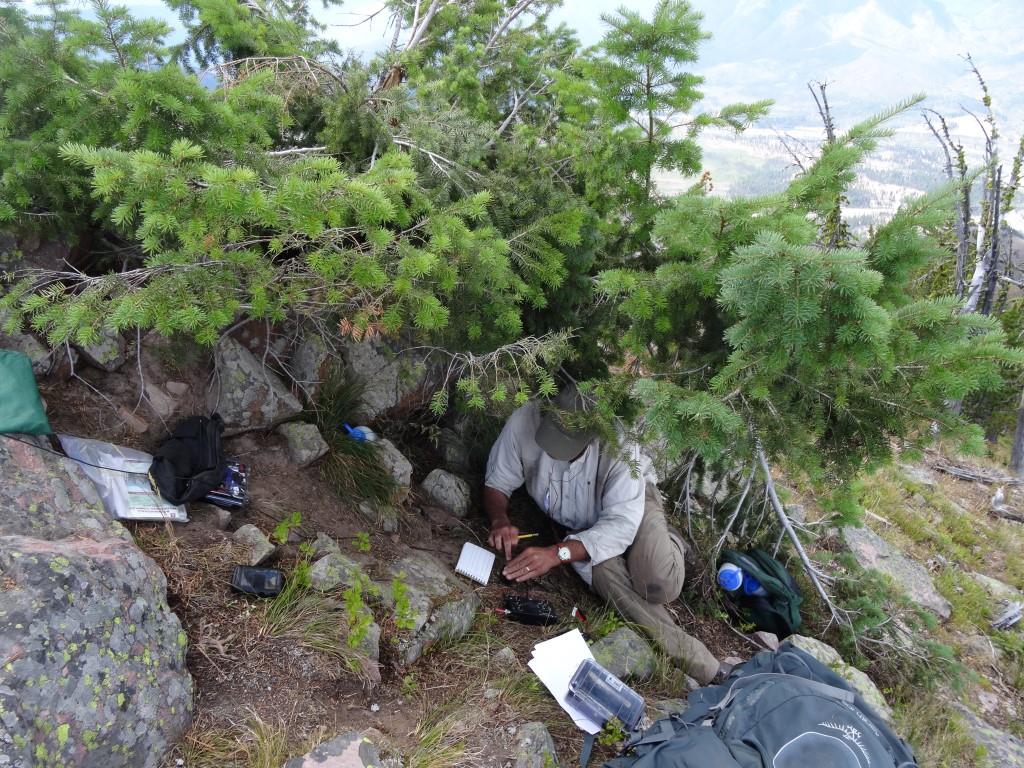
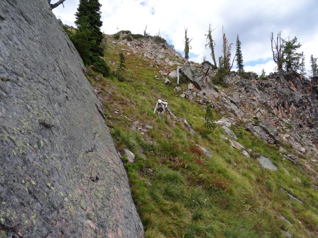
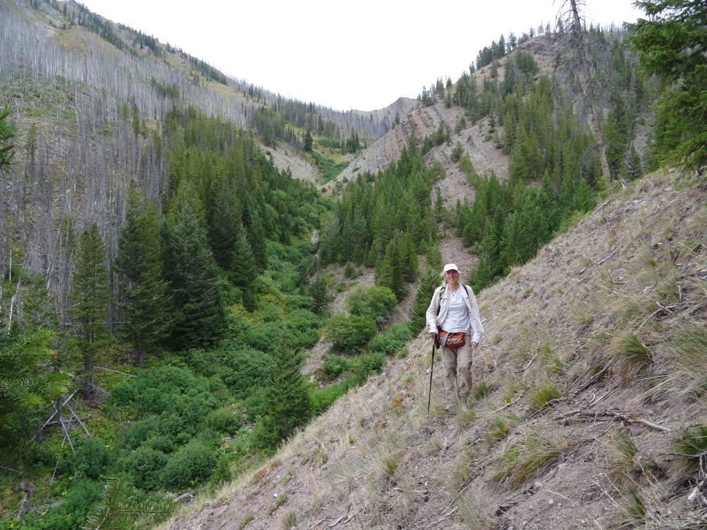
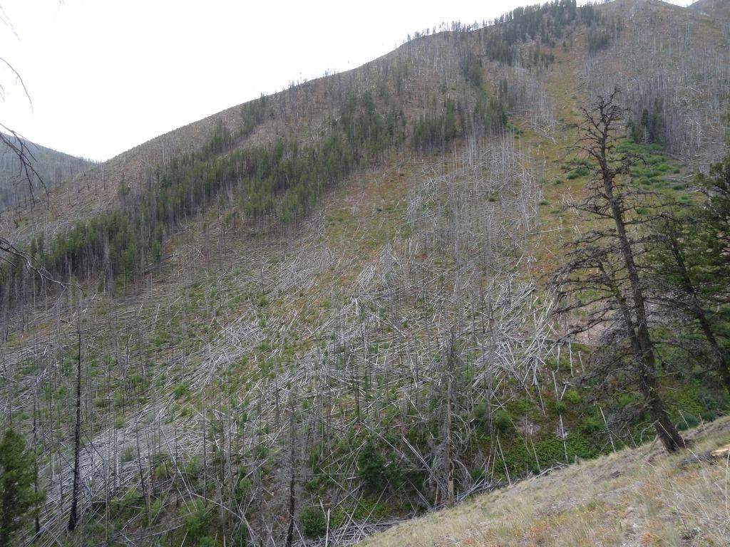
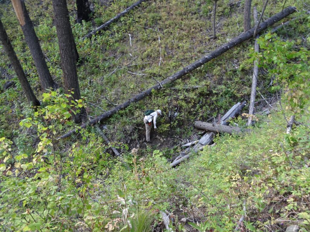
Straight Cr. Approach (3,000 ft, 2.5 mi, 23 mi approach)
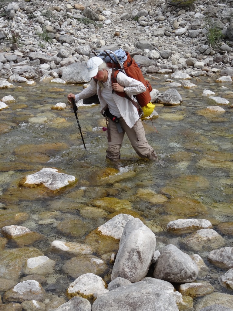
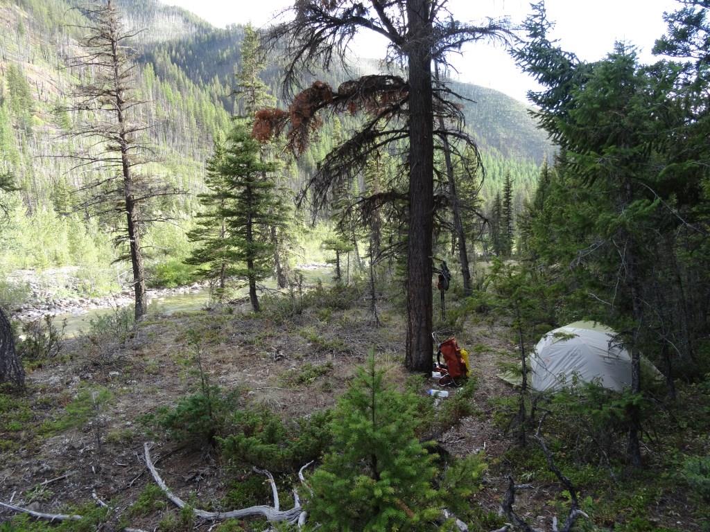
This is the SOTA summit that is furthest from any road within Montana. The hike to the “trailhead” is 23+ miles from Benchmark. The trails to the base of the mountain are good - it is very reasonable to cover 10+ miles/day. We incorporated this activation with two others on a 9-day loop trip. The climb involves some bushwacking, moderate sidehilling, deadfall, and little in the way of trails after leaving the White River trail. Leave the White River trail just east of where it crosses Straight Creek and head for the west side of the nose of the ridge that bounds the east side of Straight Creek. Intersect the nice horse/hunting trail that ascends to the sloping bench/ridge and fades out at about elevation 5,300. Contour up the side-slope to where the Straight Creek valley splits at about elevation 5,600. Cross the eastern gully (North of the split) and begin ascending the ridge that is north of the split. There should be some water at the gully crossing. Follow the faint game trail that contours to the east at about 6,000 feet whilst staying above the shaley cliffs below. The game trail will cross a small copse of trees and shrubs (and some water). Head directly west across the deeply incised gully at the first opportunity. This may be akward due to the steep banks and thick vegetation. After crossing the gully, head up any of the steep, vegetated slopes to the summit. Take care to stay to the left (south) of the summit. The north ridge is very narrow and looks difficult, while the SE ridge is quite pleasant to climb – at least above the saddle at elevation 6,600. Note that the SW ridge of Rampart Mountain (from the mouth of White River) has the potential to be much more straight-forward.