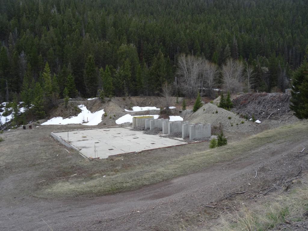
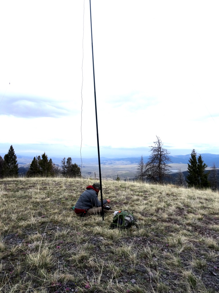
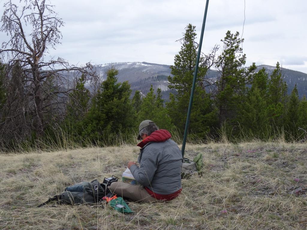
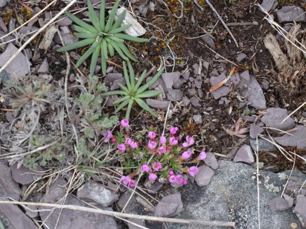
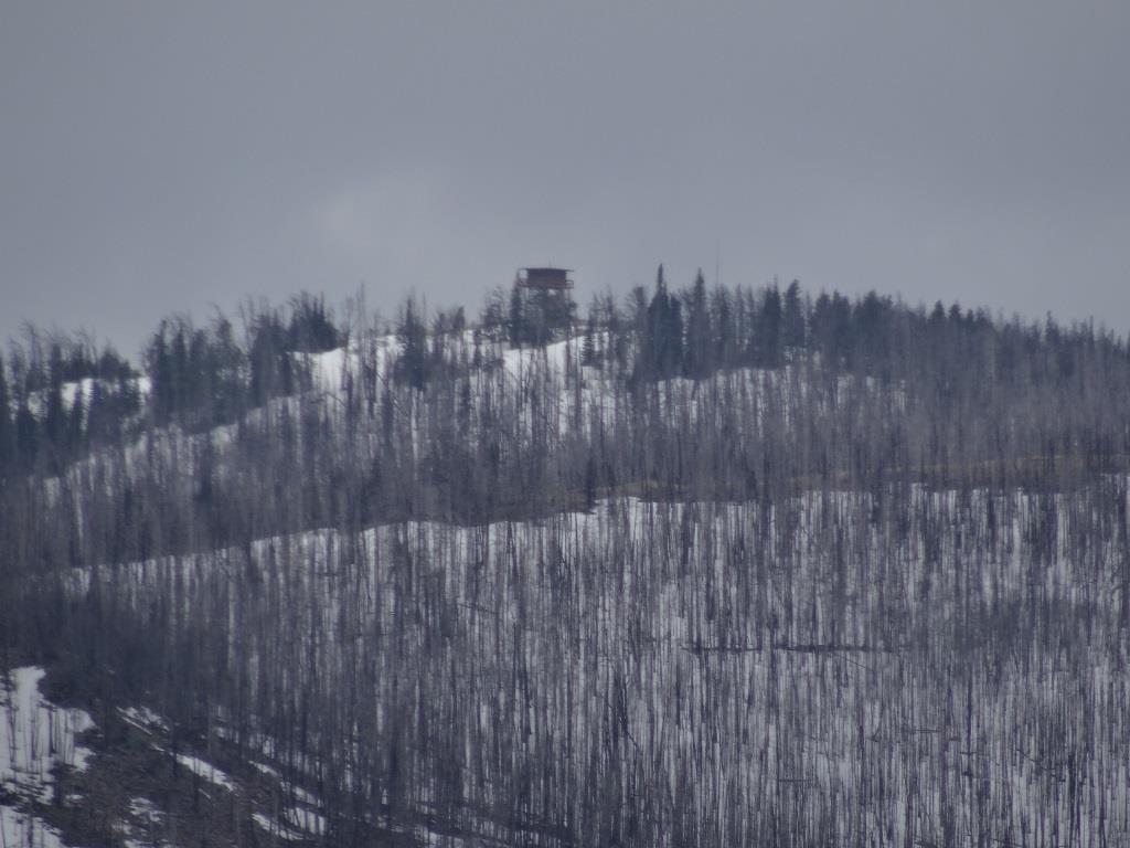
This is a pleasant, short hike that is accessible by most vehicles. The summit is an open, broad knoll that offers nice views in all directions. There is an exceptional profusion of Bitterroots (the Montana state flower) on the summit ridge, which should be spectacular for that brief period in late May when they bloom. We accessed the summit from the Fool Hen drainage on the North, but it should also be accessible from Gould Gulch to the south. There are lots of mine workings in the area, with the Jay Gould mine being one of the largest. It had over 12,000 feet of underground workings, including a mile of drainage tunnels that exit in Fool Hen Creek.
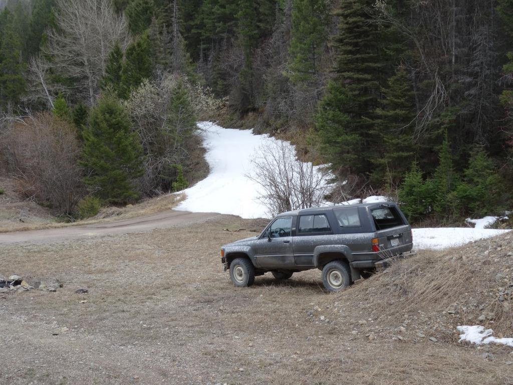
Exit Highway 279 north of Helena and take the gravel Stemple Pass road north. This road is open all year and is suitable for all vehicles, as is the Fool Hen Road that leads to the trailhead. Turn left after 5.9 miles onto the Fool Hen Road and follow it another 1.5 miles to a hairpin curve at some old mine workings. We were blocked by snow and began walking at this point, but the road continues another 1.1 miles to a saddle between Fool Hen and Gould Gulches that should make for an easy ascent. The elevation and mileage estimates are based upon hiking from this saddle. Ascend towards the summit and cross the fence from USFS to BLM property – the summit will be a short distance further along the ridge.