This is a nice spring hike on good trails. To get there from Missoula:
Take Mullan Road west from Reserve Street (near Walmart). Follow Mullan Road several miles, past the golf course, and turn left on Kona Ranch Road (marked by a “shooting range sign”). Follow Kona Ranch Road as it crosses the river, turns to dirt, and proceeds north. Follow this road 10-miles to the Albert Creek Road. Drive up the Albert Creek Road and park where the main road makes a sharp U-Turn and begins climbing the ridge to the North. The roads are all suitable for most vehicles.
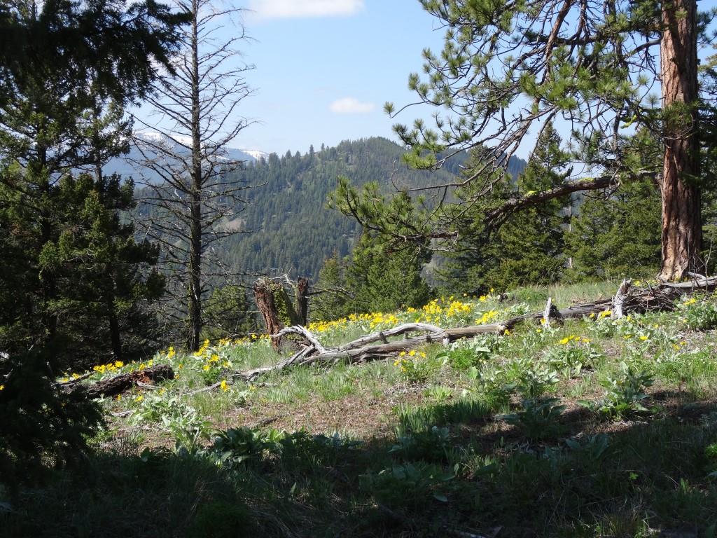
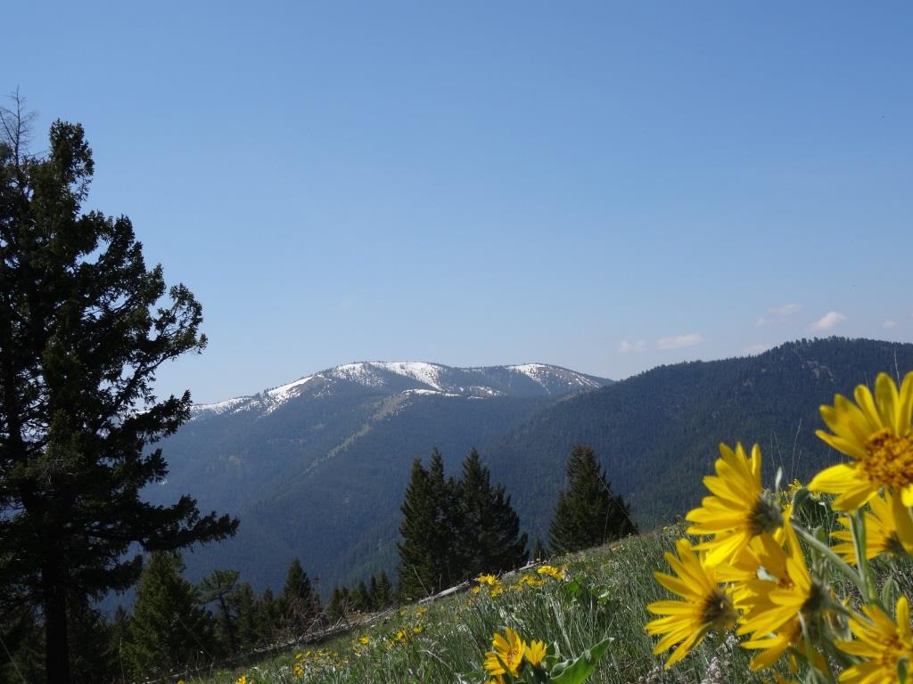
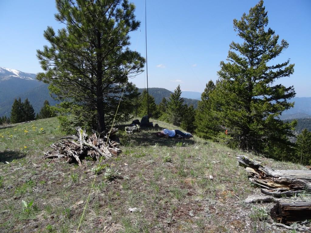
From the Parking area, wade across Albert Creek and turn right on the old logging road about 100-yards further along. Follow the logging road as it switchbacks up the ridgetop, from whence a foot trail heads west. The foot trail will continue westerly over a couple of false summits until it reaches the true summit. The summit has a couple of trees, but is mostly open with nice views.