(3.6 miles, +1,650 ft, -510 ft)
Doherty Mountain is a good early season summit. The hike is not difficult, but it does involve a bit of moderate bushwacking, as well as some up/down on the ridge traverse. It combines nicely with W7M/HB-120. To get there from Boulder: Drive 24.0 miles south on Hwy-69 (the Boulder-Cardwell Highway), then 4.2 miles SE on the Boulder-Cutoff dirt road. A well-defined 2-track heads west. It is not permissible to drive motorized vehicles on this 2-track, so park in the grassed pull-out. Follow this 2-track for 0.78 miles and keep your eyes open for the distinct (but fainter) road that dives across the gully to the North. Take this turn – it will keep you on public lands. Follow this 2-track North & then West 1.07 miles until there is an opportunity to follow another distinct, yet faint path back across the gully to the south where it rejoins the road that you began on. This will be just upstream from a small stock reservoir. The purpose of this “jog” off the initial road is to avoid some unmarked private land.
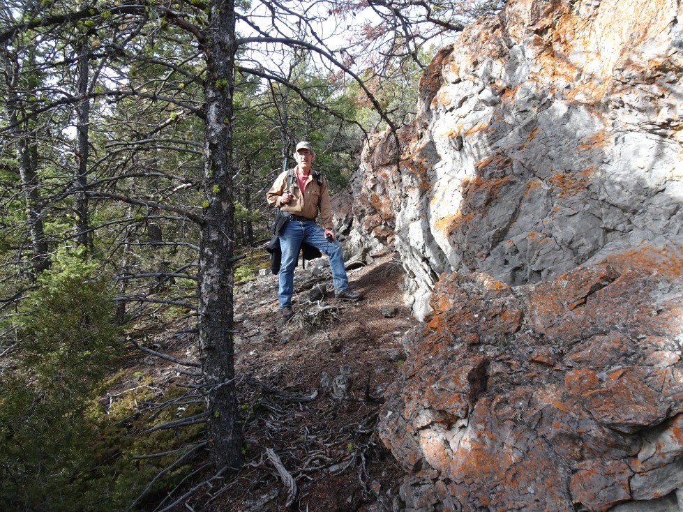
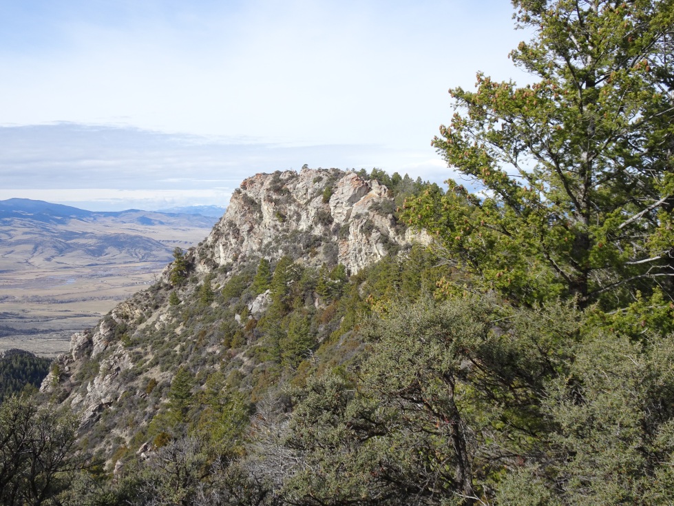
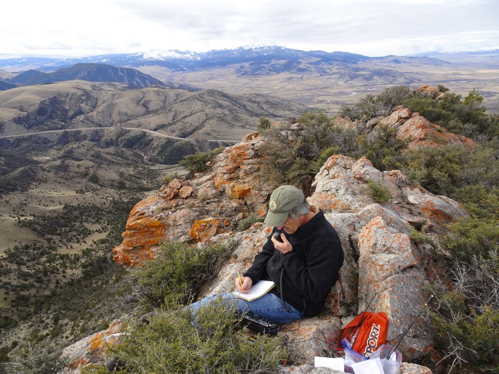
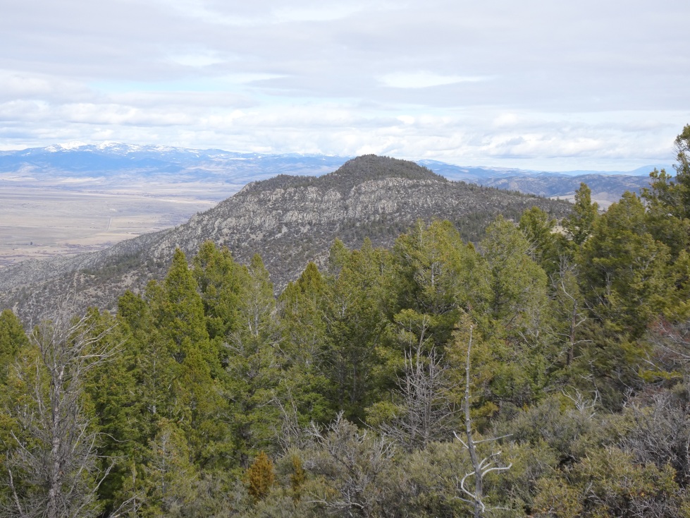
Follow the road to near the ridge-top, then continue off-trail to the ridge crest. Turn left (south) on the ridge crest & follow it towards the Doherty Ridge. Climb the Doherty Ridge trending west on game trails where convenient. Follow the ridge to the summit, staying to the North, south, or crest – as terrain allows.
Permits:
The first part of the hike is on State School Trust Lands & requires a “State Lands Recreational Use Permit” ($10 in 2017). Note that the $2 State Lands Permit that comes with hunting licenses is not adequate unless if you are combining your activation with some hunting. The permits can be purchased on-line from FWP.