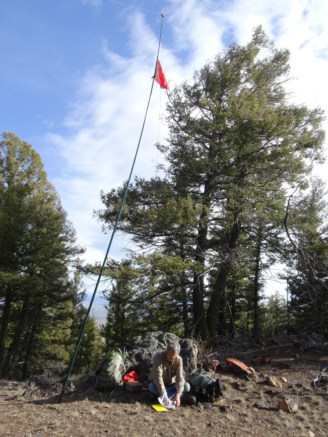
Summit
Trail Characteristics
APRS Coverage
Full two-way messaging
Cellular Provider
N/A
Voice Cellular Coverage
Don't know
Data Cellular Coverage
Don't know
0.7 mi, 820’
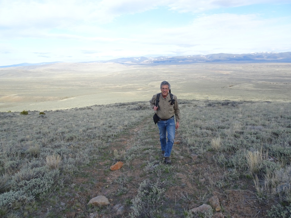
This is an easy hike into the edge of the Henneberry Ridge Wilderness Study Area.
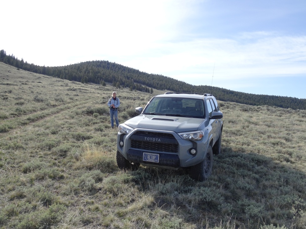
From Hwy 278 – drive 2.9 miles south on the Bannack Road to the Bannack turnoff (keep going straight). The road turns to gravel as it crosses Grasshopper Creek. Continue another 2.6 miles and turn off on the dirt track to the left. Drive 2.3 miles east on this road, taking a left at the “Y”. The road will continue over two stock ponds and eventually reach a stock tank. Turn right just past the stock tank and continue 0.6 miles south where a 2-track can be seen heading east up into the WSA. Park here and walk up the two-track to near the ridge, then bear right off trail for an easy bushwack to the summit.
Pictures