0.2 mi, +190 feet
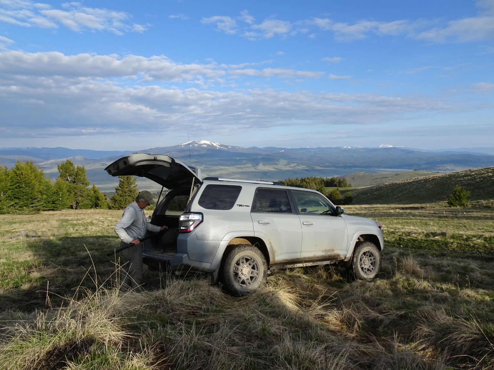
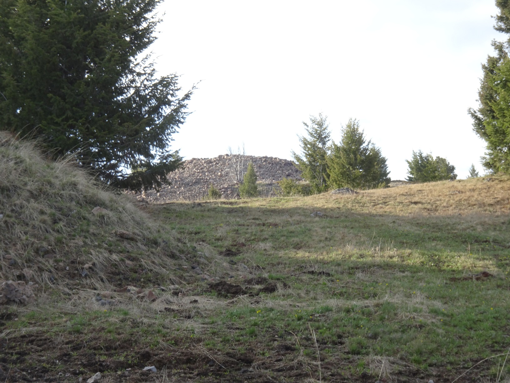
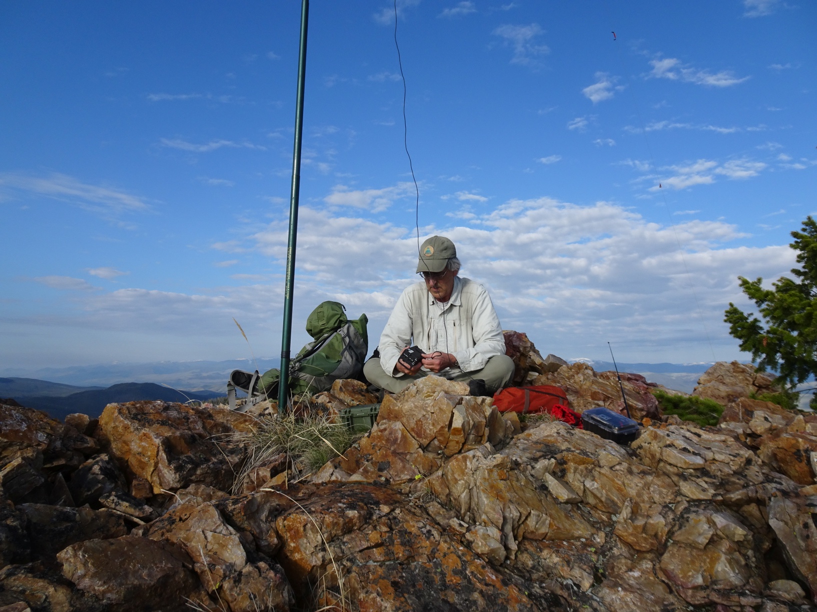
Exit I-15 south of Butte at the 111 Feely exit and drive south about 1-mile along the frontage road on the west side of the interstate until you reach route-84 (Highland Road). Follow Highland road 6.7 miles as it winds and climbs east into the hills. The road will eventually head south. Exit the road to the right (west) when it makes a 90-degree turn to the east. Follow this road (USFS 9459) 2.0 miles west and south as it climbs up the mountain and turn left at the intersection before it begins dropping back down. This final stretch of road will climb steeply to the summit saddle. Park at a convenient location and walk the short distance to the summit. The area is covered on the Beaverhead-Deerlodge (Central) USFS map and is closed to motorized use Oct. 15 - Dec.2. Highland Road is a good all-weather gravel road suitable for all vehicles. USFS 9459 is suitable for most vehicles, but high clearance and 4wd may be helpful. Activations before June-1 may have the potential for snowdrifts or muddy conditions. The summit is a small rockpile with good views.