4.3 mi, +2,800 feet; -80 feet
From the town of Augusta, drive west past Nilan Reservoir to the vicinity of the Benchmark Airport. The trailhead is near the south end of the airport runway 0.15 miles after crossing the bridge over Fairview Creek. The trail (Fairview Creek, TR-204) is clearly marked. Park in the wide area alongside the road just past the trailhead. The Benchmark road is a gravel road that is suitable for all vehicles.
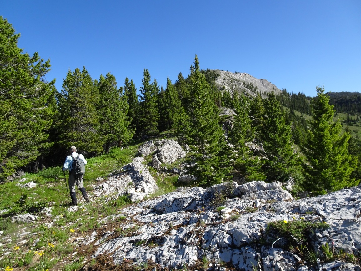
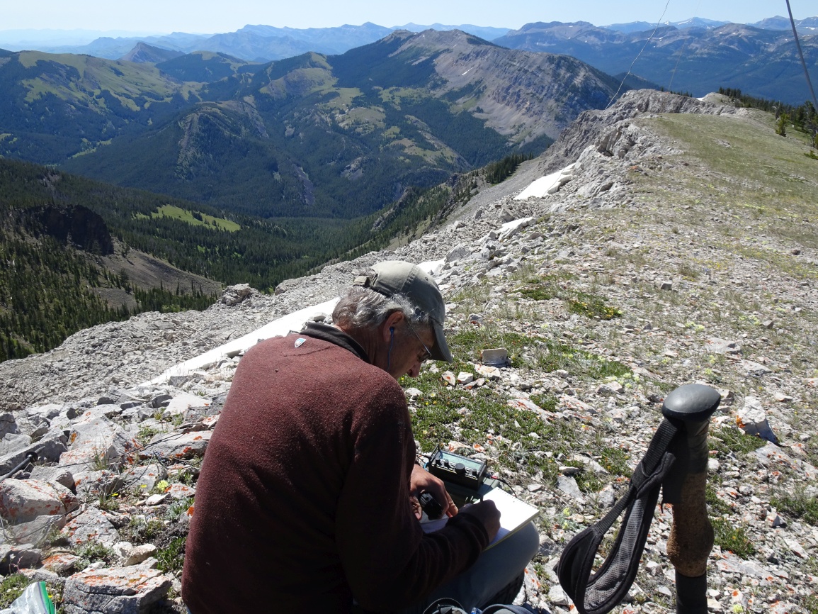
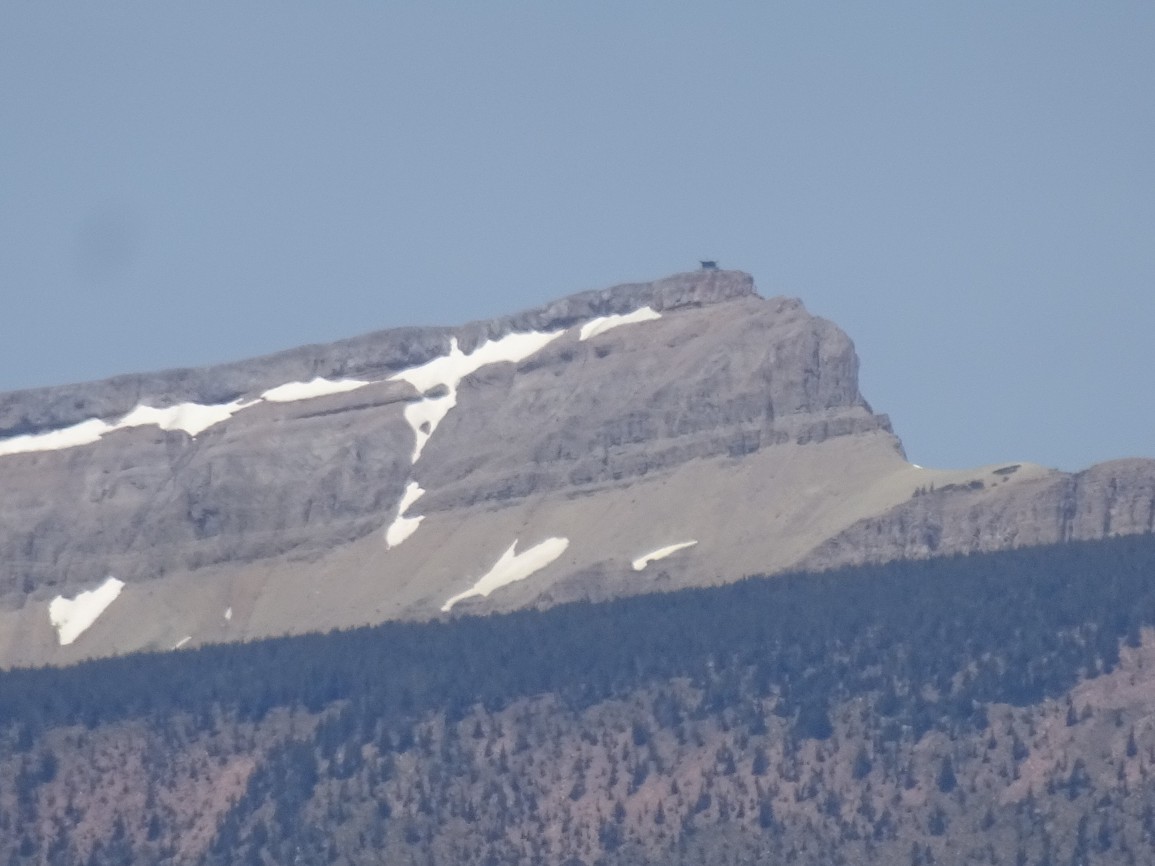
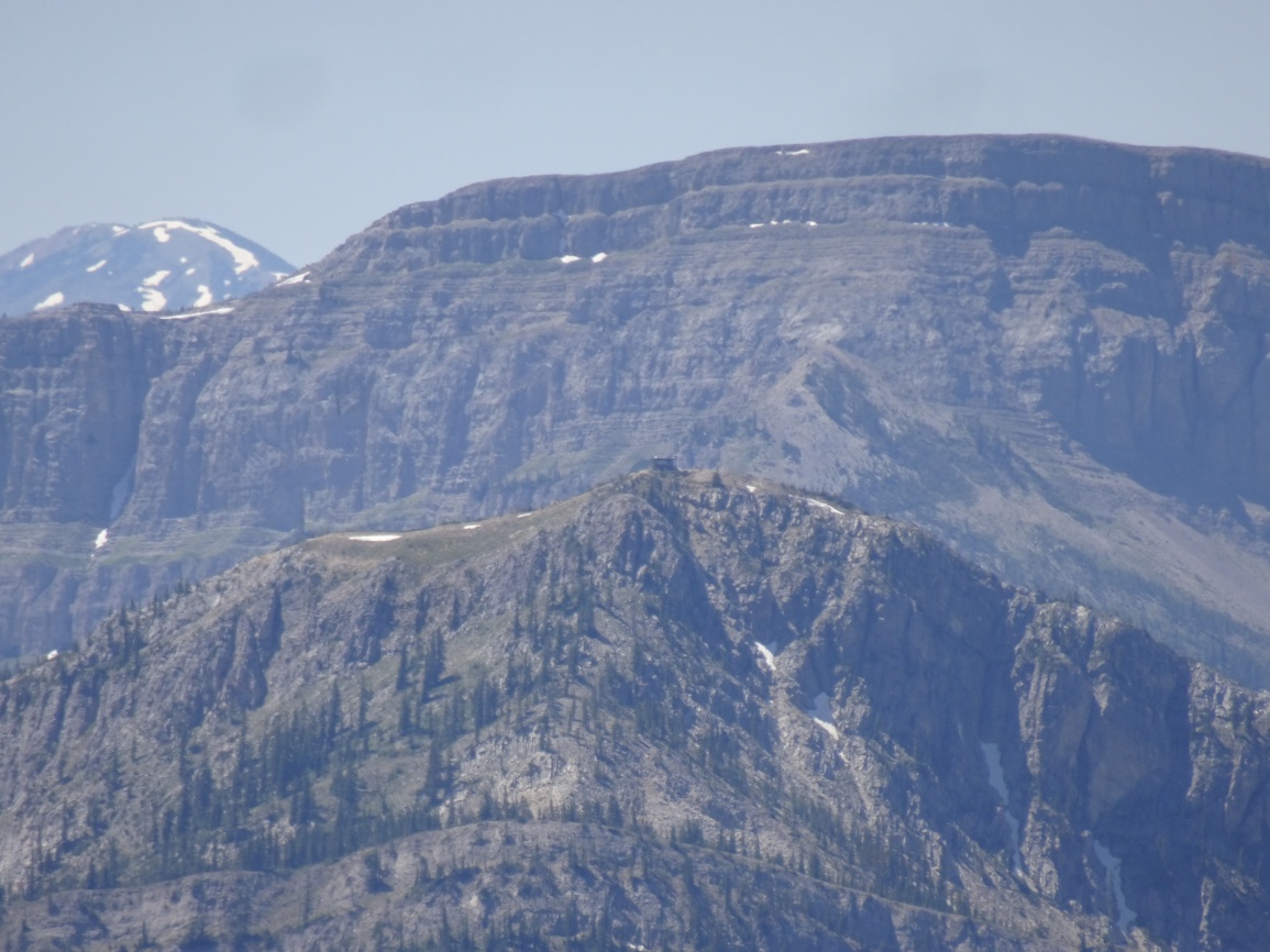
The trail is wide and heavily used. It will cross several (3 or 4) small streams that we were able to hop across. Leave the trail after about 1.5 miles when it approaches the south ridge of Renshaw Mountain. There is a sloping meadow on the west side of the ridge at this location that makes for pleasant hiking up the initial portions of the ridge. Follow the spine of the ridge to the summit, taking advantage of meadows where present. The ridge has an eastern cliff escarpment that builds from non-existent near the trail, to impassible near the summit. We found that the walking was easiest near the rounded crest of the ridge down low, after which we took advantage of the sloping meadows on the eastern side of the ridge during the mid-portion of the climb. It is necessary to be on the spine of the ridge for the remainder of the climb, as the eastern cliff escarpment is impassible. After the steep portion of the ridge ascent is complete, there only remains an idyllic 0.6 mile ridge walk to the USFS repeater on the summit.
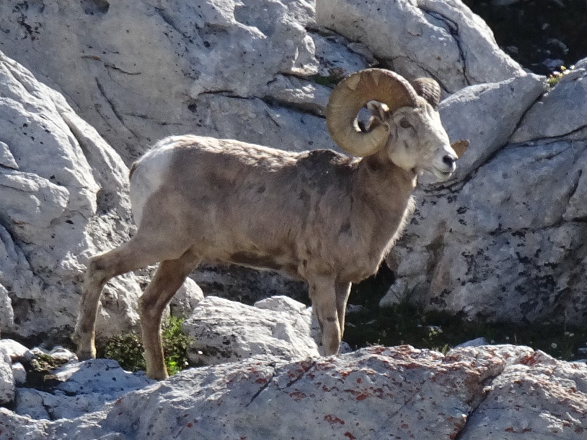
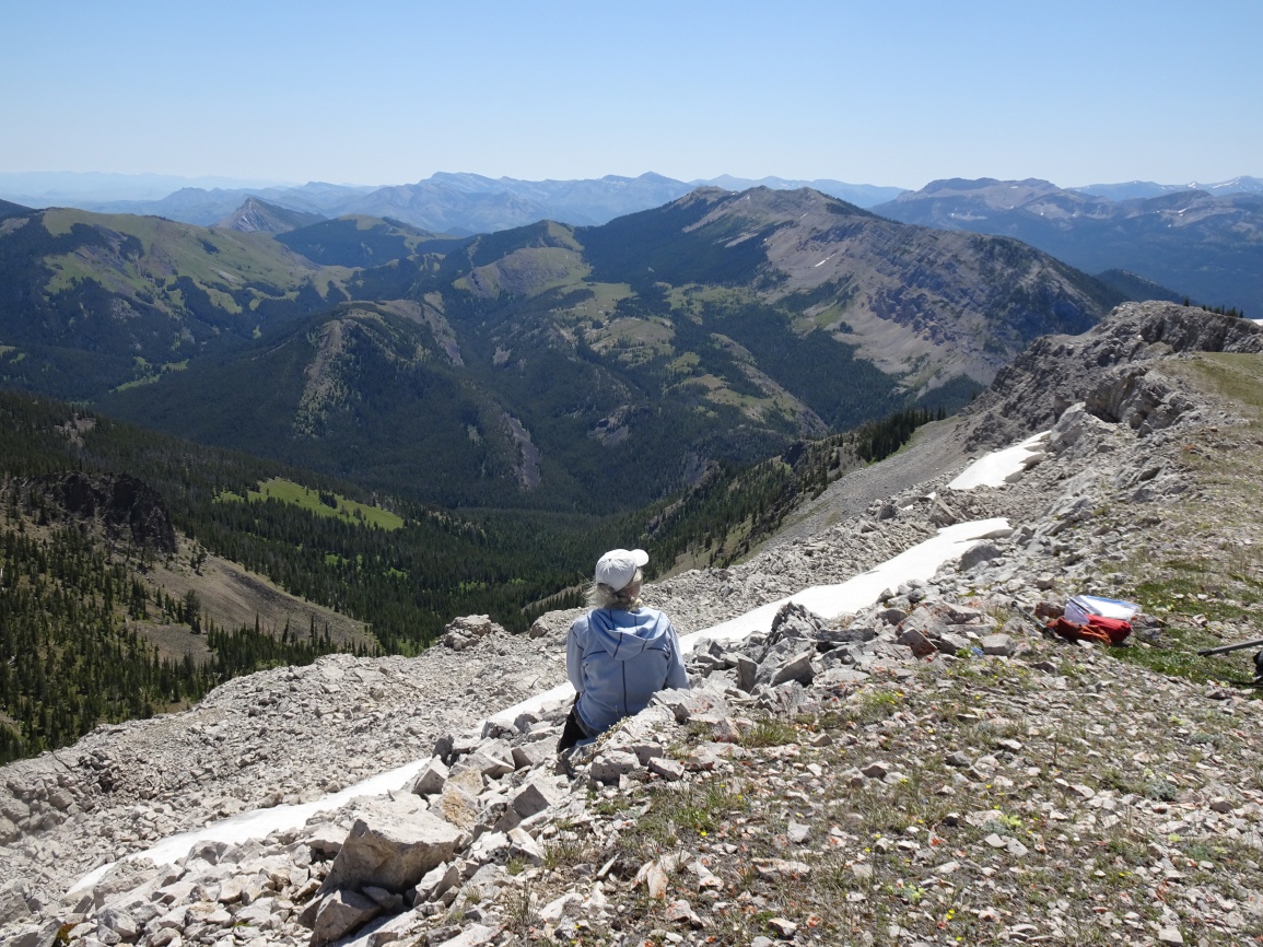
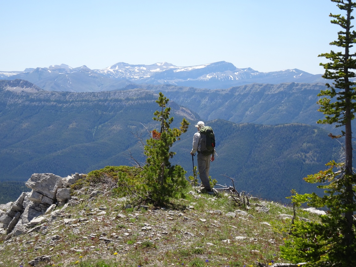
The summit views are extraordinary on a clear day. You can see deep into the Bob Marshall Wilderness and beyond to the Mission Mountains to the west. The Scapegoat Plateau and Sugarloaf Mountain dominate the Southwestern vistas, while the backside of the Rocky Mountain Front and the prairies beyond are to the east.