1.5 miles, +690 ft
The trailhead can be reached from either the Bernice exit on I-15, or the Galen exit on I-90 south of Deer Lodge. Both roads are suitable for all vehicles. These instructions are from I-90.
After exiting I-90 at Exit 197 (Galen), zero out your odometer and head east. The road immediately crosses the Clark Fork River. Turn left (north) on the East Side Road (Mile 0.9) and turn right (East) on the Dry Cottonwood Road (Mile-1.4). There is a road junction at Mile-2.0 – keep going straight (Southeast). At Mile 2.7 the road passes through a farm/log operation that infringes a bit into the roadway with log storage and equipment. Continue driving southeasterly on FS-85 past the road that turns off to the left at Mile-6.7 and continue to the abrupt “T” at Mile 7.3. Turn left at the “T” onto FS-8634 towards Four-Corners. The Trailhead is at Four Corners, which is a 3-way road junction located directly on the Continental Divide. There is a small parking area just northeast of the 3-way road junction.
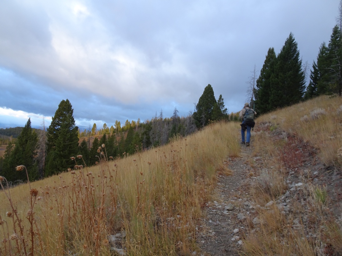
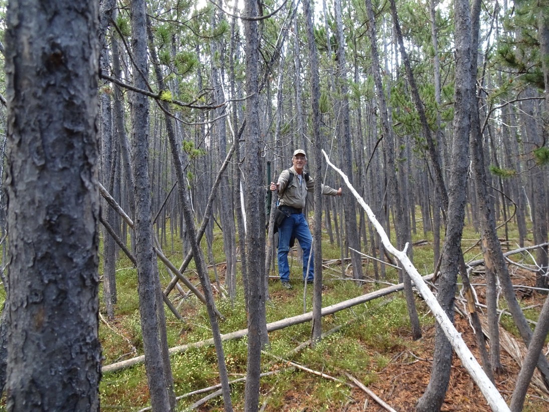
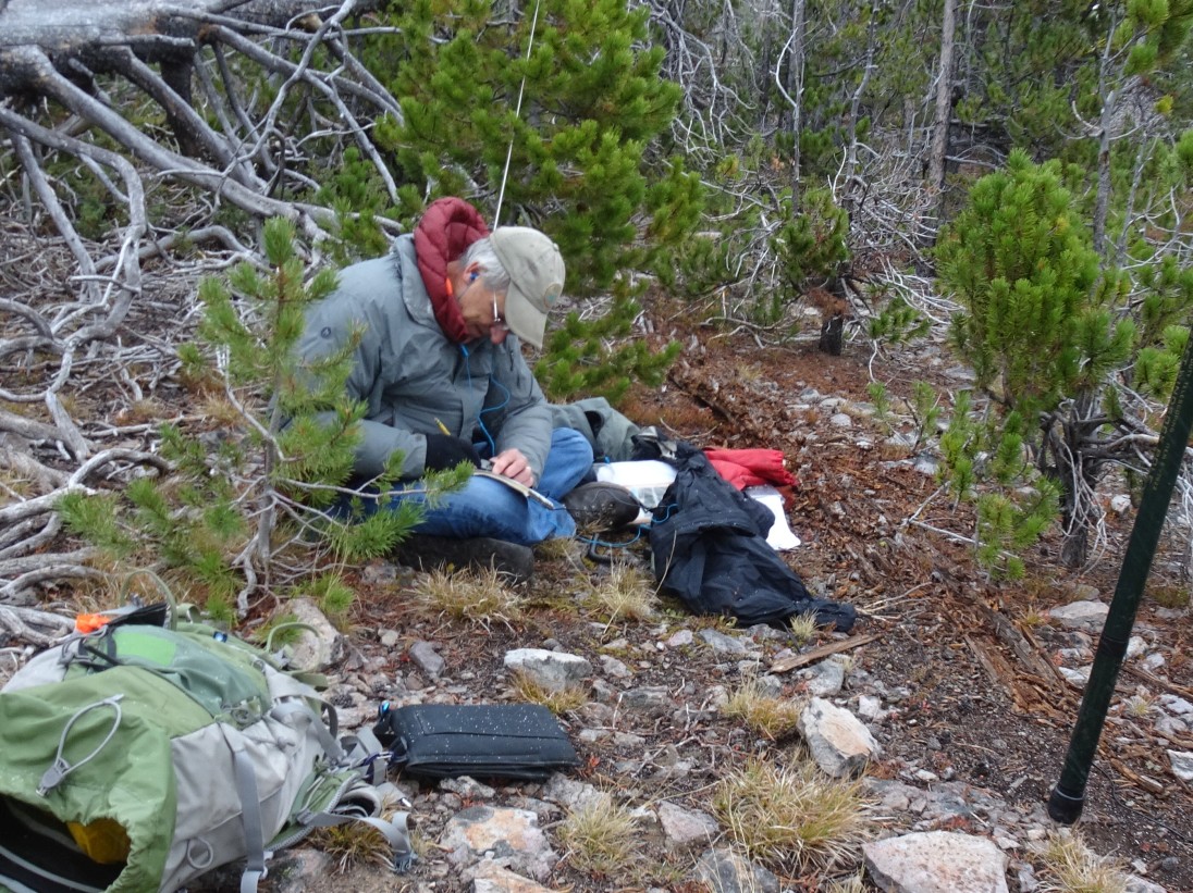
From the Parking Area, follow the very well-traveled Continental Divide Trail northwards until it begins to level out after about 1.3 miles. Turn off the trail here and bushwack about 0.2 miles through the doghair lodgepole to the summit. There is not much deadfall, so the going isn’t particularly difficult, but it may be a bit easier if you stay to the south where there is some taller timber. There is a small open area at the summit that has some limited views.