18.7-miles, +5,750 ft; -1,590 ft; From N. Fork Trailhead
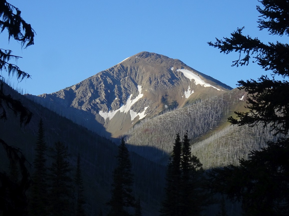
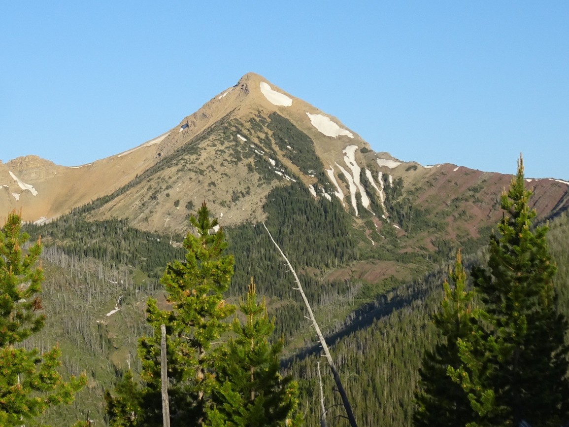
Evans Peak is an iconic mountain that is the 4th highest peak in Lewis and Clark County. I activated it as the fifth summit on a multi-day backpacking trip that went up Lake Creek, down Canyon Creek, up the Dry Fork & Cabin Creek, and then down Dobrota Creek and the North Fork of the Blackfoot back to the car. This route description is the reverse of the final leg, which is the most efficient approach.
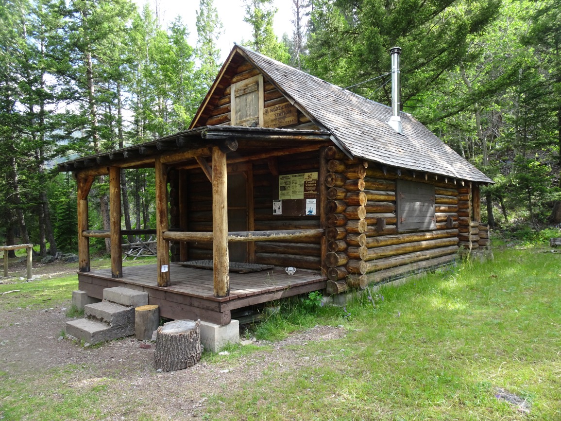
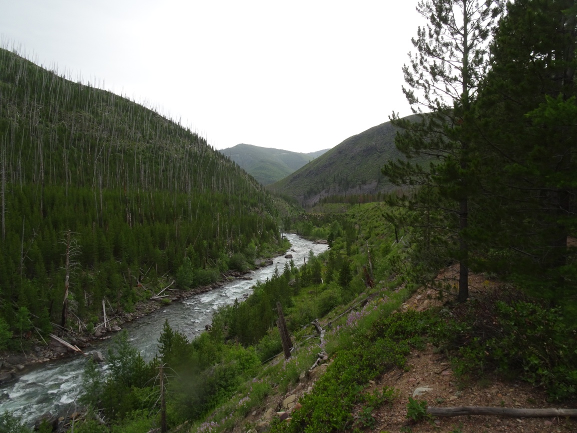
Hike north from the N. Fork Trailhead. We turned left (west) on Tr. 061 (Lake Creek Trail) after about 0.6 miles to begin our big loop, but it is more direct to continue up the North Fork of the Blackfoot. Cross the two pack bridges, and turn right (North) after the North Fork Cabin to head up past the falls. Turn left at the falls and continue following the North Fork trail north as it heads towards the Carmichael cabin. The trail is cut into a sidehill for most of the distance, but it levels out on a sagebrush plain as it approaches the Carmichael area. This mini-plain is about 13.5 miles from the trailhead and makes a good basecamp for the Evans climb. The trail up the North Fork is heavily used and gets cleared to just beyond the falls early in the season, and to Carmichael not long thereafter.
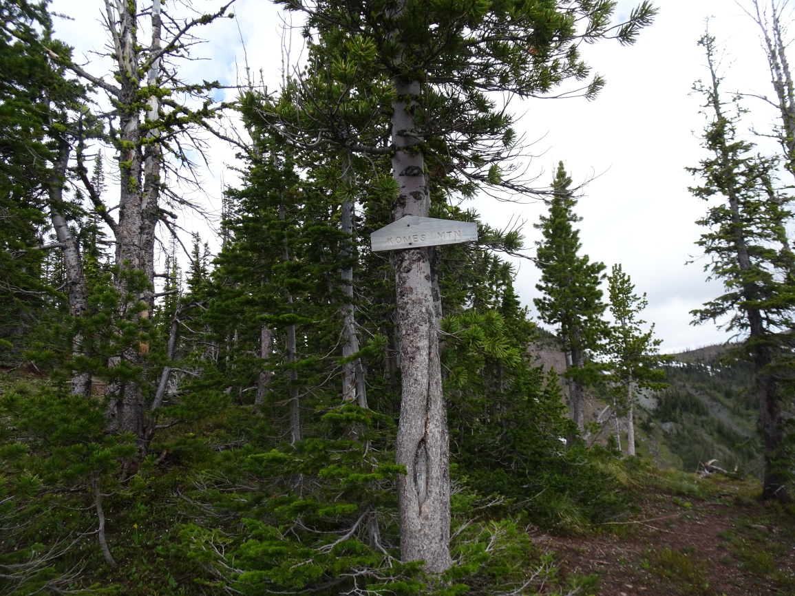
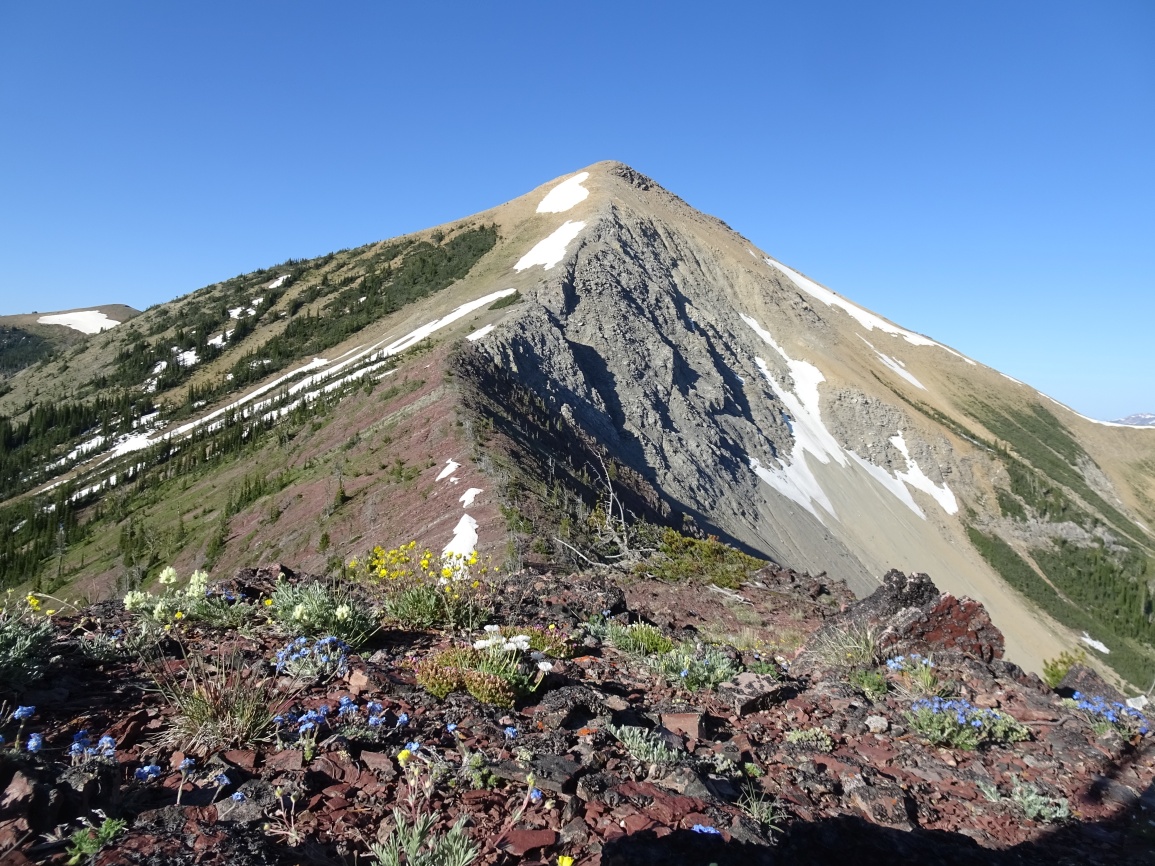
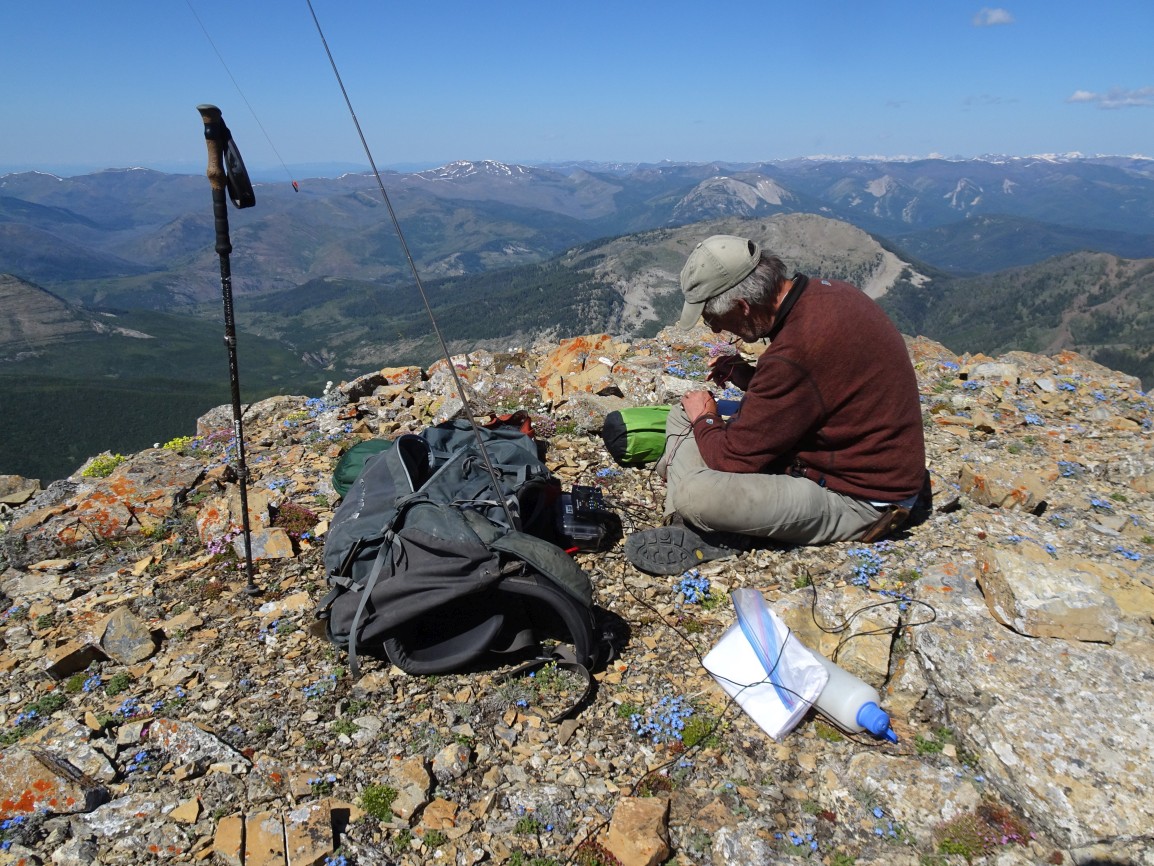
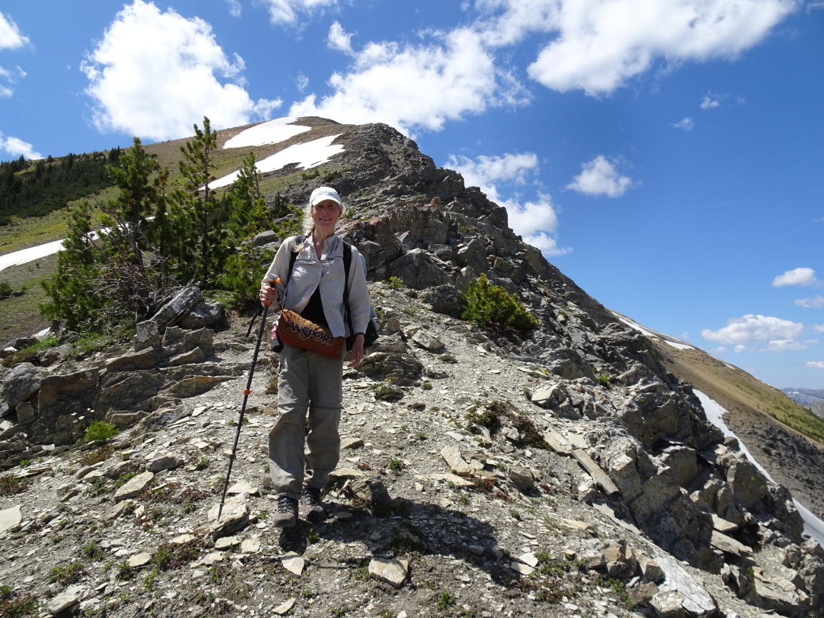
The Evans Peak trail is very well defined and leaves the main North Fork trail about 400-feet before (south) the North Fork ford. The trail has a well-established tread and is not heavily used, but it is periodically cleared by either hunters or the USFS so it does not suffer from excessive amounts of deadfall. Much of the early portions of the hike is in dense regrowth from the 1988 Canyon Creek burn, but the trail soon contours up through steep meadows that provide beautiful views of the Tobacco Valley, Cooney Creek, and the Carmichael area. The trail does not climb over the 7,400-foot ridgetop sub-summit as shown on the 7.5’ quadrangle, but instead takes a kinder route to the south between the 7,400’ contour and the nearby 7,388 ridgetop sub-summit. It is from this saddle that Evans Peak is first visible. Continue following the trail as it contours around the 7,400’ sub-summit to reach the gentle east-west subalpine ridge that leads towards the 8,348 sub-summit on the Evans ridge. There is a non-USFS “Komes Mtn” sign partway up the ascent to pk 8,348 that appears to mark a trail junction – perhaps to the nice-looking bench that lies below to the northwest in the Dobrota Creek basin, or perhaps to the Dobrota – Cabin Creek trail. We continued up towards pk 8,348, but contoured around its south side a bit to reach the Evans ridge. Once on the ridge, you can either go left to Evans Peak or right to W7M/CL-195. The hike along the ridge to the Evans Peak summit is fine & not as steep as it looks – there are no particular difficulties. We saw recent grizzly tracks in the dried mud near the summit.