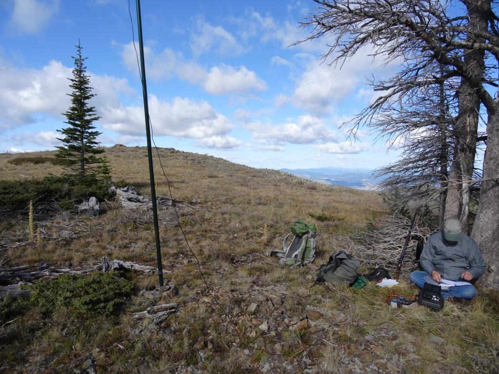
0.5-miles, +435 ft; from 4wd Approach
Take the east frontage road south from the Jefferson City I-15 exit for 0.8 miles and turn left (east) on the Tizer Basin / Tizer Gardens /Prickly Pear road. The road is good for a while, but eventually turns into a 4wd road. The 4wd portion is not difficult for most 4wds, but reasonable clearance is necessary, and low-range is advisable. After 8.3 miles, the road will reach “4-corners” (which is a 4-way junction that is on the edge of a sloping meadow). Either park here (there is lots of room) and begin hiking, or turn left at 4-Corners and try to find somewhere to park off the road further up – the road is too narrow to park alongside it. I was able to find a spot in the meadow where I could back up the hill & get off the road. I then hiked to the summit along the edge of the timber.