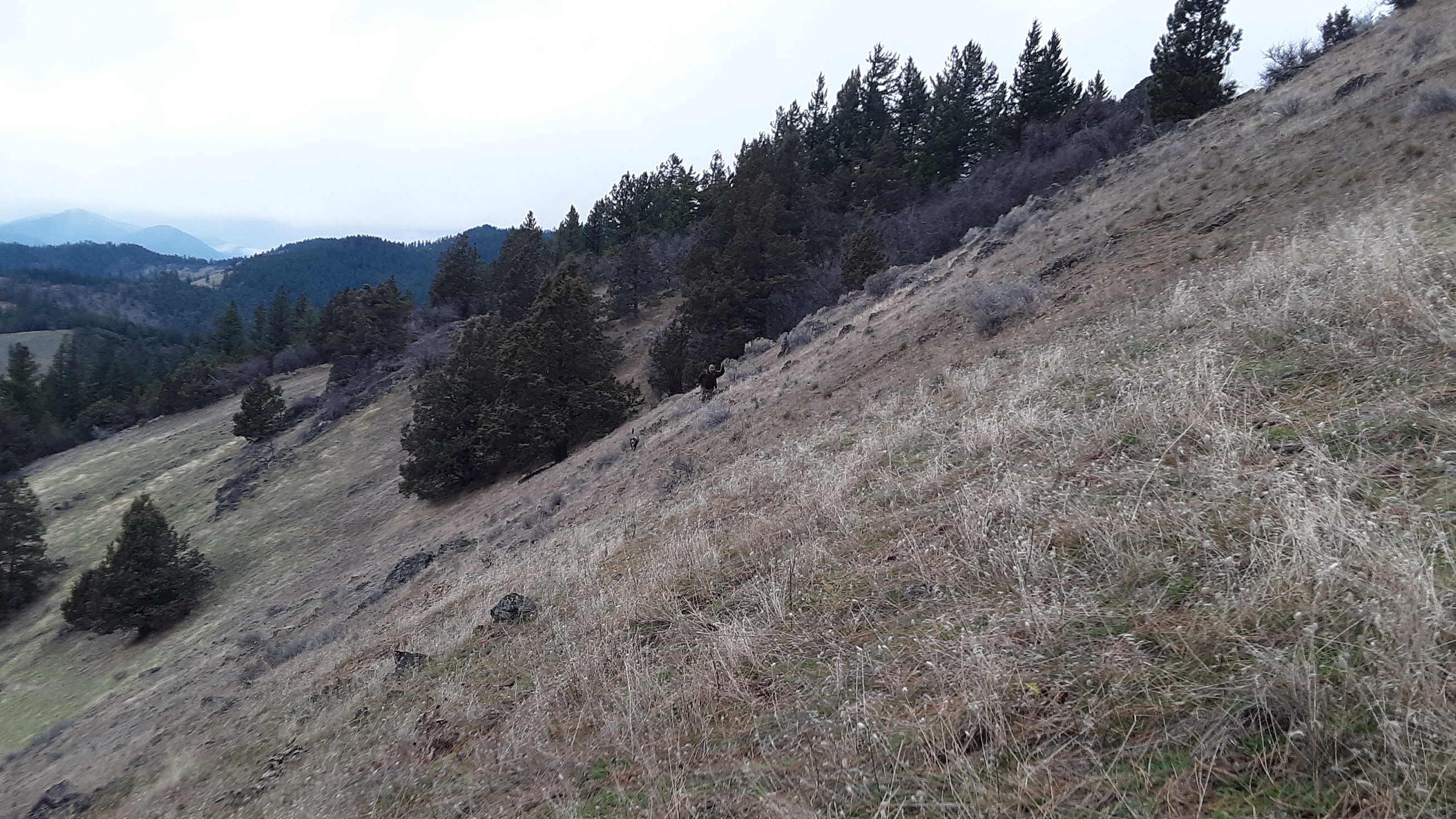
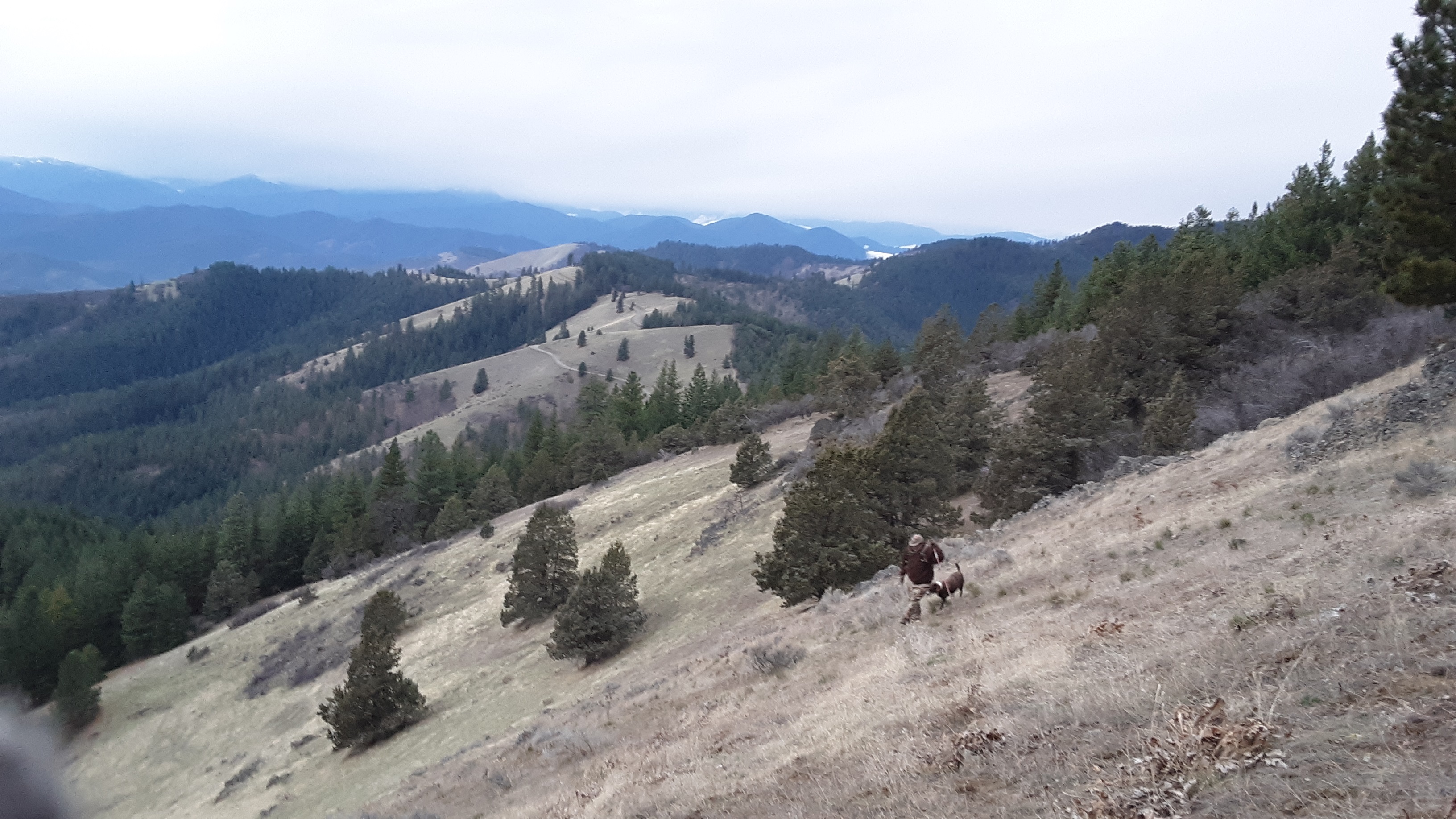
Point Mountain has a pretty good trail most of the way. It is mainly a steep bald mountainside especially for the last few hundred yards of the climb. I do not recommend short cutting, the brush is too thick where it gets tempting because you are oh-so-close to the top. This is also an area known for bear. My first trip up I got growled at by something in the thicket ?? Turned around and kept to trail...
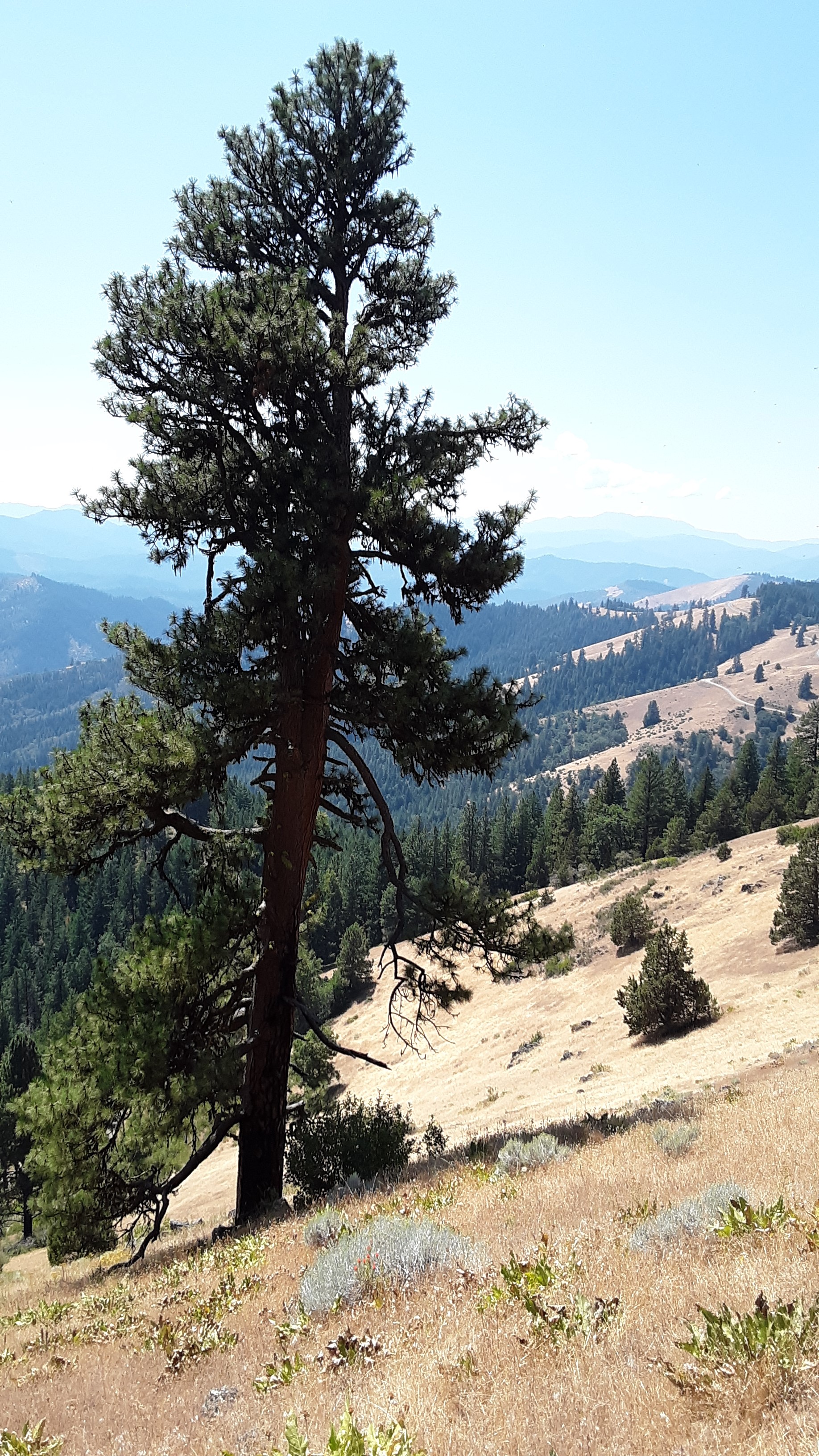
Trail takes off from BLM 39-1-18 at the S-SE ridge of mountain. There is an open area which is beside a gated road to private property, don't block. In the summer during extreme fire season, it is harder to find a place to park since there is a lot of dry tall grass. This is a well defined trail used by bikes and motorcycle, you will get pretty near the summit when it will drop downhill a ways, then fairly level. I use a very large Ponderosa Pine in the center of the bald mountainside as my marker to start zigzaging up off trail to the summit(see pics). Point is always a challenge for me but I have done it 3 times now. Short but steep, about 500-600ft gain.
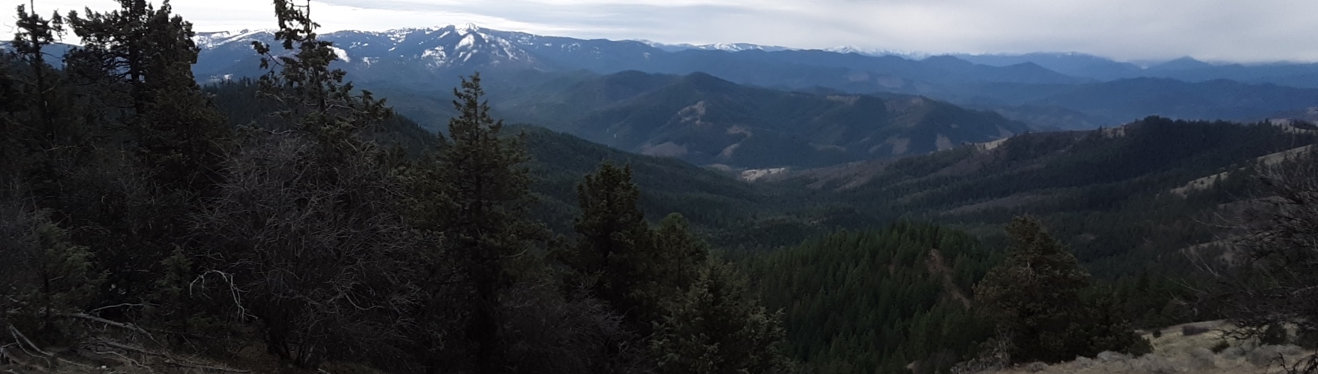
If you are doing Point, I recommend also doing either Bald or Anderson Butte in the same day.
Point Mountain can be accessed via a few different routes. From Ashland I take Wagner Creek Rd, then turn right at what locals call the Anderson Crossover or Cutoff Rd at about mile marker 7.5, maps may name it Brickpile Rd. It turns to BLM 39-1-18. You can also come from Anderson Creek Rd., I have exited this route, or you can even come from Anderson Butte Rd. also. The latter option might be better if coming from the north. Anderson Butte Rd and Anderson Creek Rd are going to be friendlier for traveling in winter. 39-1-18 from the Wagner Creek side is usually snowed in most of winter.
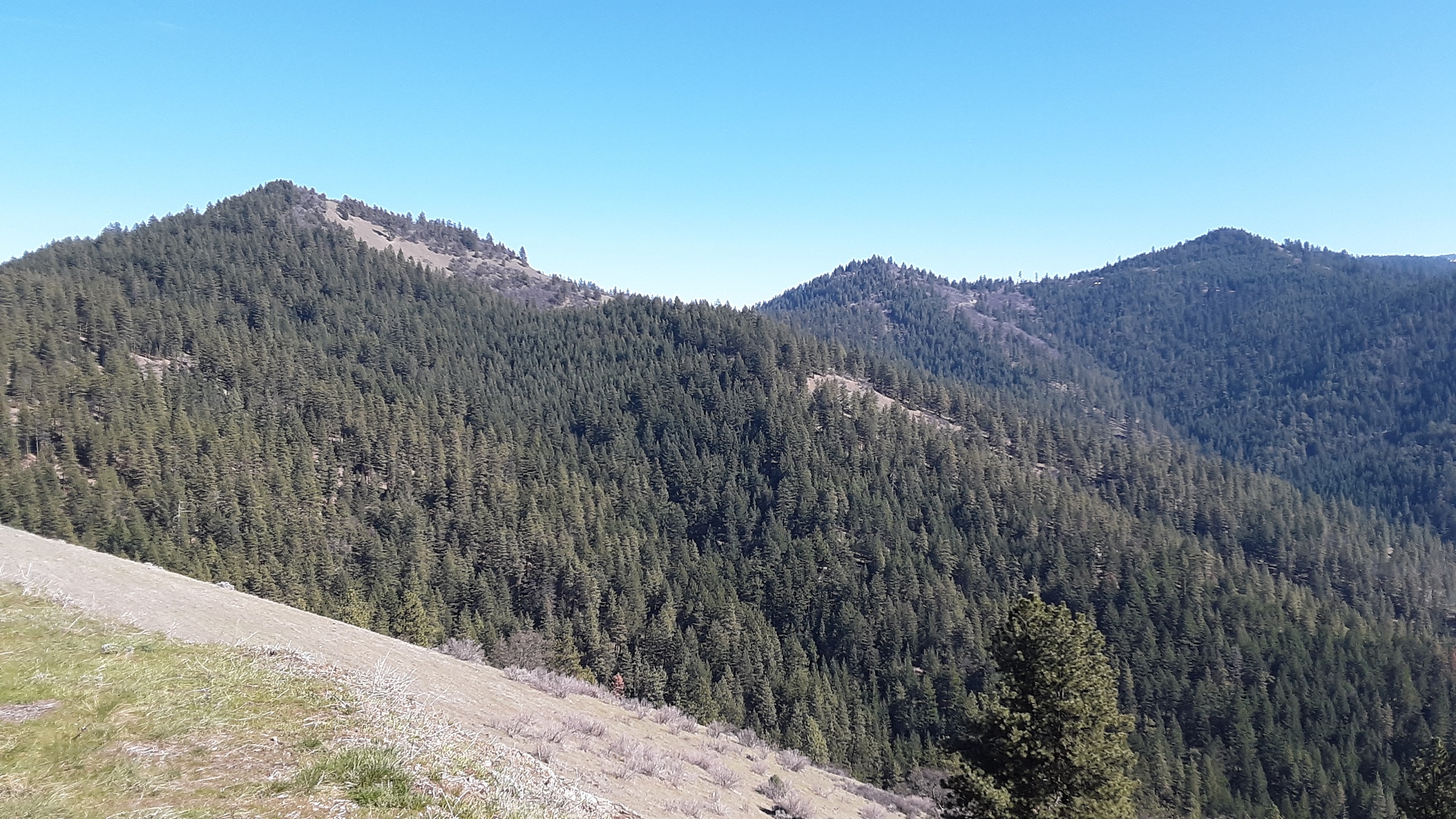
Pics from a couple different trips