Wagner Butte is a harder hike mainly due to distance, but is at the top of my list of favorites. It will be a good 10 mile hike round trip with about 2200' gain, if using the trail. (SEE UPDATE at bottom for alternate route).Wagner is part of our family cattle range and being familiar with the area we took a short cut through some NF up past the trailhead, to knock a couple miles and a few hundred feet elevation off the hike. It wasn't part of our daily plan to activate, we were checking on a natural spring (Cold Spring) and getting a feel for if a shortcut could be possible in the future. I took my new MTR3B and qrp gear with me to test out and “just in case” we reached the top. We hiked through the forest then merged onto the trail about midway, and then took the trail the rest of the way up, so I cannot offer a lot of feedback for the trail as a whole, other than it is a very established, used trail. There is a combination of nice shaded wooded areas, sage brush, open meadows, and thick spring groves along the way. It is a beautiful hike.
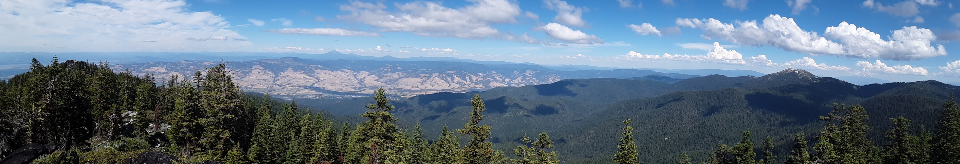
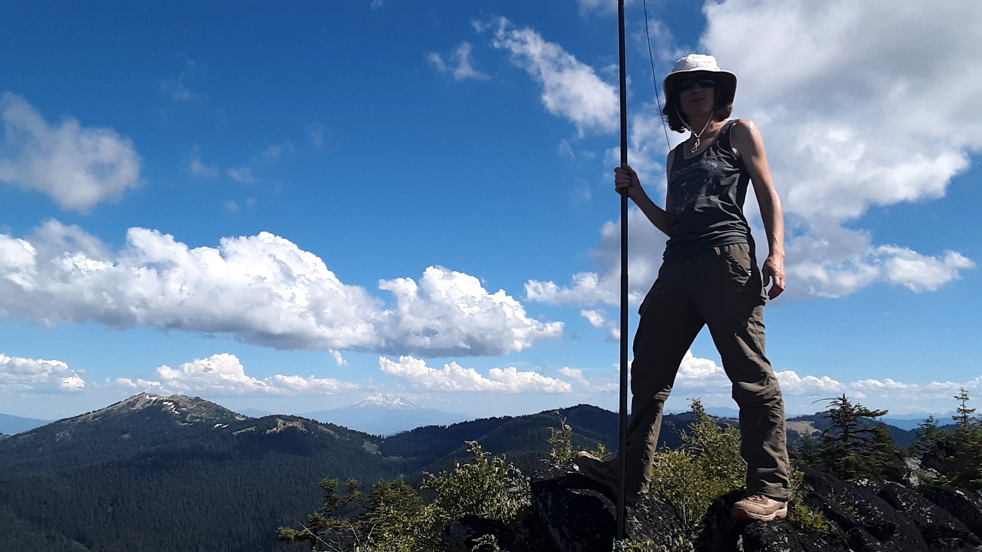
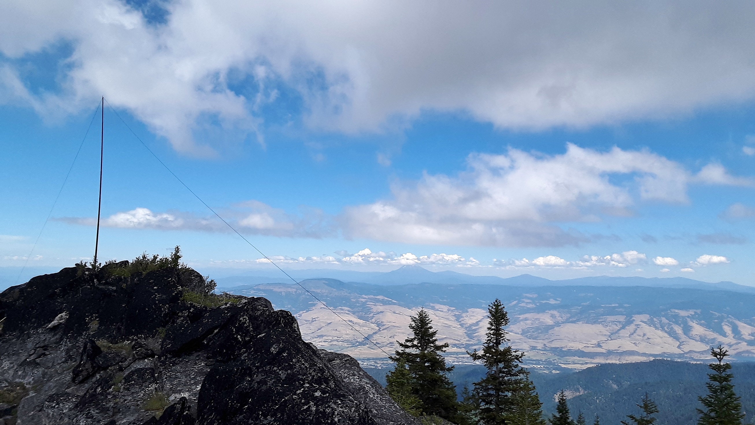
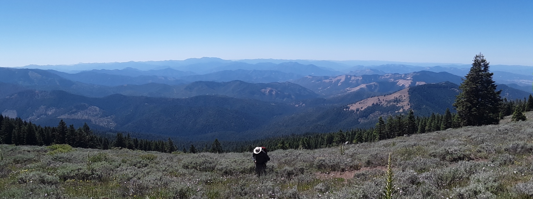
When the trail reaches the top of the ridge, the summit is to the right and very rocky. Off to the left is the path to what used to be a lookout, but it is not in the contour line (I did not explore this area). I set up a pole in the rocks and made some good contacts until I got tired of the ants biting me! Coming back down, we got low on water and took advantage of Cold Spring at our own discretion, go for highest pipe if you choose (there is an old green, unused water trough near this spring). The available water was handy and we did not get sick. Spectacular views of the Rogue Valley, Applegate, Siskiyous, Grizzly Peak, Mt Ashland, Mt Shasta, etc. We hiked in memory of Hap, my father in law, who re-cut and reestablished this historic trail for range work by horse many years ago, but I had never been up it. I hope to make this a regular.
Follow road maps up Wagner Creek Road from Talent, keep left at cattle guard to NF Rd 22. Large parking area opposite trailhead on right.
2020 July UPDATE:
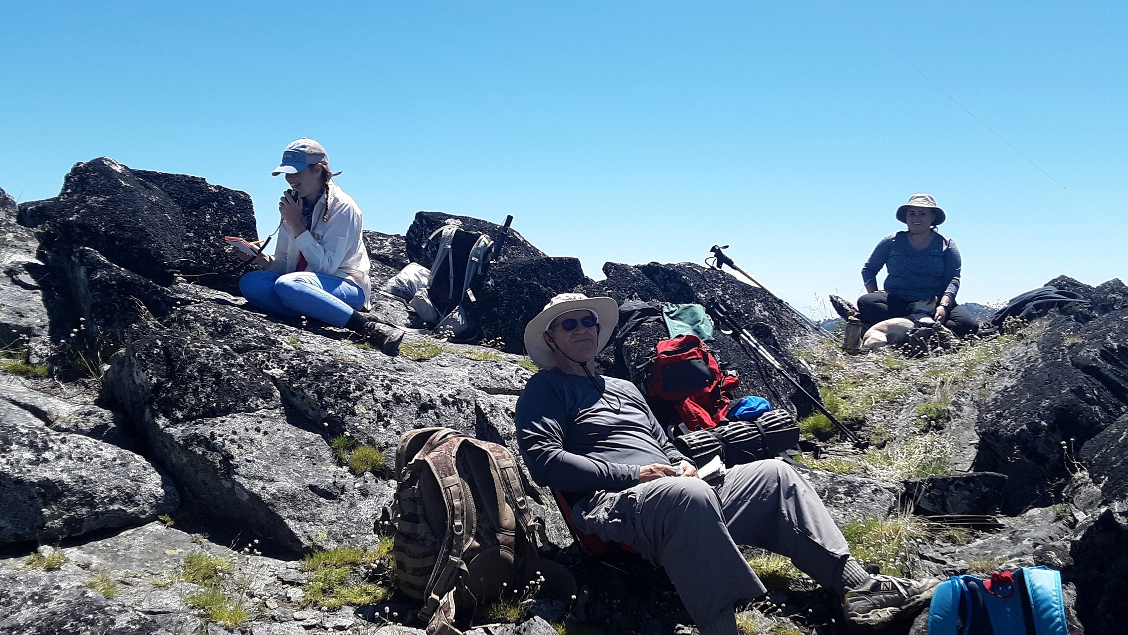
This year I went with a group of friends including K7GT and Kj7GFN to do Mcdonald Peak )CS-030)and Wagner Butte but we started at the Mcdonald Peak trailhead and took Split Rock Trail all the way to where it intersects with Wagner Butte Trail and Horn Gap Trail, and finished by taking Wagner Butte Trail up near summit, then it takes a bit of cross country to get to the activation zone. We left a vehicle at the 22 RD near the bottom of Wagner to come back to when we hiked off of Wagner, then Joell took me back up to McDonald to get my vehicle when we finished. We hiked the last of the trip down off trail through RRNF as Joell and I are familiar with this route.
Taking Split Rock Trail eliminates a significant amount of elevation gain and is a fantastic area to hike. The whole area was so colorful and fantastic with wildflowers. Probably the most beautiful hike I have done so far. Split Rock is shaded, moderate ups and downs, a few tricky rocky spots. There are a couple spots that the Split Rock trail is not cut well but basically stay on ridge line heading for Wagner Glades Gap and you will do fine. There are rock cairns along some of the questionable areas hikers have put in to mark the path. Our total hike was 10 miles. So not really different than taking Wagner trail but a lot less climb starting at Mcdonald. If you have to hike Split Rock back to your vehicle I am guessing it would be about 12 miles total. I highly recommend this hike especially with a partner, but the length may not be for everyone.