Buck is pretty much a drive up summit if you have the right vehicle. It is one I pretty much just do because I am near and its 6 points, nothing hugely spectacular. Maybe nice if looking to do a shaded one during the summer. There are 2 peaks to the summit that are both in the activation zone. I have always gone to the one the SOTA marker is on but the other I think may offer view? I'll have to remember that for next year.
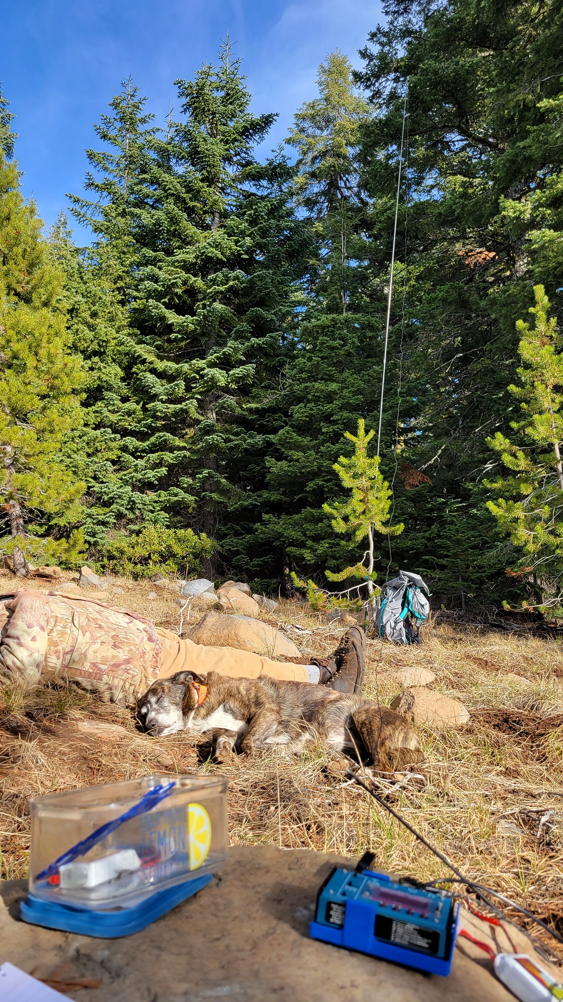
Treed area, pretty flat, plenty of area to operate.
You can either come from Keno Access Rd and take Rd 38-6E-32 then take a left on 39-6E-7.2 then right on 39-6E-20. Last bit may be too much for some but it is a short hike if you park below. (I don't know if these roads are marked well, if you need a screenshot of the path let me know).
Or you can also come from the hwy 66 side, East Buck Mt Rd, 40-6E-40. It takes off from 66 at Hayden Mountain summit.
de AG7GP
I added a screenshot for a visual of the route I take to go to both Buck and Surveyor. There are many roads up there, some others may get you from A to B but this is what I am familiar with.