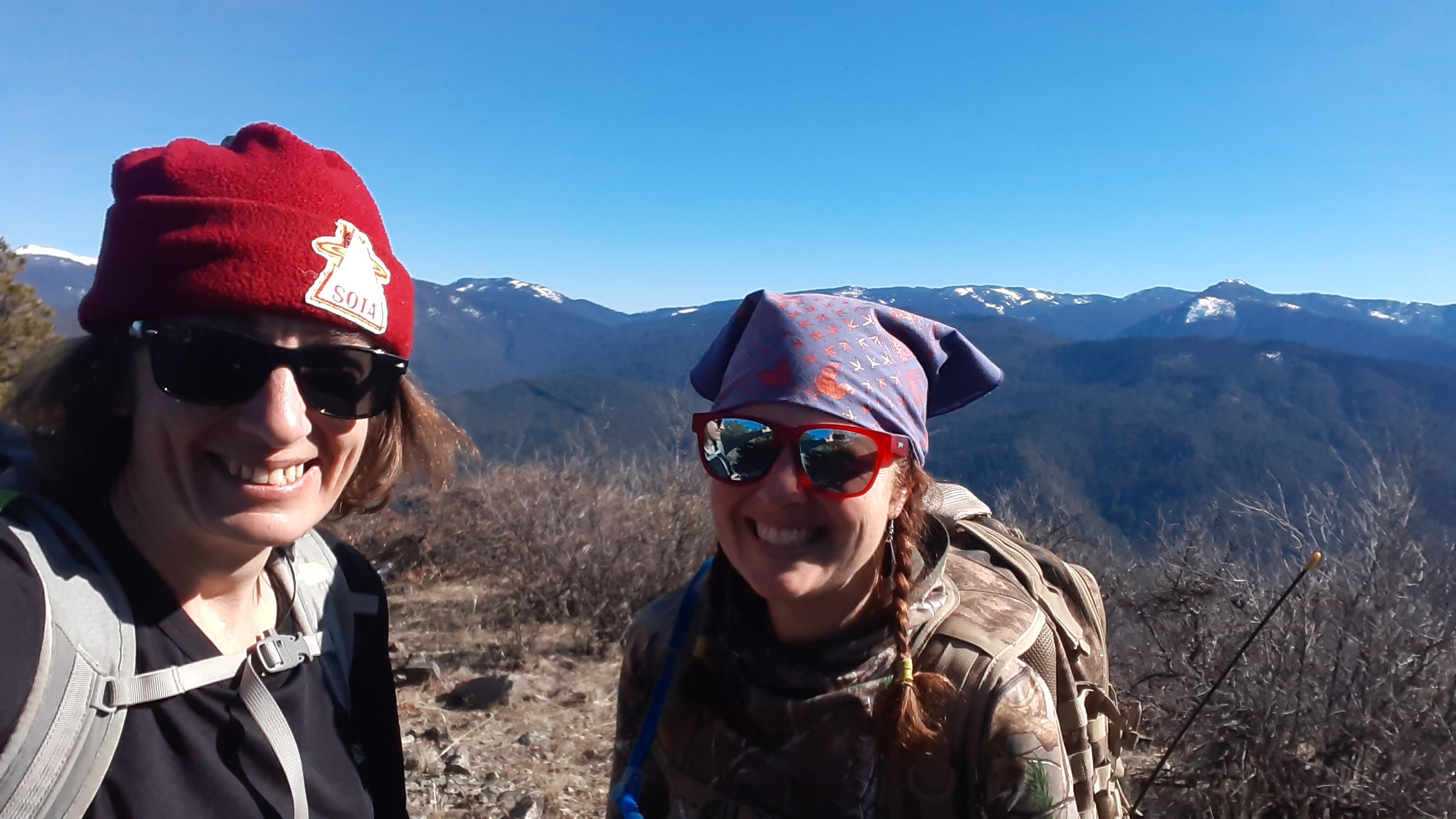
Little Grayback has been another summit I have been eyeing for a while as I am slowly getting familiar with this area around Applegate Lake. I always looked at approaching it from the westside, near the lake but looking closer and after doing neighboring Baldy Peak and having no snow issues, I noticed that the eastside, Upper Little Grayback TH, looked much shorter and approachable. This is FS trail #921. KJ7GFN, Joell, and I did our planning for this pretty much the day before, both leaving from our off grid locations Sunday morning. Kind of interesting that pretty much all of our coordination was also done via radio not phone, etc.
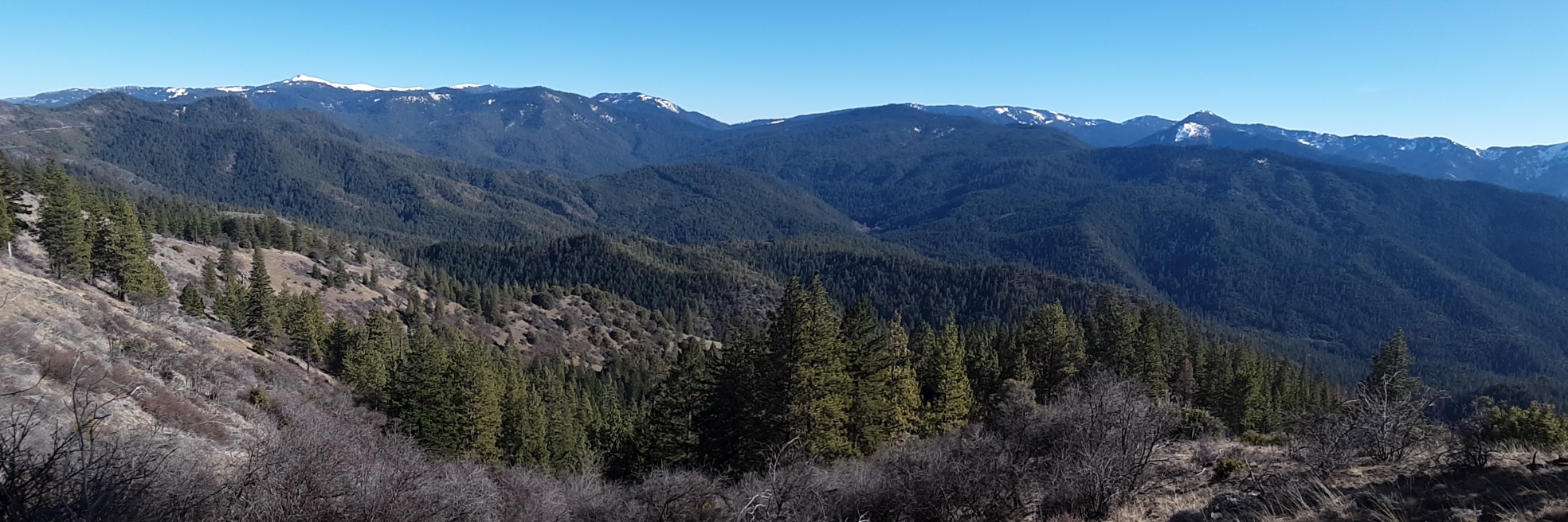
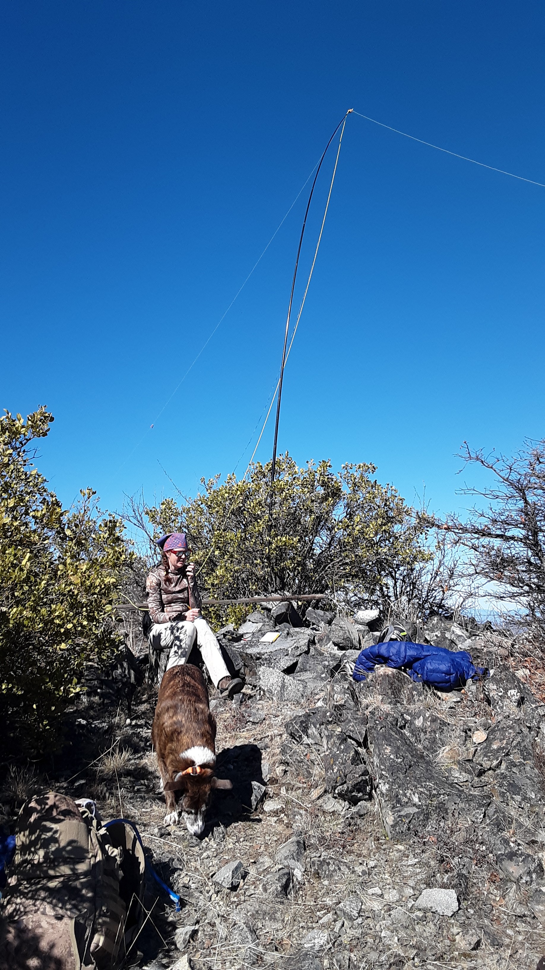
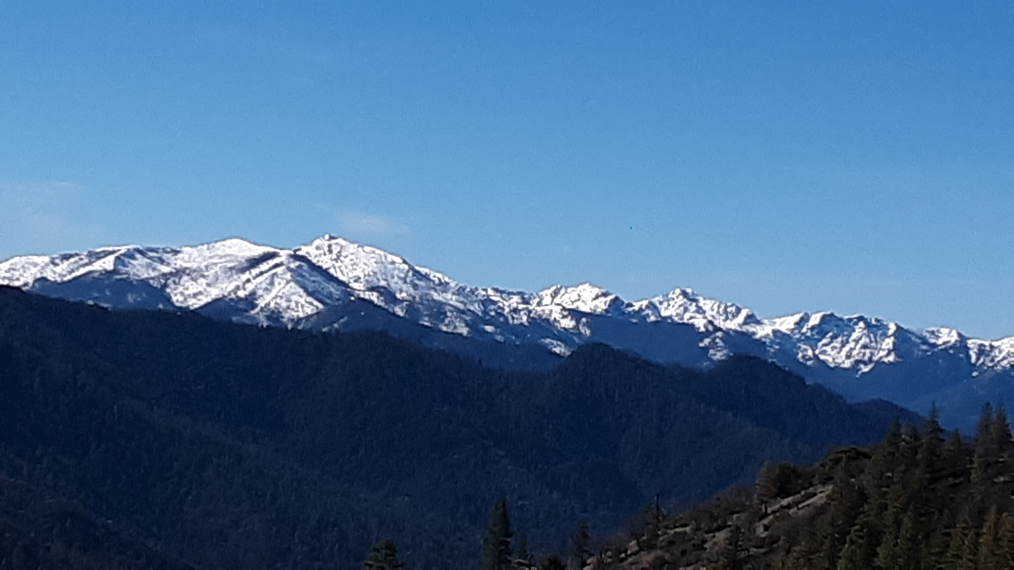
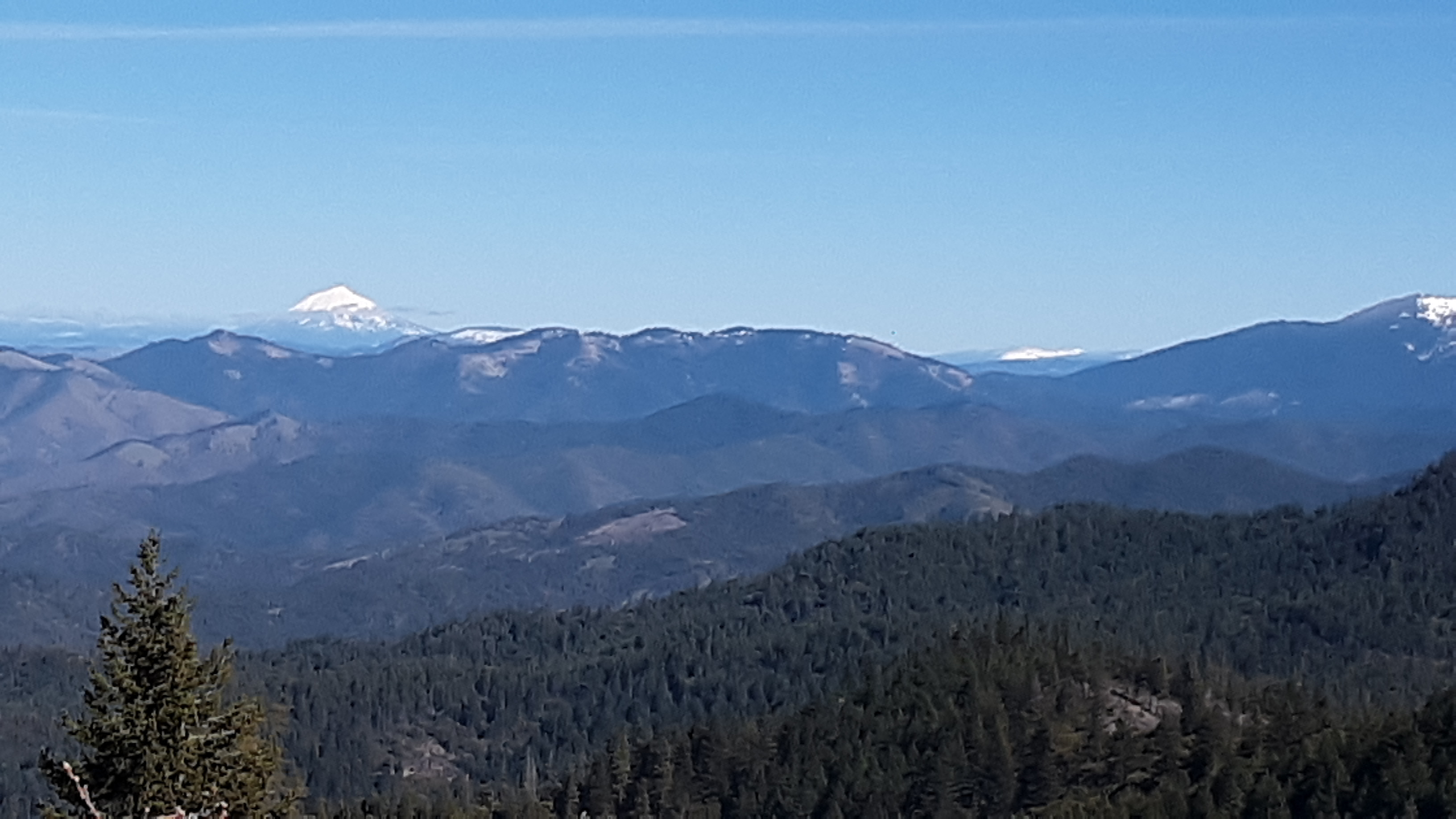
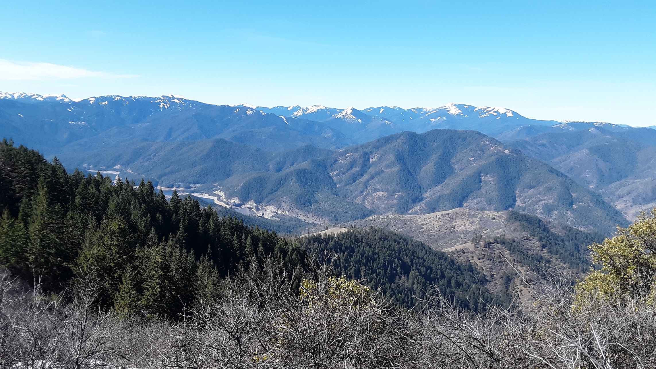
We left packing all our snow essentials figuring we would run into some but we were wrong. Nothing on the southside other than a little at the TH. It was a beautiful spring like day suitable for one layer hiking. The trek starts off on a well maintained trail but then you need to decide where to start ascending off trail. We chose just before the trail starts dropping below 4400'. On a map it looks like the typical summit in this area of bare, crumbly rock southside but as we ascended we had to try to find clear paths through tall brush. It is still a steep scramble in some areas. Don't be too anxious to make it to the top ridge and walk it to the summit like we did, you will get tangled up in thick brush. Stay lower until you can make that final hike to the peak. The summit is rocky and brushy but pretty easy to set up, just a little difficult to get our dipole N-S to hit east. We still got plenty of qsos on both SSB and CW. The view up here is to die for. 360 view plus looking down at Applegate and Squaw Lake. Descending down to the trail was a little easier to see open paths through the brush. It shows on a map about 650' but my tracker showed over 1200'. It was about 4.5-4.75 mi RT.
From Applegate Lake side, take Rd 20 and turn right on RD 2010, Hanley Gulch Rd. You will come to a sign for the TH turn to the right. The TH is marked on a map slightly different than where we started. We drove to the end of FS RD 2010-340.