Update: as of 7/2024 add about 1 mile to ascent due to large tree fall.
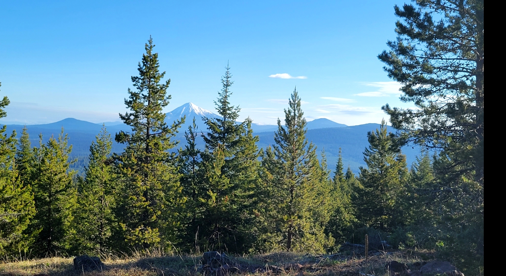
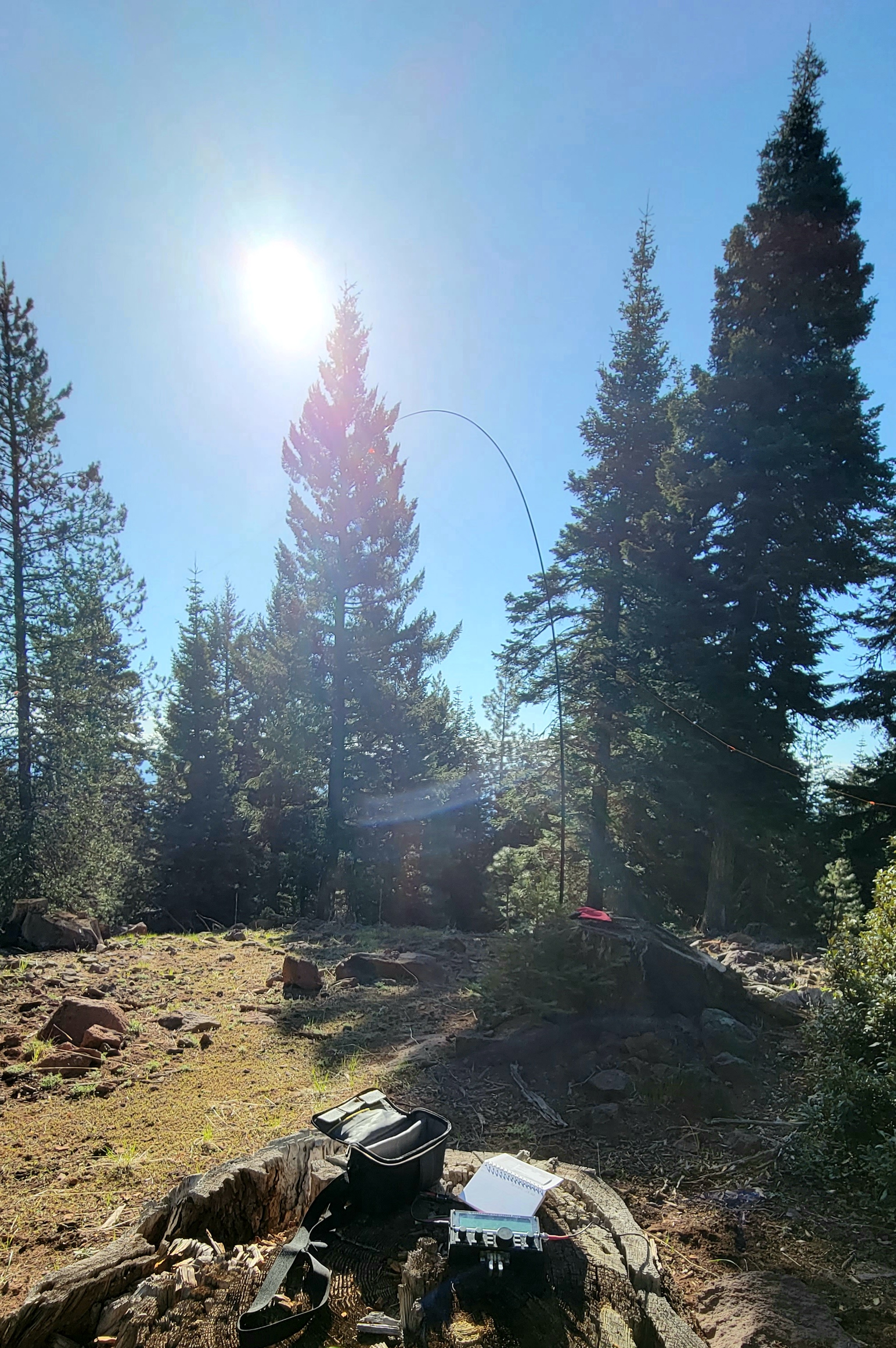
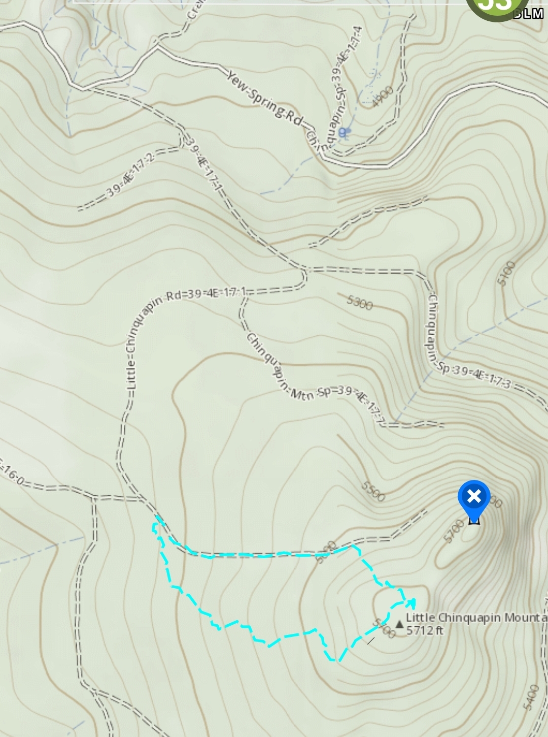
Nice little hike up a unusable road. Only about a 1/2 mi hike from where I parked on the west side where BLM RD 39-4E-17.1 pretty much ends. I enjoyed the short hike and the views driving up. There isn't much view from the top but just as you get at the fringe of the AZ there is a beautiful open view towards Mt. Mcloughlin, Brown, Robinson looking across Howard Prairie. I activated on the SW hump of the summit and wish I would have went to the true high point as I see now on my map it says "ruins". Could just be remnants of an old lookout. Easy set up.
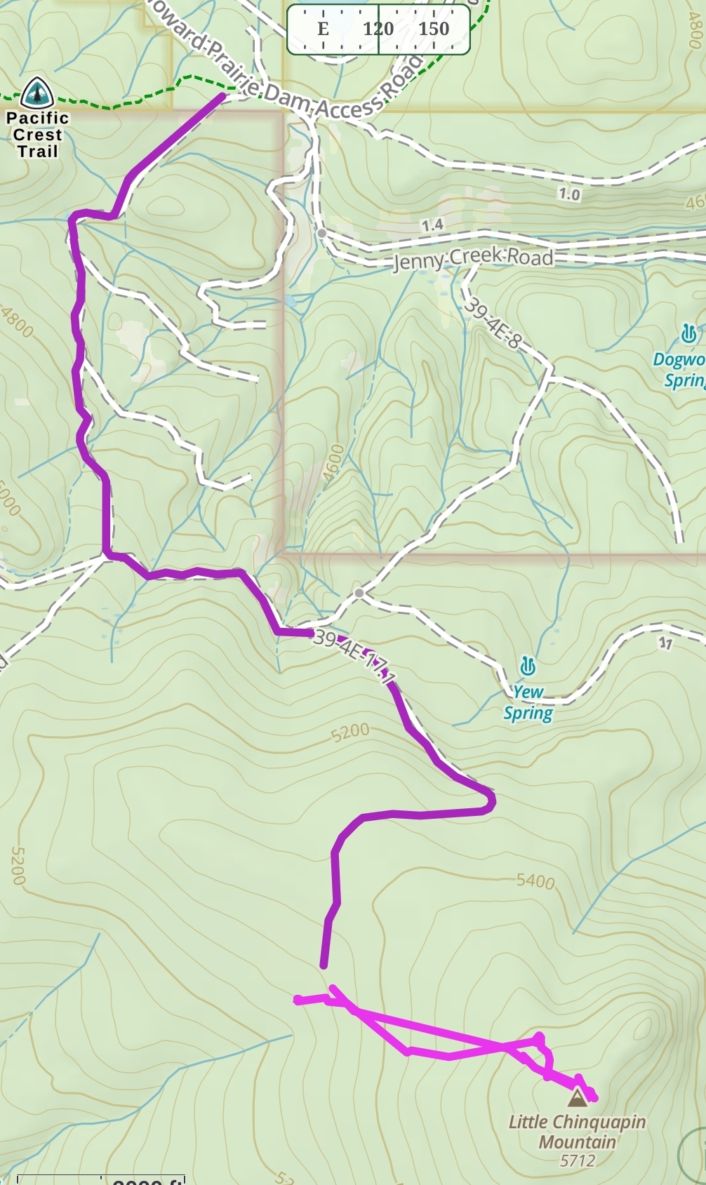
Hopefully these are correct from memory: From Hyatt Prairie Rd turn onto Howard Prairie Dam Rd. Just past Asperkaha CG turn right on Eve Springs Rd., I'm pretty sure at the road this is actually labeled with large BLM/Monument sign as Yew Springs Rd but on a map it says Eve. This basically turns to Yew Springs Rd then take a left turn on 39-4E-17.1(unmarked) . Keep right. I had to drive around some down trees but a pretty decent road. My driving and walking tracks are below. I came down to see the unusal plantation I could see on satellite images. I recommend just staying to the main road. It goes pretty close to the top and nice open forest area.
de AG7GP