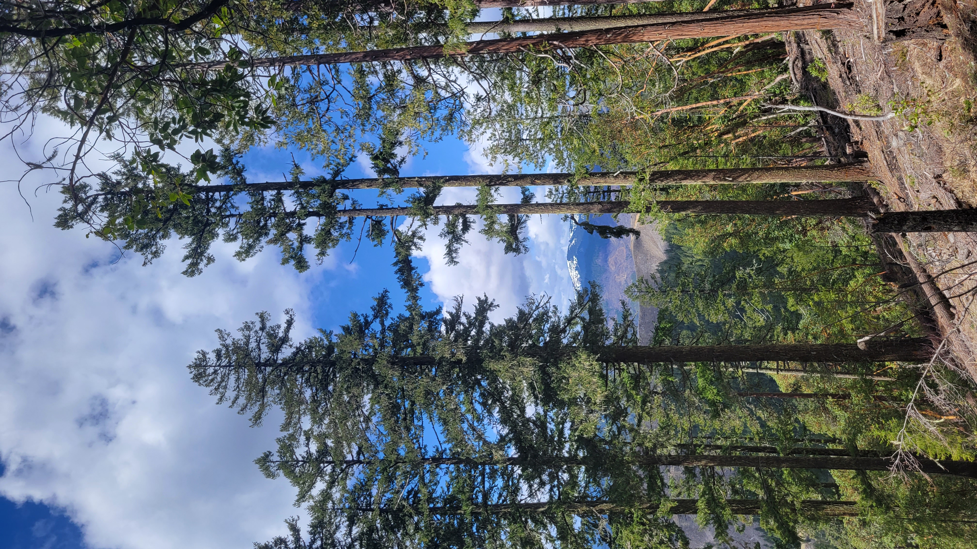
This was #3 of 4 summits in a day up May Creek. This was a little difficult set up. Crowded brush and timber. One thing to realize is the NE peak is also in the AZ, the saddle doesn't drop below the AZ mark. I just hiked up the this peak. It is steep country and once you reach the AZ it is very thick. Luckily the NNW ridge up the NE peak has been thinned and fuel break up to the BLM boundary so you can trek most of the way with little bushwhack. There are no no trespassing signs into the timber company property however if you are concerned the BLM boundary (there is an obvious pin) is in the AZ too. Might be best to set up there anyhow since it gets thick. Nice view of King Mt, hills and clear cuts lol.
Turn left off May Creek up an old road (42.62305, -123.09311), a little bumpier and tighter than the last two summit roads. It deads end at the take off spot up the ridge.
de AG7GP