
2011-09-11 Tamanos Mt. W7/RS-015 CN96EU89
Start elev.: 3791 ft (1155 m)
Max elev.: 6781 ft (2067 m)
Total ascent: 3096 ft (944 m)
Trip odometer: 10.6mi (17.059km) Up: 5.2mi (8.369km) Down: 5.4mi (8.690km)
Total time: 11h05m Up: 4h37m Down: 3h24m
Video
APRS
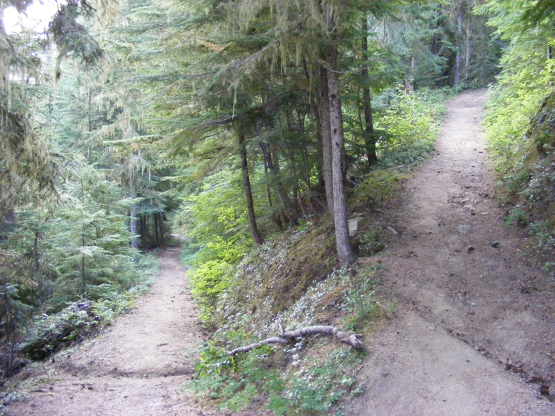
Started early morning. Approx one and a half hour drive I reached the national park. No one was at the gate, so just drove through. Started my hike at 0745 from the Ohanapecosh trail head. There is a very good trail to the Owyhigh lakes. The sign says 3.5 miles. I thought this will be a quick hike as I spent a lot of time mountaineering on the glaciers with a much heavier pack. I did not even bothered to measure it, but I am sure it was not heavier than 44 lbs. Walked slowly upwards, switchbacks were followed each other all the time. I counted 7 on my way up to the lakes. I saw a chipmunk on my way and a Gray Jay. Not many people hiking this part of the park I guess. During the day I only met with one hiker, who was going on the opposite ridge. Switchbacks after switchbacks added a lot to the distance, but at least the ascent was not that steep.
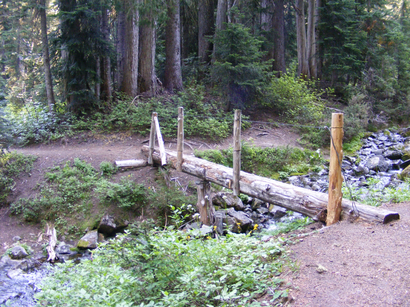
After two hours of walking and 3.1 miles I reached a small pond with a stream and a wooden bridge over it. Here I met with the other hiker. He refilled his water bottle. I passed by him and thought that my 0.8 gallon (3 liters) would be enough for me. I was very slow and also felt tired. Maybe because I did not eat proper breakfast. So far ascent is 1435 feet.
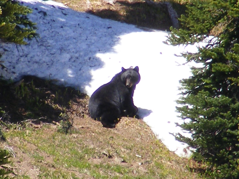
Next mile follows the contour. It is good to walk on flat terrain. As I reach the lakes the view also opens up. Pine trees grow sparsely and some of the glades still have some patchy snow. This will be very handy later. On my way up I try to make noise and keep shouting “Yoo bear!”. Just a couple of days ago Grizzlies killed two hikers at Yellowstone. The first deadly bear attacks in 25 years. Happily there are no Grizzlies here, only Black bears. Most cases they will run away, but I try to be safe because even these ones are huge. The “bear spray” always at my hands reach. This “little” guy was in my way on a previous attempt. That cooked my goose. They were two just for sure. :D
Once I reach the junction I stop for a rest. I cannot stay in one place for a long over mosquito attacks. From here there is only an unmaintained trail goes up sheer. The meadow is full with flowers. At this point my progress is very slow.
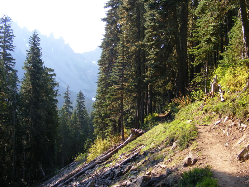
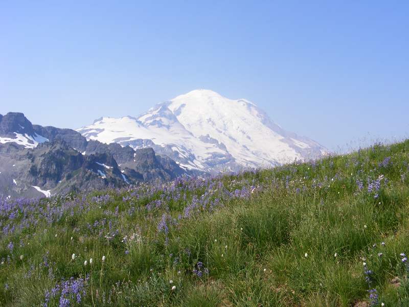
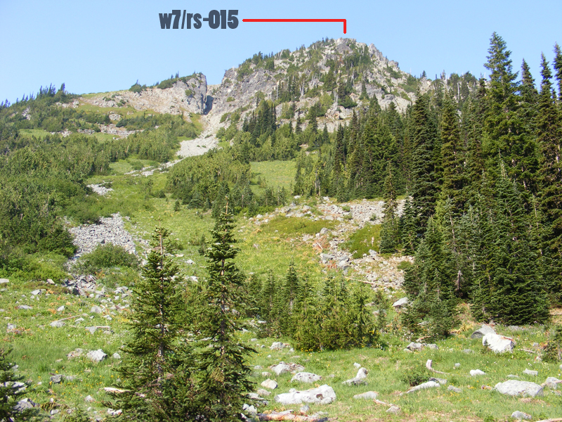
Finally the volcano also merges over the horizon. I reach the saddle, and there is a small snow also here on the north side. I am thinking that I will never reach that summit while I was stepping little by little on the ridge. I want to stop and rest. The sun is very powerful. It is noon right now and I still have a half mile to cover. I reached the false summit and went around it with the speed of a snail. This false summit looks taller than the actual, but I did not climb this one.
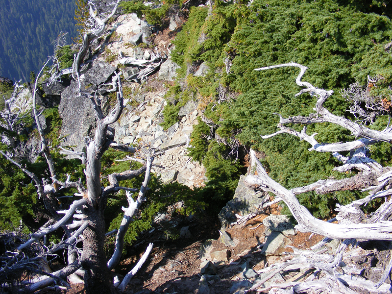
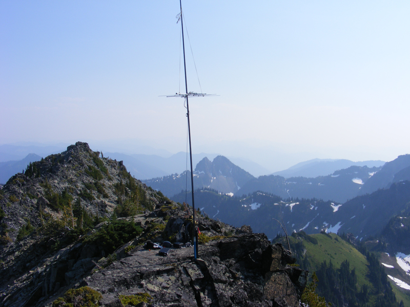
The whole mountain is loose rock with sand. The steep slope is slippery so I was very careful with every step with my bigger than usual pack. I reach the top quite easily where there is a good flat rock also. There are cracks for my fishing pole too. The view is absolutely gorgeous. 360 without anything blocking it. I made it. Hardly believe it. Time is 1221, it took me four and a half hour to cover the 5.2 miles from the trailhead to the summit with a total ascent of 3060 feet.
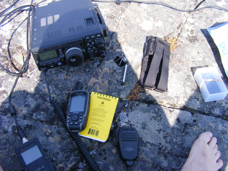
Start my station assembly. Shortly my 5 element Yagi is on the fishing pole. It was all good without any guying. I put the pole into one crack, but I should have put it into the pipe which I use to carry the Yagi. During the rotations the bottom bit came off and fall deep into the crack and I was not able to recover it. I did not even see it. Now I have to find something to cover the bottom of my pole. I send my APRS message to get on SOTAWatch site and see on the screen that it got digipeated. Unfortunately the message did not reach the APRS IS, thus I am not posted either. I will only get aware of this at home. There is a VHF contest though, which I only learn here on the top. I made 20 QSOs on 2m and 70cm.
I spent three hours on the summit top. Got dehydrated and developed a headache as I ran out of water. I am walking slowly on my way back and thinking that I should stop at the saddle and melt some water from the snow on the north side of the slope. In the end I only eat some snow and fill my shemagh with it, so it will cool me down. My goal is to reach the small stream with the pond to obtain some water and eat. I also eat some snow from the glades before the forest. This helps a lot. From here the pond is not far.
I just walked over the bridge and took my knapsack off immediately when I reached it. Filled up my bottle and poured 60 oz into my backpacks 100 ounce tank. During the rest of my descent I walked a steady pace and kept drinking and eating energy bars in small portions. With this process I was able to completely get rid of my headache.
The 5.4 miles decent took me 3 hours and 24 minutes. Up on the meadows I got disoriented for a while and I had to climb back a little to verify whether I missed the path or not. Thus a longer descent. The time was 1850. It was a very good hike. After one and a half hour drive, I am home.
2011-09-18