
Old Scab 2012-07-15 CN96jv34
A very pleasant hike in the middle of summer. With lots of QSOs, nice weather and strong wind. As usual, I gathered information from Beckey’s book and of from the Internet for this summit too. The forest road opens from state route 410 and the upper section might require higher clearance. I think this summit is not visited very often, today I have not met with anyone.
Start elev.: 5909 ft (1801 m)
Max elev.: 6628 ft (2020 m)
Total ascent: 1601 ft (488 m)
Trip odometer: 3.6 mi (5.794 km) Up: 1.8 mi (2.897 km) Down: 1.8 mi (2.897 km)
Total time: 7h32m Up: 2h8m Down: 1h42m
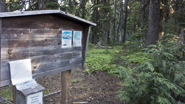
The trail head is on the right (north) side of the road. Here only one or two cars can park. However, there are plenty space on the other side at a turnaround. I fill out the registration paper and start my hike at 0745. As usual, no trail to the summit. You can go to a lake or a distant campground by using the two trails starting here.
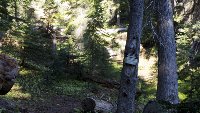
The start was not very straightforward, but found the correct way. I started my way down on a steep section, but on my way back I have used the longer path. Wilderness sign nailed on a tree.
Roughly after 246 feet of descent I reach the first turn off. Here I turn left. The other direction will take you to the lake if I am correct. I can walk fairly fast. I have my summer gear with me and did not bring unnecessary stuff either. I have a light knapsack.
Twelve minutes from the junction I reach another one. This looks like not part of the maintained trail system, so I start following this boot path. It is quite open at the beginning, but soon I find myself in a dead-end. I start my wandering amongst the pine trees. I am using my reliable GPS as primary navigation aid and walking towards the lowest resistance. It is a marvellous thing the GPS, isn’t it! I have a compass with me as well. I am planning to have an activation on an unknown peak, where I will only use maps and compass to navigate to it. Just like in the old days.
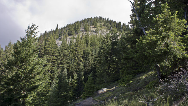
From time to time I ended up on goat trails and followed them till our directions stayed in sync. At the end I arrive on a big glade and traversing next to the trees towards the summit base. To reach the base I have to go back in the woods for a short while. Then I can start the steep climb.
This was only a mile covered and took me 45 minutes over the route finding. From here onwards it will be easy peasy lemon squeezy, I thought. I am happy to be out of the dense undergrowth, but this hill is steep. It looks about 30 degrees on a map. I am zig-zagging a lot.
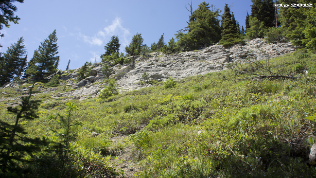
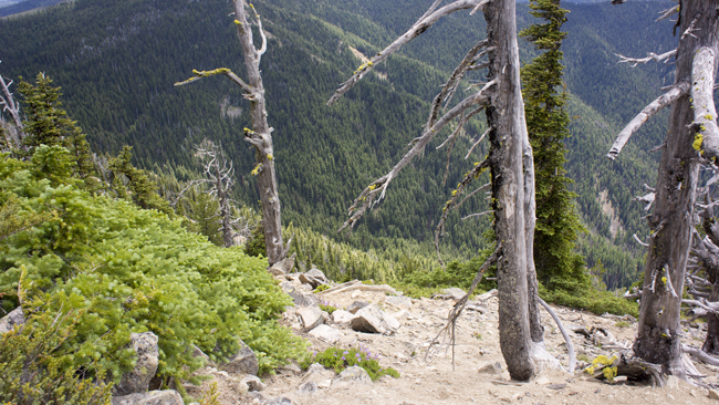
I climb slowly. Reach this rocky section where I have to traverse a lot. There is no defined path here. Either not a frequently visited peak or maybe I just did not find it. The ground sometimes very loose and slippery, but I climb determined.
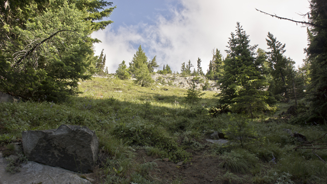
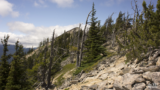
Weather is nice, and however in the forest I was sweating, here on the exposed ridge I do not have this problem anymore. The wind is blowing very strong. I try to stay out of its way and when I feel a little overheated I move out of cover a little. The glade looking back from the upper section of the ridge. Around that the endless forest.
Takes me one hour to reach the top of the ridge with a 885 foot climb. There is still some snow here, but I do carry water with me. I try to walk on the right side of the ridge, but there are some big rocks here so I change to the left (southwest) side. This is only bad because the other side is leeward.
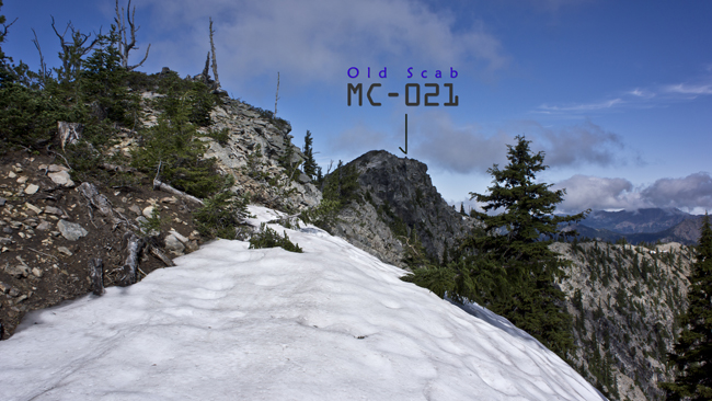
Very nice view from the ridge. South direction, there is the already activated Iambic. Aix, Nelson and Slopper, which are still waiting for me. I move a little to left side onto a nice rock field to reach the summit. I love these fields, if the rocks are stable. Here I did not have any problem this time.
I came here to have some fun on VHF, but the wind is so strong that I could not set up the Yagi. So I choose 50 MHz instead. I found a good place for the pole and I am protected from the wind. I had to guy the pole and even so, sometimes it got hit hard by the wind. I got the activation very quick. Lots of stations are listening. I heard Au and I was also heard, but I did not have any Aurora Q at the end. It was very interesting to listen to the vibrating sounds. ODX was W7GJ from Montana with 326 miles.
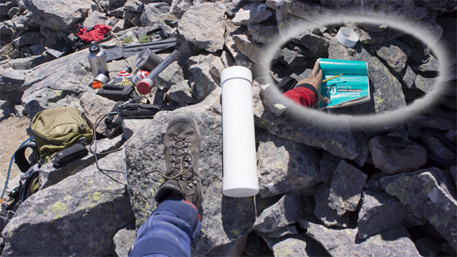
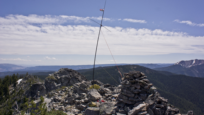
This summit has two interesting features too. One is the huge cairn, which you can also climb on. It is quite huge, and here in Washington it is very uncommon to have summit cairns. This can provide good cover from the wind, but I have not used it. The other one is the huge peak register pipe. I placed my size 9 boot next to it for scale. Inside there is a letter size notebook, which needs to be replaced.
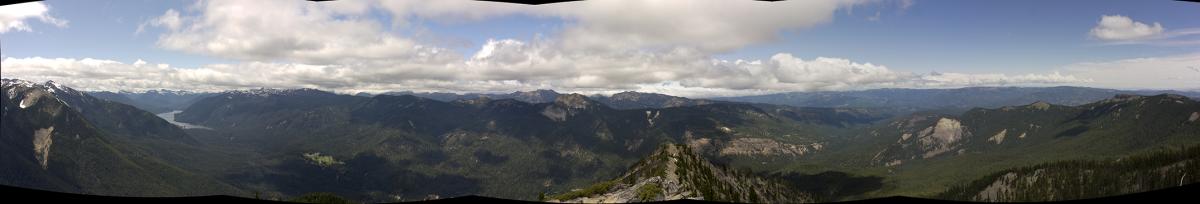
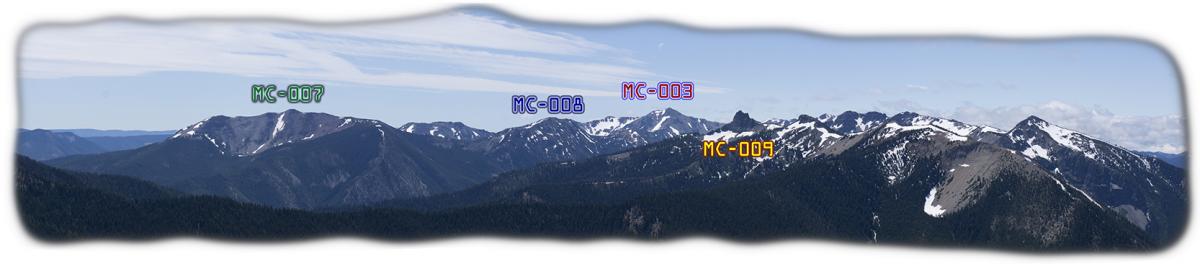
Northern 180 degree view. Here I was not able to mark the summits, because I am not 100 percent sure about the positions. Transistor and American Ridge must be there and the peak to the left of the Old Scab ridgeline I think it is Goat Peak.
I could spend a lot more time on the summit, but start packing up. I want to activate another nearby summit, the Longwire. On my way back it is a little harder to progress on the steep side.
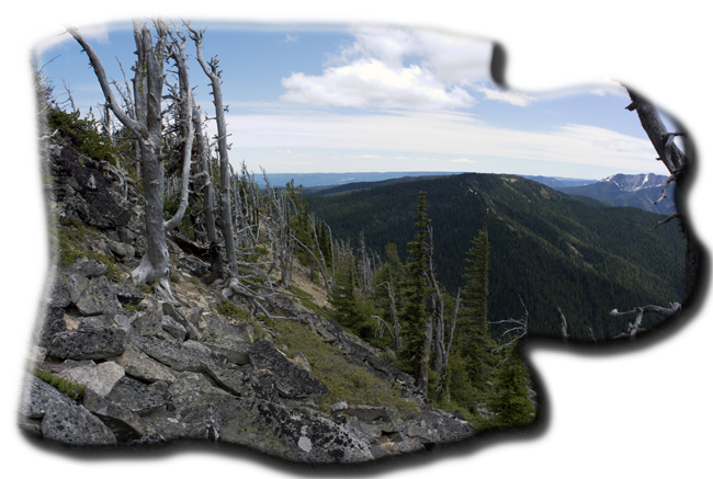
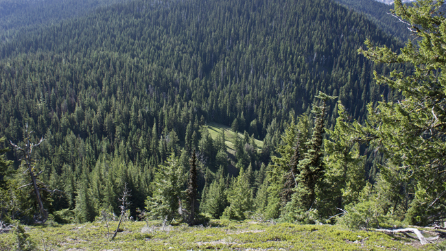
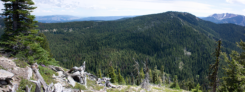
This is how the traverse looks like. At the right side of the picture where the horizon meets with the forest, there is Longwire. It is harder to go down because some rocks can pivot when stepping onto them, so I have to be careful.
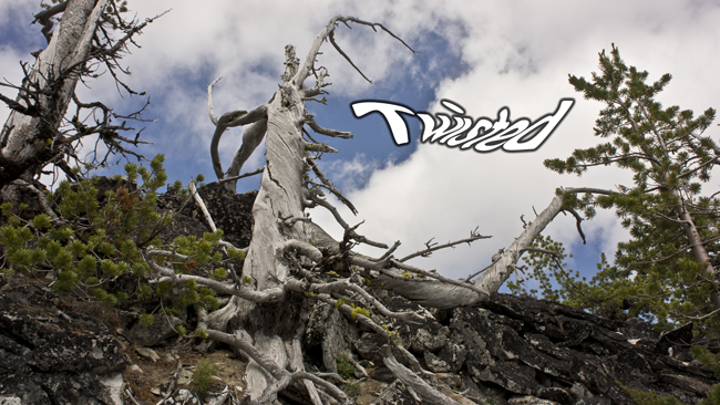
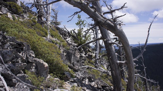
I love these twisted trees. What causing this? Maybe the snow, I do not know.
Looking backwards, when I am almost at the end of the traverse.
Difficult terrain.
The second target for the day, Longwire on the picture. Very easy summit, or more like a plateau. I was faster going down. I had some problems with finding the trail from the glade. I got on some goat trails which took me to the wrong direction. After this I navigated back onto the trail with GPS.
This climb was a little harder and took longer than I first expected. Even so, it was an easy straightforward short hike, which will reward you with exciting views on a clear day. To reach the trailhead you might need a little higher clearance, but I think a normal car also could do it. Another peak bagged.
HG1DUL 2013-01-26