A fairly short snowshoe near Mt. Hood gets you two points - in the summer this activation may be a bit more challenging in the bushwack. From November 1 through April 30 an Oregon Sno-Park permit is required - from May 15 to October 1 a National Forest Pass is required.
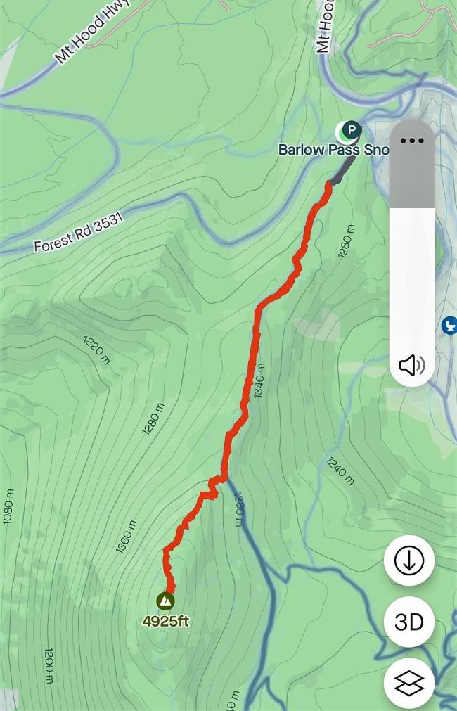
The trailhead is found at Barlow Pass Sno-Park, about 2 miles north of Highway 26 on Highway 35. From the Sno-Park take the Pacific Crest Trail (PCT) south about 1.2 miles and then continue up the ridge 0.5 miles cross country to the summit. (We branched off the PCT near 45.2687, -121.6932.) The total elevation gain is about 700 feet. The southbound PCT trailhead may not be perfectly obvious - it's on the east side of the parking area.
The map below has north to the right and the Barlow Sno-Park is the wide spot just SW of the "35" marker. The faint white line is the PCT and it follows the ridge (and the blue county line) for about 1.1 miles and then the PCT turns east and starts to descend - that's where you'll continue up the ridge cross country.
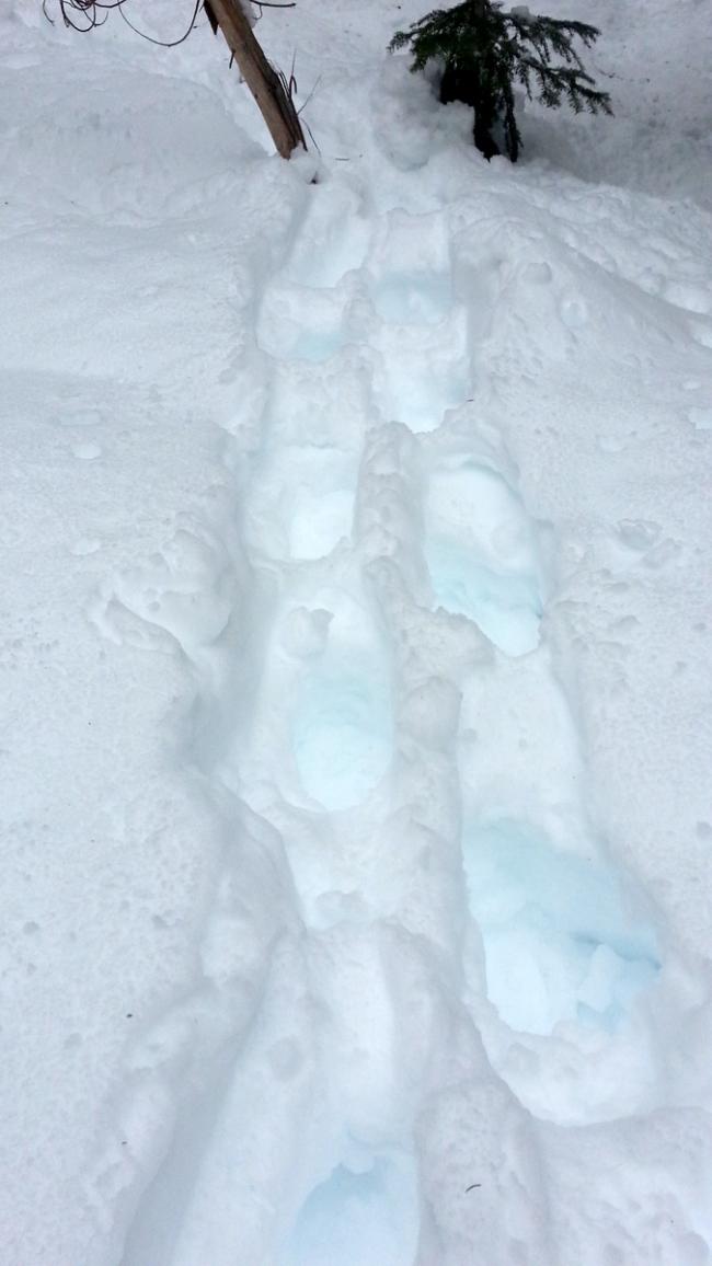
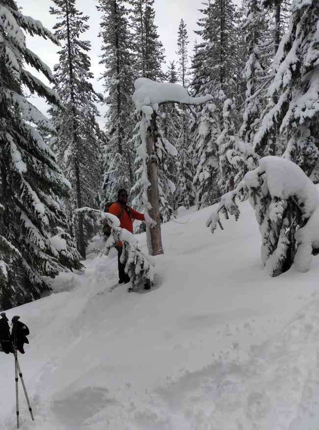
Even in winter the PCT is usually well-used with an established ski/snowshoe track. And the cross country portion of the ascent many times will have a snowshoe track leading to the summit. We brought cross-country skis, but with the breakable crust there was little traction, and with booting up, we post-holed much of the time. The ideal approach would have been snowshoes the whole way. Note the photo of the snag pointing RIGHT and UP - here's where we left the PCT and went cross-country to the summit. A GPS may be essential to returning to the PCT, and helpful for finding the summit. When there is no snow, you might consider also activating Barlow Ridge (W7O/CN-028) when you do Peak 4925 as they share the same trailhead.


