Pente Pyrgoi (Five Towers) is a great hike near Katerini, Greece of about 11km round trip and 600m elevation gain.
Follow Highway 13 west about 15km from the center of Katerini to just past the village of Kato Milia, pass through Milia and then Ano Milia as you head up a paved road. You can start your hike to this summit near the refuge at 40.24591, 22.26579 at 1017m elevation. There is parking on the side of the road and you may find a spot of shade. You'll find a spring at the trailhead for water.
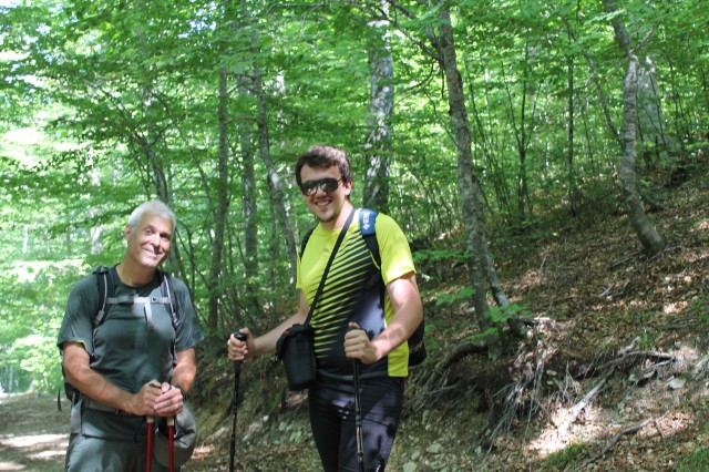
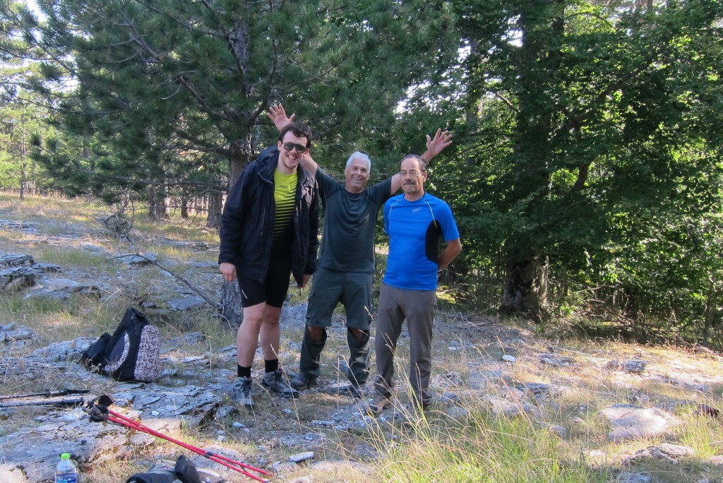
I was fortunate to have my local hosts, Christos-SV2OXS and George-SV2QLO to lead the way. To start from the trailhead, go up the road a few meters to an abandoned road switchback where you can most easily begin the trail. There are a few trail signs but mostly red markers on trees, red dots painted on rocks, and red arrows showing the directions to head. With good attention, you'll find your way up the trail, most of the way on abandoned forest roads. The last 0.9km of trail is along the summit ridge with views of the Olympos summits.
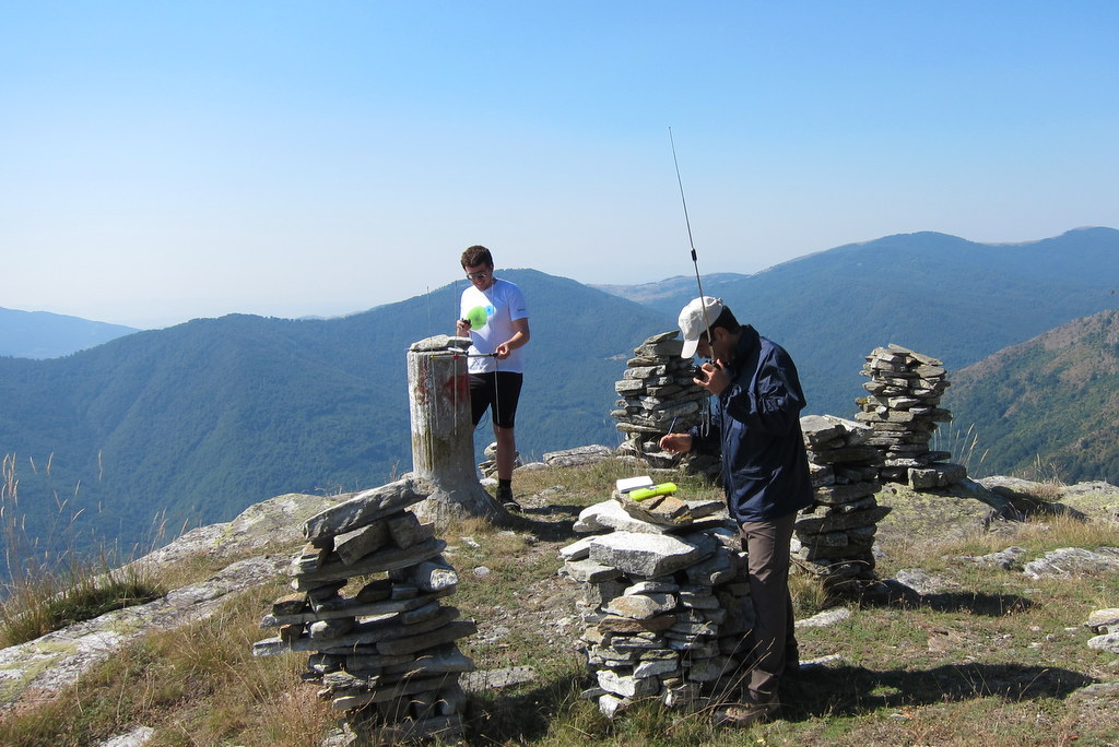
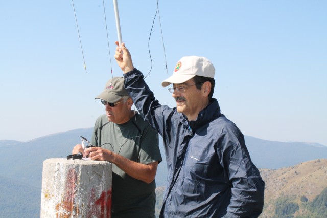
For our activation the summit of Pente Pyrgoi had not five, but eleven towers at the top and a trig point. The views from this ridgetop summit are fantastic. With support from members of the Radio Amateur Club of Pieria (www.syrap.gr) we all worked many stations on 2m simplex with our best DX 350km with SV8JNN on Lesvos - and that was with 2W and 3el yagi on our end! Christos was not satisfied about our activation until the first CW contacts from that summit were made on 30m. This summit is in the SV2 prefix area so visiting activators will sign SV2/xx#xxx/P.