Peak 3410 is about 10 miles back into the Tillamook State Forest. Although once you get there it is really a near drive-up, the drive on those roads might feel like you've been hiking five miles by the time you get there. You'll want a high clearance vehicle, a good map, and GPS to reach this summit off Highway 6.
We found a freshly cut cat track of about 1/10 of a mile from the Fb 8n Road (yes, that's the name) to the summit proper. This might mean that the next activator will find clearcut and slash on this peak instead of trees. So although we found lots of trees, you might not.
You might consider activating Peak 2814 (Best Regards) W7O/NC-073 along the way as those roads are in decent condition. The roads south of Triangulation Point W7O/NC-005 are very rough and you may not be happy driving out that way.
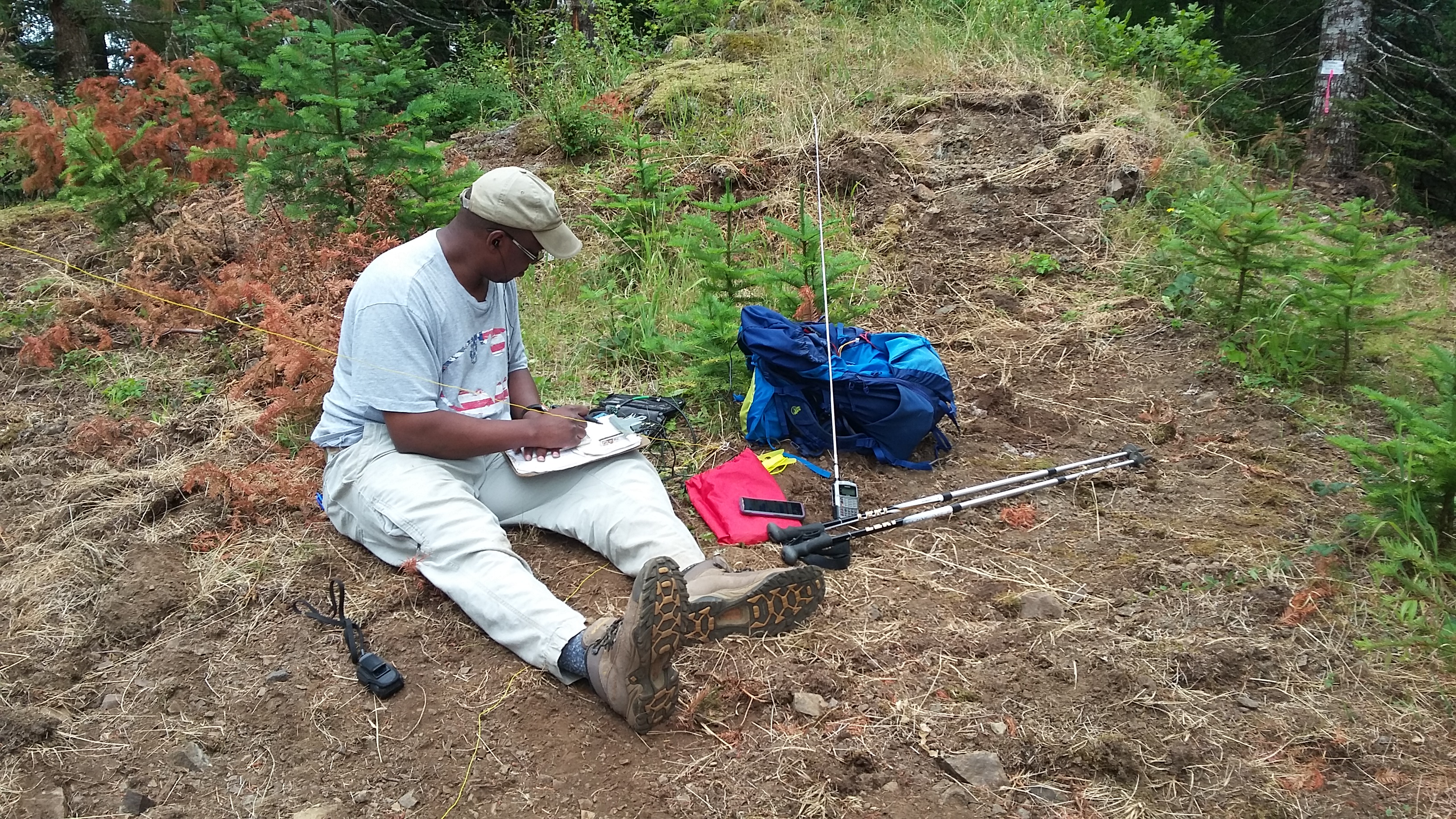
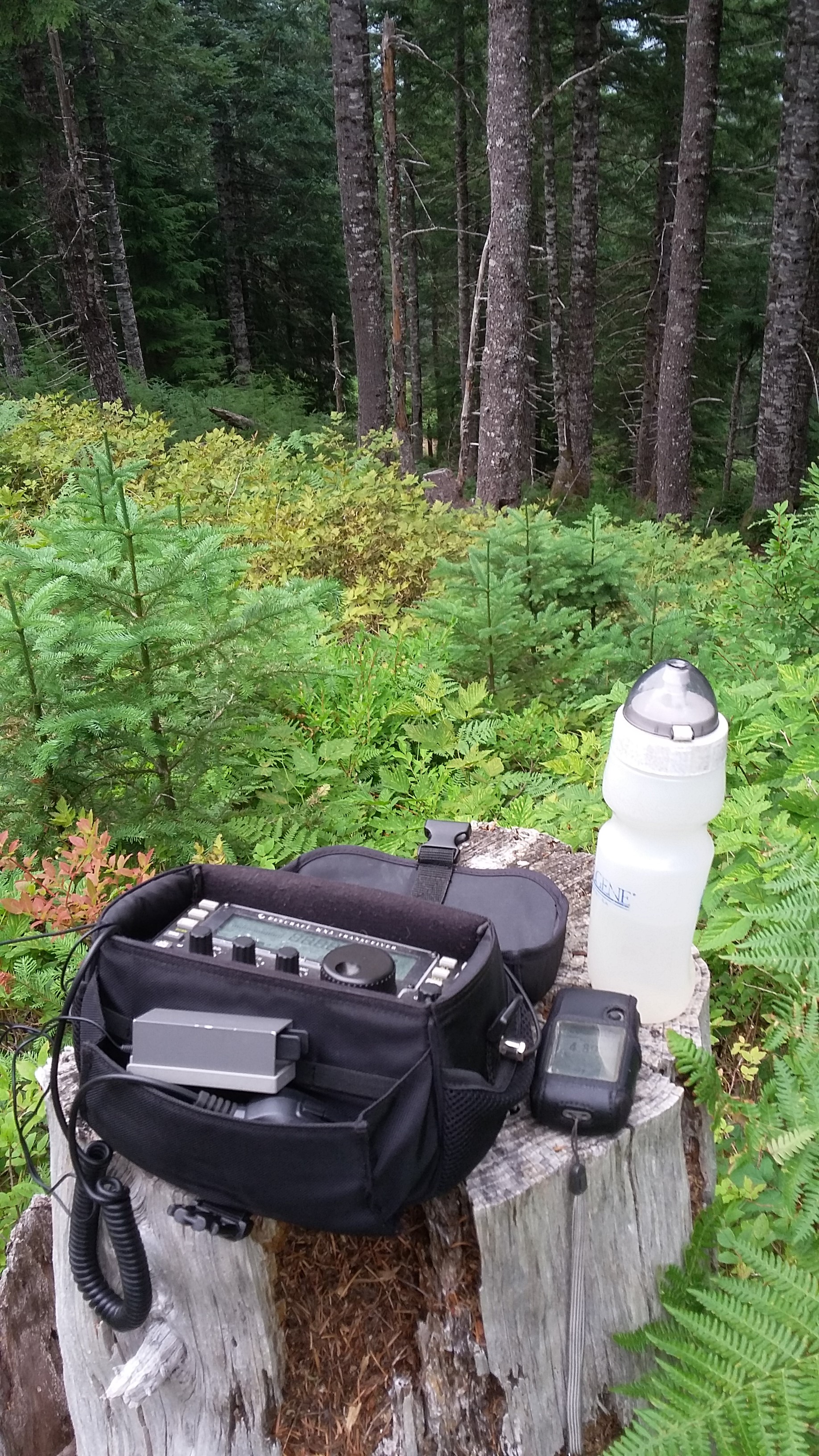
We did work a bit of 2m FM but you won't get into Portland on that band and you'll also want APRS for self-spotting as our cell carriers had no service at all. I can't tell you about APRS coverage as I forgot my HT at home - we had a hard time getting four contacts.
Troy-KF7SEY notes that you can also approach this summit from the Coast and you may find the roads better that way. Take Miami Foley Road out of Garibaldi and then end up on Cook Creek Road. This will eventually connect with Fb 8n Road and to the summit. GPS would be highly recommended...