An easy one pointer in the Coast Range with a very short hike - using a GPS may help you find it in the maze of roads that is the Tillamook State Forest.
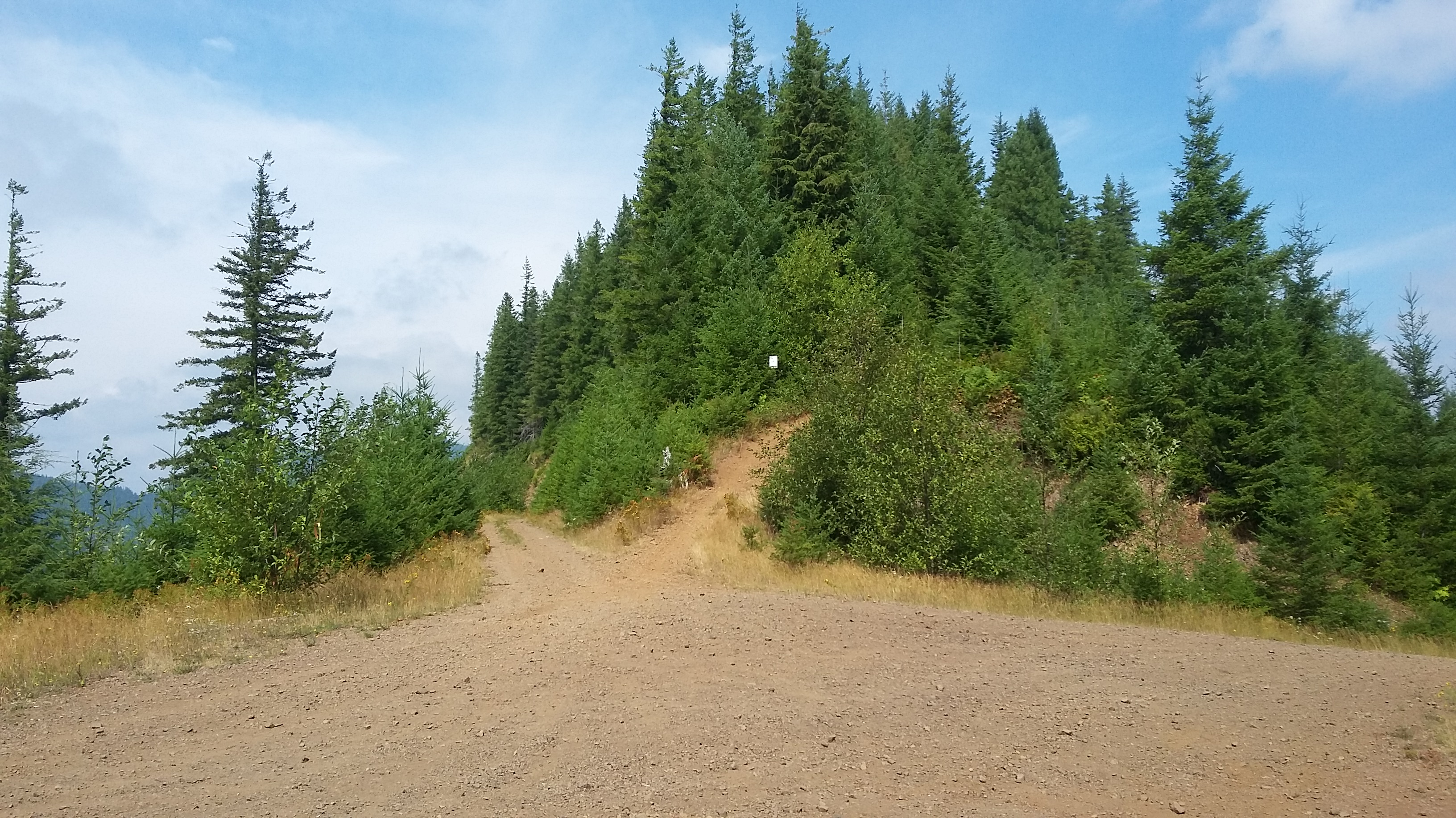
Head to the Coast on Highway 6 to Tillamook. Between mile markers 23 and 22, go north towards Jones Creek Campground, turn right and cross a bridge, and drive on the main track about 1.9 miles where you will bear left onto Diamond Mill Road. There's one right turn after 2.5 miles to get onto Jones Road and you'll make the next left to go a total of 3.5 miles to a large intersection near 45.6194, -123.591. You are now about 0.1 miles below the summit - head on foot up a motorcycle trail to the peak. [Note that if you are coming down after activating Rogers Peak, take a hard right at Diamond Mill Road and continue as described.]
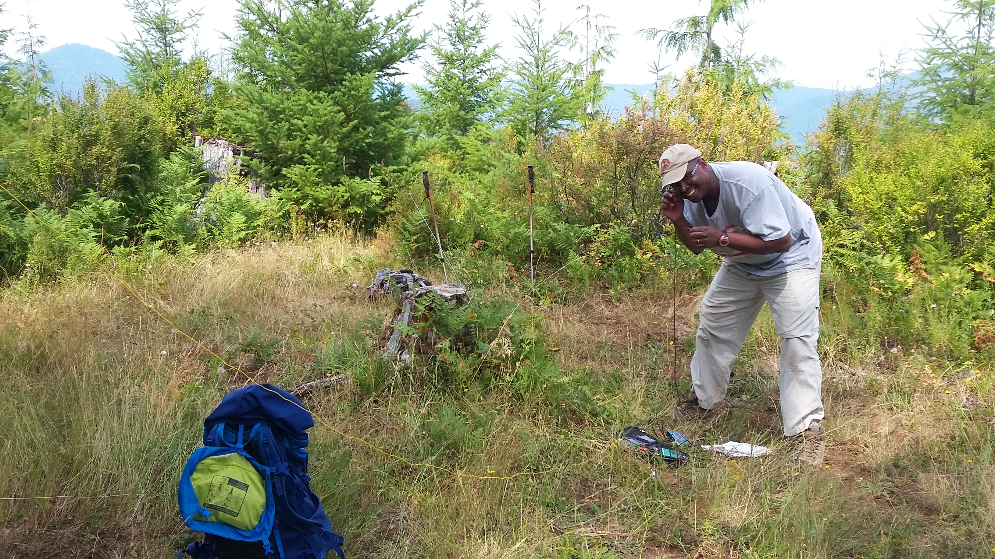
There is an area of the summit that appears to be seldom visited by the OHV crowd and it would be a safer place to set up. Be careful that your antennas don't cross the motorcycle trail. We found lots of huckleberries there and were able to work 2m fm to Dan-N7YY in Sandy and a few other folks on high points, but otherwise no one in the Valley.
There were no cell signals here (T-Mobile and Sprint) and so you'll need to use another spotting approach to get the chasers to find you. We'd suggest including an activation of Rogers Peak to make up for the short hike required for this summit.