One of the many summits named "Lookout Mountain" in Oregon - this one is west of Sunriver and is a near drive-up with a half-mile road walk and about 200 feet of gain. It's also easy to reach by following GPS map directions.
From Highway 97 south of Sunriver, proceed west on South Century Drive, NF-42 about 13 miles. You'll pass two other summits, Bates Butte and Pistol Butte. Turn right and immediately right again to travel on Lookout Mountain Road. The only confusion on the route might be to go straight across the four-way intersection. Eventually the road designation may be NF-4245. The total distance from NF-42 is about 7.2 miles.
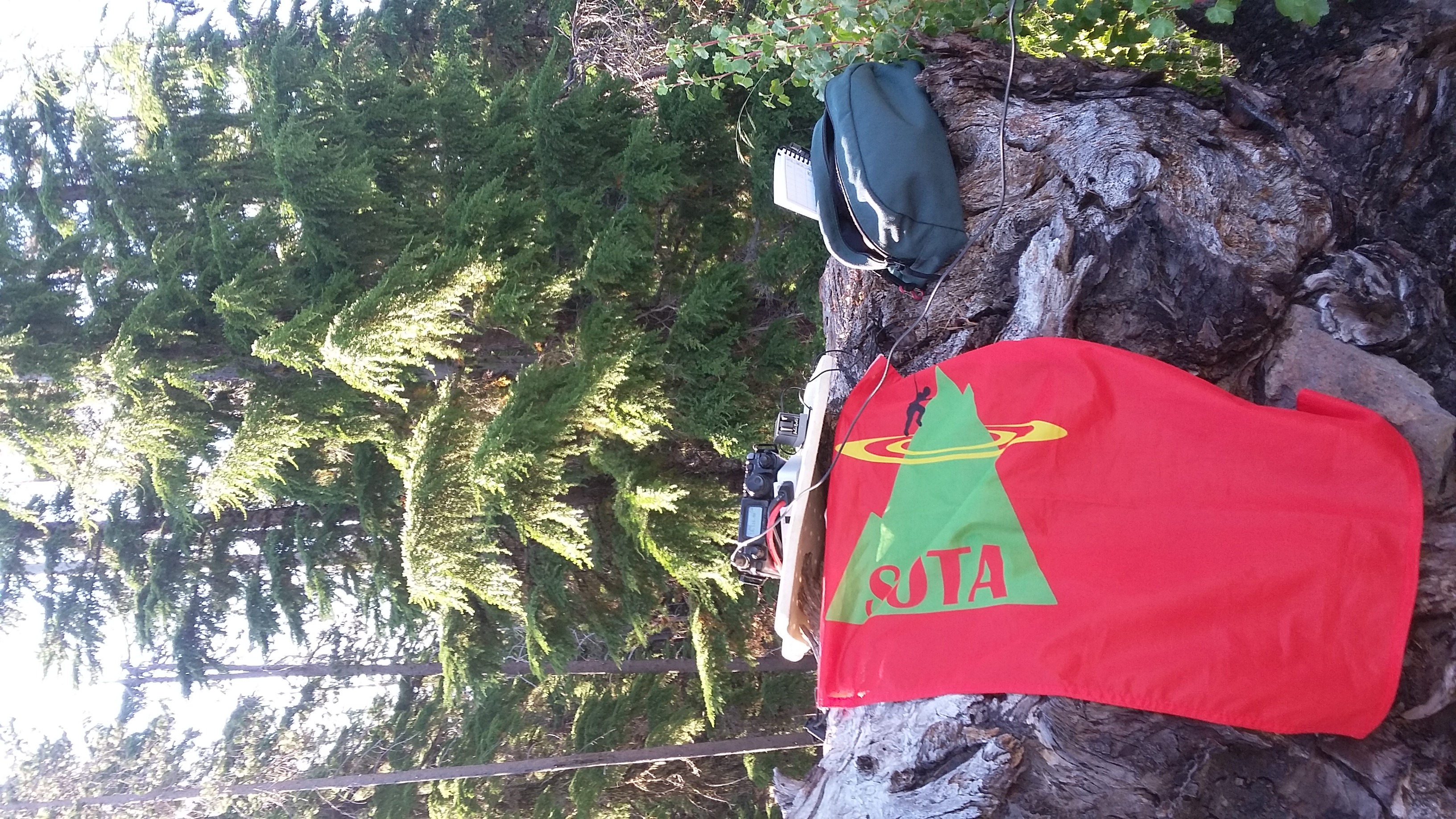
You'll find a gate just short of the summit - parking is easy. It's a short half mile to some radio equipment (we experienced no RFI) and some decent places to operate and trees to rig antennas.
The next closest summit is Round Mountain - only 3.1 miles as the crow flies and an easy backroad drive. Again, we found Google Map directions starting from the intersection of NF-42 and Lookout Mountain Road worked great.