As far as summits go, Peak 2416 is pretty uninteresting. On the edge of a clearcut that is about 10 years into regrowth, operators are left with little choice but to activate off of the old logging road that rises close to the summit. That said, with an adventurous spirit and a small amount of navigation mojo, this summit is pretty easy to get to and activate. It would be an excellent outing for someone that is still cutting their teeth on this whole SOTA gig.
To get to the activation zone for 2416:
45.7900 -123.4500 turn off of Highway 26 onto McGregor Road (about 0.8 miles before the rest area. Do not use Music Road.)
45.7966 -123.4388 turn right and go up the steep road (about 0.9 miles at a sharp left turn)
45.7912 -123.4334 turn left and continue up (after about 0.7 miles)
45.7903 -123.4277 parking area (only 0.3 miles on)
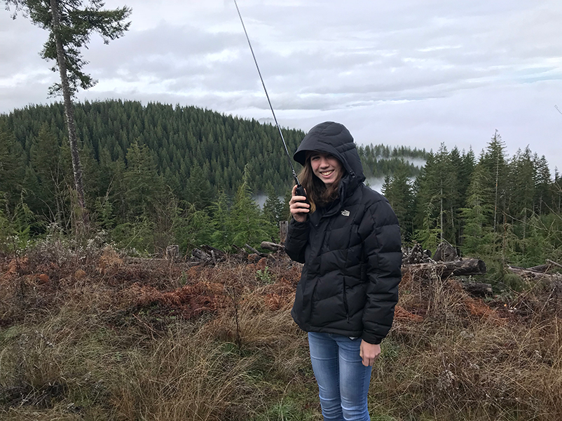
The little Sherpa and I made the run up here on a Sunday afternoon with little more in mind than to just breathe some fresh air, let her get a few contacts on the radio, and possibly meet up with K7FOP, K7ATN, and KI7NQN. After a foggy drive in, as we approached the summit we rose above the clouds and were treated to great views to the north and an unexpected spot of sunshine.
Immediately we made a trio of S2S contacts on 2m and then setup the rig for 20m SSB. Thankfully, we had good cellular connectivity and got out a self-spot. 16 contacts later, we switched to 15m and got totally blanked - darn solar cycles. We tore everything down and the little Sherpa got bundled up in a sleeping bag while we waited on the others to arrive. Soon enough we had a summit party going on. It may not be a very cool peak, but it makes a great place to hang out with friends.
Check out another description of McGregor Summit (2416) here.