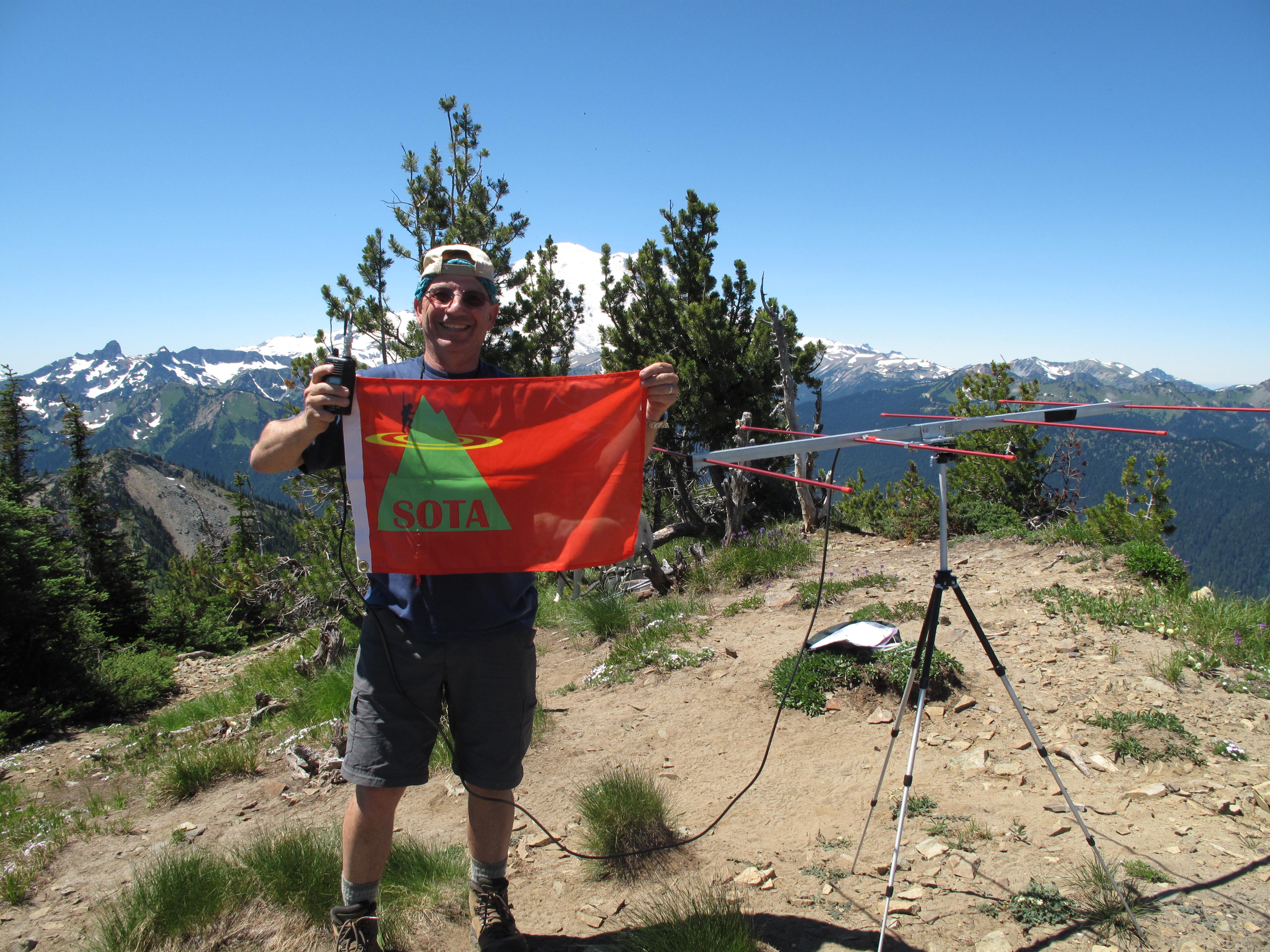
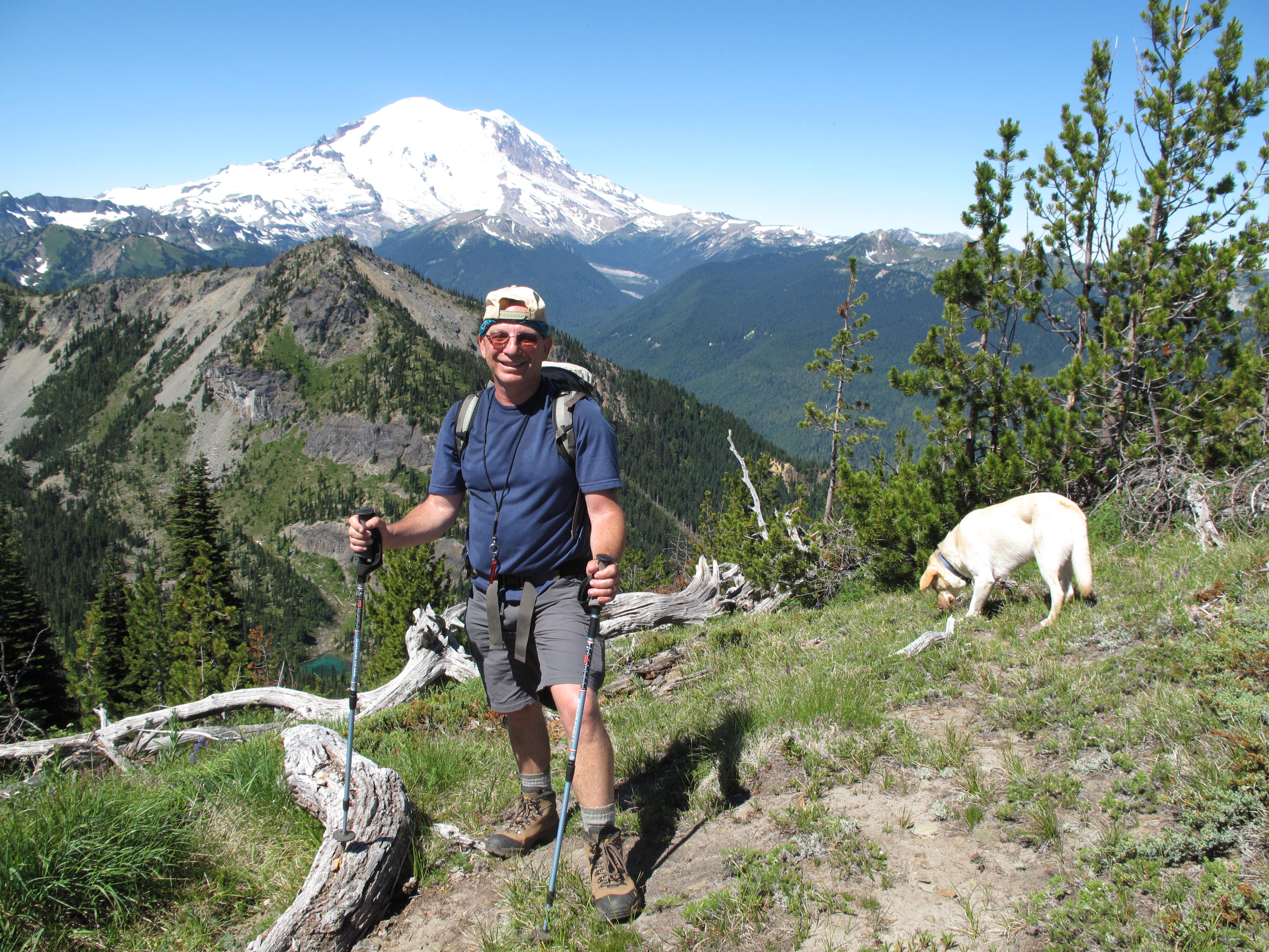
Great outing on sunny and warm day (80F at 2:00 PM). With Loren Chotzen, Dexter the Labrador and Max the Husky.
Start at base of Crystal Mountain Ski Resort. Hike up along Quicksilver Ski Lift to Hen Skin Lake; Hike N / NW up creek drainage, passing upper Hen Skin Lake; Good swimming for the dogs in both lakes. Climb steeply up heather slope to Col between Threeway Peak and Crystal Mountain. Hike easy ridge up to summit. Topo map shows summit elevation of Silver King (incorrectly SOTA labeled as Crystal Mountian) to be 6,998 feet elevation. Other data / maps show the elevation to be 7,012 feet. 2,600 feet +/- elevation gain to summit.
To return, continued north along ridge climbing up and over The Throne - 6,861 feet, Silver Queen - 7,002 feet and finally the "Gondola Summit" - 6,782 feet...about one mile along the ridge from Silver King. Total elevation gain 3,487 feet and loss of 1,102 feet on the traverse over the other 3 peaks.
Took the Gondola back down to ski area base. Ride for free! if you hike up, even with dogs.