Pearls On A Necklace – SOTA Adventures in W6/CT. Strung along the Angeles Crest Highway (SR 2, Los Angeles County, California), which runs through the San Gabriel Mountains, on the stretch between the Pasadena / Glendale area to the south, and the Apple Valley / Victorville area to the north, lie more than 20 SOTA listed summits. Most of these SOTA list mountains are 6 to 8 point summits. Proximity to Los Angeles, relatively easy access and beautiful terrain, similar to east slope Washington and Oregon Cascades, make this a “SOTA tourist delight” area. On 3 separate days, between October 31, 2014 and November 4, 2014, I activated five (5) of these SOTA summits. This report is #1 of 5.
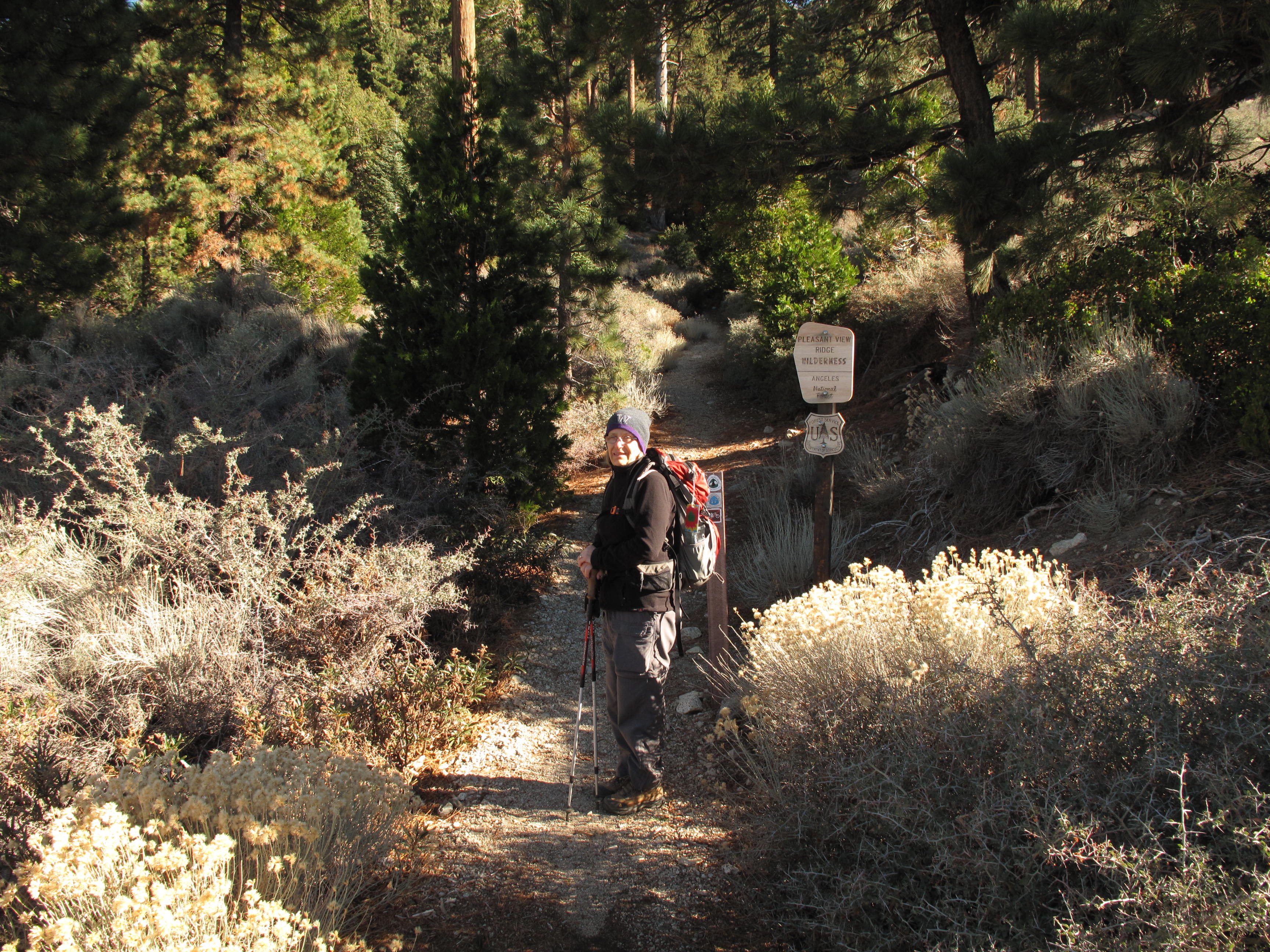
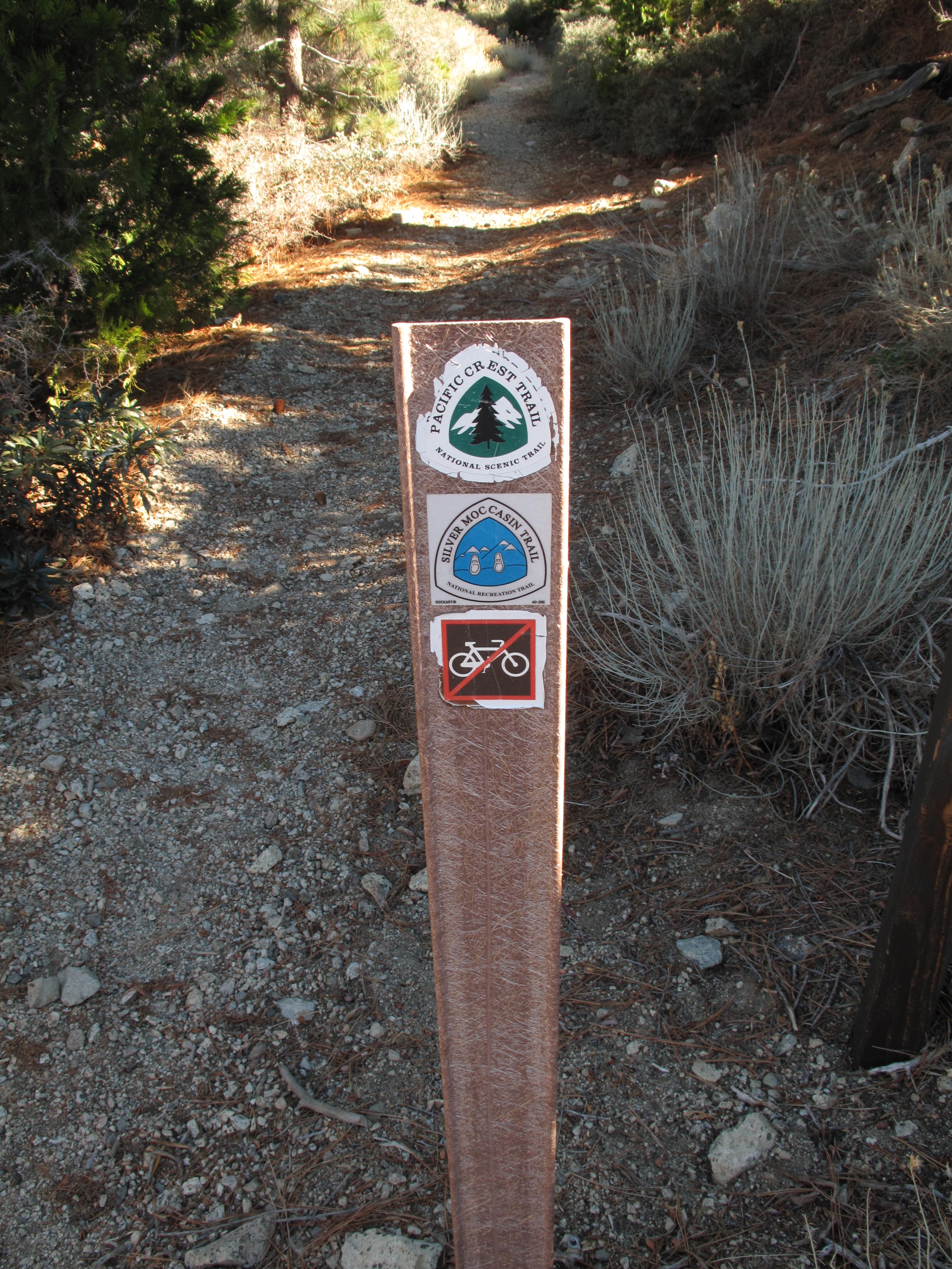
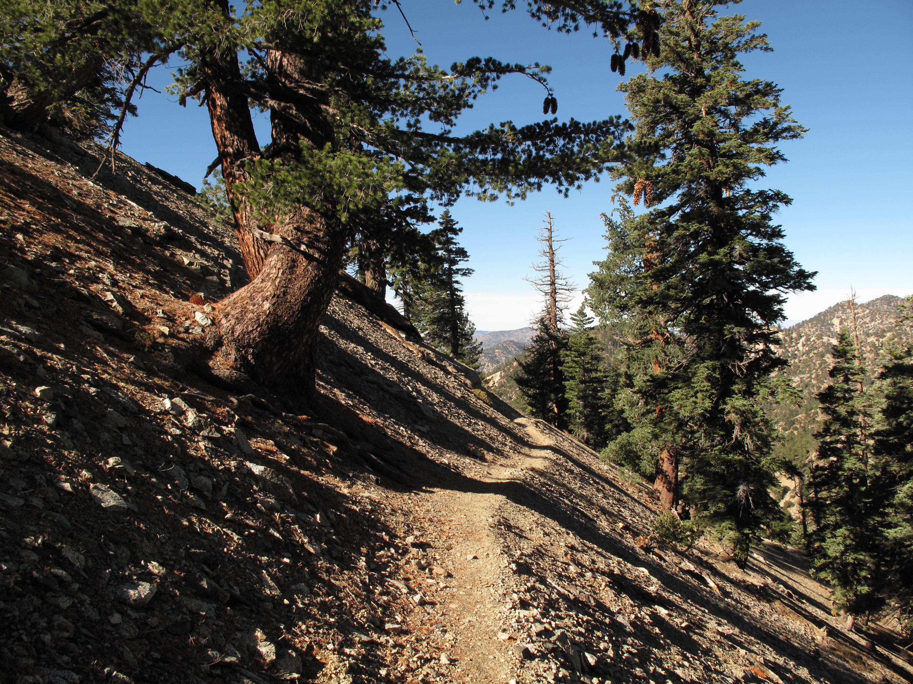
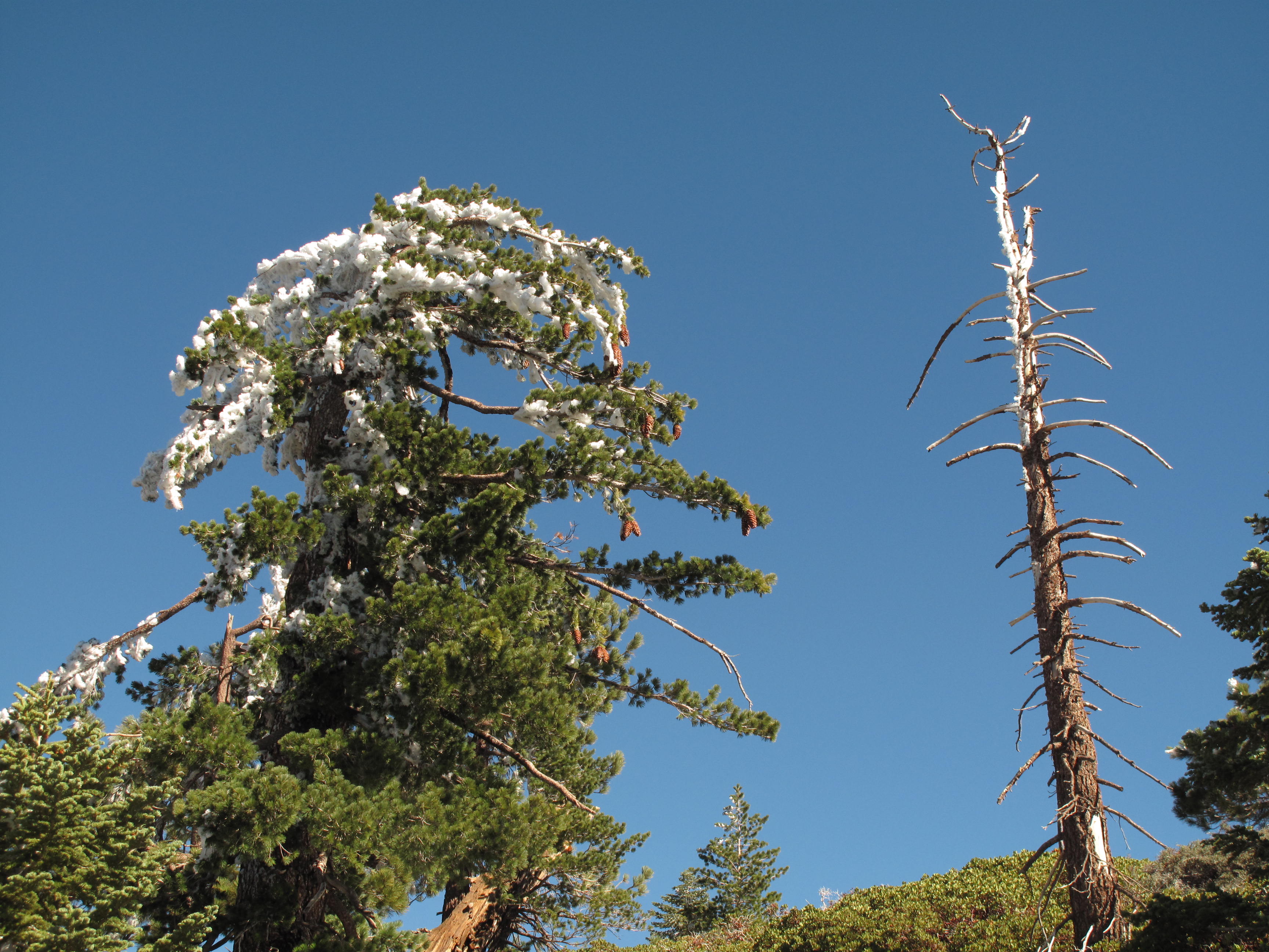
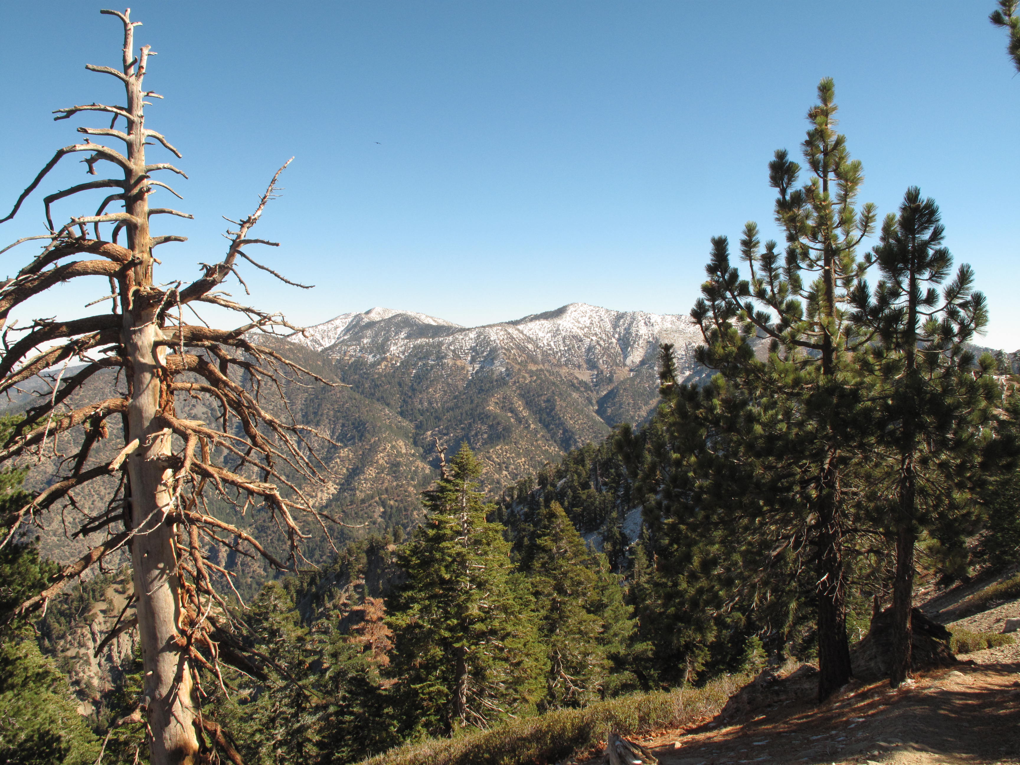
Mount Williamson lies just north of the Angeles Crest Highway (SR2) in the San Gabriel Mountains of Southern California. It is 8,248 feet in elevation, and is reached via an approximately 6 mile RT trail through Scrub Oak, Ponderosa Pine and other vegetation typical of the San Gabriel range. The elevation gain is apptroximately 1,500 feet. The first part of the trail is on the Pacifc Crest Trail, and so is in great shape.
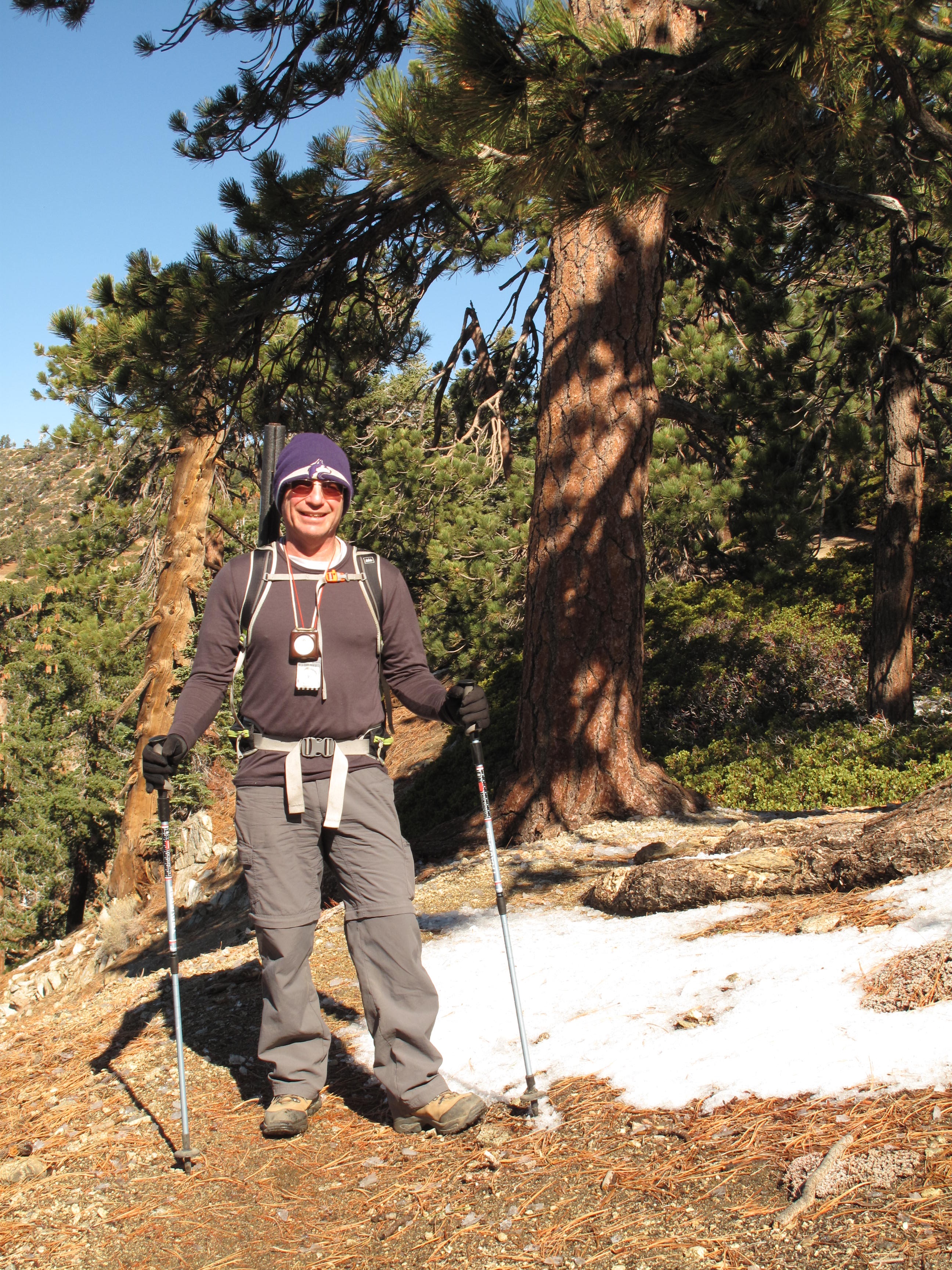
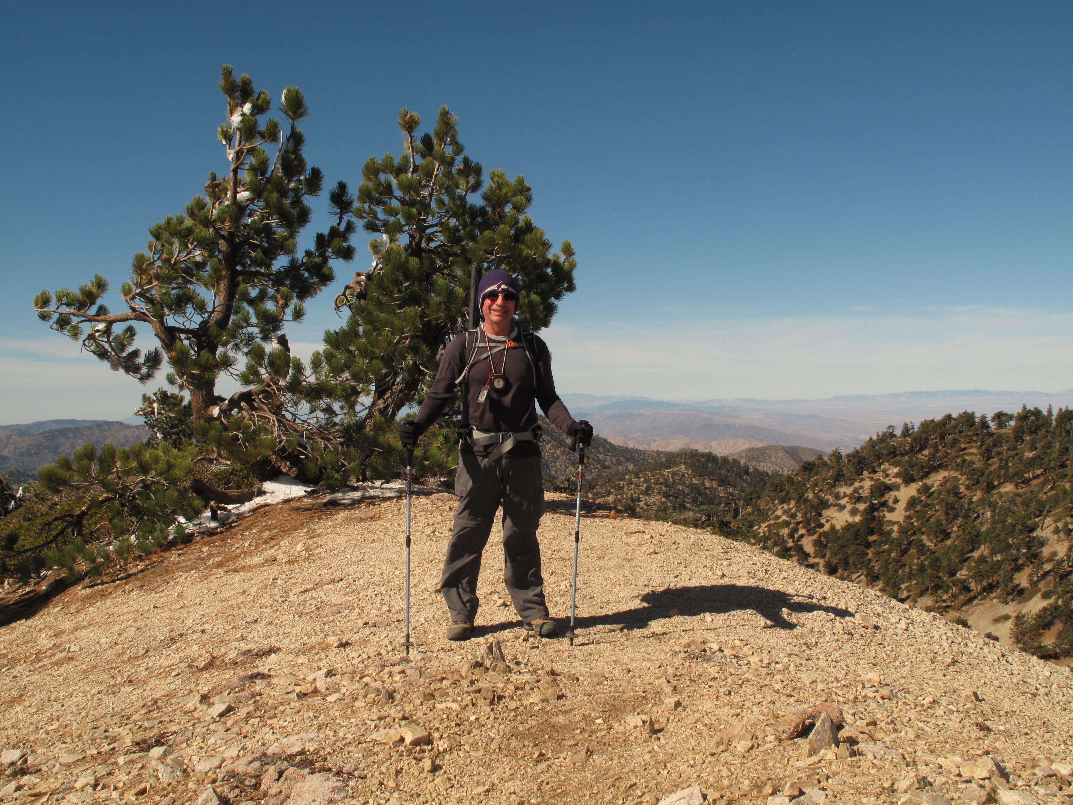
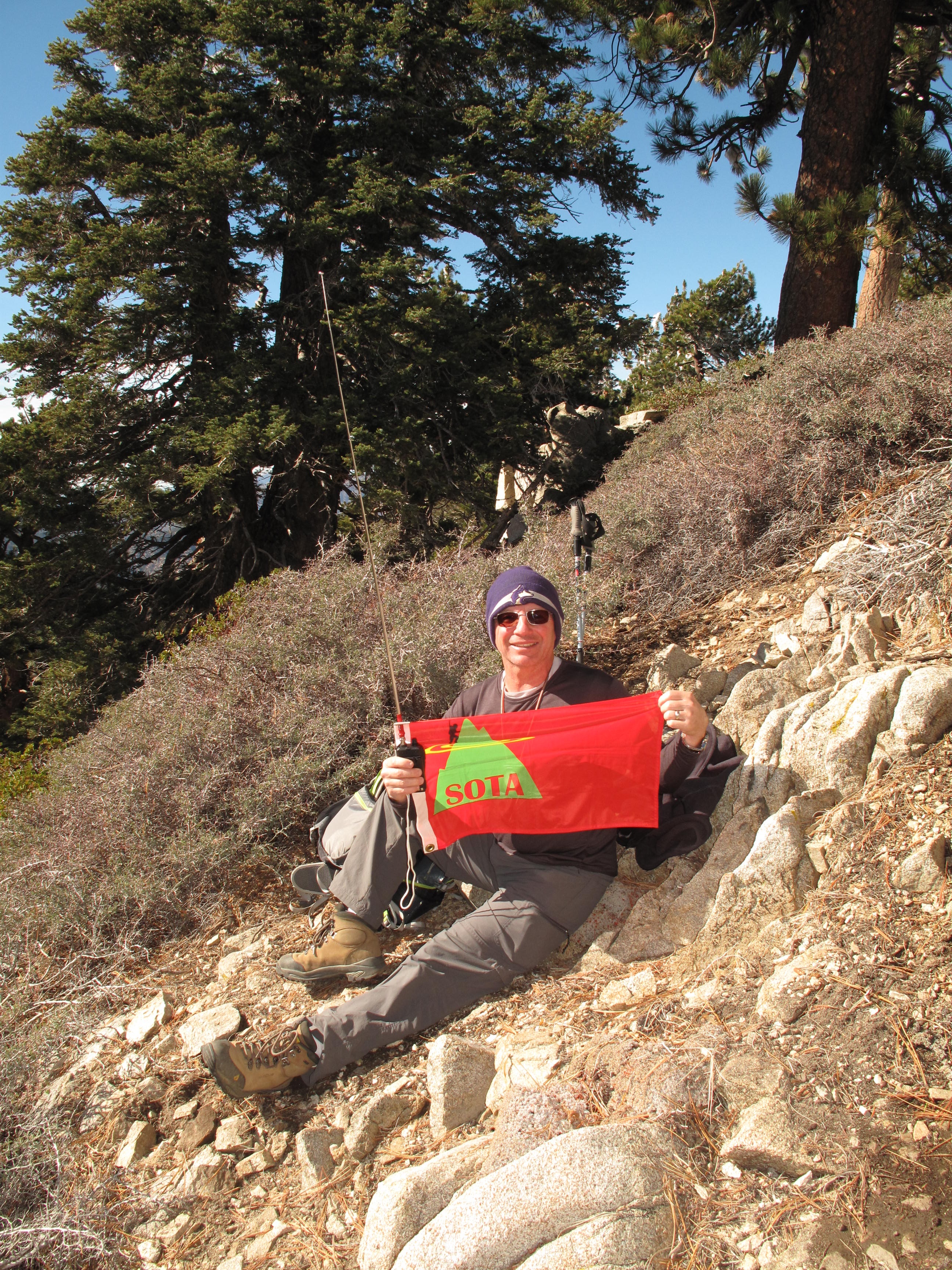
Temperature at the TH at 9:00 AM, 11/03/14, was 35 degrees Fahrenheit and the wind was blowing strongly from the North / NE at a steady 25 to 30 MPH. It was very cold but sunny. We made quick work of the trail, mainly moving fast in order to keep warm. The altitude was a little bit of a factor. There were patches of new snow and ice, as result of the storm that had passes through 2 days before. The new snow level was approximately 7,500 feet. On the Summit, there was little shelter from the wind. I picked an operating position on the lee side of the summit ridge, but this provided little relief from the biting wind & cold. At this point, we estimated the wind to still be a steady 30 - 35 mph. The effective Wind Chill Chart temperature was in the mid to low 20's F (See: http://www.crh.noaa.gov/ddc/?n=windchill ). Consequently I limited my contacts to 2M FM, even tough I had carried the full HF station with me to the summit. Between the cold and our plan to activate anothe SOTA Summit that same day, we did not tarry on the summit too long.
It was nice to be back at the car, and warming up a bit before continuing on to Kratka Ridge for anothe cold SOTA Activation. Althogether a great hike! Thank you to Chasers.