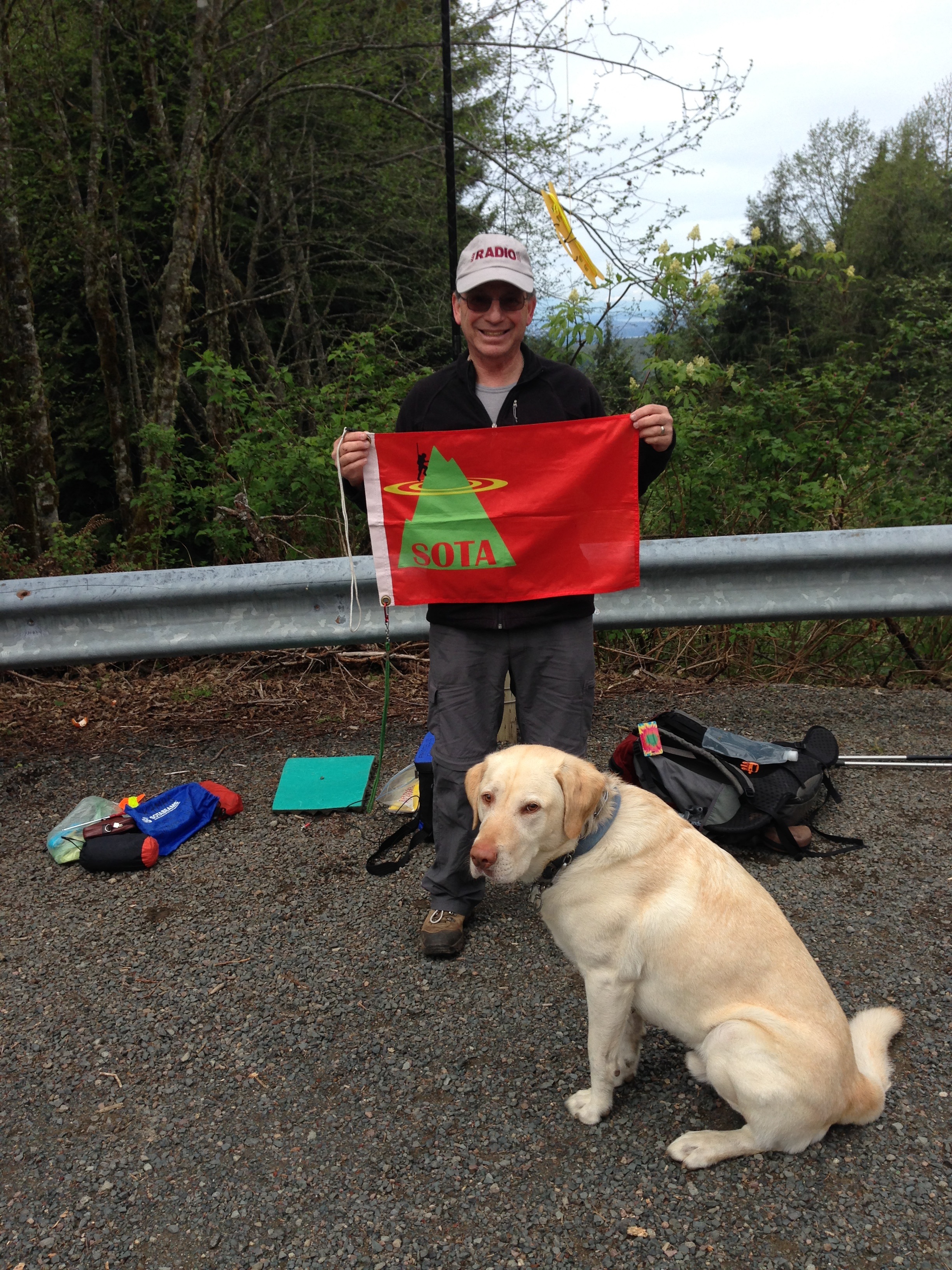
A very nice springtime activation of Squak Mountain, 2,024 Feet, 617 Meters elevation, a 2 point SOTA summit. This was a return trip to work HF, as opposed the all 2M FM I used on my first activation of Squak, a little less than a year ago. We also ascended via the much less crowded East Ridge Trail, through nice old growth evergreen trees, and the lush green growth of spring. I highly recommend the East Ridge route on Squak!
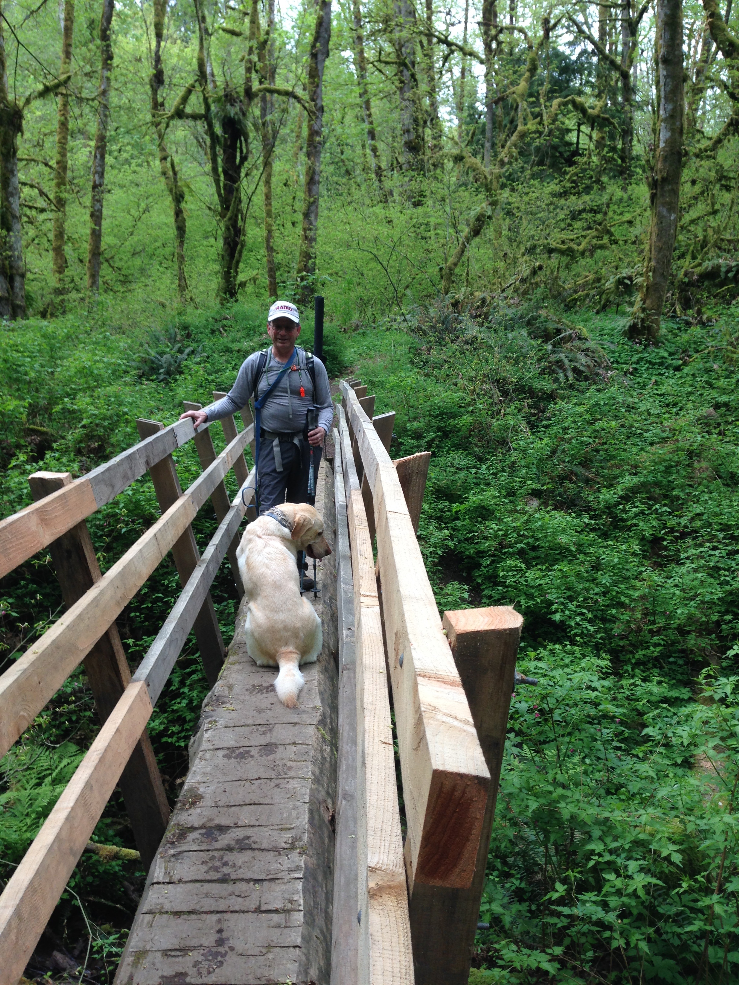
The trailhead is accessed from the Sycamore neighborhood in the SE quadrant of Issaquah. See the following link for a great topograhic map showing the entire area: http://your.kingcounty.gov/ftp/gis/web/vmc/recreation/bct_cougarsquaktiger_brochure.pdf At 9:45 AM the temperature at the trailhead was approximately 54 degrees, which was perfect for the hike. Accompanying me were my wife Sharon, and Dexter, the SOTA Dog. The trail begins between 2 home on a narrow corridor accessing the Sycamore Access Trail. See photo.
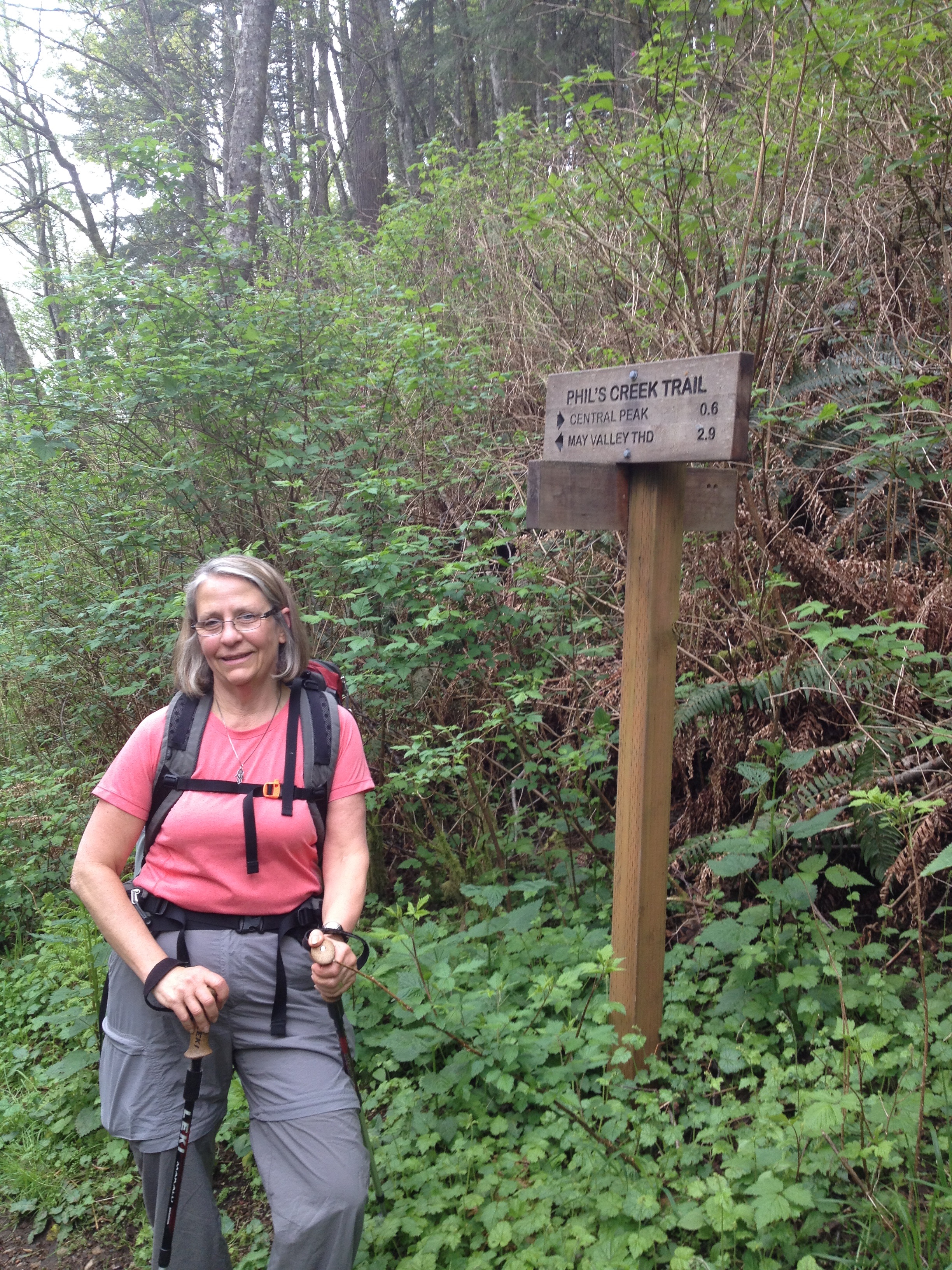
The East Ridge trail combination that we took was 5.6 miles round trip, with approximately 1,800 feet gain, including a few up and down sections. The trail is almost entirely shaded, with occasional glimpses to neighboring Tiger Mountain to the east, and Cascades to the north and northeast.
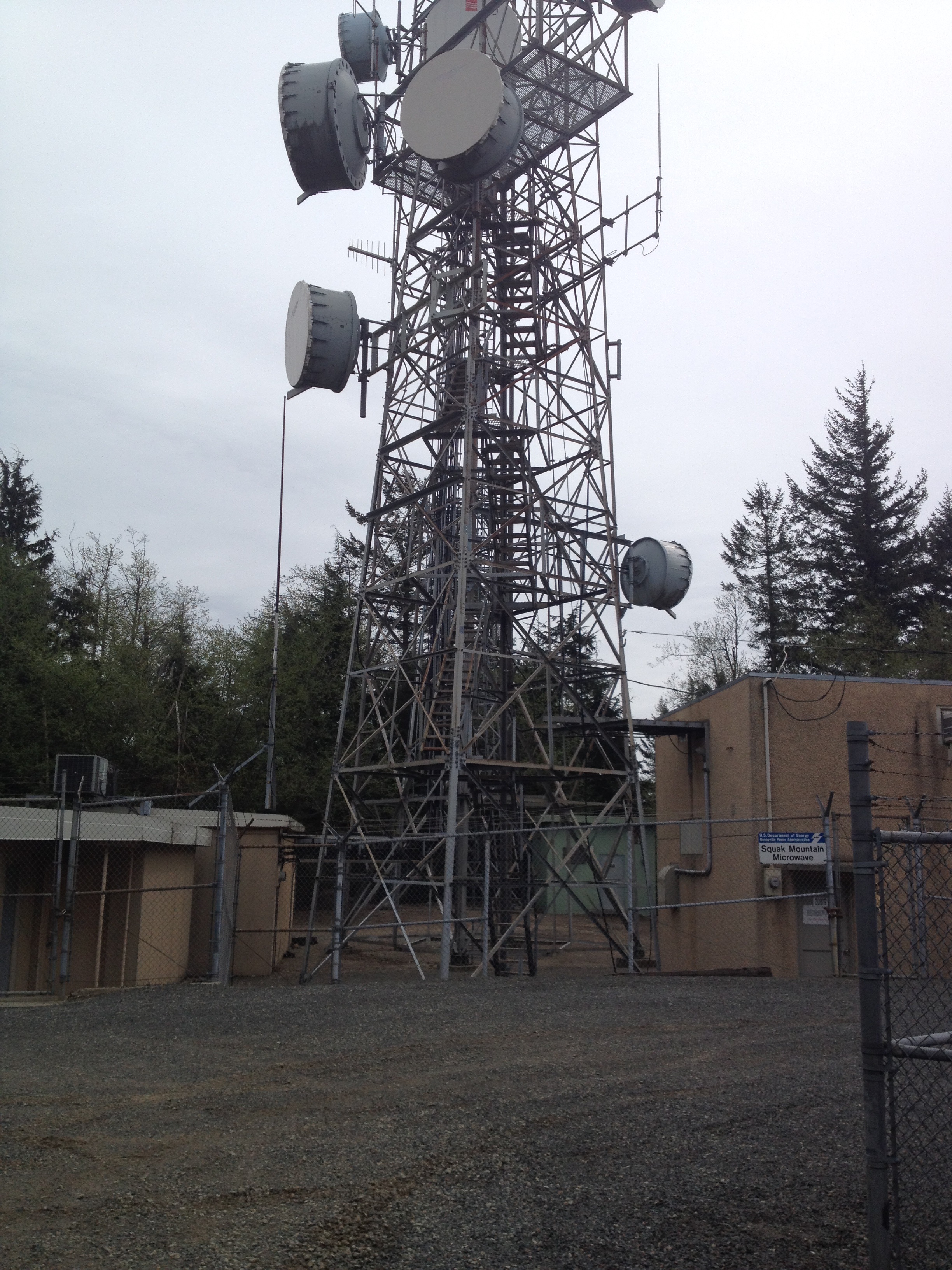
The summit area is covered with all sorts of commercial communications equipment, as well as some Amateur Radio repeaters. I was concerned about strong RF in the summit vicinity, however all worked out well. I made 11 contacts, all on 40M.
Thank you very much to all the chasers that made for an interesting little pile-up. Contacts (all on 40M, SSB) were: NM7L; VE7IS; WA7RPM; KV7L; KC7TV; KI6DER; KC7HFL; K7WND; W7ZOI; KK7VL & W7ARC