Half Wave on Full Wave...barely Worked!
On Sunday, April 28, 2019, My SOTA Buddy, Tim, KG7EJT, and I headed to Church...Mountain that is. For SOTA purposes, this smallish peak, along the Wenatchee River, in the deep Tumwater Canyon area, is called Full Wave Mountain. On USGS maps it is referred to as Church Mountain.
I had been looking for springtime Activations on Un-Activated peaks to venture out to, while the high country is still buried in snow, and access to trail heads is problematic. Full Wave Mountain came up in my search.
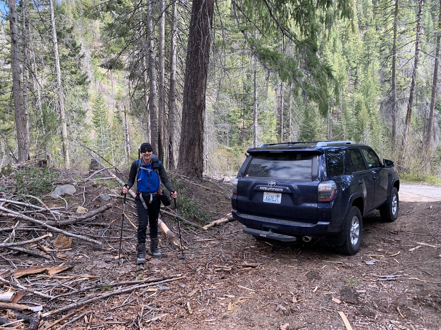
Tim agreed to give this not too prominent peak a try. We were at the TH at 10:10 AM and on our way at 10:20 AM. There was no reason for an earlier start, as the "route" distance is approximately .75 miles and 1,100 feet gain. We had not realized the area we were visiting was substantially incinerated in the great Chiwaukum Fire of July 2014. The parking / trail head area is at the junction of USFS Road 7905 at Hatchery Creek (which flows into the Wenatchee River), and a little stub "road" heading North to an unnamed lake at the West foot of Church Mountain. This is at location 47.6742, -120.7498. Access to USFS road 7905 is directly off SR-2 (Stevens Pass Highway), about 8.8 miles North of the town of Leavenworth. The road is just before a substantial concrete bridge spanning the Wenatchee River, coming from the North, Stevens Pass side.
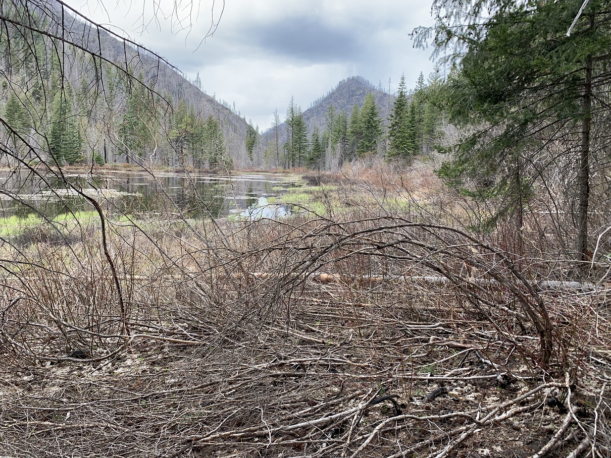
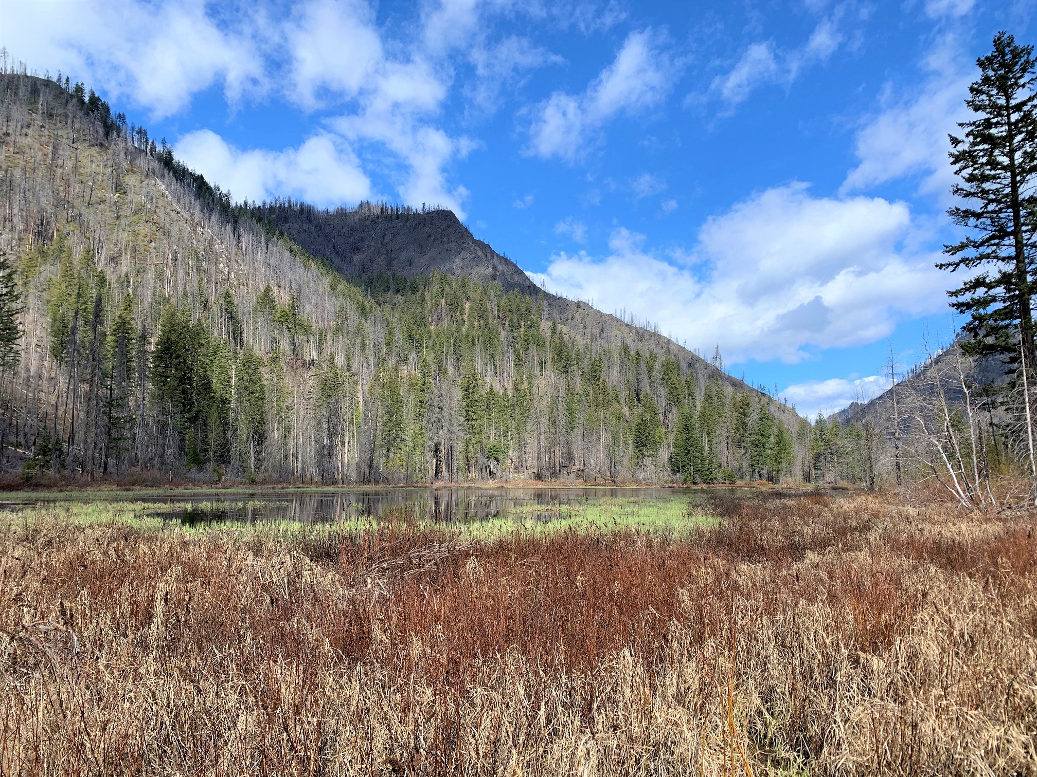
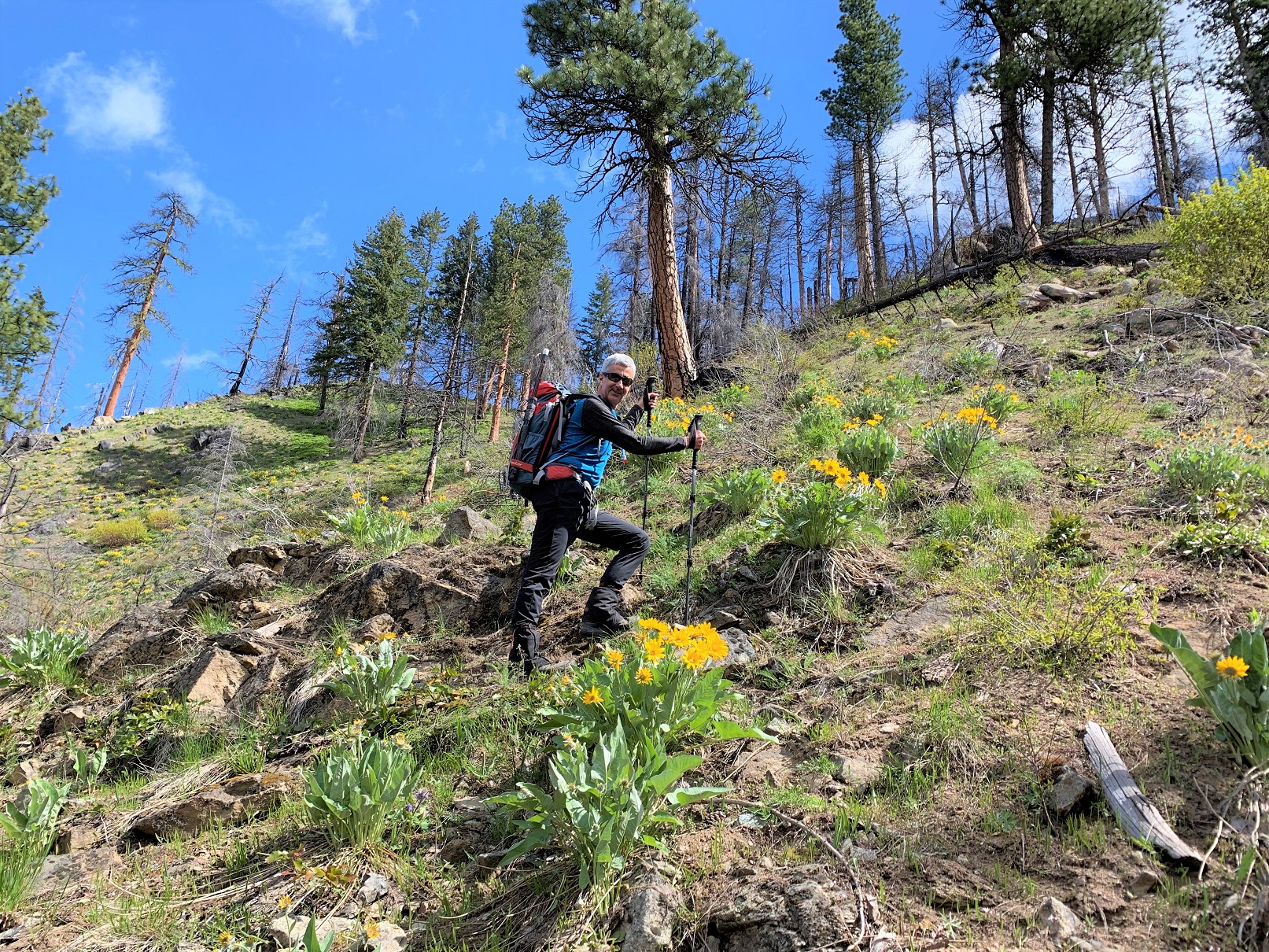
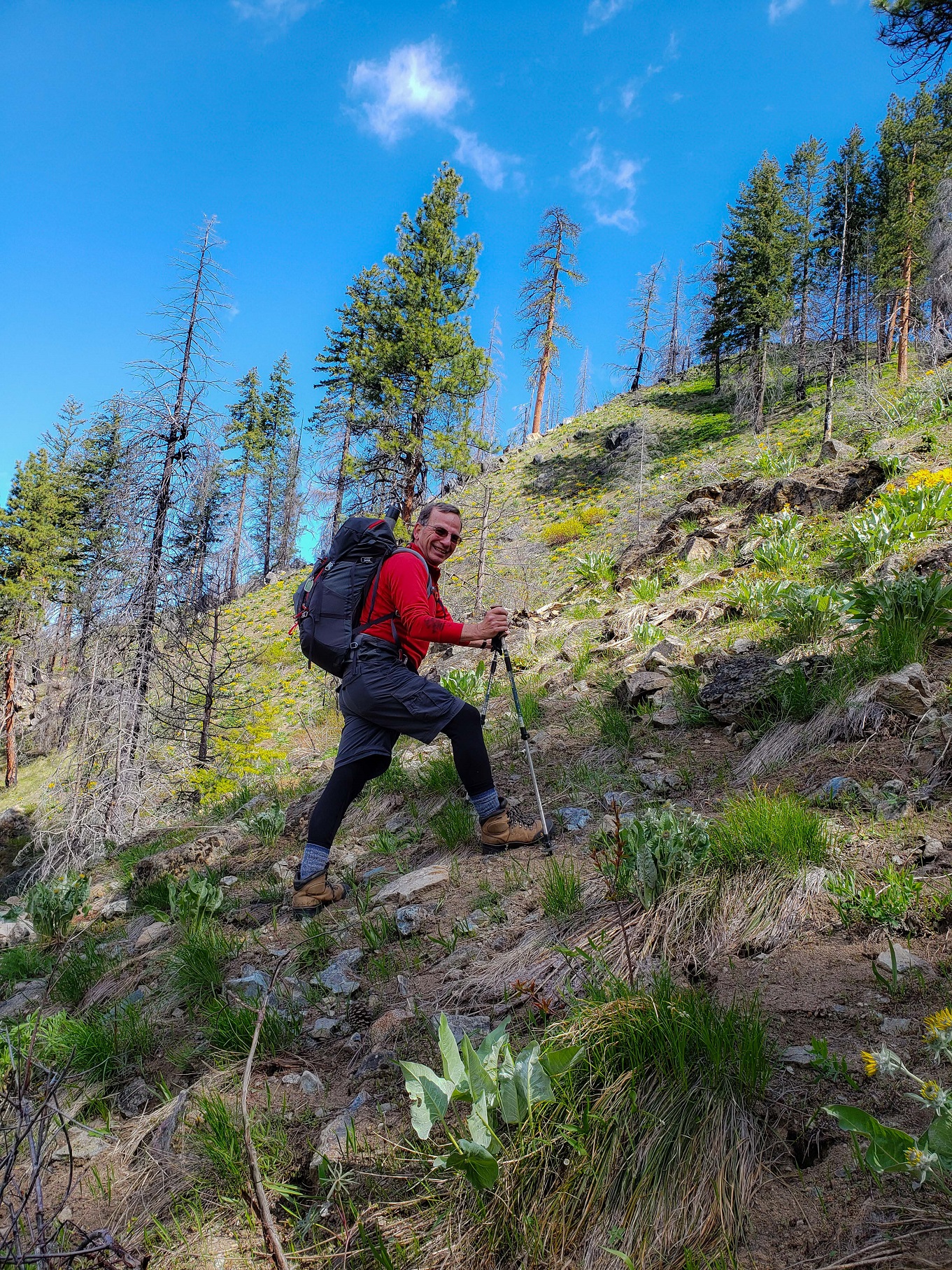
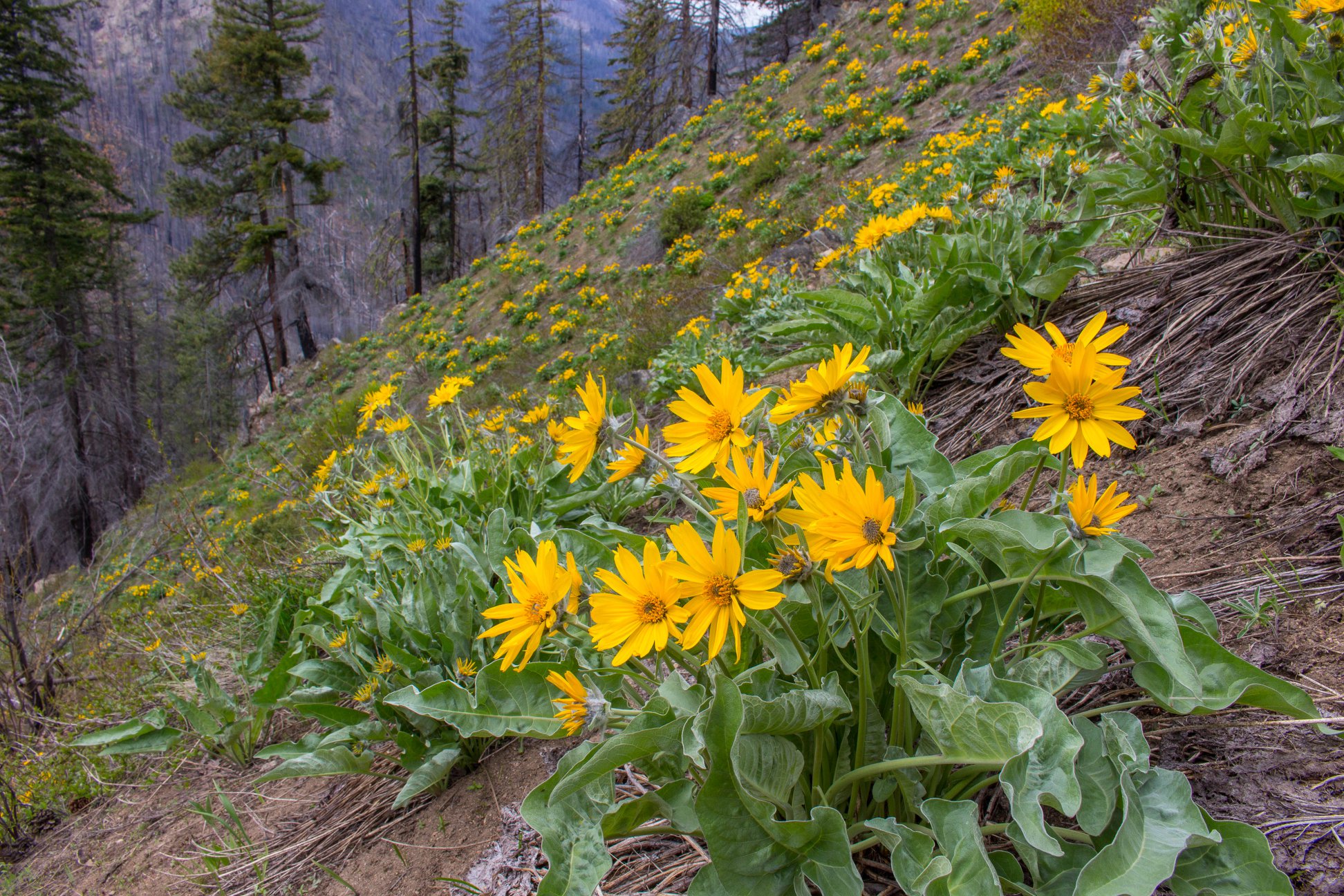
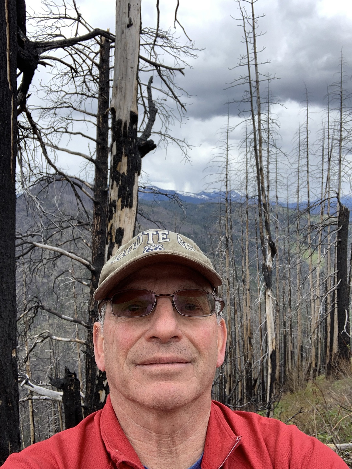
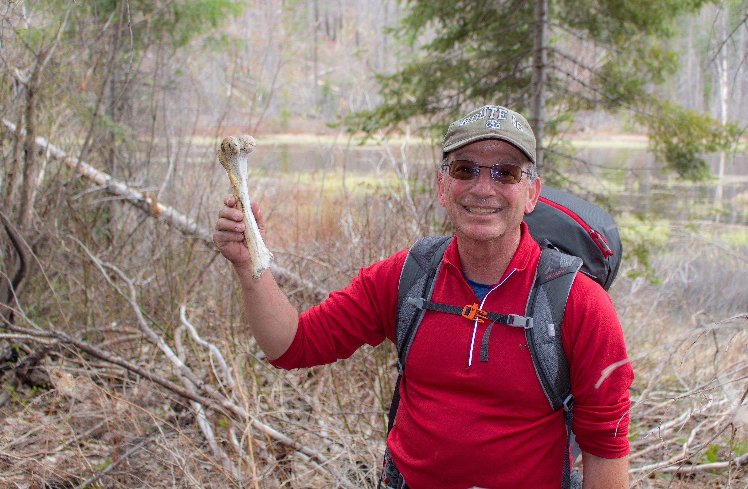
We worked our way North on the abandoned "road". It was entirely overgrown and festooned with fallen trees. Quite unpleasant. There is no trail per se, and the route is XC travel through brush and timber. Soon we arrived at the unnamed lake at the West foot of Church Mountain. Evidence of the Chiwaukum Fire could be seen on the lower nearby hills. We turned East through heavy brush and downed trees towards the summit. Most of the elevation gain of 1,100 feet was up the steep West slope of the mountain, gained in less than 1/2 mile. About half way up the slope, we broke out into more open and pleasant terrain. The flowers were in display, especially the pretty, yellow Arrowleaf Balsamroot. We followed animal tracks, which made the going a little easier. We saw scat of bear, elk and deer along the way.
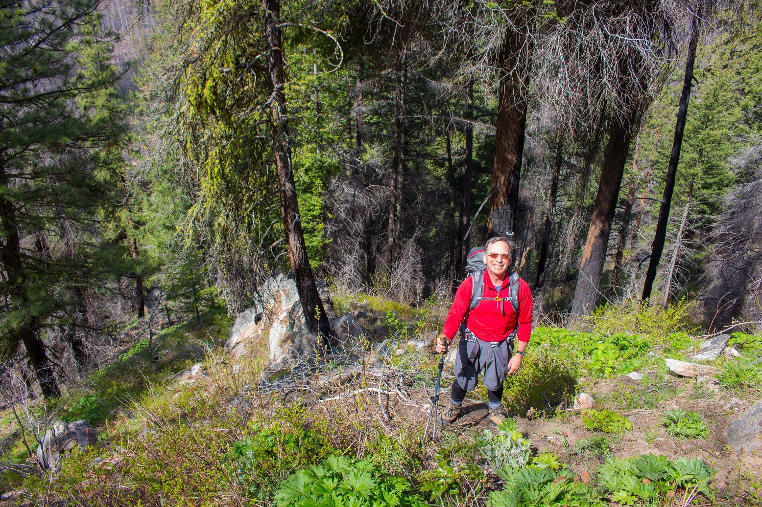
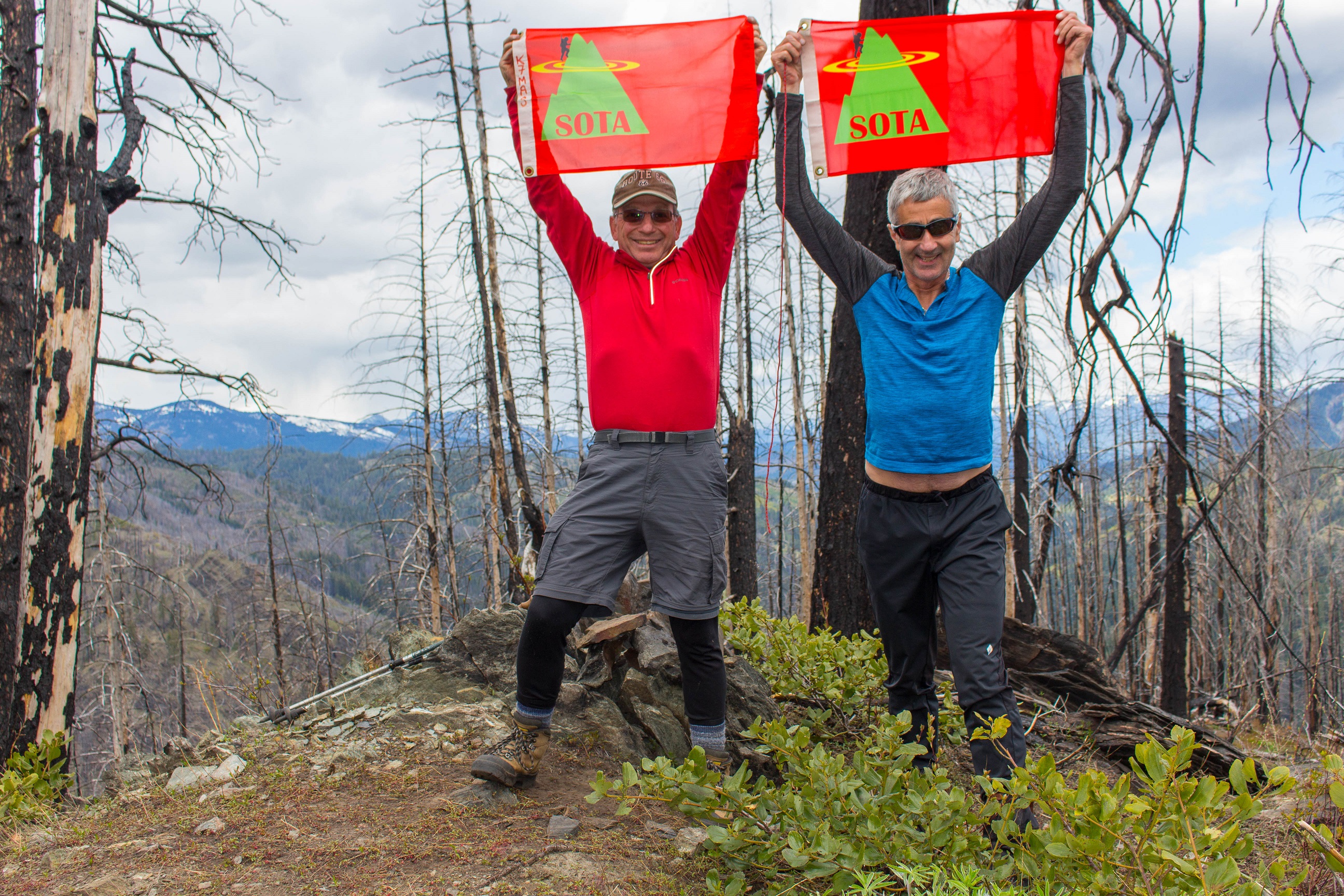
We reached the summit area in about 1 hour of climbing from the car, up the steep West face. The upper slopes are more open, with a mix of burned and healthy trees, including some very large Ponderosa Pines. Within 15 minutes, Tim was on the air on 20M and I was about 5 minutes behind him. We had to alternate bands and transmitting times so as not to interfere with each other. We switched back and forth between 20M and 40M. When it became apparent that HF band conditions were not great for SSB, we switched to 2M FM, which proved fruitful. Tim used a small and light 35-watt linear amplifier for 2M, which gave him a distinct advantage over my 7-watt signal. We both used the same "Slim Jim" roll up J-Pole antennas for 2 Meters.
After about 2 hours on the summit, we could see dark clouds and rain moving towards us from the NE. We packed up and headed down the West face, deviating slightly from our path up the mountain. On the lower slopes of the West face, we got into some thicker brushy stretches, but soon made it down to the unnamed lake, and found our way onto the overgrown road, and back to the car.
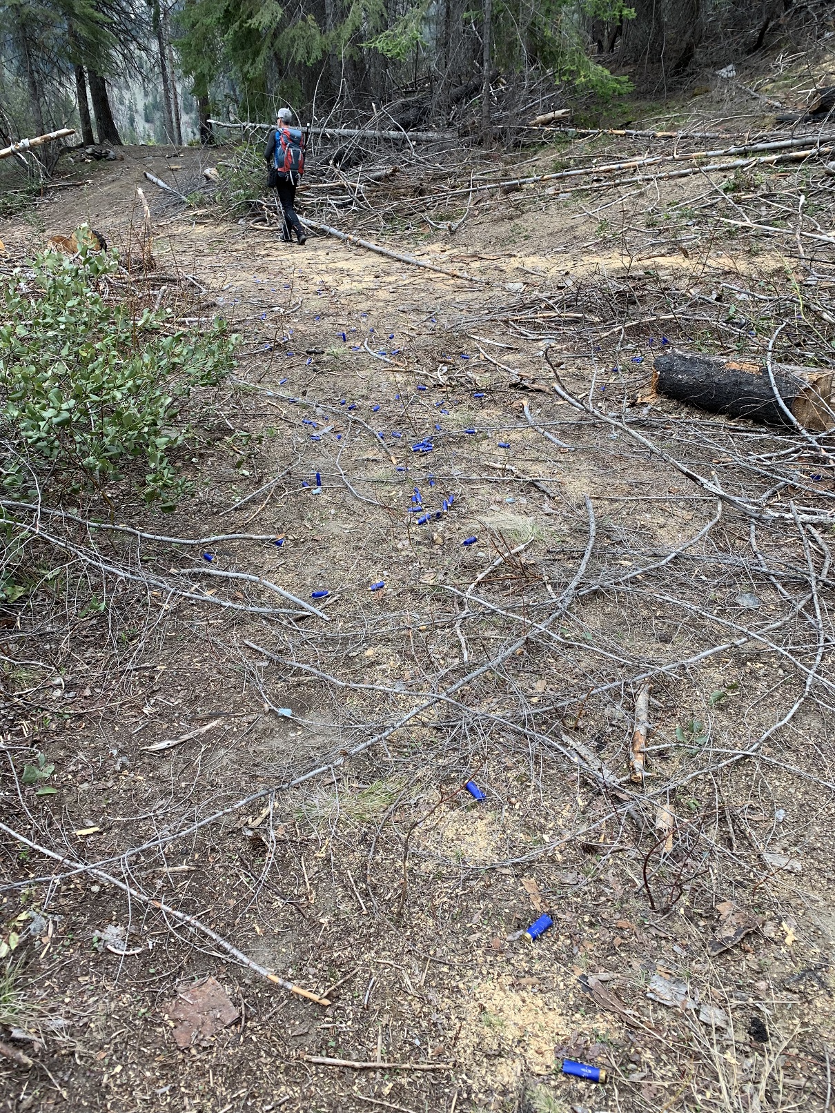
The area around where we parked had been used as an unsanctioned shooting range, and was substantially trashed. We found hundreds of shell casings, empty ammunition boxes, beer cans and even an empty cannabis product container. I counted 10 different caliber and types of shell casings, from long guns, semi automatic rifles, shotguns and handguns. We were happy no one else was up in the area that day. We had the mountain to ourselves.
All together a great outing and Activation on a previously un-Activated peak. Early spring is the preferable time of year to Activate this peak, as the brush will only get thicker later in the Spring and Summer seasons. Because of the fires in the area, the peak is not as ascetically pleasing as it could be, but the flowers and good company made up for this.
THE HALF WAVE ON FULL WAVE REFERENCE = 1/2 WAVE, 20M END FED ANTENNA, ON FULL WAVE MOUNTAIN, WORKED AT 1/4 WAVE EFFICIENCY... DUE TO BAND CONDITIONS!